|
Hunsrück Club
The Hunsrück Club () is a regional local history, cultural and rambling club in the German state of Rhineland-Palatinate. It is a member of the Association of German Mountain and Rambling Clubs (''Verband Deutscher Gebirgs- und Wandervereine'') which has 55 members in German. The Hunsrück Club manages numerous hiking trails, paths and hostels in the mountain of the Hunsrück The Hunsrück () is a long, triangular, pronounced mountain range, upland in Rhineland-Palatinate, Germany. It is bounded by the valleys of the Moselle (river), Moselle-Saar (north-to-west), the Nahe (south), and the Rhine (east). It is continued .... It was founded in 1890 as the "Club for the Moselle, Hochwald and Hunsrück" (''Verein für Mosel, Hochwald und Hunsrück''). It has almost 40 branches including 20 local rambling groups and around 3,000 members. The club is not just dedicated to ramblers but also researches the cultural history of the Hunsrück. The club also assists in maintaining footpaths ... [...More Info...] [...Related Items...] OR: [Wikipedia] [Google] [Baidu] |
Rhineland-Palatinate
Rhineland-Palatinate ( , ; ; ; ) is a western state of Germany. It covers and has about 4.05 million residents. It is the ninth largest and sixth most populous of the sixteen states. Mainz is the capital and largest city. Other cities are Ludwigshafen am Rhein, Koblenz, Trier, Kaiserslautern, Worms, and Neuwied. It is bordered by North Rhine-Westphalia, Saarland, Baden-Württemberg and Hesse and by France, Luxembourg and Belgium. Rhineland-Palatinate was established in 1946 after World War II, from parts of the former states of Prussia (part of its Rhineland and Nassau provinces), Hesse ( Rhenish Hesse) and Bavaria (its former outlying Palatinate kreis or district), by the French military administration in Allied-occupied Germany. Rhineland-Palatinate became part of the Federal Republic of Germany in 1949 and shared the country's only border with the Saar Protectorate until the latter was returned to German control in 1957. Rhineland-Palatinate's natural and c ... [...More Info...] [...Related Items...] OR: [Wikipedia] [Google] [Baidu] |
Hunsrück
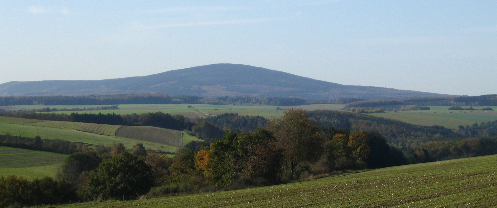
The Hunsrück () is a long, triangular, pronounced mountain range, upland in Rhineland-Palatinate, Germany. It is bounded by the valleys of the Moselle (river), Moselle-Saar (north-to-west), the Nahe (south), and the Rhine (east). It is continued by the Taunus mountains, past the Rhine and by the Eifel past the Moselle. To the south of the Nahe is a lower, hilly country forming the near bulk of the Palatinate (region), Palatinate region and all of the, smaller, Saarland. Below its north-east corner is Koblenz. As the Hunsrück proceeds east it acquires north-south width and three notable gaps in its southern ridges. In this zone are dendritic drainage, multi-branch headwaters including the Simmerbach ending at Simmertal on the southern edge. This interior is therefore rarely higher than above sea level. Peaks and escarpments are principally: the Schwarzwälder Hochwald, (Black Forest) Hochwald, the Idar Forest, the Soonwald, and the Bingen Forest. The highest mountain is the Erb ... [...More Info...] [...Related Items...] OR: [Wikipedia] [Google] [Baidu] |
E3 European Long Distance Path
The E3 European long distance path, or just E3 path, is a long-distance footpath that is planned to run from the Portuguese coast to the Black Sea in Bulgaria. It is one of the network of European long-distance paths. Route The completed sections of the route pass through Spain, France, Luxembourg, Belgium, Germany, the Czech Republic, Slovakia, a short stretch in Poland, Hungary, Romania, and Bulgaria. It is planned to extend the route into Portugal to end at Cape St. Vincent. Gallery Image:e2e3sign.jpg, Sign on the path of the E3 near Vianden, Luxembourg. File:Karlovy Vary, na Doubské vyhlídce.jpg, E3 as a part of the standard blue-marked path near Karlovy Vary Karlovy Vary (; , formerly also spelled ''Carlsbad'' in English) is a spa town, spa city in the Karlovy Vary Region of the Czech Republic. It has about 49,000 inhabitants. It is located at the confluence of the Ohře and Teplá (river), Teplá ri ..., Czech Republic. Image:Don't_ask_which_way_in_Slovakia.jpg ... [...More Info...] [...Related Items...] OR: [Wikipedia] [Google] [Baidu] |
E8 European Long Distance Path
The E8 European long distance path or E8 path is one of the European long-distance paths, leading 4,700 km (2,920 miles) across Europe, from Cork in Ireland to Bulgaria. Route After Ireland it crosses the Irish Sea into Wales and then into England, where it follows part of the Trans Pennine Trail. After crossing the North Sea The North Sea lies between Great Britain, Denmark, Norway, Germany, the Netherlands, Belgium, and France. A sea on the European continental shelf, it connects to the Atlantic Ocean through the English Channel in the south and the Norwegian Se ..., it passes through the Netherlands, Germany, Austria, Slovakia, Poland, Ukraine and Romania. It finally crosses Bulgaria before reaching the border to Turkey. History It was the first European long-distance path to be designated, and opened, in the UK. The section was opened in 1996. Some of the eastern sections of the route are yet to be finalised. External links E8 at the European Ramblers' Associ ... [...More Info...] [...Related Items...] OR: [Wikipedia] [Google] [Baidu] |
Rheinhöhenweg Trail
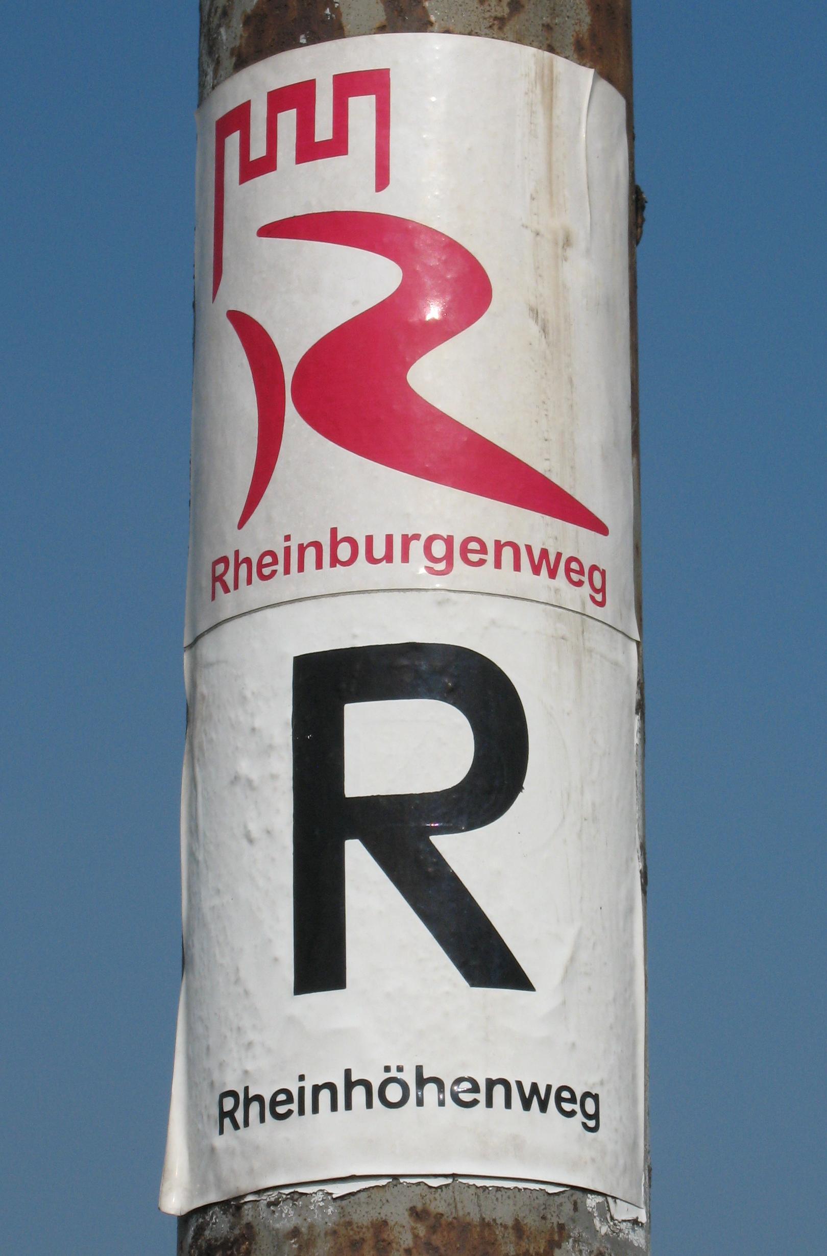
The Rheinhöhenweg Trail is a popular hiking trail on the mountains of the Rhine Valley. It leads from the Lower Rhine in Bonn passing the Lorelei, Loreley up to the Upper Rhine. There is a Rheinhöhenweg Trail on both sides of the Rhine River. On the left side it goes from Bonn to Alsheim, which is to the south of Mainz, with a total length of 240 km. On the right side it goes from Bonn-Beuel to Wiesbaden with a total length of 272 km. Both trails together have a combined length of over 500 km. The Rheinhöhenweg Trail is marked by a black R on a white background. The trails on the left and on the right side are frequently connected by hiking trails called "Rheinhöhen Connection Trails", marked by the sign "RV". The Rheinhöhenweg Trail passes a vast number of famous castles like the Godesburg, Lahneck Castle, Stolzenfels Castle, Castle Rheineck, Rheinstein Castle, Drachenburg Palace and many others. External links Rheinhöhenweg trail*Rheinhöhenweg* ... [...More Info...] [...Related Items...] OR: [Wikipedia] [Google] [Baidu] |
Saar Footpath
Saar or SAAR has several meanings: People Given name *Sarr Boubacar (born 1951), Senegalese professional football player * Saar Ganor, Israeli archaeologist *Saar Klein (born 1967), American film editor Surname * Ain Saar (born 1968), Estonian (Võro) punk rocker and freedom fighter *Alison Saar (born 1956), American artist * Anti Saar (born 1980), Estonian children’s writer and translator *Betye Saar (born 1926), American artist * Elmar Saar (1908–1981), Estonian footballer and coach * Erik Saar, American intelligence officer * Evar Saar (born 1969), Estonian (Võro) non-fiction writer *Ferdinand von Saar (1833–1906), Austrian writer * Getter Saar (badminton) (born 1992), Estonian badminton player * Getter Saar (born 1999), Estonian footballer *Gideon Sa'ar (born 1966), Israeli politician * Heleri Saar (born 1979), Estonian footballer *Indrek Saar (born 1973), Estonian actor and politician * Jüri Saar (born 1956), Estonian politician *Katriin Saar (born 2002), Esto ... [...More Info...] [...Related Items...] OR: [Wikipedia] [Google] [Baidu] |
Ausonius Way
Decimius Magnus Ausonius (; ) was a Roman poet and teacher of rhetoric from Burdigala, Aquitaine (now Bordeaux, France). For a time, he was tutor to the future Emperor Gratian, who afterwards bestowed the consulship on him. His best-known poems are ''Mosella'', a description of the River Moselle, and ''Ephemeris'', an account of a typical day in his life. His many other verses show his concern for his family, friends, teachers and circle of well-to-do acquaintances and his delight in the technical handling of meter. Biography Decimius Magnus Ausonius was born in Burdigala (now Bordeaux), the son of Julius Ausonius (378), a physician of Greek ancestry,The Cambridge History of Classical Literature, Edward John Kenney, Cambridge University Press, p.16 and Aemilia Aeonia, daughter of Caecilius Argicius Arborius, descended on both sides from established, land-owning Gallo-Roman families of southwestern Gaul. Ausonius was given a strict upbringing by his aunt and grandmother, both ... [...More Info...] [...Related Items...] OR: [Wikipedia] [Google] [Baidu] |
Hunsrück History Society
The Hunsrück () is a long, triangular, pronounced mountain range, upland in Rhineland-Palatinate, Germany. It is bounded by the valleys of the Moselle (river), Moselle-Saar (north-to-west), the Nahe (south), and the Rhine (east). It is continued by the Taunus mountains, past the Rhine and by the Eifel past the Moselle. To the south of the Nahe is a lower, hilly country forming the near bulk of the Palatinate (region), Palatinate region and all of the, smaller, Saarland. Below its north-east corner is Koblenz. As the Hunsrück proceeds east it acquires north-south width and three notable gaps in its southern ridges. In this zone are dendritic drainage, multi-branch headwaters including the Simmerbach ending at Simmertal on the southern edge. This interior is therefore rarely higher than above sea level. Peaks and escarpments are principally: the Schwarzwälder Hochwald, (Black Forest) Hochwald, the Idar Forest, the Soonwald, and the Bingen Forest. The highest mountain is the Erb ... [...More Info...] [...Related Items...] OR: [Wikipedia] [Google] [Baidu] |


