|
Hrísey
Hrísey () is a small island off the north coast of Iceland, situated approximately north of Akureyri, in Eyjafjörður, at . Since 2004, the island has been a part of the municipality of Akureyri, having previously been a municipality in its own right. Hrísey island itself has a total land area of . It is about long and across at its widest in the south. It is the second-largest island off the coast of Iceland (after Heimaey in the Vestmannaeyjar). It has a population of approximately 120 people and has been continuously inhabited since the Settlement of Iceland. The island is connected to the mainland by a ferry service to Árskógssandur, a fifteen-minute sailing. Historically, the island was used as a base for the fishing industry, first by Norwegians and Swedes, and then by Icelanders. By the late nineteenth century, it housed a herring salting factory. Overfishing in Icelandic waters led to a steep decline in the fishing industry in the 1960s, and the last fish free ... [...More Info...] [...Related Items...] OR: [Wikipedia] [Google] [Baidu] |
Akureyri
Akureyri (, ) is a town in northern Iceland, the country's fifth most populous Municipalities of Iceland, municipality (under the official name of Akureyrarbær , 'town of Akureyri') and the largest outside the Capital Region (Iceland), Capital Region. The municipality includes the town's neighbourhood at the head of Eyjafjörður and two farther islands: Hrísey at the mouth of Eyjafjörður and Grímsey off the coast. Nicknamed the "Capital of North Iceland", Akureyri is an important port and fishing centre. The area where Akureyri is located was settled in the 9th century, but did not receive a municipal charter until 1786. Allies of World War II, Allied units were based in the town during World War II. Further growth occurred after the war as the Icelandic population increasingly moved to urban areas. The area has a relatively mild climate because of geographical factors, and the town's ice-free harbour has played a significant role in its history. History The Norsemen, ... [...More Info...] [...Related Items...] OR: [Wikipedia] [Google] [Baidu] |
Eyjafjörður
Eyjafjörður (, ''Island Fjord'') is one of the longest fjords in Iceland. It is located in the central north of the country. Situated by the fjord is the country's fourth most populous municipality, Akureyri. Physical geography The fjord is long and narrow and measures 60 km from its head to its mouth. Its greatest width is 15 km between Ólafsfjörður and Gjögurtá at the fjord's mouth, but for the greater part of its length it is mostly between 5–10 km wide. The fjord is surrounded by hills and mountains on both sides; the mountains are taller on the west side, in the mountain range of the Tröllaskagi peninsula. In the outer part of the fjord there are no lowlands along the coast as the steep hills roll directly into the sea. Further south in the fjord there are strips of lowland along both coasts; these are wider on the west side. Several valleys lead from Eyjafjörður: most of them to the west, where the two most significant are Hörgárdalur and ... [...More Info...] [...Related Items...] OR: [Wikipedia] [Google] [Baidu] |
Islands Of Iceland
This is a list of islands of Iceland. It includes all islands larger than 1 km2, as well as a number of smaller islands that are considered significant either because they are or used to be inhabited, or for specific historical, geographical or geological reasons. Thousands of other small islands and skerries are found along the coast, especially in Breiðafjörður. The areas of some of these islands may vary comparatively rapidly due to volcanic activity and subsequent action by the sea. In the case of the groups of islands in Breiðafjörður, no area is listed. This is because measurement of the smaller islands is made difficult by a large tidal range of up to six metres. List Formerly disputed islands See also *Extreme points of Iceland *List of islands in the Atlantic Ocean *List of islands * '''' References {{Authority control Lists of islands by country, Iceland, List of islands of Islands of Iceland, Lists of landforms of Iceland, Islands ... [...More Info...] [...Related Items...] OR: [Wikipedia] [Google] [Baidu] |
Municipalities Of Iceland
The municipalities of Iceland ( ; Grammatical number#Overview, sing. ) are local administrative areas in Iceland that provide a number of services to their inhabitants such as kindergartens, elementary schools, waste management, social services, public housing, public transportation, services to senior citizens and disability, disabled people. They also govern zoning and can voluntarily take on additional functions if they have the budget for it. The autonomy of municipalities over their own matters is guaranteed by the Constitution of Iceland, Icelandic constitution. History The origin of the municipalities can be traced back to the Commonwealth of Iceland, commonwealth period in the 10th century when rural communities were organized into Hreppur, communes (''hreppar'' ) with the main purpose of providing help for the poorest individuals in society. When urbanization began in Iceland during the 18th and 19th centuries, several independent townships (''kaupstaðir'' ) were ... [...More Info...] [...Related Items...] OR: [Wikipedia] [Google] [Baidu] |
Settlement Of Iceland
The settlement of Iceland ( ) is generally believed to have begun in the second half of the ninth century, when Norsemen, Norse settlers migrated across the North Atlantic. The reasons for the migration are uncertain: later in the Middle Ages Icelanders themselves tended to cite civil strife brought about by the ambitions of the Norway, Norwegian king Harald I of Norway, but modern historians focus on deeper factors, such as a shortage of arable land in Scandinavia. Unlike Great Britain and Ireland, Iceland was unsettled land and could be claimed without conflict with existing inhabitants. On the basis of by Ari Þorgilsson, and , histories dating from the twelfth and thirteenth centuries and providing a wealth of detail about the settlement, the years 870 and 874 have traditionally been considered the first years of settlement. However, these sources are largely unreliable in the details they provide about the settlement, and recent research focuses more heavily on archaeological ... [...More Info...] [...Related Items...] OR: [Wikipedia] [Google] [Baidu] |
Eider Duck
The eiders () are large Mergini, seaducks in the genus ''Somateria''. The three extant species all breed in the cooler latitudes of the Northern Hemisphere. The down feathers of eider ducks and some other ducks and geese are used to fill pillows and quilts—they have given the name to the type of quilt known as an eiderdown. Taxonomy The genus ''Somateria '' was introduced in 1819 to accommodate the king eider by the English zoologist William Elford Leach, William Leach in an appendix to John Ross (Royal Navy officer), John Ross's account of his voyage to look for the Northwest Passage. The name is derived from Ancient Greek : ''sōma'' "body" (stem ''somat-'') and : ''erion'' "wool", referring to down feather, eiderdown. Steller's eider (''Polysticta stelleri'') is in a different genus despite its name. Species The genus contains three Extant taxon, extant species. Two undescribed species are known from fossils, one from Middle Oligocene rocks in Kazakhstan ... [...More Info...] [...Related Items...] OR: [Wikipedia] [Google] [Baidu] |
Arctic Tern
The Arctic tern (''Sterna paradisaea'') is a tern in the family Laridae. This bird has a circumpolar breeding distribution covering the Arctic and sub-Arctic regions of Europe (as far south as Brittany), Asia, and North America (as far south as Massachusetts). The species is strongly migratory, seeing two summers each year as it migrates along a convoluted route from its northern breeding grounds to the Antarctic coast for the southern summer and back again about six months later. Recent studies have shown average annual round-trip lengths of about for birds nesting in Iceland and Greenland and about for birds nesting in the Netherlands. These are by far the longest migrations known in the animal kingdom. The Arctic tern nests once every one to three years (depending on its mating cycle). Arctic terns are medium-sized birds. They have a length of and a wingspan of . They are mainly grey and white plumaged, with a red/orange beak and feet, white forehead, a black nape and ... [...More Info...] [...Related Items...] OR: [Wikipedia] [Google] [Baidu] |
Rock Ptarmigan
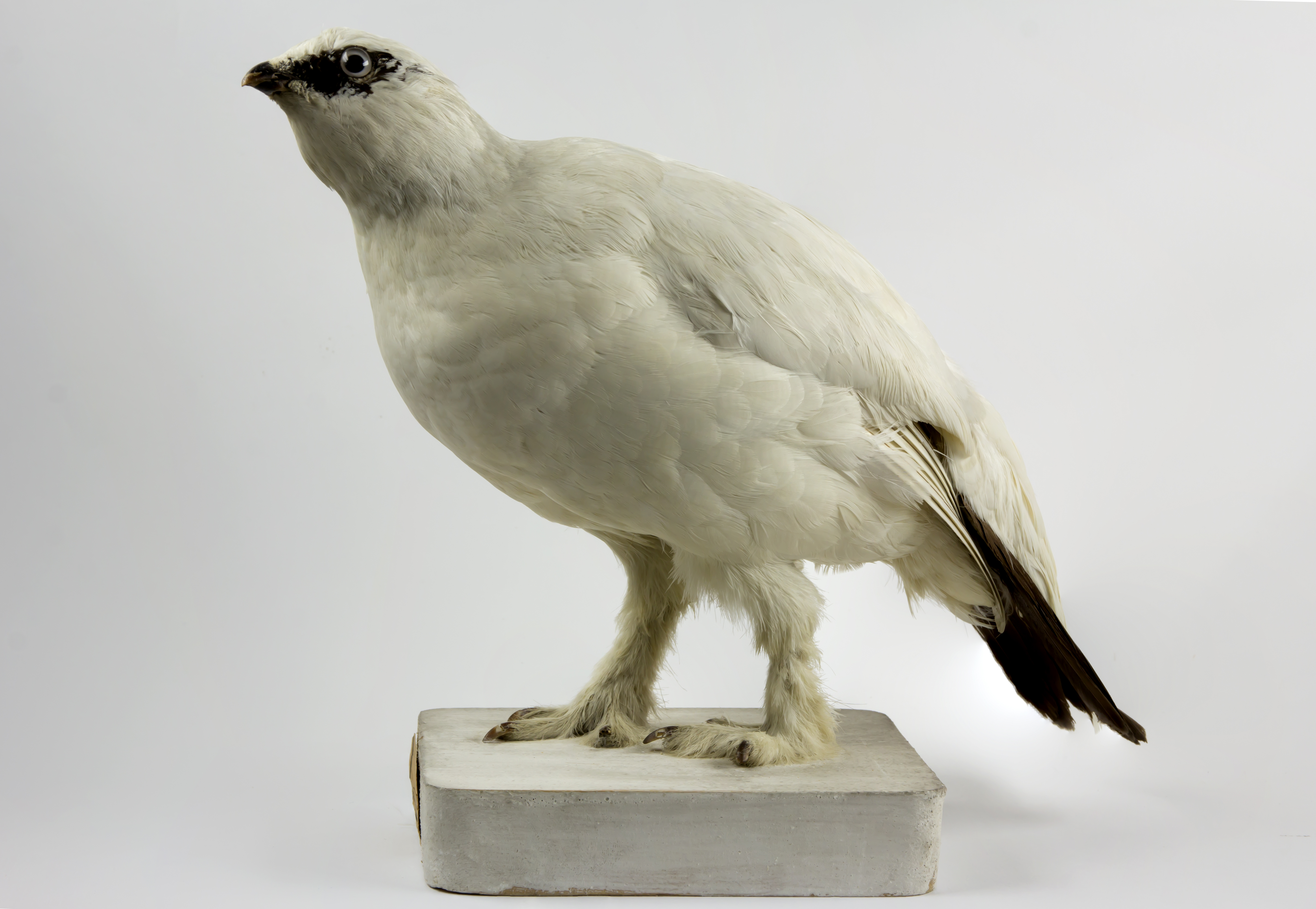
The rock ptarmigan (''Lagopus muta'') is a medium-sized game bird in the grouse family. It is known simply as the ptarmigan in Europe. It is the official bird for the Canadian territory of Nunavut, where it is known as the ''aqiggiq'' (ᐊᕿᒡᒋᖅ), and the official game bird for the province of Newfoundland and Labrador. In Japan, it is known as the ''raichō'' (雷鳥), which means "thunder bird". It is the official bird of Gifu, Nagano, and Toyama Prefectures and is a protected species nationwide. Unlike many arctic bird species, ptarmigan do not gain substantial mass to hibernate over winter. Etymology The ptarmigan's genus name, ''Lagopus'', is derived from Ancient Greek ''lagos'' (λαγώς ''lagṓs''), meaning "hare", + ''pous'' (πούς ''poús''), "foot", in reference to the bird's feathered legs. The species name, ''muta'', comes from Neo-Latin and means "mute", referring to the simple croaking song of the male. It was for a long time misspelt ''mutus'', in t ... [...More Info...] [...Related Items...] OR: [Wikipedia] [Google] [Baidu] |
Overfishing
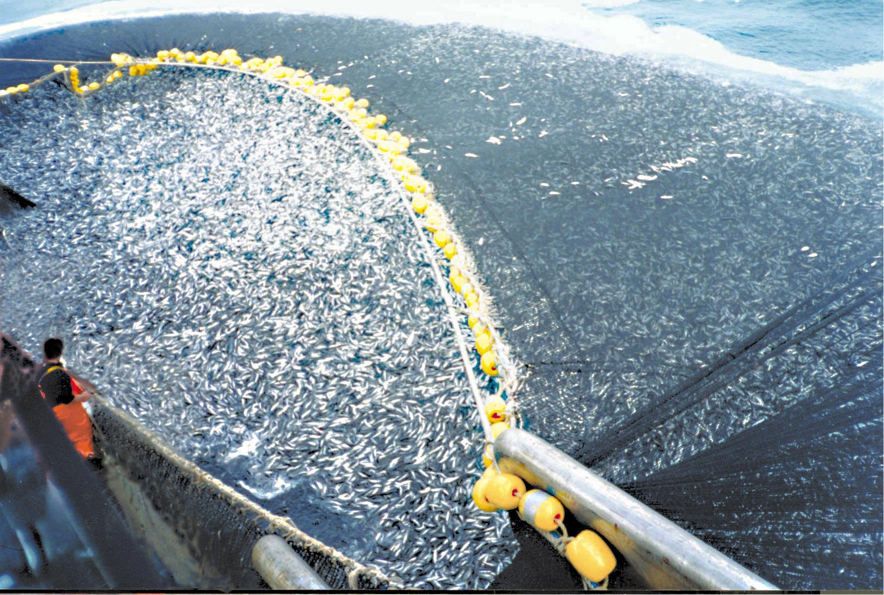
Overfishing is the removal of a species of fish (i.e. fishing) from a body of water at a rate greater than that the species can replenish its population naturally (i.e. the overexploitation of the fishery's existing Fish stocks, fish stock), resulting in the species becoming increasingly underpopulated in that area. Overfishing can occur in water bodies of any sizes, such as ponds, wetlands, rivers, lakes or oceans, and can result in resource depletion, reduced biological growth rates and low biomass (ecology), biomass levels. Sustained overfishing can lead to critical depensation, where the fish population is no longer able to sustain itself. Some forms of overfishing, such as the Threatened sharks, overfishing of sharks, has led to the upset of entire marine ecosystems. Types of overfishing include growth overfishing, recruitment overfishing, and ecosystem overfishing. Overfishing not only causes negative impacts on biodiversity and ecosystem functioning, but also reduces fish pr ... [...More Info...] [...Related Items...] OR: [Wikipedia] [Google] [Baidu] |
Iceland
Iceland is a Nordic countries, Nordic island country between the Atlantic Ocean, North Atlantic and Arctic Oceans, on the Mid-Atlantic Ridge between North America and Europe. It is culturally and politically linked with Europe and is the region's westernmost and most list of countries and dependencies by population density, sparsely populated country. Its Capital city, capital and largest city is Reykjavík, which is home to about 36% of the country's roughly 380,000 residents (excluding nearby towns/suburbs, which are separate municipalities). The official language of the country is Icelandic language, Icelandic. Iceland is on a rift between Plate tectonics, tectonic plates, and its geologic activity includes geysers and frequent Types of volcanic eruptions, volcanic eruptions. The interior consists of a volcanic plateau with sand and lava fields, mountains and glaciers, and many Glacial stream, glacial rivers flow to the sea through the Upland and lowland, lowlands. Iceland i ... [...More Info...] [...Related Items...] OR: [Wikipedia] [Google] [Baidu] |
Vestmannaeyjar
Vestmannaeyjar (, sometimes anglicized as Westman Islands) is a municipality and archipelago off the south coast of Iceland. The largest island, Heimaey, has a population of 4,414, most of whom live in the archipelago's main town, Vestmannaeyjabær. The other islands are uninhabited, although six have single hunting cabins. Vestmannaeyjar came to international attention in 1973 with the eruption of Eldfell volcano, which destroyed many buildings and forced a month-long evacuation of the entire population to mainland Iceland. Approximately one-fifth of the town was destroyed before the lava flow was halted by application of 6.8billion litres of cold sea water. Geography The Vestmannaeyjar archipelago is young in geological terms. The islands lie in the Southern Icelandic Volcanic Zone and have been formed by eruptions over the past 10,000–12,000 years. The volcanic system consists of 70–80 volcanoes both above and below the sea. Vestmannaeyjar comprises the following isla ... [...More Info...] [...Related Items...] OR: [Wikipedia] [Google] [Baidu] |


