|
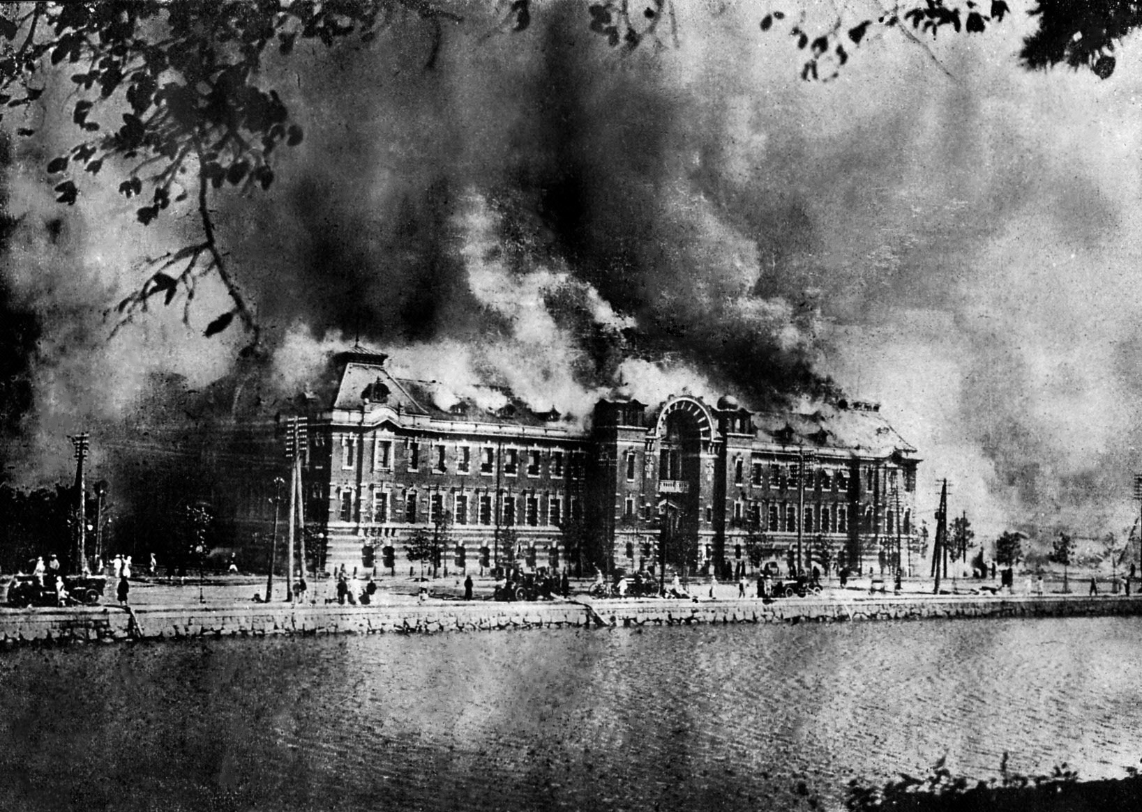
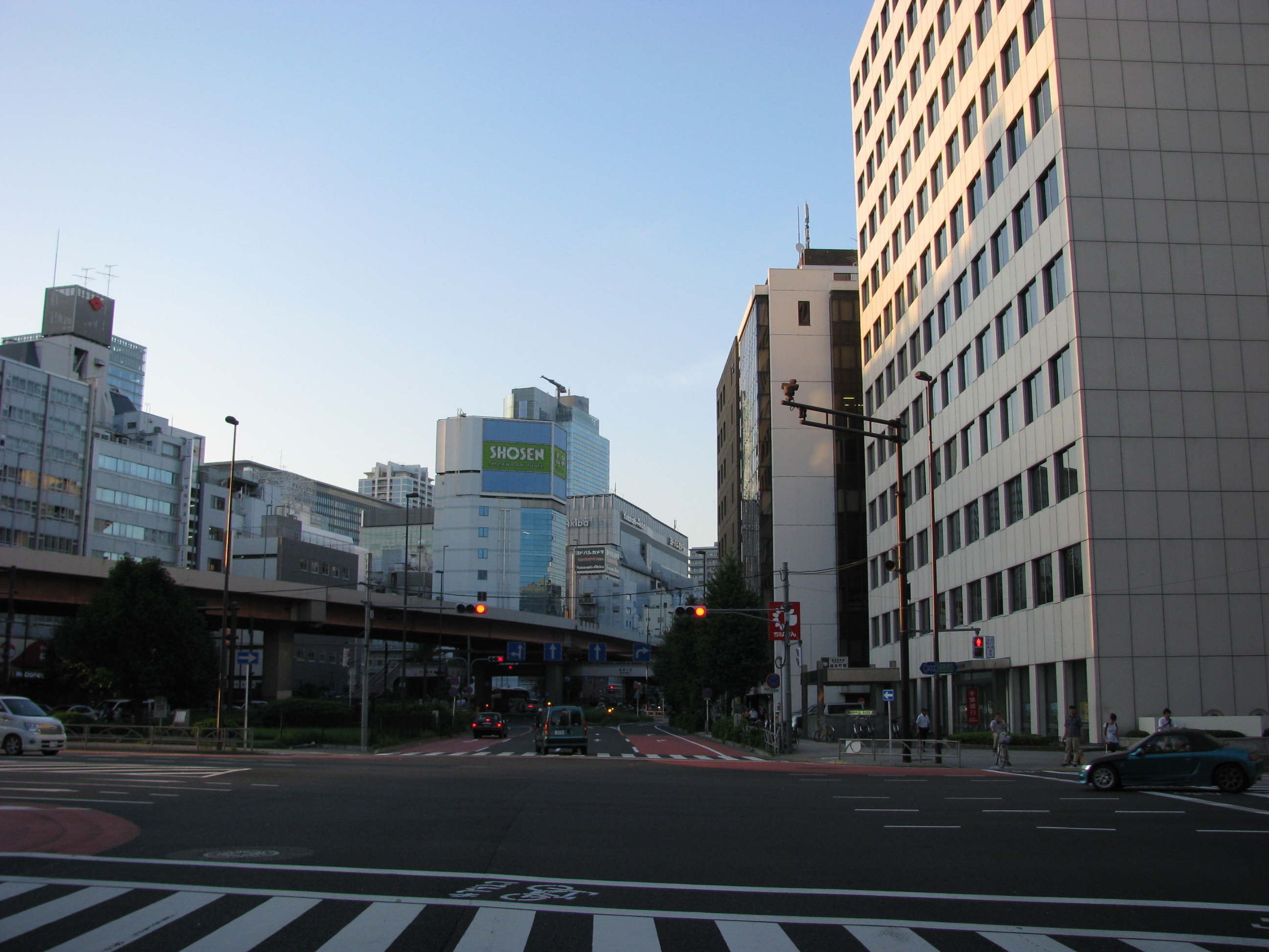
Higashikonyachō, Tokyo
, officially , is a district of Chiyoda, Tokyo, Japan Japan is an island country in East Asia. Located in the Pacific Ocean off the northeast coast of the Asia, Asian mainland, it is bordered on the west by the Sea of Japan and extends from the Sea of Okhotsk in the north to the East China Sea .... As of April 1, 2007, its population is 55. Its postal code is 101–0034. This district is located on the northeastern part of Chiyoda Ward. It borders Kanda-Higashimatsushitachō on the north, (across Shōwa-dōri Avenue) Iwamotochō on the east, Kanda-Konyachō on the south, and Kanda-Kitanorimonochō and Kanda-Konyachō on the west. It is a commercial district near the east exit of Kanda Station. Education operates public elementary and junior high schools. Chiyoda Elementary School (千代田小学校) is the zoned elementary school for Kanda-Higashikonyachō. There is a freedom of choice system for junior high schools in Chiyoda Ward, and so there are no specific ju ... [...More Info...] [...Related Items...] OR: [Wikipedia] [Google] [Baidu] |
Chiyoda, Tokyo
, known as Chiyoda City in English, ." ''City of Chiyoda''. Retrieved on December 28, 2008. is a Special wards of Tokyo, special ward of Tokyo, Japan. Located in the heart of Tokyo's 23 special wards, Chiyoda consists of Tokyo Imperial Palace, the Imperial Palace and a surrounding radius of about a kilometer (1000 yards), and is known as the political and financial center of Japan. As of October 2020, the ward has a population of 66,680, and a population density of 5,709 people per km2 (14,786 per sq. mi.), making it by far the least populated of the special wards. The residential part of Chiyoda is at the heart of Yamanote and Shitamachi, Yamanote, Tokyo's traditional upper-class residential area, with Banchō, Kōjimachi, and Kioichō, Chiyoda, Tokyo, Kioichō considered the most exclusive neighbourhoods in the entire city. ... [...More Info...] [...Related Items...] OR: [Wikipedia] [Google] [Baidu] |
Tokyo
Tokyo, officially the Tokyo Metropolis, is the capital of Japan, capital and List of cities in Japan, most populous city in Japan. With a population of over 14 million in the city proper in 2023, it is List of largest cities, one of the most populous urban areas in the world. The Greater Tokyo Area, which includes Tokyo and parts of six neighboring Prefectures of Japan, prefectures, is the most populous metropolitan area in the world, with 41 million residents . Lying at the head of Tokyo Bay, Tokyo is part of the Kantō region, on the central coast of Honshu, Japan's largest island. It is Japan's economic center and the seat of the Government of Japan, Japanese government and the Emperor of Japan. The Tokyo Metropolitan Government administers Tokyo's central Special wards of Tokyo, 23 special wards, which formerly made up Tokyo City; various commuter towns and suburbs in Western Tokyo, its western area; and two outlying island chains, the Tokyo Islands. Although most of the w ... [...More Info...] [...Related Items...] OR: [Wikipedia] [Google] [Baidu] |
Japan
Japan is an island country in East Asia. Located in the Pacific Ocean off the northeast coast of the Asia, Asian mainland, it is bordered on the west by the Sea of Japan and extends from the Sea of Okhotsk in the north to the East China Sea in the south. The Japanese archipelago consists of four major islands—Hokkaido, Honshu, Shikoku, and Kyushu—and List of islands of Japan, thousands of smaller islands, covering . Japan has a population of over 123 million as of 2025, making it the List of countries and dependencies by population, eleventh-most populous country. The capital of Japan and List of cities in Japan, its largest city is Tokyo; the Greater Tokyo Area is the List of largest cities, largest metropolitan area in the world, with more than 37 million inhabitants as of 2024. Japan is divided into 47 Prefectures of Japan, administrative prefectures and List of regions of Japan, eight traditional regions. About three-quarters of Geography of Japan, the countr ... [...More Info...] [...Related Items...] OR: [Wikipedia] [Google] [Baidu] |
Higashimatsushitachō, Tokyo
, or officially , is a district of Chiyoda, Tokyo, Japan. As of April 1, 2007, the district's population is 198. Its postal code is 101-0042. Kanda-Higashimatsushitachō is located on the northeastern part. It borders Kanda-Sudachō to the north, Iwamotochō and Kanda-Iwamotochō to the east, Kanda-Higashikonyachō to the south, Kanda-Konyachō and Kanda-Tomiyamachō to the southwest, and Kanda-Kajichō to the west. Kanda-Higashimatsushitachō is a business district Business is the practice of making one's living or making money by producing or buying and selling products (such as goods and services). It is also "any activity or enterprise entered into for profit." A business entity is not necessar ... located near the east exit of the Kanda Station. Education operates public elementary and junior high schools. Chiyoda Elementary School (千代田小学校) is the zoned elementary school for Higashimatsushitachō. There is a freedom of choice system for juni ... [...More Info...] [...Related Items...] OR: [Wikipedia] [Google] [Baidu] |
Iwamotochō
is a district of Chiyoda, Tokyo, Japan Japan is an island country in East Asia. Located in the Pacific Ocean off the northeast coast of the Asia, Asian mainland, it is bordered on the west by the Sea of Japan and extends from the Sea of Okhotsk in the north to the East China Sea .... It consists of 3 '' chōme''. This article also deals with . As of April 1, 2007, the total population of the two districts is 1,989. Iwamotochō is located on the northeastern part of Chiyoda. The area consisting of both Iwamotochō and Kanda-Iwamotochō borders Kanda-Sakumakaji and Kanda-Sakumachō to the north; Higashi-Kanda to the east; Nihonbashi-Kodenmachō and Nihonbashi-Honchō, Chūō to the south; and Kanda-Sudachō, Kanda-Higashimatsushitachō, Kanda-Higashikonyachō, Kanda-Konyachō, Kanda-Nishifukudachō and Kanda-Mikurachō to the west. Showa-Dori Avenue runs between Iwamotochō and Kanda-Iwamotochō. Iwamotochō, located east to the avenue, has already undergone modernizatio ... [...More Info...] [...Related Items...] OR: [Wikipedia] [Google] [Baidu] |
Konyachō, Chiyoda, Tokyo
, formally , is a district of Chiyoda, Tokyo, Japan Japan is an island country in East Asia. Located in the Pacific Ocean off the northeast coast of the Asia, Asian mainland, it is bordered on the west by the Sea of Japan and extends from the Sea of Okhotsk in the north to the East China Sea .... The district is made up of two non-contiguous (northern and southern) neighborhoods split by Kitanorimonochō. Originally, only the southern portion had been called Konyachō. But in 1719, the Edo government ordered a part of Konyachō's residents to move to the north of Kitanorimonochō for disaster prevention. Since then, both portions adjacent to Kitanorimonochō have been called Konyachō. Today, the district is a business district near Kanda Station. Education operates public elementary and junior high schools. Chiyoda Elementary School (千代田小学校) is the zoned elementary school for Kanda-Konyachō. There is a freedom of choice system for junior high schools in ... [...More Info...] [...Related Items...] OR: [Wikipedia] [Google] [Baidu] |
Kitanorimonochō, Tokyo
, or officially , is a Districts of Japan, district of Chiyoda, Tokyo, Chiyoda, Tokyo, Japan. As of April 1, 2007, its population is 90. Its postal code is 101-0036. This district is located in the northeast part of the Chiyoda ward. It borders Konyachō, Chiyoda, Tokyo, Kanda-Konyachō (North) to the north, Higashikonyachō, Tokyo, Kanda-Higashikonyachō and Higashimatsushitachō, Tokyo, Kanda-Higashimatsushitachō to the east, Kanda-Konyachō (South) to the south, and Kajichō, Tokyo, Kajichō to the west. Education operates public elementary and junior high schools. Chiyoda Elementary School (千代田小学校) is the zoned elementary school for Kanda-Kitanorimonochō. There is a freedom of choice system for junior high schools in Chiyoda Ward, and so there are no specific junior high school zones. References {{DEFAULTSORT:Kitanorimonocho, Tokyo Districts of Chiyoda, Tokyo ... [...More Info...] [...Related Items...] OR: [Wikipedia] [Google] [Baidu] |
Kanda Station (Tokyo)
is a railway station in Chiyoda, Tokyo, Japan. East Japan Railway Company (JR East) and Tokyo Metro operate individual portions of the station. Lines * JR East ** Keihin-Tōhoku Line ** Yamanote Line ** Chūō Line (Rapid) * Tokyo Metro ** Tokyo Metro Ginza Line Station layout Kanda consists of two separate stations that form an interchange. The elevated station is operated by JR East and the underground station is operated by the Tokyo Metro. Although they are an interchange, passengers must pass through ticket barriers and pay separate fares to switch between services. JR East station The JR East station is the older of the two stations and opened in 1919. It is situated on an elevated viaduct and has three island platforms serving six tracks.Kanda station map ''JR East'' Retrieved 19 January 2009 The platforms are number ... [...More Info...] [...Related Items...] OR: [Wikipedia] [Google] [Baidu] |


