|
Halwill
Halwill is a village and civil parish in the Torridge district, in Devon, England just off the A3079 Okehampton to Holsworthy road. About a mile away on the main road is another settlement called Halwill Junction. In 2011 the parish had a population of 930. This name brings to mind the former significance of the two villages, as home to an important railway junction, where the North Cornwall Railway (forming part of a main line railway from Exeter to Plymouth) diverged from the earlier Okehampton to Bude Line, see Halwill Junction railway station. Portions for the two routes separated and rejoined at Halwill station, giving the villages a much better service than larger habitations in the area. There is a football pitch in Halwill as well as a newsagents, Fish and Chip shop and other shops. The local football team play on the football pitch. Notable people *William Stanlake, recipient of the Victoria Cross The Victoria Cross (VC) is the highest and most prestigious de ... [...More Info...] [...Related Items...] OR: [Wikipedia] [Google] [Baidu] |
Halwill Junction Railway Station
Halwill Junction Railway Station was a railway station in Halwill Junction, near the villages of Halwill and Beaworthy in Devon, England. It opened in 1879 and formed an important junction between the now-closed Bude Branch and North Cornwall line. It closed in 1966 along with the lines which it served, a casualty of the Beeching Report. History The station was opened in January 1879 by the London and South Western Railway (LSWR) following the extension of its line from Meldon Junction on the Okehampton to Plymouth line to Holsworthy on the new Bude Branch. Five years later, it became a junction station with the construction by the North Cornwall Railway of a line south to Launceston which gave the latter company a direct through route over LSWR metals to London Waterloo. The opening of the route south led to the renaming of the station - to ''Halwill Junction'' - in March 1887. By the close of the century both lines had been extended - the Bude Branch reaching Bude by 1 ... [...More Info...] [...Related Items...] OR: [Wikipedia] [Google] [Baidu] |
North Cornwall Railway
The North Cornwall Railway (NCR) also known as the North Cornwall Line, was a standard gauge railway line running from Halwill in Devon, to Padstow in Cornwall, at a distance of via Launceston, Camelford and Wadebridge. The line was opened in late 19th century by the North Cornwall Railway Company with support throughout much of its construction and existence by the London and South Western Railway (LSWR). The railway line was part of a drive by the LSWR to expand its influence in the South West, connect its rail network with the Bodmin and Wadebridge line, and to develop both holiday and freight traffic to Cornwall. The LSWR had opened a line connecting Exeter with Holsworthy in 1879, and by encouraging the NCR it planned to create railway access to previously inaccessible parts of the northern coastal area. As part of the 1923 railway groupings, the North Cornwall line came under the full ownership of LSWR, as the LSWR itself came under the ownership of Southern Railw ... [...More Info...] [...Related Items...] OR: [Wikipedia] [Google] [Baidu] |
William Stanlake
William Stanlake (sometimes spelled Stanlack) VC DCM (31 October 1830 – 24 April 1904) was an English recipient of the Victoria Cross, the highest and most prestigious award for gallantry in the face of the enemy that can be awarded to British and Commonwealth forces. He was 23 years old, and he was a private in the Coldstream Guards of the British Army during the Crimean War when the following deed took place for which he was awarded the VC. On 26 October 1854 near Inkerman, Crimea, Private Stanlake, when employed as a sharpshooter, volunteered to reconnoitre, and although he was warned of the dangers he would encounter, crawled to within six yards of a Russian sentry and brought back such information that the officer in charge of the party was able to make a surprise attack. He is buried in Camberwell Old Cemetery in South East London. His Victoria Cross is displayed at The Guards Regimental Headquarters (Coldstream Guards RHQ), Wellington Barracks Wellington ... [...More Info...] [...Related Items...] OR: [Wikipedia] [Google] [Baidu] |
Civil Parishes In Devon
This is a list of civil parishes in the ceremonial counties of England, ceremonial county of Devon, England. There are 426 civil parishes. East Devon Exeter The former County Borough of Exeter, Exeter County Borough is unparished. Mid Devon The whole of the district is parished. North Devon The whole of the district is parished. Plymouth The former County Borough of Plymouth, Plymouth County Borough is unparished. South Hams The whole of the district is parished. Teignbridge The whole of the district is parished. Torbay Part of the former County Borough of Torbay, Torbay County Borough is unparished. *Brixham (town) 40 Torridge District, Torridge Lundy is unparished West Devon The whole of the borough is parished. Notes See also * List of civil parishes in England References External links Office for National Statistics : Geographical Area Listings {{Devon Populated places in Devon, Civil parishes Lists of civil parishes in England, Devon Civil parish ... [...More Info...] [...Related Items...] OR: [Wikipedia] [Google] [Baidu] |
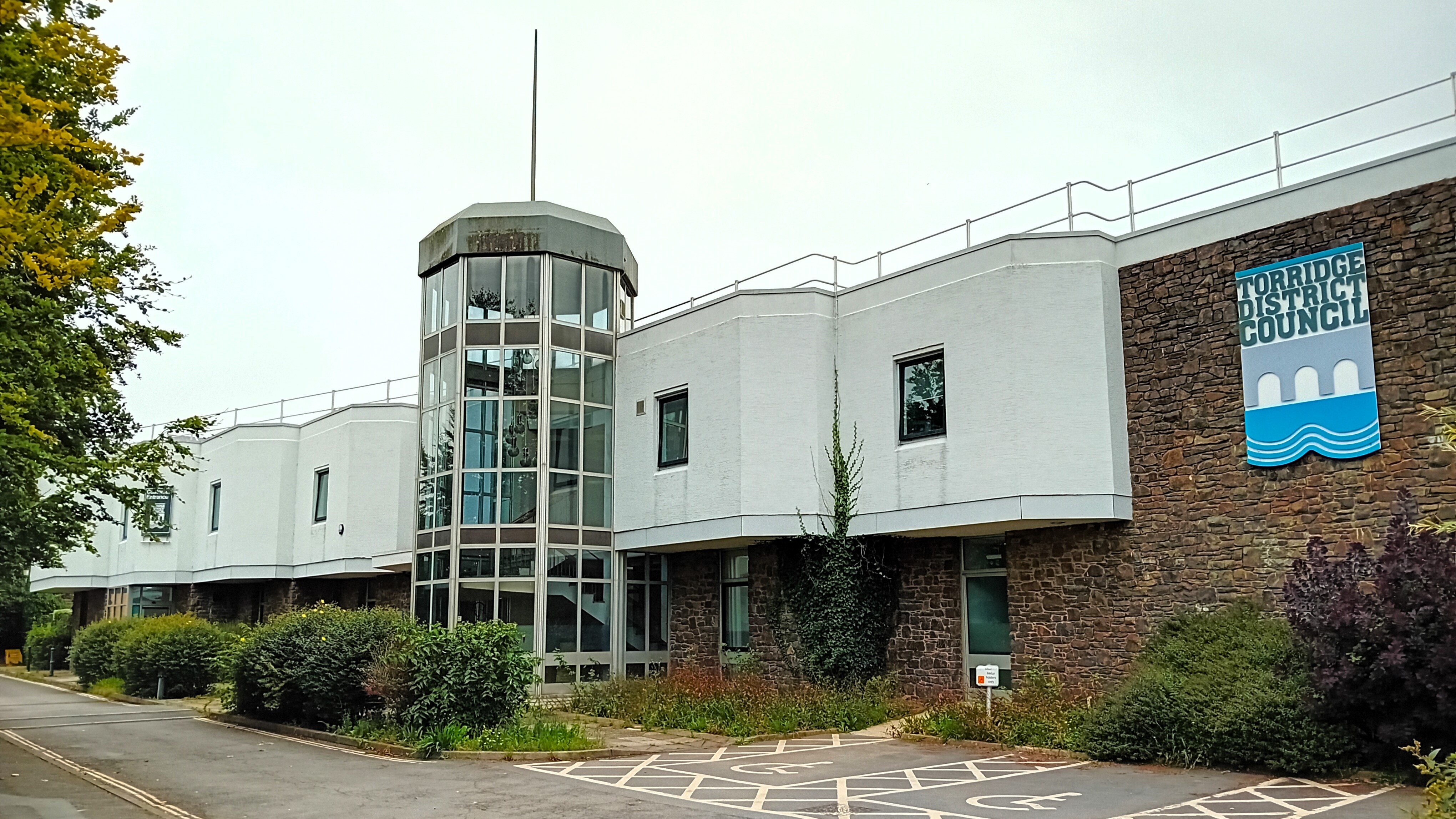
Torridge District
Torridge is a Non-metropolitan district, local government district in north-west Devon, England. Its council is based in the town of Bideford. The district also includes the towns of Great Torrington, Holsworthy, Devon, Holsworthy and Northam, Devon, Northam, along with numerous villages and surrounding rural areas. The island of Lundy forms part of the district. The district is named after the River Torridge. The district's coast is recognised for its natural beauty, forming part of the North Devon Coast, an Area of Outstanding Natural Beauty. The South West Coast Path runs through the area. The neighbouring districts are North Devon, Mid Devon, West Devon and Cornwall. History The district was formed on 1 April 1974 under the Local Government Act 1972. The new district covered the area of six former districts, which were all abolished at the same time, plus Lundy Island: *Bideford Municipal Borough *Bideford Rural District *Great Torrington Municipal Borough *Holsworthy Rur ... [...More Info...] [...Related Items...] OR: [Wikipedia] [Google] [Baidu] |
Devon
Devon ( ; historically also known as Devonshire , ) is a ceremonial county in South West England. It is bordered by the Bristol Channel to the north, Somerset and Dorset to the east, the English Channel to the south, and Cornwall to the west. The city of Plymouth is the largest settlement, and the city of Exeter is the county town. The county has an area of and a population of 1,194,166. The largest settlements after Plymouth (264,695) are the city of Exeter (130,709) and the Seaside resort, seaside resorts of Torquay and Paignton, which have a combined population of 115,410. They all are located along the south coast, which is the most populous part of the county; Barnstaple (31,275) and Tiverton, Devon, Tiverton (22,291) are the largest towns in the north and centre respectively. For local government purposes Devon comprises a non-metropolitan county, with eight districts, and the Unitary authorities of England, unitary authority areas of Plymouth City Council, Plymouth an ... [...More Info...] [...Related Items...] OR: [Wikipedia] [Google] [Baidu] |
Civil Parish
In England, a civil parish is a type of administrative parish used for local government. It is a territorial designation which is the lowest tier of local government. Civil parishes can trace their origin to the ancient system of parishes, which for centuries were the principal unit of secular and religious administration in most of England and Wales. Civil and religious parishes were formally split into two types in the 19th century and are now entirely separate. Civil parishes in their modern form came into being through the Local Government Act 1894 ( 56 & 57 Vict. c. 73), which established elected parish councils to take on the secular functions of the parish vestry. A civil parish can range in size from a sparsely populated rural area with fewer than a hundred inhabitants, to a large town with a population in excess of 100,000. This scope is similar to that of municipalities in continental Europe, such as the communes of France. However, unlike their continental Euro ... [...More Info...] [...Related Items...] OR: [Wikipedia] [Google] [Baidu] |
A3079 Road
List of A roads in zone 3 in Great Britain Great Britain is an island in the North Atlantic Ocean off the north-west coast of continental Europe, consisting of the countries England, Scotland, and Wales. With an area of , it is the largest of the British Isles, the List of European ... starting west of the A3 and south of the A4 (roads beginning with 3). Single- and double-digit roads Triple-digit roads Four-digit roads (30xx) Four-digit roads (31xx and higher) Notes and references ;Notes ;References {{UK road lists 3 3 ... [...More Info...] [...Related Items...] OR: [Wikipedia] [Google] [Baidu] |
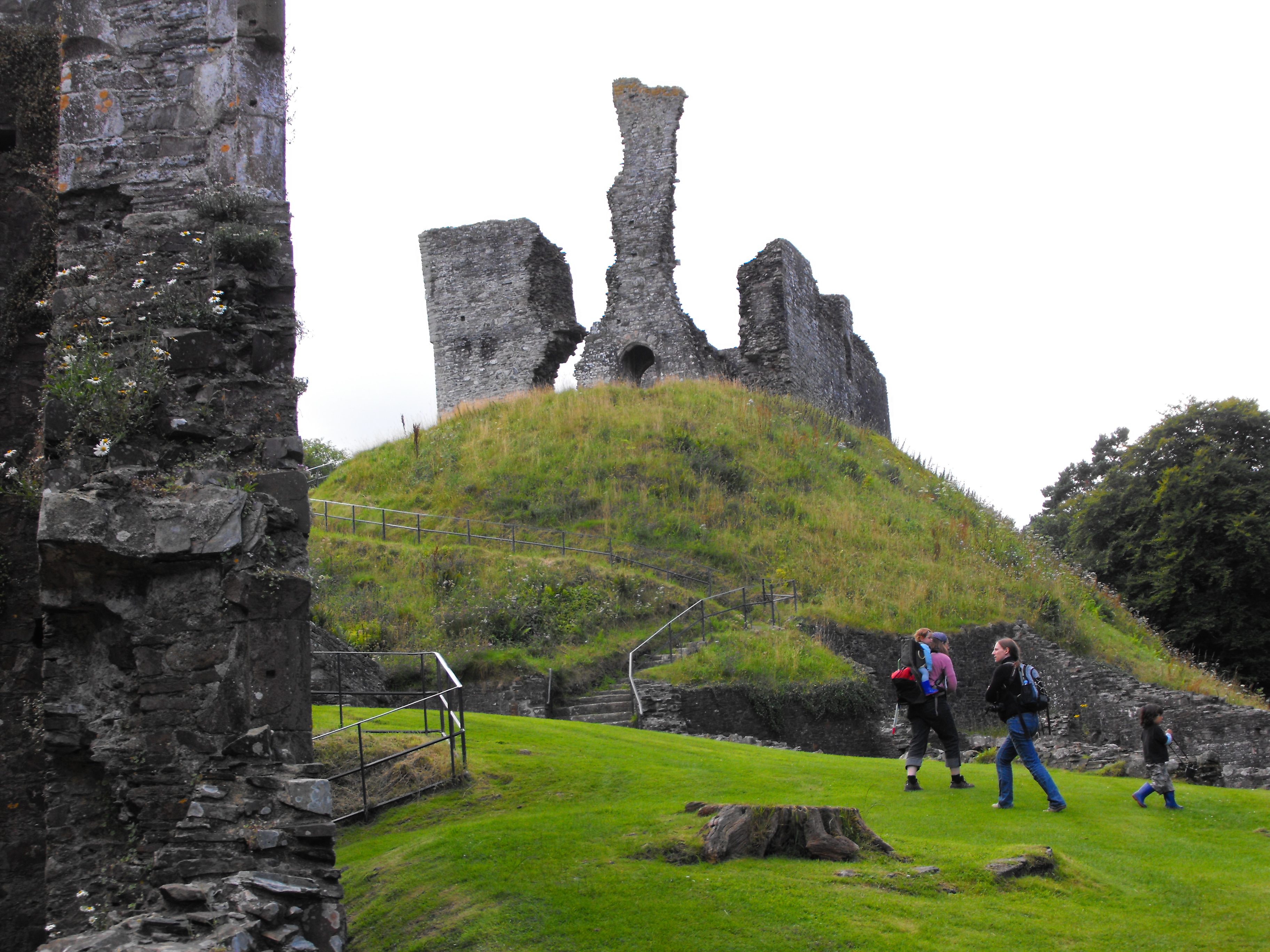
Okehampton
Okehampton ( ) is a town and civil parishes in England, civil parish in West Devon in the English county of Devon. At the 2021 census, the parish had a population of 7,313, which was slightly more than the 7,104 recorded at the 2011 census. The Okehampton built-up area had a population of 9,112 at the 2021 census, up from 7,647 in 2011. Okehampton is situated at the northern edge of Dartmoor west of Exeter, north of Plymouth and south of Barnstaple. Toponymy The name means settlement or estate (''tun'') on the River Okement. This is shown by early forms of the name, such as ''Ochementone'' as recorded in the Domesday Book of 1086, and ''Okementon(a)'' in 1167 and 1275. The name was later associated with the common suffix Hampton (place name), ''-hampton'', but as late as the 1930s the original name was remembered by the pronunciation "Okington" or "Okenton" still used by old people in the district. History Okehampton was founded by the Saxons. The earliest written record ... [...More Info...] [...Related Items...] OR: [Wikipedia] [Google] [Baidu] |
Holsworthy, Devon
Holsworthy is a market town and Civil parishes in England, civil parish in the Torridge District, Torridge district of Devon, England, west of Exeter. The River Deer, a tributary of the River Tamar, forms the western boundary of the parish, which includes the village of Brandis Corner. According to the 2011 census the population of Holsworthy was 2,641, growing to an estimated 3,287 in 2019. History Toponymy The original meaning of "Holsworthy" is probably "Heald's enclosure". Derived from the Old English personal name "Heald" or "Healda", plus "-worthig", an enclosure, farm or estate. An alternative possibility is from Old English "heald" meaning incline or slope. In 1086 the name was recorded as ''Haldeword'' and as ''Haldeurdi'' (Exon). Other recorded spellings are ''Haldwwurth'' 1228, ''Halleswrthia'' -worth(e) -wordi (late 12th–1291), ''Haldeswrthy'' -wrthi -worth (1277–1389), ''Holdesworthe'' (1308), ''Healdesworthe'' ( 1320), ''Hyallesworthi'' (1326), and ''Houlswor ... [...More Info...] [...Related Items...] OR: [Wikipedia] [Google] [Baidu] |
Okehampton To Bude Line
Okehampton ( ) is a town and civil parish in West Devon in the English county of Devon. At the 2021 census, the parish had a population of 7,313, which was slightly more than the 7,104 recorded at the 2011 census. The Okehampton built-up area had a population of 9,112 at the 2021 census, up from 7,647 in 2011. Okehampton is situated at the northern edge of Dartmoor west of Exeter, north of Plymouth and south of Barnstaple. Toponymy The name means settlement or estate (''tun'') on the River Okement. This is shown by early forms of the name, such as ''Ochementone'' as recorded in the Domesday Book of 1086, and ''Okementon(a)'' in 1167 and 1275. The name was later associated with the common suffix ''-hampton'', but as late as the 1930s the original name was remembered by the pronunciation "Okington" or "Okenton" still used by old people in the district. History Okehampton was founded by the Saxons. The earliest written record of the settlement is from 980 AD as , meaning se ... [...More Info...] [...Related Items...] OR: [Wikipedia] [Google] [Baidu] |


