|
Geyser Pass
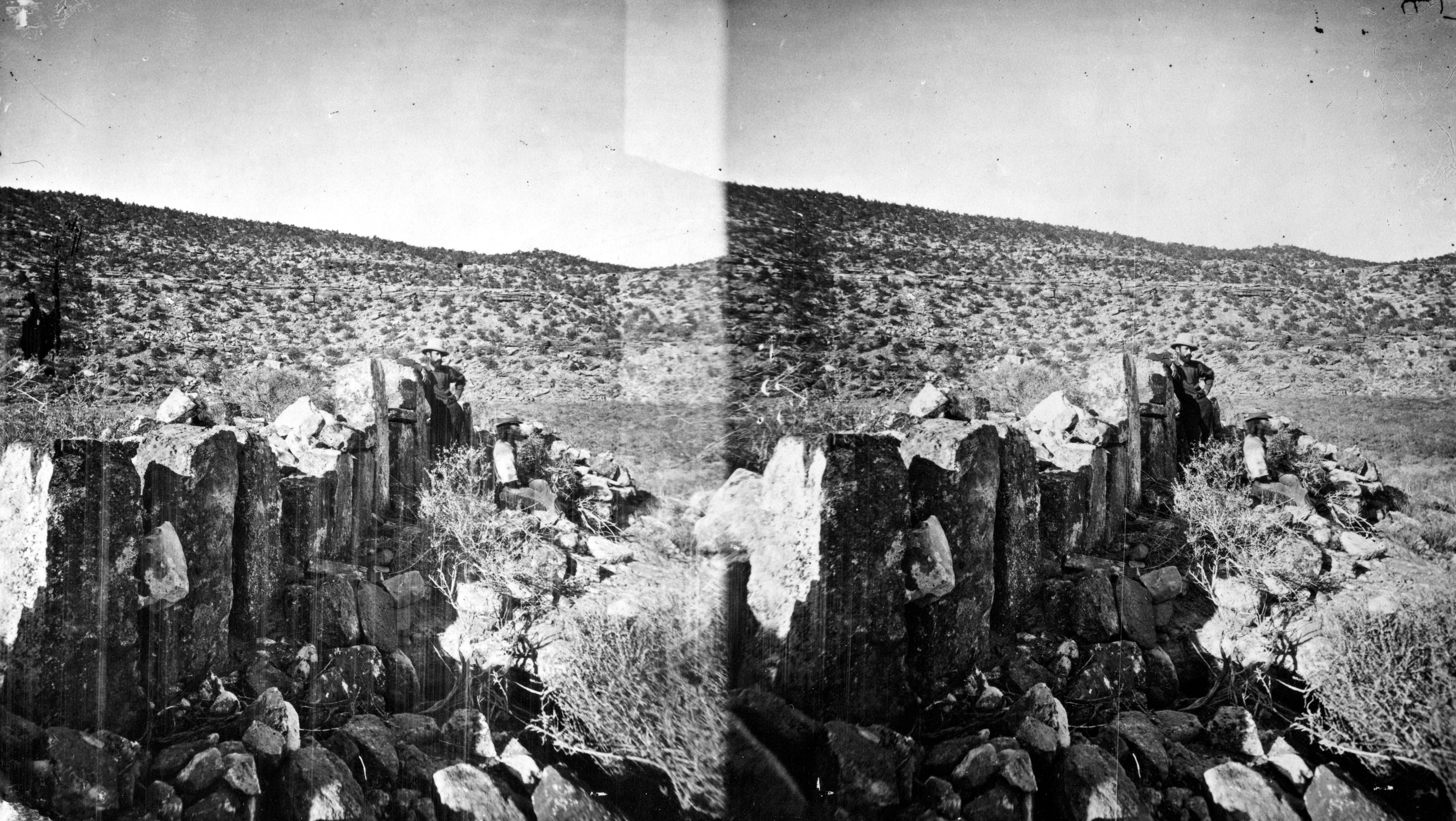
Geyser Pass is a mountain pass in the La Sal Range of Utah. The pass is not named after a geyser, but for cattleman Al Geyser, who grazed his stock in the area in the 1880s. See also * List of mountain passes References Mountain passes of Utah Landforms of San Juan County, Utah Manti-La Sal National Forest {{Utah-geo-stub ... [...More Info...] [...Related Items...] OR: [Wikipedia] [Google] [Baidu] |
San Juan County, Utah
San Juan County ( ) is a County (United States), county in the southeastern portion of the U.S. state of Utah. As of the 2010 United States Census, the population was 14,746. Its county seat is Monticello, Utah, Monticello, while its most populous city is Blanding, Utah, Blanding. The Utah State Legislature named the county for the San Juan River (Colorado River), San Juan River, itself named by Spain, Spanish List of explorers, explorers (in honor of John the Apostle, Saint John). San Juan County borders Arizona, Colorado, and New Mexico at the Four Corners. History The Utah Territory authorized creation of San Juan County on February 17, 1880, with territories annexed from Iron County, Utah, Iron, Kane County, Utah, Kane, and Piute County, Piute counties. There has been no change in its boundaries since its creation. Monticello was founded in 1887, and by 1895 it was large enough to be designated the seat of San Juan County. Geography San Juan County lies in the southeaster ... [...More Info...] [...Related Items...] OR: [Wikipedia] [Google] [Baidu] |
La Sal Range
The La Sal Mountains or La Sal Range are a mountain range located in Grand and San Juan counties in the U.S. state of Utah, along the border with Colorado. The range rises above and southeast of Moab and north of the town of La Sal. This range is part of the Manti-La Sal National Forest and the southern Rocky Mountains. The maximum elevation is at Mount Peale, reaching above sea level. The range contains three clusters of peaks separated by passes. The peaks span a distance of about . The name of the range dates to Spanish times, when the Sierra La Sal (meaning the "Salt Mountains") was a prominent landmark on the Old Spanish Trail between Santa Fe and Los Angeles. Geology The range formed due to intrusion of igneous rocks and subsequent erosion of the surrounding less-resistant sedimentary rocks. The most abundant igneous rocks are porphyritic, with phenocrysts of hornblende and plagioclase: these rocks are called diorite in some accounts but trachyte in at least one othe ... [...More Info...] [...Related Items...] OR: [Wikipedia] [Google] [Baidu] |
Mountain Pass
A mountain pass is a navigable route through a mountain range or over a ridge. Since many of the world's mountain ranges have presented formidable barriers to travel, passes have played a key role in trade, war, and both Human migration, human and animal migration throughout history. At lower elevations it may be called a hill pass. A mountain pass is typically formed between two volcanic peaks or created by erosion from water or wind. Overview Mountain passes make use of a gap (landform), gap, saddle (landform), saddle, col or notch (landform), notch. A topographic saddle is analogous to the mathematical concept of a saddle surface, with a saddle point marking the highest point between two valleys and the lowest point along a ridge. On a topographic map, passes are characterized by contour lines with an hourglass shape, which indicates a low spot between two higher points. In the high mountains, a difference of between the summit and the mountain is defined as a mountain pas ... [...More Info...] [...Related Items...] OR: [Wikipedia] [Google] [Baidu] |
Utah
Utah ( , ) is a state in the Mountain West subregion of the Western United States. Utah is a landlocked U.S. state bordered to its east by Colorado, to its northeast by Wyoming, to its north by Idaho, to its south by Arizona, and to its west by Nevada. Utah also touches a corner of New Mexico in the southeast. Of the fifty U.S. states, Utah is the 13th-largest by area; with a population over three million, it is the 30th-most-populous and 11th-least-densely populated. Urban development is mostly concentrated in two areas: the Wasatch Front in the north-central part of the state, which is home to roughly two-thirds of the population and includes the capital city, Salt Lake City; and Washington County in the southwest, with more than 180,000 residents. Most of the western half of Utah lies in the Great Basin. Utah has been inhabited for thousands of years by various indigenous groups such as the ancient Puebloans, Navajo and Ute. The Spanish were the first Europe ... [...More Info...] [...Related Items...] OR: [Wikipedia] [Google] [Baidu] |
Geyser
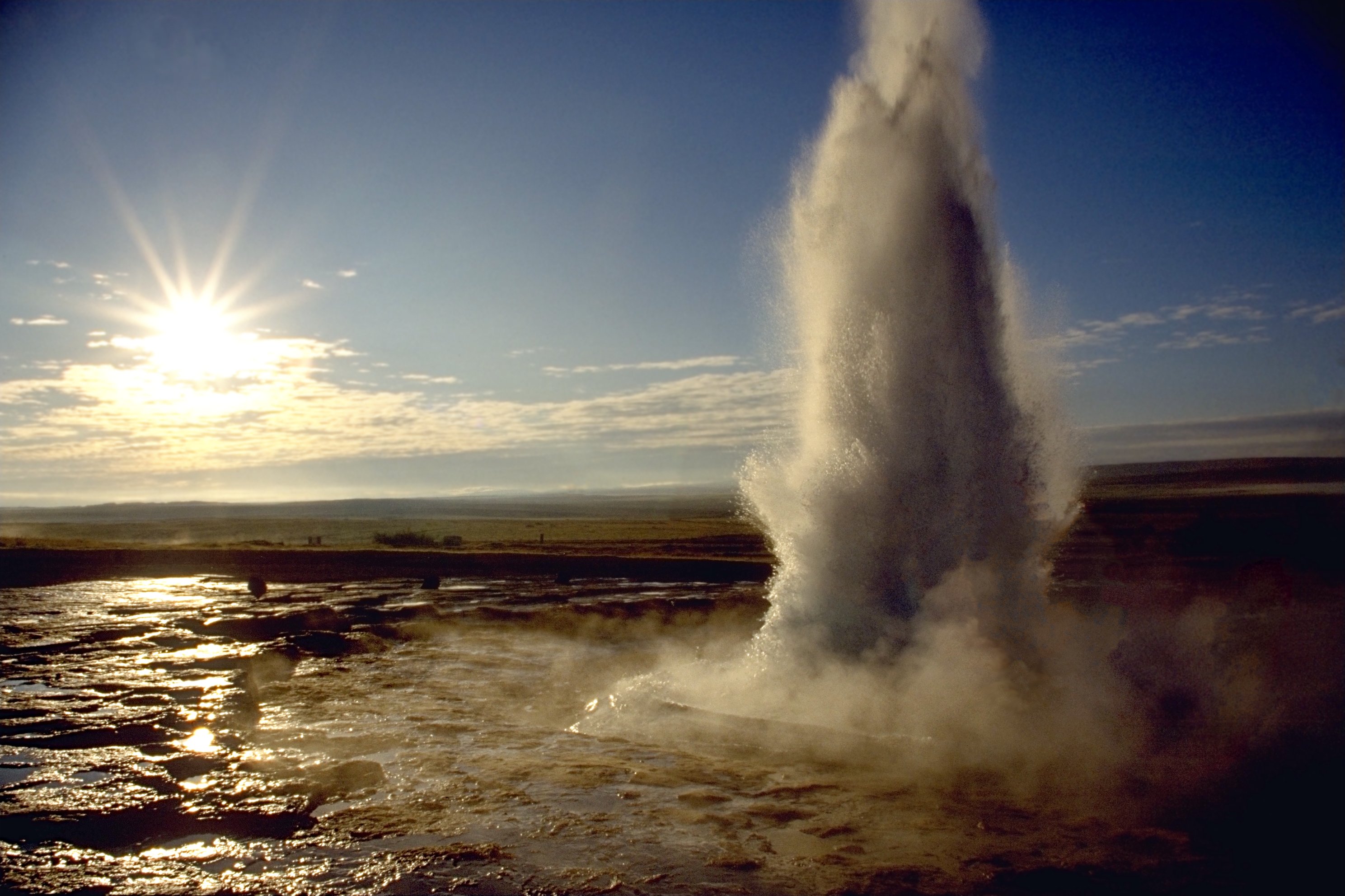
A geyser (, ) is a spring characterized by an intermittent discharge of water ejected turbulently and accompanied by steam. As a fairly rare phenomenon, the formation of geysers is due to particular hydrogeological conditions that exist only in a few places on Earth. Generally all geyser field sites are located near active volcanic areas, and the geyser effect is due to the proximity of magma. Generally, surface water works its way down to an average depth of around where it contacts hot rocks. The resultant boiling of the pressurized water results in the geyser effect of hot water and steam spraying out of the geyser's surface vent (a hydrothermal explosion). A geyser's eruptive activity may change or cease due to ongoing mineral deposition within the geyser plumbing, exchange of functions with nearby hot springs, earthquake influences, and human intervention. Like many other natural phenomena, geysers are not unique to Earth. Jet-like eruptions, often referred to as cryoge ... [...More Info...] [...Related Items...] OR: [Wikipedia] [Google] [Baidu] |
List Of Mountain Passes
This is a list of mountain passes. Africa Egypt * Halfaya Pass (near Libya) Lesotho * Moteng Pass * Mahlasela pass * Sani Pass Morocco * Tizi n'Tichka South Africa * Eastern Cape Passes * Western Cape Passes * Northern Cape Passes * KwaZulu Natal Passes * Free State Passes * Limpopo Province Passes * Mpumalanga Passes * Gauteng Passes * Northwest Province Passes * Swartberg Pass (Western Cape) * Lootsberg Pass Asia Afghanistan * Broghol Pass to Pakistan * Dorah Pass to Pakistan * Hajigak Pass * Khost-Gardez Pass * Khyber Pass to Pakistan * Kotal-e Khushk * Kushan Pass linking northern Afghanistan to the region. * Lataband Pass * Tang-e Gharu is a gorge which links Afghanistan with Pakistan * Salang Pass crosses the Hindu Kush linking Kabul with northern Afghanistan - nowadays through a tunnel. * Wakhjir Pass to China China * Pingxingguan Pass, Shanxi * Jiayu Pass, Beijing * Jianmen Pass, Sichuan * Niangzi Pass, Border between Shanxi and Hebei * Yanmen Pass, Shan ... [...More Info...] [...Related Items...] OR: [Wikipedia] [Google] [Baidu] |
Mountain Passes Of Utah
A mountain is an elevated portion of the Earth's crust, generally with steep sides that show significant exposed bedrock. Although definitions vary, a mountain may differ from a plateau in having a limited summit area, and is usually higher than a hill, typically rising at least 300 metres (1,000 feet) above the surrounding land. A few mountains are isolated summits, but most occur in mountain ranges. Mountains are formed through tectonic forces, erosion, or volcanism, which act on time scales of up to tens of millions of years. Once mountain building ceases, mountains are slowly leveled through the action of weathering, through slumping and other forms of mass wasting, as well as through erosion by rivers and glaciers. High elevations on mountains produce colder climates than at sea level at similar latitude. These colder climates strongly affect the ecosystems of mountains: different elevations have different plants and animals. Because of the less hospitable terrain and ... [...More Info...] [...Related Items...] OR: [Wikipedia] [Google] [Baidu] |
Landforms Of San Juan County, Utah
A landform is a natural or anthropogenic land feature on the solid surface of the Earth or other planetary body. Landforms together make up a given terrain, and their arrangement in the landscape is known as topography. Landforms include hills, mountains, canyons, and valleys, as well as shoreline features such as bays, peninsulas, and seas, including submerged features such as mid-ocean ridges, volcanoes, and the great ocean basins. Physical characteristics Landforms are categorized by characteristic physical attributes such as elevation, slope, orientation, Stratum, stratification, rock exposure and soil type. Gross physical features or landforms include intuitive elements such as berms, mounds, hills, ridges, cliffs, valleys, rivers, peninsulas, volcanoes, and numerous other structural and size-scaled (e.g. ponds vs. lakes, hill A hill is a landform that extends above the surrounding terrain. It often has a distinct Summit (topography), summit. Terminology The distinct ... [...More Info...] [...Related Items...] OR: [Wikipedia] [Google] [Baidu] |


.jpg)