|
Gerrards Cross
Gerrards Cross is a town and civil parish in Buckinghamshire, England. It lies immediately south of Chalfont St Peter and a short distance west of the London Borough of Hillingdon, from which it is separated by the parish of Denham, Buckinghamshire, Denham. Other neighbouring villages include Fulmer, Hedgerley, Iver Heath and Stoke Poges. It is west-north-west of central London. The town stands on the lower slopes of the Chiltern Hills, and the River Misbourne flows through the parish, north-east of the town. Bulstrode Park Camp was an Iron Age fortified encampment. The town is close to the M25 motorway and the M40 motorway, the latter running beside woodland on the town's southern boundary. History The site of a minor Iron Age hillfort, Bulstrode Park Camp, is to the south-west of the town centre. It is a scheduled monument, scheduled ancient monument. The area which is now Gerrards Cross was historically an area of wasteland known as Chalfont Heath, which later became known ... [...More Info...] [...Related Items...] OR: [Wikipedia] [Google] [Baidu] |
Buckinghamshire Council
Buckinghamshire Council is the Local Government in England, local authority for the Buckinghamshire (district), Buckinghamshire district in England. It is a Unitary authorities of England, unitary authority, performing both county and district-level functions. It was created on 1 April 2020, replacing the previous Buckinghamshire County Council and the councils of the four abolished non-metropolitan district, districts of Aylesbury Vale, Chiltern District, Chiltern, South Bucks, and Wycombe District, Wycombe. The district, which is also legally a non-metropolitan county, covers about four-fifths of the area and has about two-thirds of the population of the wider ceremonial county of Buckinghamshire, which also includes the City of Milton Keynes. The county council had been established in 1889. The county was reformed in 1974, when it ceded Slough, Eton, Berkshire, Eton and nearby villages to Berkshire. In 1997, the Borough of Milton Keynes was detached to become a non-metropolit ... [...More Info...] [...Related Items...] OR: [Wikipedia] [Google] [Baidu] |
Hillfort
A hillfort is a type of fortification, fortified refuge or defended settlement located to exploit a rise in elevation for defensive advantage. They are typical of the late Bronze Age Europe, European Bronze Age and Iron Age Europe, Iron Age. Some were used in the post-Roman Empire, Roman period. The fortification usually follows the contours of a hill and consists of one or more lines of Earthworks (Archaeology), earthworks or stone Rampart (fortification), ramparts, with stockades or defensive walls, and external ditches. If enemies were approaching, the inhabitants would spot them from a distance. Prehistoric Europe saw a growing population. It has been estimated that in about 5000 BC during the Neolithic between 2 million and 5 million lived in Europe; in the Late Iron Age it had an estimated population of around 15 to 30 million. Outside Greece and Italy, which were more densely populated, the vast majority of settlements in the Iron Age were small, with ... [...More Info...] [...Related Items...] OR: [Wikipedia] [Google] [Baidu] |
Great Western And Great Central Joint Railway
The Great Western and Great Central Joint Railway was a railway built and operated jointly by the Great Western Railway (GWR) and Great Central Railway (GCR) between Northolt (in north west London) and Ashendon Junction (west of Aylesbury). It was laid out as a trunk route with gentle curves and gradients and spacious track layouts. The two companies each needed approach railways at both ends of the line to connect their respective systems; these were built as part of a single project. The joint line opened in 1905 and gave the GCR a better route than previously for its London Extension from Nottingham and Leicester. When the GWR completed its "Bicester Cut-off", combined with the Joint Line itself the GWR had a much shorter and better route for its Birmingham and Birkenhead traffic. Most of the GCR's London Extension was closed in 1966 but the Joint Line, the GCR approach through Wembley and the GWR Bicester Cut-off are still in use as a secondary main line from London to Birming ... [...More Info...] [...Related Items...] OR: [Wikipedia] [Google] [Baidu] |
Gerrards Cross Railway Station
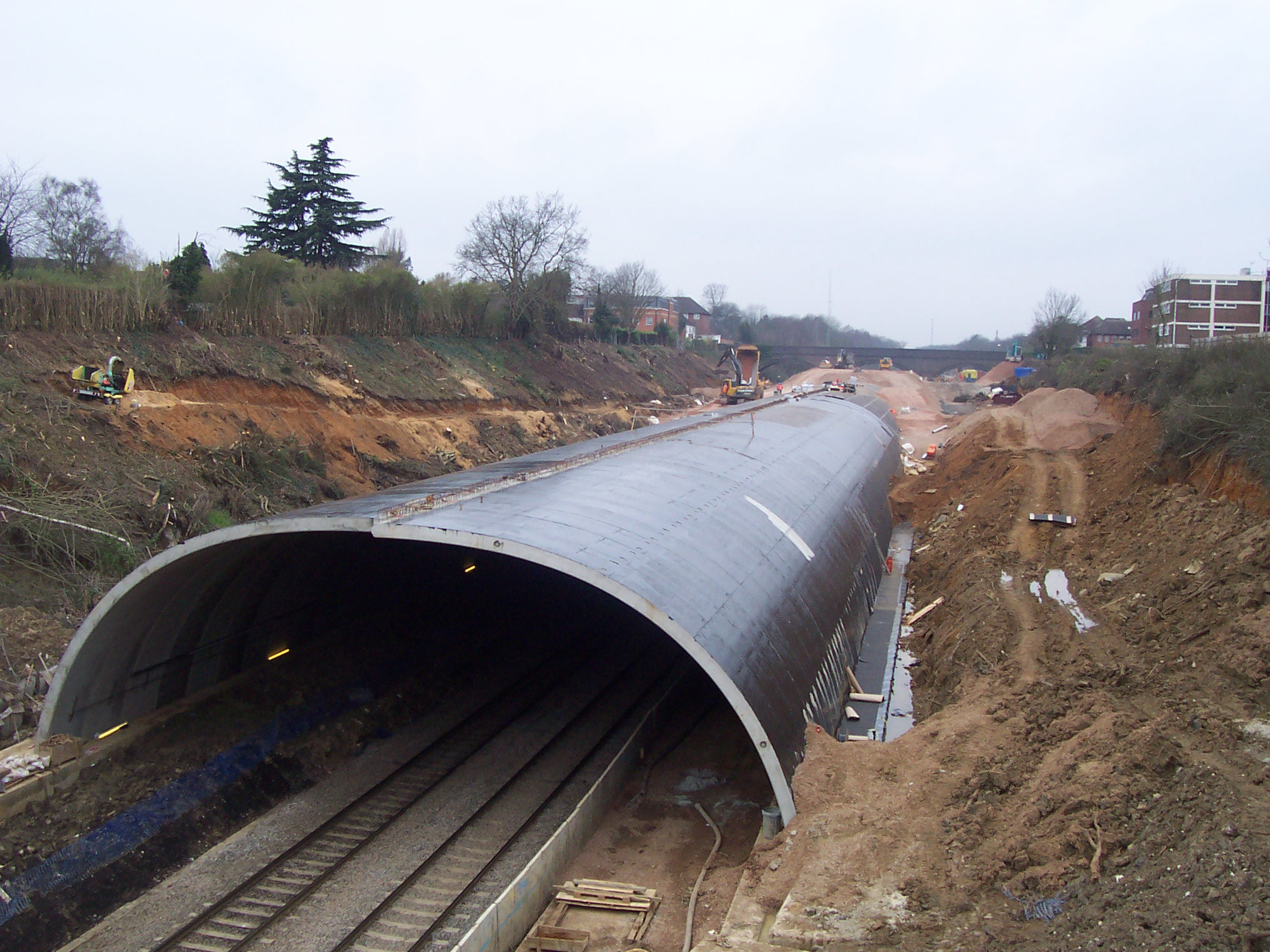
Gerrards Cross railway station is a railway station in the town of Gerrards Cross in Buckinghamshire, England. It is on the Chiltern Main Line between and . History The station was built as part of the Great Western and Great Central Joint Railway and was opened on 2 April 1906 as Gerrards Cross for the Chalfonts. It is in a deep cutting that was dug for the line to maintain a very shallow maximum gradient, to allow for fast running with steam-hauled trains. The line opened after the Chalfont Viaduct was built further up the line to traverse the River Misbourne. The original station layout was four-track, with two through roads and two platform roads. The two through roads were disused from 1985 and were completely removed by October 1989. This enabled the Up platform to be extended out and built over what used to be the Up through and platform roads, with the original Up line slewed to the Down through road. There was a small goods yard north of the line. This has now been ... [...More Info...] [...Related Items...] OR: [Wikipedia] [Google] [Baidu] |
Upton-cum-Chalvey
Upton is a suburb of Slough, in the Slough district, in the ceremonial county of Berkshire, England. Until the local government reforms of 1974 it was in Buckinghamshire. It was one of the villages that developed into the town. History The Domesday Book survey of 1086 refers to Upton and a wood for 200 pigs, worth £15. Upton took its name from its situation at the top of the slope from the river terrace — the various levels in the area having been formed in the Last Ice Age. The ancient parish, and the civil parish until 1894, included Chalvey and Slough, originally hamlets, and was formally known as Upton-cum-Chalvey. In 1894, the new civil parish of Slough was formed from the parish. In 1895 a detached part of the parish was transferred to Gerrards Cross, and in 1900 and 1901 the rump of the parish was divided between the neighbouring parishes of Eton, Langley, Slough and Wexham. The ecclesiastical parish is still known as Upton-cum-Chalvey. Church Upton's Norman ... [...More Info...] [...Related Items...] OR: [Wikipedia] [Google] [Baidu] |
Langley Marish
Langley may refer to: People * Langley (surname), a common English surname, including a list of notable people with the name * Dawn Langley Simmons (1922–2000), English author and biographer * Langley Wakeman Collyer (1885–1947), one of the Collyer brothers * Langley Fox (born 1989), American illustrator and model * Lang Hancock (1909–1992) Australian iron ore magnate * Langley Kirkwood (born 1973), South African actor and triathlete * Langley Frank Willard Smith (1897–1917) Canadian flying ace Places Australia * Langley, Victoria Canada *Langley, British Columbia (district municipality), or Township of Langley, a district municipality in the Lower Mainland of British Columbia **Fort Langley, a community in the Township of Langley, historically referred to simply as "Langley" *Langley, British Columbia (city), or City of Langley, is a separately incorporated urban municipality encompassed by the Township of Langley *Langley (federal electoral district), ... [...More Info...] [...Related Items...] OR: [Wikipedia] [Google] [Baidu] |
Iver
Iver is a civil parishes in England, civil parish in Buckinghamshire, England. In addition to the central nucleated village, clustered village, the parish includes the residential neighbourhoods of Iver Heath and Richings Park and the hamlets of Shreding Green and Thorney. Geography, transport and economy Part of the 43-square-mile Colne Valley regional park, with woods, lakes and land by the Grand Union Canal. Most of the open land is classified as Metropolitan Green Belt. Surrounding the Ivers are neighbouring villages and towns of Fulmer, Denham, Buckinghamshire, Denham, Gerrards Cross and Wexham. Also nearby are Colnbrook, Langley, Berkshire, Langley, Uxbridge, Cowley, London, Cowley, Yiewsley and West Drayton. The Ivers have public transport and motorway links. The M25 motorway passes east of the main village, west of Iver Heath and east of Richings Park, but cannot be accessed directly from the Ivers. Instead, road links are provided to junction 5 of the M4 motorway for ... [...More Info...] [...Related Items...] OR: [Wikipedia] [Google] [Baidu] |
Ecclesiastical Parish
A parish is a territorial entity in many Christianity, Christian denominations, constituting a division within a diocese. A parish is under the pastoral care and clerical jurisdiction of a priest#Christianity, priest, often termed a parish priest, who might be assisted by one or more curates, and who operates from a parish church. Historically, a parish often covered the same geographical area as a Manorialism, manor. Its association with the parish church remains paramount. By extension the term ''parish'' refers not only to the territorial entity but to the people of its community or congregation as well as to church property within it. In England this church property was technically in ownership of the parish priest ''Ex officio member, ex officio'', vested in him on his institution to that parish. Etymology and use First attested in English in the late 13th century, the word ''parish'' comes from the Old French , in turn from , the Romanization of Greek, Romanisation of ... [...More Info...] [...Related Items...] OR: [Wikipedia] [Google] [Baidu] |
Chapel Of Ease
A chapel of ease (or chapel-of-ease) is a church architecture, church building other than the parish church, built within the bounds of a parish for the attendance of those who cannot reach the parish church conveniently, generally due to travel distance. Often a chapel of ease is deliberately built as such, being more accessible to some parishioners than the main church. Such a chapel may exist, for example, when a parish covers several dispersed villages, or a central village together with its satellite hamlet (place), hamlet or hamlets. In such a case the parish church will be in the main settlement, with one or more chapels of ease in the subordinate village(s) and/or hamlet(s). An example is the chapel belonging to All_Hallows_Church,_South_River, All Hallows' Parish in Maryland, United States. The chapel was built in Davidsonville, Maryland, Davidsonville from 1860 to 1865 because the parish's "Brick Church" in South River was distance which took an hour to walk each way ... [...More Info...] [...Related Items...] OR: [Wikipedia] [Google] [Baidu] |
St James Church, Gerrards Cross
St James is an evangelical Church of England parish church in Gerrards Cross, Buckinghamshire. The Parish of St. James, within the Deanery of Amersham in the Diocese of Oxford, is the result of the amalgamation of St James Gerrards Cross and St James Fulmer, which began sharing a single parochial church council in 1984 and were formally merged in 1986. The current rector is The Rev. Matt Beeby. One of the previous incumbents, Paul Gavin Williams, is currently the Bishop of Southwell and Nottingham. The church is listed Grade II* on the National Heritage List for England. Services and activities Regular services are conducted at St James Gerrards Cross each Sunday at 10:00 a.m. and 5:30 p.m. There are children's and youth activities alongside all services, and youth activities after the evening service. There are regular services at St James Fulmer each Sunday at 11:15am. Talks and sermons from most Sunday services can be downloaded through the St James podcast ... [...More Info...] [...Related Items...] OR: [Wikipedia] [Google] [Baidu] |
Bulstrode Park
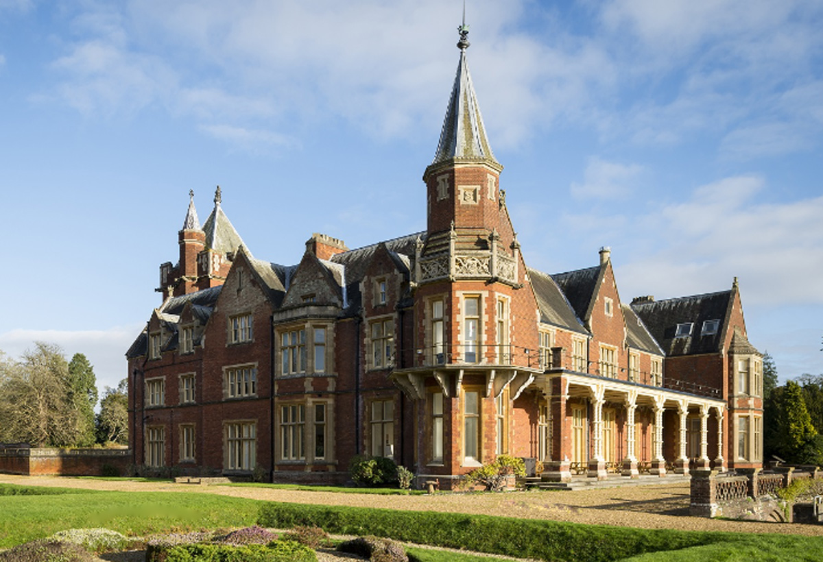
Bulstrode is an English country house and its large park, located to the southwest of Gerrards Cross, Buckinghamshire. The estate spreads across Chalfont St Peter, Gerrards Cross and Fulmer, and predates the Norman conquest. Its name may originate from the Anglo-Saxon words ''burh'' (marsh) and ''stród'' (fort). The park and garden are designated a Grade II* listed building. First house The original house was built for the infamous Judge Jeffreys in 1686. It was sold to Hans William Bentinck, 1st Earl of Portland, who made it one of his principal residences and died there in 1709. In the 1740s, the architect and builder Stiff Leadbetter altered the house significantly for the 2nd Duke of Portland. The 3rd Duke commissioned further re-modellings and additions, including the castellated West Wing, to the designs of James Wyatt, between 1806 and 1809. Margaret Bentinck, the wife of the 2nd Duke used the house to accommodate her natural history and antiquities collection, wi ... [...More Info...] [...Related Items...] OR: [Wikipedia] [Google] [Baidu] |


