|
Gatton, Surrey
Gatton is a former village in the Borough of Reigate and Banstead, Surrey, England. It survives as a sparsely populated, predominantly rural locality, which includes Gatton Park, no more than 12 houses, and two farms on the slopes of the North Downs near Reigate. The parish lay within Reigate hundred. It is a former rotten borough and a former civil parish. In 1951 the parish had a population of 628. Toponymy Early forms of Gatton's name include ''Gatatune'' (recorded between 871 and 889) and ''Gatetuna'' (in 1121). The name is thought to mean "goat-farm". This may indicate either that the township had a specialised function (goat-farming) within the economy of a much larger Anglo-Saxon estate; or that it was required to make a specialised tribute obligation, in the form of goats, to its overlord. History Gatton appears in the Domesday Book of 1086 as ''Gatone''. It was held by Herfrid from the Bishop of Bayeux. Its Domesday assets were: 2½ hides; 5 ploughlands; a chu ... [...More Info...] [...Related Items...] OR: [Wikipedia] [Google] [Baidu] |
Reigate And Banstead
Reigate and Banstead is a local government district with borough status in Surrey, England. Its council is based in Reigate and the borough also includes the towns of Banstead, Horley and Redhill. Parts of the borough are within the Surrey Hills, a designated Area of Outstanding Natural Beauty. Northern parts of the borough, including Banstead, lie inside the M25 motorway which encircles London. The neighbouring districts are Tandridge, Crawley, Mole Valley, Epsom and Ewell, Sutton and Croydon, the latter two being London boroughs. History The district was created on 1 April 1974 under the Local Government Act 1972, covering the whole of two former districts and part of a third, which were all abolished at the same time: * Banstead Urban District * Dorking and Horley Rural District ( Horley and Salfords and Sidlow parishes only, rest went to Mole Valley except area of Gatwick Airport which went to Crawley) * Reigate Municipal Borough (which included Redhill) The ne ... [...More Info...] [...Related Items...] OR: [Wikipedia] [Google] [Baidu] |
Hide (unit)
The hide was an English unit of land measurement originally intended to represent the amount of land sufficient to support a household. The Anglo-Saxon hide commonly appeared as of arable land, but it probably represented a much smaller holding before 1066. It was a measure of value and tax assessment, including obligations for food-rent ('), maintenance and repair of bridges and fortifications, manpower for the army ('), and (eventually) the ' land tax. The hide's method of calculation is now obscure: different properties with the same hidage could vary greatly in extent even in the same county. Following the Norman Conquest of England, the hidage assessments were recorded in the Domesday Book of 1086, and there was a tendency for land producing £1 of income per year to be assessed at 1 hide. The Norman kings continued to use the unit for their tax assessments until the end of the 12th century. The hide was divided into four yardlands or virgates. It was hence nominally ... [...More Info...] [...Related Items...] OR: [Wikipedia] [Google] [Baidu] |
Norman Architecture
The term Norman architecture is used to categorise styles of Romanesque architecture developed by the Normans in the various lands under their dominion or influence in the 11th and 12th centuries. In particular the term is traditionally used for English Romanesque architecture. The Normans introduced large numbers of castles and fortifications including Norman keeps, and at the same time monastery, monasteries, abbeys, churches and cathedrals, in a style characterised by the usual Romanesque rounded arches (particularly over windows and doorways) and especially massive proportions compared to other regional variations of the style. Origins These Romanesque architecture, Romanesque styles originated in Normandy and became widespread in northwestern Europe, particularly in England, which contributed considerable development and where the largest number of examples survived. At about the same time, Hauteville family, a Norman dynasty that ruled in Sicily produced a distinctive va ... [...More Info...] [...Related Items...] OR: [Wikipedia] [Google] [Baidu] |
St Andrew
Andrew the Apostle ( ; ; ; ) was an apostle of Jesus. According to the New Testament, he was a fisherman and one of the Apostles in the New Testament, Twelve Apostles chosen by Jesus. The title First-Called () used by the Eastern Orthodox Church stems from the Gospel of John, where Andrew, initially a disciple of John the Baptist, follows Jesus and, recognising him as the Messiah, introduces his brother Simon Peter to him. According to Eastern Orthodox tradition, the apostolic successor to Andrew is the Ecumenical Patriarch of Constantinople. Life Early life The name "Andrew (name), Andrew" (meaning ''manly, brave'', from ), like other Greek names, appears to have been common among the Jews and other Hellenization, Hellenised people since the second or third century B.C.MacRory, Joseph; "Saint An ... [...More Info...] [...Related Items...] OR: [Wikipedia] [Google] [Baidu] |
Salient (geography)
A salient, panhandle, or bootheel is an elongated protrusion of a geopolitical entity, such as a subnational entity or a sovereign state. While similar to a peninsula in shape, a salient is most often not surrounded by water on three sides. Instead, it has a land border on at least two sides and extends from the larger geographical body of the administrative unit. In American English, the term panhandle is often used to describe a relatively long and narrow salient, such as the westernmost extensions of Florida Panhandle, Florida and Oklahoma Panhandle, Oklahoma, or the northernmost portion of Idaho Panhandle, Idaho. Another term is bootheel, used for the Missouri Bootheel and New Mexico Bootheel areas. Origin The term ''salient'' is derived from salient (military), military salients. The term "panhandle" derives from the analogous part of a cooking pan, and its use is generally confined to North America. The salient shape can be the result of arbitrarily drawn international ... [...More Info...] [...Related Items...] OR: [Wikipedia] [Google] [Baidu] |
Seat Of Local Government
The seat of government is (as defined by ''Brewer's Politics'') "the building, complex of buildings or the city from which a government exercises its authority". In most countries, the nation's capital is also seat of its government, thus that city is appropriately referred to as the national seat of government. The terms are not however, completely synonymous, as some countries' seat of government differs from the capital. The Netherlands, for example, has Amsterdam as its capital but The Hague is the seat of government; and the Philippines, with Manila as its capital but the metropolitan area of the same name (Metro Manila; also known as National Capital Region (NCR)), is the seat of government. Local seats of government Local and regional authorities usually have a seat, called an administrative centre, as well. Terms for seats of local government of various levels and in various countries include: * County seat (United States and Canada) * County town (United Kingdom and I ... [...More Info...] [...Related Items...] OR: [Wikipedia] [Google] [Baidu] |
Doric Order
The Doric order is one of the three orders of ancient Greek and later Roman architecture; the other two canonical orders were the Ionic and the Corinthian. The Doric is most easily recognized by the simple circular capitals at the top of the columns. Originating in the western Doric region of Greece, it is the earliest and, in its essence, the simplest of the orders, though still with complex details in the entablature above. The Greek Doric column was fluted, and had no base, dropping straight into the stylobate or platform on which the temple or other building stood. The capital was a simple circular form, with some mouldings, under a square cushion that is very wide in early versions, but later more restrained. Above a plain architrave, the complexity comes in the frieze, where the two features originally unique to the Doric, the triglyph and gutta, are skeuomorphic memories of the beams and retaining pegs of the wooden constructions that preceded stone Doric tem ... [...More Info...] [...Related Items...] OR: [Wikipedia] [Google] [Baidu] |
Folly
In architecture, a folly is a building constructed primarily for decoration, but suggesting through its appearance some other purpose, or of such extravagant appearance that it transcends the range of usual garden buildings. Eighteenth-century English landscape gardening and French landscape gardening often featured mock Roman temples, symbolising classical virtues. Other 18th-century garden follies imitated Chinese temples, Egyptian pyramids, ruined medieval castles, abbeys, or Tatar tents, to represent different continents or historical eras. Sometimes they represented rustic villages, mills and cottages, to symbolise rural virtues. Many follies, particularly during times of famine, such as the Great Famine (Ireland), Great Famine in Ireland, were built as a form of poor relief, to provide employment for peasants and unemployed artisans. In English, the term began as "a popular name for any costly structure considered to have shown wikt:folly#Noun, folly in the builder", t ... [...More Info...] [...Related Items...] OR: [Wikipedia] [Google] [Baidu] |
Reform Act 1832
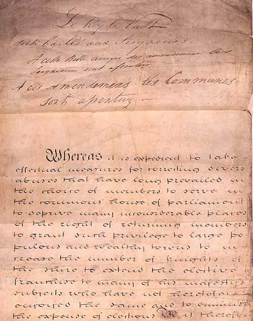
The Representation of the People Act 1832 (also known as the Reform Act 1832, Great Reform Act or First Reform Act) was an act of the Parliament of the United Kingdom (indexed as 2 & 3 Will. 4. c. 45), enacted by the Whig government of Prime Minister Charles Grey, 2nd Earl Grey, introducing major changes to the electoral system of England and Wales, expanding the electorate in the United Kingdom. The legislation granted the right to vote to a broader segment of the male population by standardizing property qualifications, extending the franchise to small landowners, tenant farmers, shopkeepers, and all householders who paid a yearly rental of £10 or more. The act also reapportioned constituencies to address the unequal distribution of seats. The act of England and Wales was accompanied by the Scottish Reform Act 1832 and Irish Reform Act 1832, respectively. Before the reform, most members of Parliament nominally represented boroughs. However, the number of electors in a ... [...More Info...] [...Related Items...] OR: [Wikipedia] [Google] [Baidu] |
William Camden
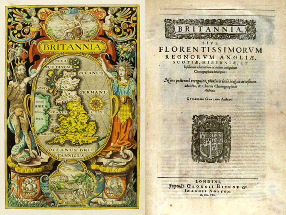
William Camden (2 May 1551 – 9 November 1623) was an English antiquarian, historian, topographer, and herald, best known as author of ''Britannia'', the first chorographical survey of the islands of Great Britain and Ireland that relates landscape, geography, antiquarianism, and history, and the ''Annales'', the first detailed historical account of the reign of Elizabeth I of England. Early years William Camden was born in London. His father Sampson Camden was a member of The Worshipful Company of Painter-Stainers. He attended Christ's Hospital and St Paul's School, and in 1566 entered Oxford ( Magdalen College, Broadgates Hall, and finally Christ Church). At Christ Church, he became acquainted with Philip Sidney, who encouraged Camden's antiquarian interests. He returned to London in 1571 without a degree. In 1575, he became Usher of Westminster School, a position that gave him the freedom to travel and pursue his antiquarian researches during school vacations. ''Br ... [...More Info...] [...Related Items...] OR: [Wikipedia] [Google] [Baidu] |
Unreformed House Of Commons
The "unreformed House of Commons" is a name given to the House of Commons of Great Britain (after 1800 the House of Commons of the United Kingdom) before it was reformed by the Reform Act 1832, the Irish Reform Act 1832, and the Scottish Reform Act 1832. Until the Act of Union 1707, Act of Union of 1707, which united the Kingdoms of Kingdom of Scotland, Scotland and Kingdom of England, England to form Kingdom of Great Britain, Great Britain, Scotland had its own Parliament of Scotland, Parliament, and the term can be used to refer to the House of Commons of England (which included representatives from Wales from the 16th century). From 1707 to 1801 the term refers to the House of Commons of Great Britain. Until the Act of Union 1800, Act of Union of 1800 joining the Kingdom of Ireland to Great Britain (to form the United Kingdom of Great Britain and Ireland), Ireland also had its own Parliament of Ireland, Parliament. From 1801 to 1832, therefore, the term refers to the House of ... [...More Info...] [...Related Items...] OR: [Wikipedia] [Google] [Baidu] |
Gatton (UK Parliament Constituency)
Gatton was a parliamentary borough in Surrey, one of the most notorious of all the rotten boroughs. It elected two Members of Parliament (MPs) to the House of Commons from 1450 until 1832, when the constituency was abolished by the Great Reform Act. Around the time of that Act it was often held up by reformers as the epitome of what was wrong with the unreformed system. History The borough consisted of part of the parish of Gatton, near Reigate, between London and Brighton. It included the manor and estate of Gatton Park. Gatton was no more than a village, with a population in 1831 of 146, and 23 houses of which as few as six may have been within the borough. The right to vote was extended to all freeholders and inhabitants paying scot and lot; but this apparently wide franchise was normally meaningless in tiny Gatton: there were only 7 qualified voters in 1831, and the number had sometimes fallen as low as two. This position had existed long before the 19th century: Gatt ... [...More Info...] [...Related Items...] OR: [Wikipedia] [Google] [Baidu] |


