|
Erdington
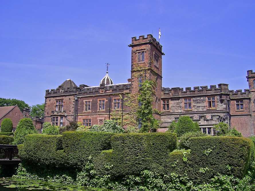
Erdington is a suburb and ward of Birmingham, in the county of the West Midlands (county), West Midlands, England. Historic counties of England, Historically part of Warwickshire, it is located northeast of central Birmingham, bordering Sutton Coldfield. It was also a Government of Birmingham, England#Districts, council constituency, managed by its own district committee. The former council district consisted of the Ward (politics), ward of Erdington as well as Tyburn, West Midlands, Tyburn (formerly Kingsbury), Stockland Green and Kingstanding, although all of Kingstanding and most of both Tyburn and Stockland Green wards lie outside the historical boundaries of Erdington. Stockland Green was formerly part of Aston, Kingstanding part of Perry Barr, and Tyburn (Tyburn Road South & Birches Green) partially split between Aston and Hodge Hill (Castle Vale). Erdington (ward) was part of the Sutton Coldfield (UK Parliament constituency), Sutton Coldfield constituency before 1974. ... [...More Info...] [...Related Items...] OR: [Wikipedia] [Google] [Baidu] |
Birmingham Erdington (UK Parliament Constituency)
Birmingham Erdington is a parliamentary constituency in Birmingham, England, represented in the House of Commons of the Parliament of the United Kingdom since 2022 by Paulette Hamilton of the Labour Party. Boundaries 1918–1950: The County Borough of Birmingham wards of Erdington North, Erdington South, and Washwood Heath, and part of Aston ward. 1950–1955: The County Borough of Birmingham wards of Bromford, Erdington, and Gravelly Hill. 1974–1983: The County Borough of Birmingham wards of Erdington, Gravelly Hill, and Stockland Green. 1983–1997: The City of Birmingham wards of Erdington, Kingsbury, and Stockland Green. 1997–2010: The City of Birmingham wards of Erdington, Kingsbury, Kingstanding, and Stockland Green ''(as they existed on 1 June 1994)''. 2010–2018: The City of Birmingham wards of Erdington, Kingstanding, Stockland Green, and Tyburn ''(as they existed on 12 April 2005)''. 2018–2024: Following a local government boundary review, which did ... [...More Info...] [...Related Items...] OR: [Wikipedia] [Google] [Baidu] |
Sutton Coldfield
Sutton Coldfield or the Royal Town of Sutton Coldfield ( ), is a town and civil parish in the city of Birmingham, West Midlands County, West Midlands, England. The town lies around 8 miles northeast of Birmingham city centre, 9 miles south of Lichfield, 7 miles southwest of Tamworth, Staffordshire, Tamworth, and 7 miles east of Walsall. Sutton Coldfield and its surrounding suburbs are governed under Birmingham City Council for local government purposes but the town has its own Parish councils in England, town council which governs the town and its surrounding areas by running local services and electing a mayor to the council. It is in the Historic counties of England, historic county of Warwickshire, and in 1974 it became part of Birmingham and the West Midlands County, West Midlands metropolitan county under the Local Government Act 1972. History Etymology The etymology of the name Sutton appears to be from "South Town". The name "Sutton Coldfield" appears to come from th ... [...More Info...] [...Related Items...] OR: [Wikipedia] [Google] [Baidu] |
Tyburn, West Midlands
Tyburn is a ward in Birmingham, in the county of West Midlands, England formerly known as Kingsbury. It is part of the Erdington formal district and comprises Castle Vale, Fort Parkway in Castle Bromwich, the Pype Hayes area of Erdington, Birches Green and Tyburn Road. The significant landmarks in the area include Jaguar Cars' Castle Bromwich Assembly factory, Fort Dunlop and Pype Hayes Park. The Castle Vale Library, built in 2006, serves the area. The library was designed by Birmingham-based Associated Architects and built by the Castle Vale Housing Action Trust. Geography of the area Tyburn covers the municipal housing estates of Birches Green, Pype Hayes and Castle Vale as well as Erdington Hall, a residential area. The housing estates of Pype Hayes and Castle Vale have witnessed significant regeneration in recent times. Entire estates in Pype Hayes were cleared and replaced with modern housing by Birmingham City Council. Castle Vale was home to one of Europe's l ... [...More Info...] [...Related Items...] OR: [Wikipedia] [Google] [Baidu] |
Kingstanding
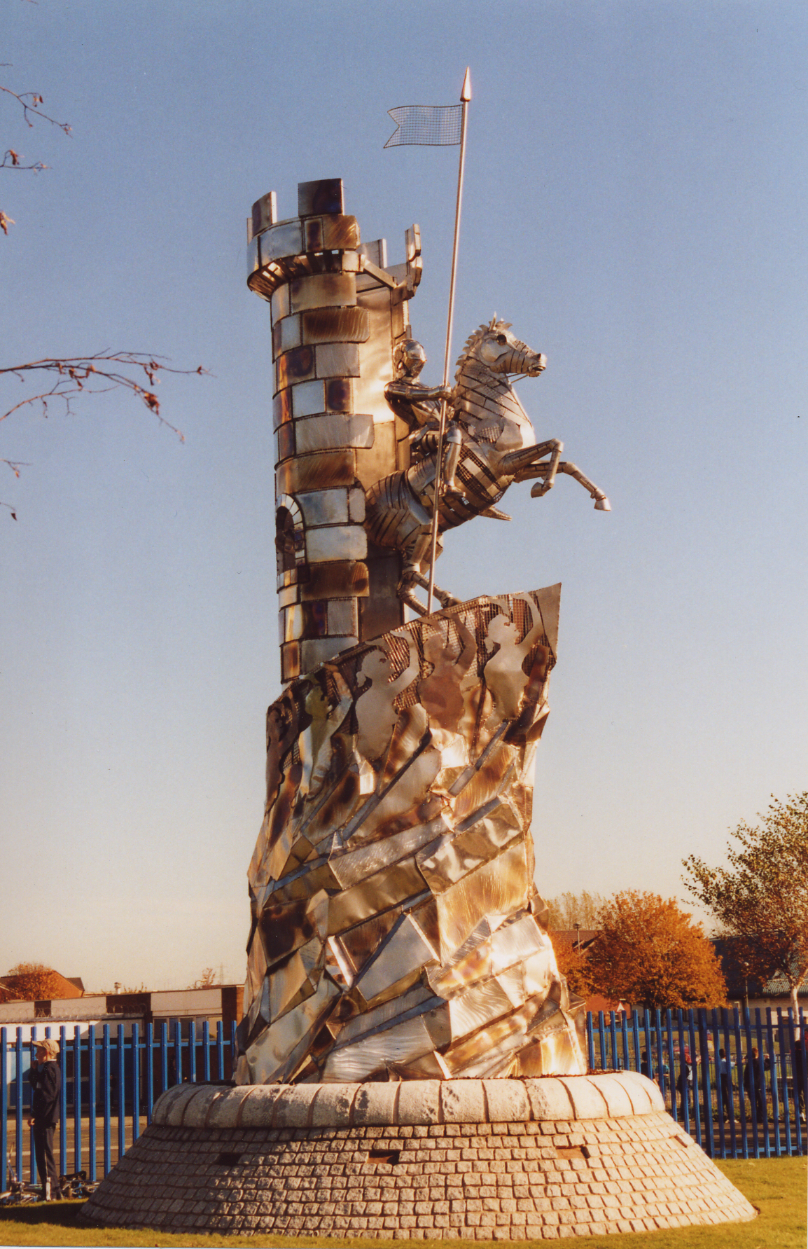
Kingstanding is an area in north Birmingham, England. It gives its name to a ward in the Erdington council constituency. Kingstanding ward includes the areas; Perry Common, Witton Lakes. The other part of Kingstanding falls under the Oscott ward. Kingstanding houses a covered drinking water reservoir, Perry Barr Reservoir, on the site of the former Perry Barr Farm. Kingstanding is served by two libraries; Kingstanding Library and Perry Common Library. The area known as Kingstanding Circle is where the Kingstanding village centre lies with its shops and Kings Road/ Kingstanding Road roundabout. History The name of the area is derived from the occasion when the Stuart King Charles I supposedly reviewed his troops standing on the Neolithic Bowl Barrow in the area on 18 October 1642 during the English Civil War, after his stay at nearby Aston Hall. The first references to Kingstanding were as King's Standing. The course of the Icknield Street Roman Road runs past this ba ... [...More Info...] [...Related Items...] OR: [Wikipedia] [Google] [Baidu] |
Stockland Green
Stockland Green is an area of Birmingham, England. It gives its name to a ward which is part of the Erdington formal district, and is located to the south-west of Erdington and north-east of Birmingham City Centre. The area is often mistakenly identified as Erdington, normally through domestic and commercial addresses. The area however has its own council ward and is outside Erdington's traditional boundaries, previously in the Birmingham Aston constituency. Demographics The 2001 Population Census recorded that there were 23,060 people living in the ward with a population density of 4,487 people per km2 compared with 3,649 people per km2 for Birmingham. 24.7% (5,706) of the ward's population consists of ethnic minorities compared with 29.6% for Birmingham in general. Politics The ward was dominated by the Labour Party between the mid-1980s to 2007 and sent three Labour councillors to Birmingham City Council. However, in 2008 this changed when Matt Bennett won for the local ... [...More Info...] [...Related Items...] OR: [Wikipedia] [Google] [Baidu] |
Castle Vale
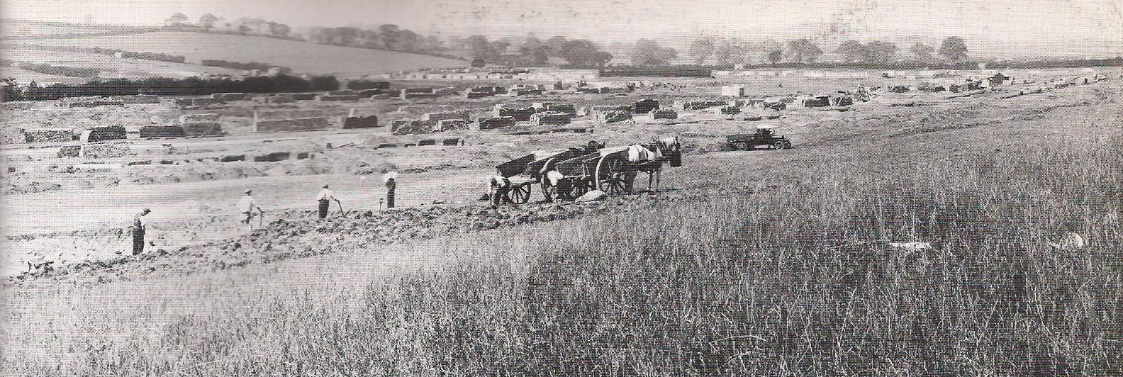
Castle Vale is a housing estate located between Erdington, Minworth and Castle Bromwich. Currently Castle Vale makes up the Castle Vale Ward of Birmingham City Council which is part of Erdington constituency (having previously been part of Hodge Hill constituency until recent times), northeast of Birmingham city centre in England. The area has an approximate population of 10,000 people and has a distinctly modern residential character stemming from its history as a postwar overspill estate. The area was originally known as Berwood, from the Saxon 'Bearu' meaning 'the woods'. Historically being a boggy and wooded area, the area remained undeveloped for most of its history until the deforestation practices of Edward Darcy in the 17th century and the construction of the Birmingham and Fazeley Canal in the 18th century. In the 20th century, the land became the site for the first aeroplane take-off in Birmingham which led to a long aviation history being associated with the area. ... [...More Info...] [...Related Items...] OR: [Wikipedia] [Google] [Baidu] |
Bromford
Bromford, referred to locally as "the Bromford", is an industrial and residential area of Birmingham, situated between Ward End, Alum Rock, Hodge Hill, Washwood Heath, Shard End, Stechford, Castle Bromwich and Tyburn. The industrial area is predominantly situated on the north side of the M6 motorway, including The Bromford Gate industrial park, Fort Shopping Park, and Fort Dunlop, with one industrial site sitting east of the M6 called Bromford Central. The residential area sits adjacent to the East of the M6 comprising two neighbourhoods, Bromford (formally referred to as Bromford Bridge) built along Bromford Drive, and The Firs built along Chipperfield Road. The industrial and residential areas have increasingly become two separate distinguishable places, and not recognised locally as joined or one. This is signified by the M6 & River Tame dividing the two areas, poor public transport links between the two areas, and the areas sitting within three different local author ... [...More Info...] [...Related Items...] OR: [Wikipedia] [Google] [Baidu] |
Government Of Birmingham, England
Birmingham, a city and metropolitan borough in the West Midlands (county), West Midlands, England, is the second-largest city in the United Kingdom. Civic history Most of Birmingham was historically a part of Warwickshire, though the modern city also includes villages and towns historically in Staffordshire or Worcestershire. Until the 1760s, Birmingham was administered by Manorialism, manorial and parish officials, most of whom served on a part-time and honorary basis. By the 1760s the population growth of Birmingham made this system completely inadequate, and salaried officials were needed. The Birmingham Improvement Act 1769 (9 Geo. 3. c. 83) created a body of "Birmingham Street Commissioners, Commissioners of the Streets" who had powers to levy a rate for functions such as cleaning and street lighting. They were later given powers to provide policing and build public buildings. The Reform Act 1832 gave Birmingham its first representation in Parliament of the United Kingdom ... [...More Info...] [...Related Items...] OR: [Wikipedia] [Google] [Baidu] |
District Committee
Birmingham City Council is the Local government in England, local authority for the City status in the United Kingdom, city of Birmingham in the West Midlands (county), West Midlands, England. Birmingham has had an elected local authority since 1838, which has been reformed several times. Since 1974 the council has been a metropolitan borough council, a type of unitary authority. It provides the majority of local government services in the city. It is the most populous local government district in England, serving over 1.1million people. The council has been a member of the West Midlands Combined Authority since 2016. The council has been under Labour Party (UK), Labour majority control since 2012. It is based at the Council House, Birmingham, Council House on Victoria Square, Birmingham. On 6 September 2023, the council Section 114 notice, declared effective bankruptcy, and central government commissioners were subsequently appointed to run the council under emergency measures ... [...More Info...] [...Related Items...] OR: [Wikipedia] [Google] [Baidu] |
Birmingham
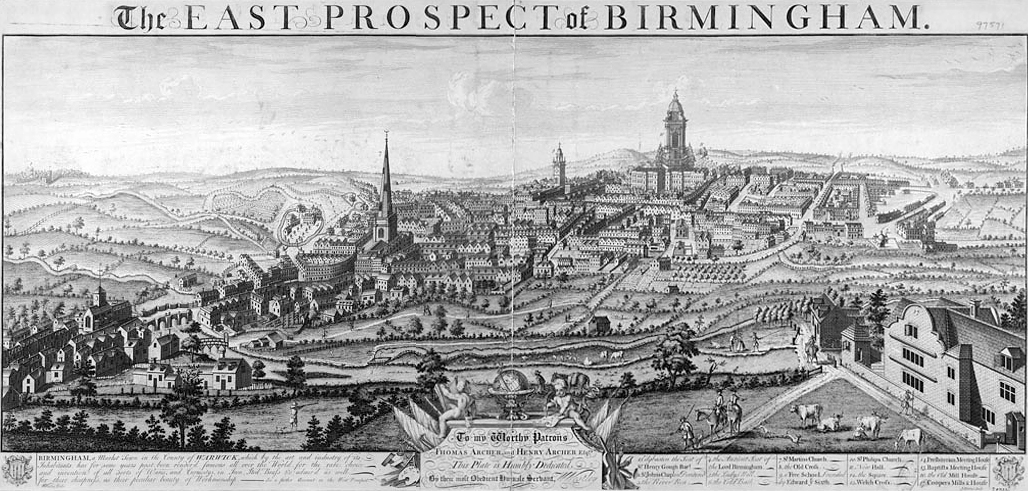
Birmingham ( ) is a City status in the United Kingdom, city and metropolitan borough in the metropolitan county of West Midlands (county), West Midlands, within the wider West Midlands (region), West Midlands region, in England. It is the List of English districts by population, largest local authority district in England by population and the second-largest city in Britain – commonly referred to as the second city of the United Kingdom – with a population of million people in the city proper in . Birmingham borders the Black Country to its west and, together with the city of Wolverhampton and towns including Dudley and Solihull, forms the West Midlands conurbation. The royal town of Sutton Coldfield is incorporated within the city limits to the northeast. The urban area has a population of 2.65million. Located in the West Midlands (region), West Midlands region of England, Birmingham is considered to be the social, cultural, financial and commercial centre of the Midland ... [...More Info...] [...Related Items...] OR: [Wikipedia] [Google] [Baidu] |
West Midlands (county)
West Midlands is a Metropolitan county, metropolitan and Ceremonial counties of England, ceremonial county in the larger West Midlands (region), West Midlands region of England. A landlocked county, it is bordered by Staffordshire to the north and west, Worcestershire to the south, and is almost surrounded by Warwickshire to the east. The largest settlement is the city of Birmingham. The county is almost entirely urban, with an area of and a population of 2,953,816, making it the List of ceremonial counties of England, second most populous county in England after Greater London. After Birmingham (1,144,919) the largest settlements are the cities of Coventry (345,324) and Wolverhampton (263,700), Solihull (126,577), and Sutton Coldfield (109,899). Nearly all of the county's settlements belong to the West Midlands conurbation, West Midlands and Coventry and Bedworth urban area, Coventry built-up areas, though the 'Meriden Gap' between them is rural. For Local government in Engl ... [...More Info...] [...Related Items...] OR: [Wikipedia] [Google] [Baidu] |
Minworth
Minworth is a village situated in the civil parish of Sutton Coldfield, West Midlands, within Minworth there are three hamlets Wiggins Hill, Peddimore and The Greaves. Minworth lies within the City of Birmingham district on its northeastern outer fringe, where it forms part of the Sutton Walmley and Minworth electoral ward and borders the North Warwickshire district, some 4.5 miles southeast of Sutton Coldfield town centre. Minworth is the centre of England and Wales. The exact centre point is at the grid reference; SP 15322 93007. The village is immediately adjacent to the Sutton suburb of Walmley, the hamlet of Wiggins Hill and the Warwickshire village of Curdworth. The River Tame runs through the south of the area. Minworth has close transport links to the M6, M6 Toll and M42 motorways, while the closest rail station is nearby Water Orton railway station in Water Orton, Warwickshire. History Minworth's name probably came from Mynna's Estate. Minworth and Curdworth ... [...More Info...] [...Related Items...] OR: [Wikipedia] [Google] [Baidu] |

