|
Duppach
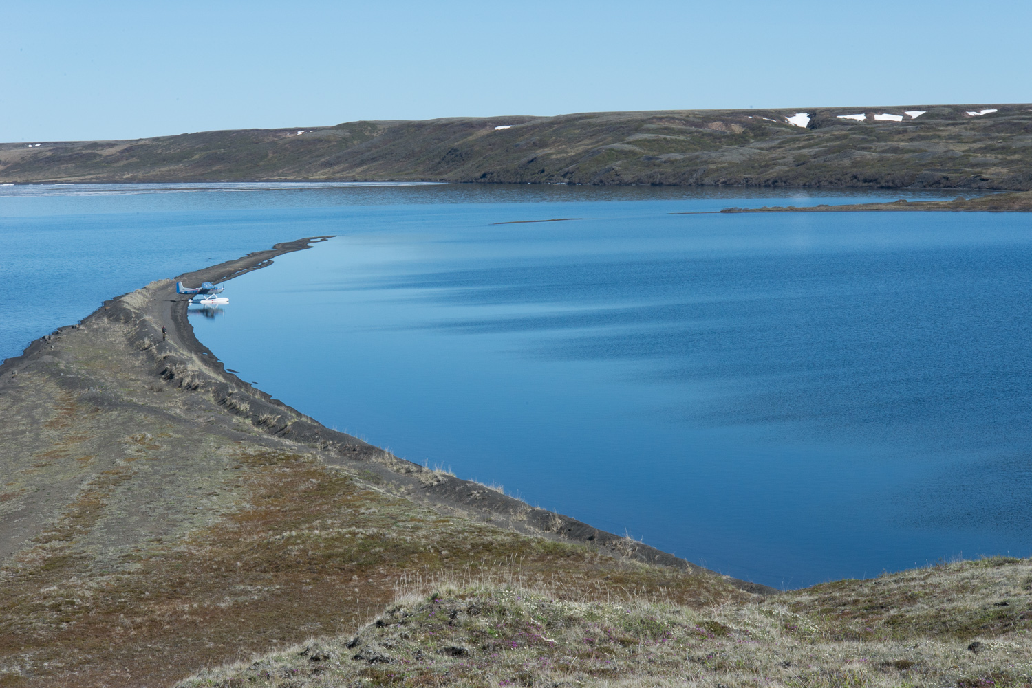
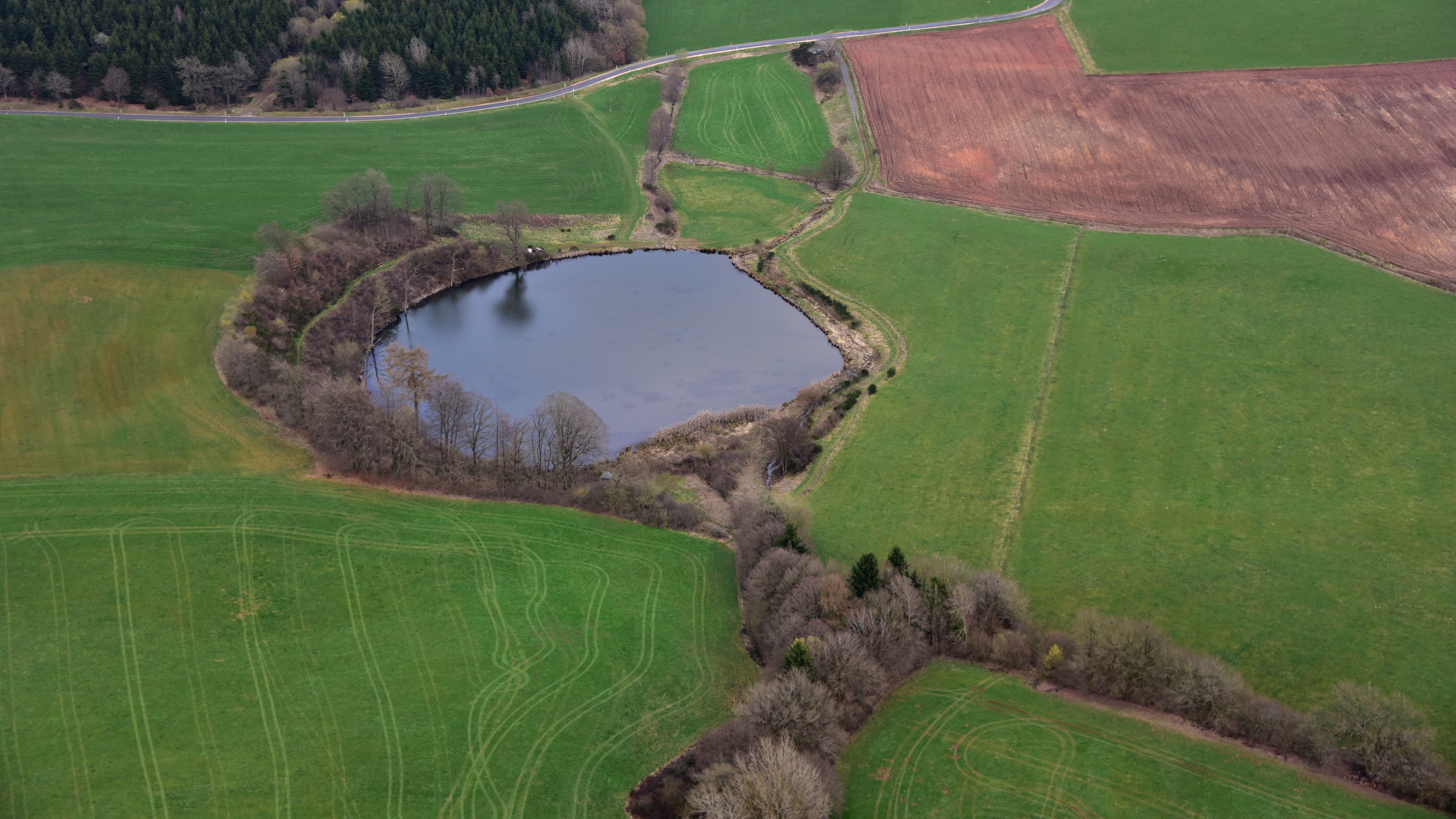
Duppach is an ''Ortsgemeinde'' (a municipality), part of a group of municipalities called the ''Verbandsgemeinde'' of Gerolstein, which is located in the town of Gerolstein'' in the Vulkaneifel district of the state of Rhineland-Palatinate, Germany. Geography Location Duppach is located in the Vulkaneifel, a part of the Eifel region known for its volcanic origins, geographical and geological features. There is still ongoing volcanic activity and gases sometimes well up from the earth. The elevation of the region of Duppach ranges from 400 to 600 m above sea level. The village itself is located on slightly lower ground at 460 m above sea level. The towns of Hillesheim and Gerolstein are both 10 km away. The town of Prüm is 13 km away. Duppacher Maar (Duppacher Weiher) Volcano The former 16-hectare Duppacher Maar (Duppacher Weiher) is a volcano and was dried around 1930. * To the north, between Duppach and Steffeln, is the Eichholzmaar, a volcanic maa ... [...More Info...] [...Related Items...] OR: [Wikipedia] [Google] [Baidu] |
Maar
A maar is a broad, low-relief volcanic crater caused by a phreatomagmatic eruption (an explosion which occurs when groundwater comes into contact with hot lava or magma). A maar characteristically fills with water to form a relatively shallow crater lake which may also be called a maar. The name comes from a Moselle Franconian dialect word used for the circular lakes of the Daun area of Germany. Notes: * According to German Wikipedia's ''"Maar"'' article, in 1544 in his book ''Cosmographia'', Sebastian Münster (1488–1552) first applied the word "maar" (as ''Marh'') to the Ulmener Maar and the Laacher See. See: Sebastian Münster, ''Cosmographia'' (Basel, Switzerland: Heinrich Petri, 1544)p. 341. From p. 341: ''"Item zwen namhafftiger seen seind in der Eyfel / einer bey de schloß Ulmen / und ein ander bey dem Closter züm Laich / die seind sere tieff / habe kein ynflüß aber vil außflüß / die nennet man Marh unnd seind fischreich."'' (Also two noteworthy lakes are ... [...More Info...] [...Related Items...] OR: [Wikipedia] [Google] [Baidu] |
Eifel
The Eifel (; lb, Äifel, ) is a low mountain range in western Germany and eastern Belgium. It occupies parts of southwestern North Rhine-Westphalia, northwestern Rhineland-Palatinate and the southern area of the German-speaking Community of Belgium. The Eifel is part of the Rhenish Massif; within its northern portions lies the Eifel National Park. Geography Location The Eifel lies between the cities of Aachen to the north, Trier to the south and Koblenz to the east. It descends in the northeast along a line from Aachen via Düren to Bonn into the Lower Rhine Bay. In the east and south it is bounded by the valleys of the Rhine and the Moselle. To the west it transitions in Belgium and Luxembourg into the geologically related Ardennes and the Luxembourg Ösling. In the north it is limited by the Jülich-Zülpicher Börde. Within Germany it lies within the states of Rhineland-Palatinate and North Rhine-Westphalia; in the Benelux the area of Eupen, St. Vith and Luxemb ... [...More Info...] [...Related Items...] OR: [Wikipedia] [Google] [Baidu] |
Gerolstein
Gerolstein () is a town in the Vulkaneifel district of Rhineland-Palatinate, Germany. Gerolstein is a local municipality of the ''Verbandsgemeinde Gerolstein''. It has been approved as a '' Luftkurort'' (spa town). History As early as the Stone Age, there is evidence of human habitation in the ''Buchenloch'', a nearby cave. In the Bronze Age the Dietzenley was used by the Celts as a refuge castle. In Roman times a temple and dwellings were known to have existed, and remnants of them have been preserved. One form of the name Gerolstein first appeared in connection with the building of the Löwenburg in 1115, which was then named the ''Burg Gerhardstein''. Town rights were granted to Gerolstein in 1336. In 1691, the town was almost completely destroyed when it was liberated from French occupation by troops from the Duchy of Jülich. After reconstruction, a devastating fire burnt down the town in 1708, and again in 1784. In the 1801 Treaty of Lunéville, Gerolstein, along with ... [...More Info...] [...Related Items...] OR: [Wikipedia] [Google] [Baidu] |
Vulkaneifel
Vulkaneifel () is a district (''Kreis'') in the northwest of the state Rhineland-Palatinate, Germany. It is the least densely populated district in the state and the fourth most sparsely populated district in Germany. The administrative centre of the district is in Daun. Neighboring districts are Euskirchen (North Rhine-Westphalia), Ahrweiler, Mayen-Koblenz, Cochem-Zell, Bernkastel-Wittlich, and Bitburg-Prüm. Location The county of Vulkaneifel lies in the western part of the eponymous region which lies at heights between 150 and 700 metres above sea level. As a result of former volcanism numerous mineral springs (''Sauerbrunnen'') have formed. The Kyll flows through the county from north to south. The German Wildlife Route and the German Volcano Route also cross the county as does the Eifelsteig hiking trail. History The district was created in 1815 when the Eifel became part of Prussia. As most of the local industries had their traditional markets in France, the distri ... [...More Info...] [...Related Items...] OR: [Wikipedia] [Google] [Baidu] |
Gerolstein (Verbandsgemeinde)
Gerolstein is a ''Verbandsgemeinde'' ("collective municipality") in the district Vulkaneifel, in Rhineland-Palatinate, Germany. The seat of the ''Verbandsgemeinde'' is in Gerolstein. On 1 January 2019 it was expanded with the municipalities of the former ''Verbandsgemeinden'' Hillesheim and Obere Kyll. The ''Verbandsgemeinde'' Gerolstein consists of the following ''Ortsgemeinden'' ("local municipalities"): # Basberg # Berlingen # Berndorf #Birgel #Birresborn #Densborn # Dohm-Lammersdorf #Duppach # Esch # Feusdorf #Gerolstein #Gönnersdorf #Hallschlag #Hillesheim #Hohenfels-Essingen #Jünkerath # Kalenborn-Scheuern #Kerpen #Kerschenbach # Kopp #Lissendorf # Mürlenbach # Neroth #Nohn # Oberbettingen # Oberehe-Stroheich #Ormont #Pelm # Reuth #Rockeskyll #Salm #Scheid #Schüller #Stadtkyll #Steffeln # Üxheim # Walsdorf #Wiesbaum Wiesbaum is an '' Ortsgemeinde'' – a municipality belonging to a ''Verbandsgemeinde'', a kind of collective municipality � ... [...More Info...] [...Related Items...] OR: [Wikipedia] [Google] [Baidu] |
Eichholzmaar
The Eichholzmaar is one of the smaller maars in the Volcanic Eifel and lies on the ''Landstraße'' between Steffeln and Duppach. It has a diameter of c. 120 metres. Its greatest depth is 3 metres. The circular shape of the bowl of the maar can still be easily seen. It lies exactly on a geological fault line, which runs from northwest to southeast. At the beginning of the 20th century the maar was drained in order to create meadows. From late summer 2007 to spring 2008 a renaturalisation was carried out and the lake restored with an area of c. 1,1 hectares. In only a few years the maar has become a refuge for rare water birds and reptiles. Two natural mineral springs in the immediate vicinity of the maar are accessible on foot. About 300 metres upstream in a westerly direction from the Eichholzmaar is the mineral spring known as the ''Steffelner Dress'' (). Around 270 metres downstream in an easterly direction from the Eichholzmaar is the mineral spring of ''Aueler Dress'' (). ... [...More Info...] [...Related Items...] OR: [Wikipedia] [Google] [Baidu] |
Second World War
World War II or the Second World War, often abbreviated as WWII or WW2, was a world war that lasted from 1939 to 1945. It involved the vast majority of the world's countries—including all of the great powers—forming two opposing military alliances: the Allies and the Axis powers. World War II was a total war that directly involved more than 100 million personnel from more than 30 countries. The major participants in the war threw their entire economic, industrial, and scientific capabilities behind the war effort, blurring the distinction between civilian and military resources. Aircraft played a major role in the conflict, enabling the strategic bombing of population centres and deploying the only two nuclear weapons ever used in war. World War II was by far the deadliest conflict in human history; it resulted in 70 to 85 million fatalities, mostly among civilians. Tens of millions died due to genocides (including the Holocaust), starvation, ma ... [...More Info...] [...Related Items...] OR: [Wikipedia] [Google] [Baidu] |
Baroque Revival Architecture
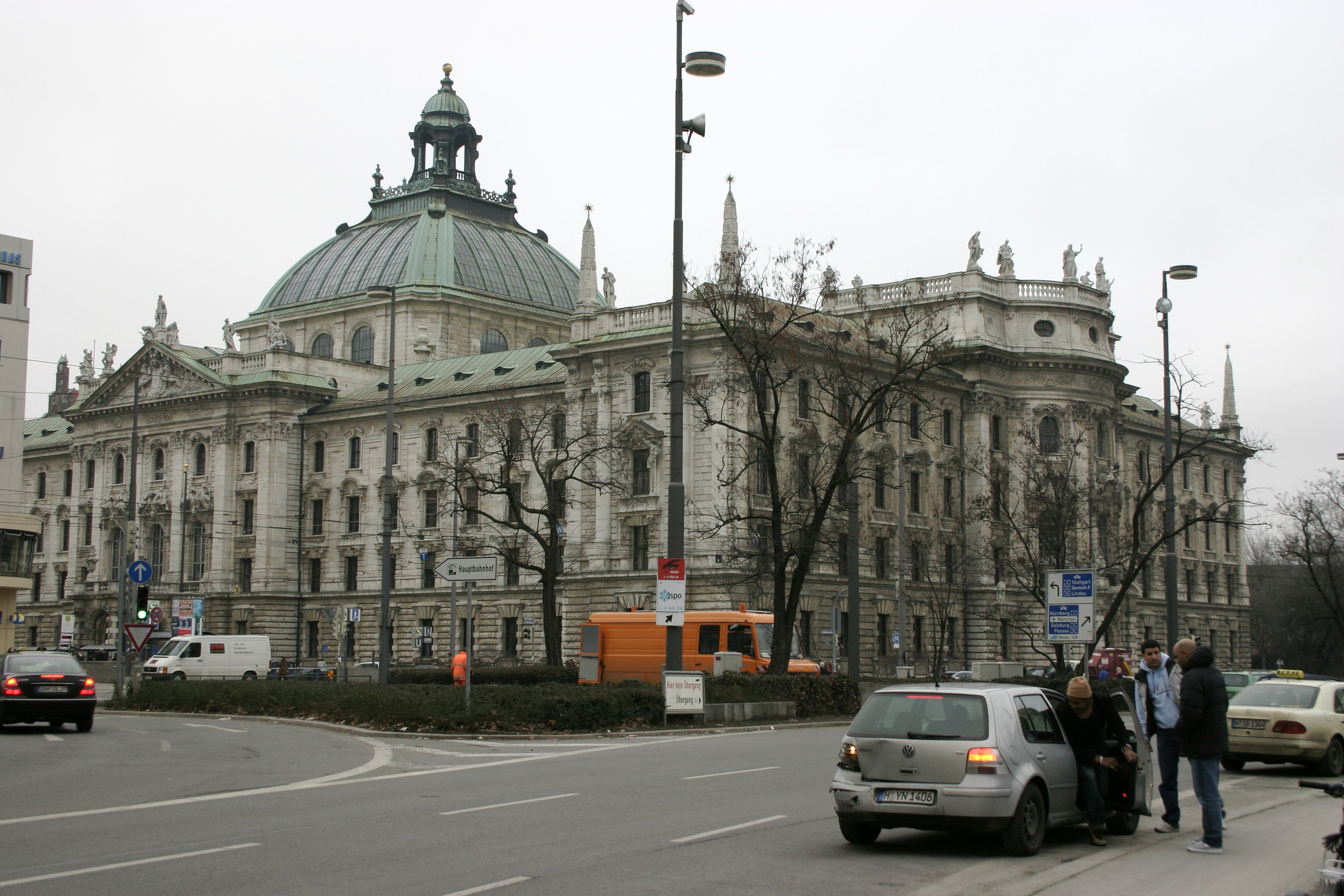
The Baroque Revival, also known as Neo-Baroque (or Second Empire architecture in France and Wilhelminism in Germany), was an architectural style of the late 19th century. The term is used to describe architecture and architectural sculptures which display important aspects of Baroque style, but are not of the original Baroque period. Elements of the Baroque architectural tradition were an essential part of the curriculum of the École des Beaux-Arts in Paris, the pre-eminent school of architecture in the second half of the 19th century, and are integral to the Beaux-Arts architecture it engendered both in France and abroad. An ebullient sense of European imperialism encouraged an official architecture to reflect it in Britain and France, and in Germany and Italy the Baroque Revival expressed pride in the new power of the unified state. Notable examples * Akasaka Palace (1899–1909), Tokyo, Japan * Alferaki Palace (1848), Taganrog, Russia * Ashton Memorial (1907–1909 ... [...More Info...] [...Related Items...] OR: [Wikipedia] [Google] [Baidu] |
Hubertus
Hubertus or Hubert ( 656 – 30 May 727 A.D.) was a Christian saint who became the first bishop of Liège in 708 A.D. He is the patron saint of hunters, mathematicians, opticians and metalworkers. Known as the "Apostle of the Ardennes", he was called upon, until the early 20th century, to cure rabies through the use of the traditional Saint Hubert's Key. Hubert was widely venerated during the Middle Ages. The iconography of his legend is entangled with the legend of the martyr Saint Eustace. The Bollandists published seven early lives of Hubertus (''Acta Sanctorum'', November 3, 759 – 930 A.D.); the first of these was the work of a contemporary, although it offers few details. Hubertus died 30 May 727 A.D. in or near a place called (in Latin) ''Fura''. In the later Middle Ages, this location was claimed to have been identified as Tervuren near Brussels; recent scholarship, however, considers Voeren (Fourons), a location much closer to Liège than Brussels, to be the saint's l ... [...More Info...] [...Related Items...] OR: [Wikipedia] [Google] [Baidu] |
Tincture (heraldry)
Tincture is the limited palette of colours and patterns used in heraldry. The need to define, depict, and correctly blazon the various tinctures is one of the most important aspects of heraldic art and design. Development and history The use of tinctures dates back to the formative period of European heraldry in the twelfth and thirteenth centuries. The range of tinctures and the manner of depicting and describing them has evolved over time, as new variations and practices have developed. The basic scheme and rules of applying the heraldic tinctures dates back to the 12th century. The earliest surviving coloured heraldic illustrations, from the mid-thirteenth century, show the standardized usage of two metals, five colours, and two furs. Since that time, the great majority of heraldic art has employed these nine tinctures. Over time, variations on these basic tinctures were developed, particularly with respect to the furs. Authorities differ as to whether these variations shou ... [...More Info...] [...Related Items...] OR: [Wikipedia] [Google] [Baidu] |
County Of Manderscheid
The House of Manderscheid was the name of the most powerful family in the Eifel region of Germany for a considerable period of time in the 15th century. In 1457, Dietrich III von Manderscheid was made a ' (Imperial count) by the Emperor (probably Frederick III). When Dietrich died on 20 February 1498, he had appointed his sons Johann, Konrad and Wilhelm as new rulers – the family property had been distributed in 1488. Each of the sons founded a powerful lineage: Johann started the Manderscheid-Blankenheim-Gerolstein line, William the Manderscheid-Kail line, and Konrad (Cuno) the Manderscheid-Schleiden line. Augusta von Manderscheid-Blankenheim was the last countess. She was married to a member of the Bohemian nobility, Count Philipp Christian von Sternberg (1732–1811). The Manderscheid-Kail lineage The ancestral seat was the former moated castle in Oberkail, and because of this, Oberkail gained and maintained considerable importance in the Eifel region for several cen ... [...More Info...] [...Related Items...] OR: [Wikipedia] [Google] [Baidu] |


