|
Delirium Wilderness
Delirium Wilderness is a wilderness area in Chippewa County, within the Hiawatha National Forest in the U.S. state of Michigan.Delirium Wilderness - Hiawatha National ForestDelirium Wilderness - Wilderness.net The wilderness is forested and flat-to-rolling, with its lower reaches often characterized as a swamp. Elevations range from 590 to 890 feet (180 to 270 m). Sculpted by |
Chippewa County, Michigan
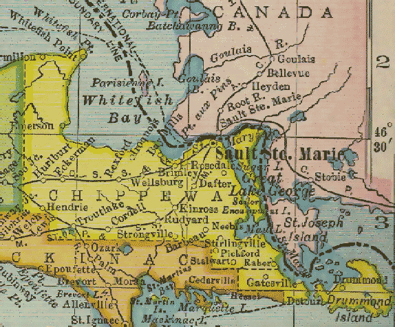
Chippewa County is a county in the Upper Peninsula of the U.S. state of Michigan. As of the 2020 Census, the population was 36,785. The county seat is Sault Ste. Marie. The county is named for the Ojibwe (Chippewa) people, and was set off and organized in 1826. Chippewa County comprises the Sault Ste. Marie, MI micropolitan statistical area. Geography According to the U.S. Census Bureau, the county has a total area of , of which is land and (42%) is water. It is the second-largest county in Michigan by land area and fifth-largest by total area. The Michigan Meridian runs through the eastern portion of the county. South of Nine Mile Road, M-129 (Meridian Road) overlays the meridian. In Sault Ste. Marie, Meridian Street north of 12th Avenue overlays the meridian. Adjacent counties & districts * Algoma District, Ontario, Canada (northeast) * Manitoulin District, Ontario, Canada (east) * Presque Isle County (southeast) * Mackinac County (south) * Luce County (west) Nat ... [...More Info...] [...Related Items...] OR: [Wikipedia] [Google] [Baidu] |
