|
Doonbeg
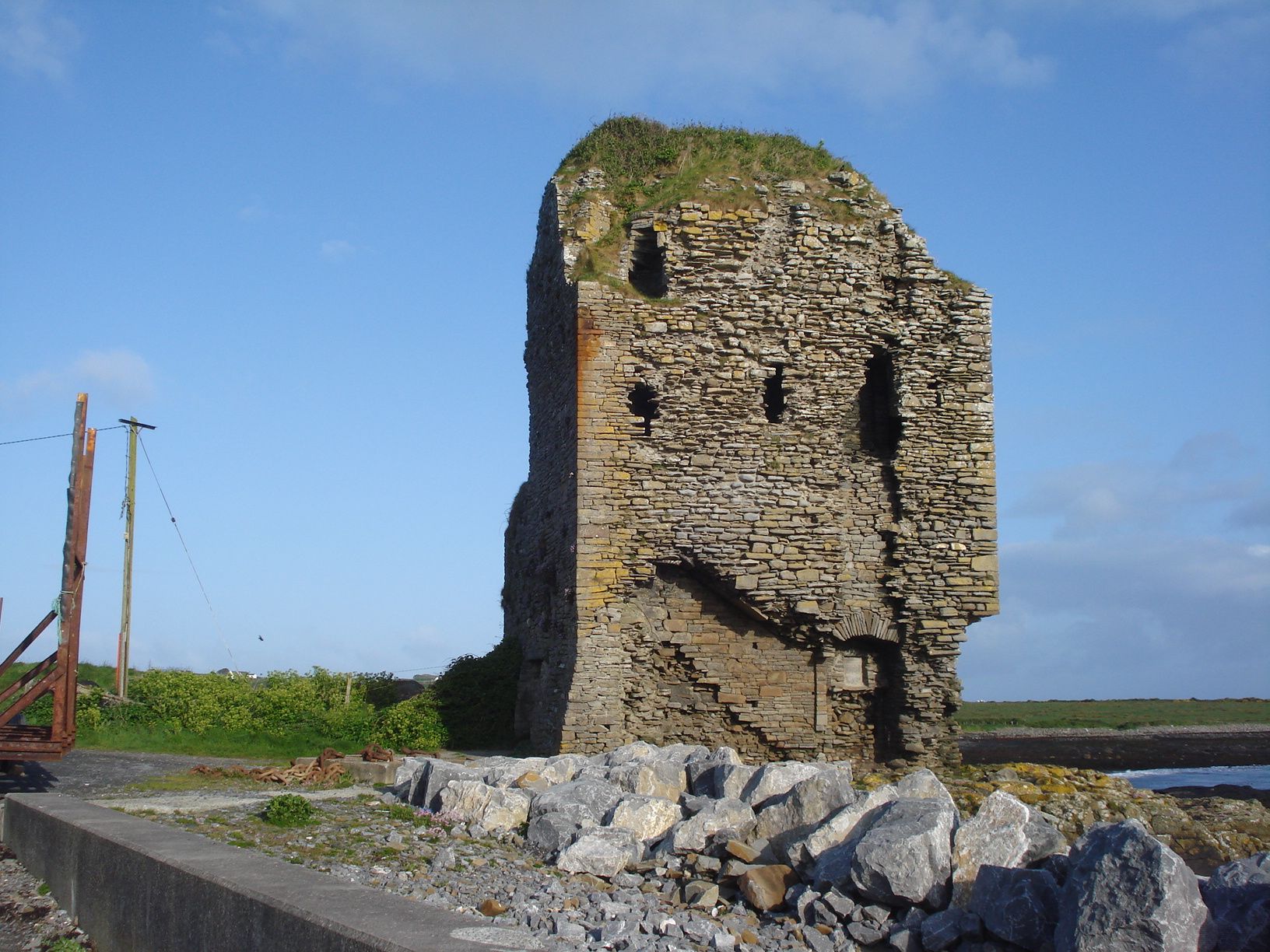
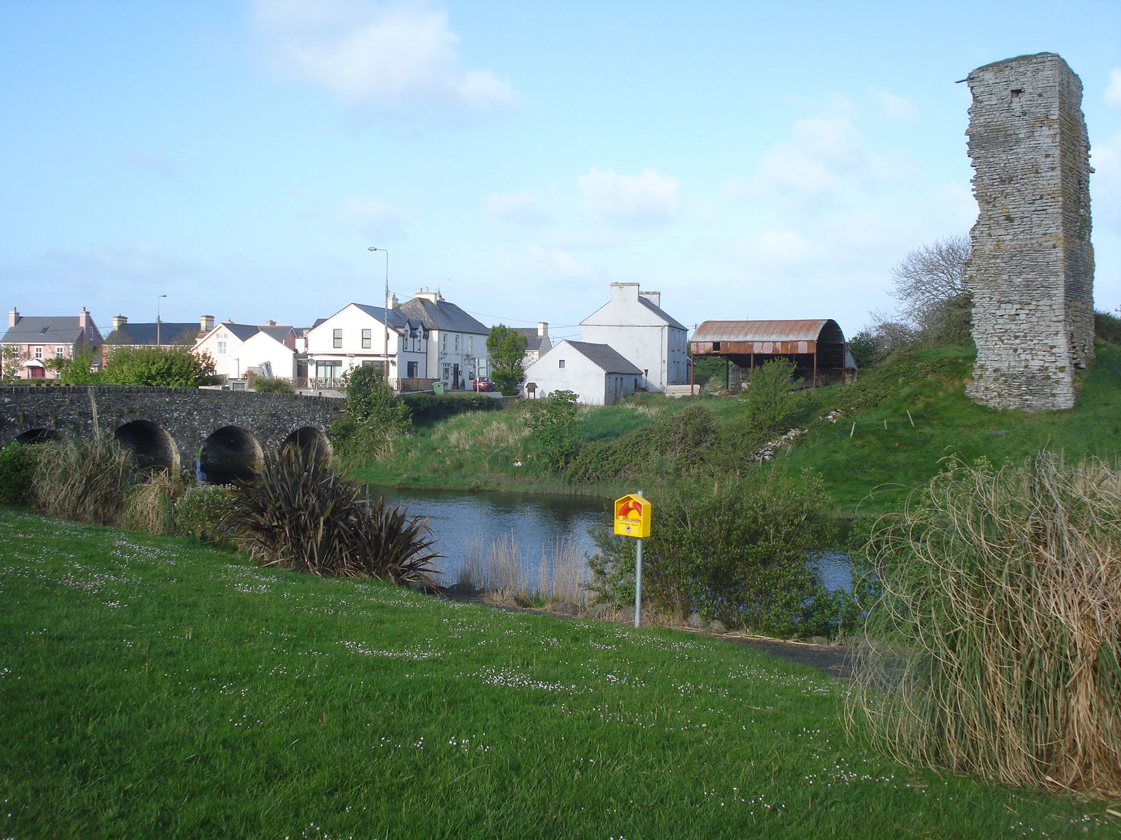
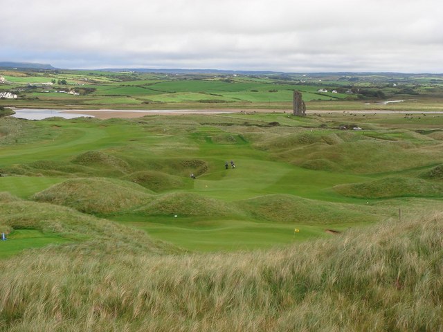
Doonbeg () is a village in west County Clare, Ireland on the Atlantic coast. The surrounding natural environment has supported its development as a tourist resort. The area was officially classified as part of the West Clare Gaeltacht, an Irish-speaking community, until 1956. Location Doonbeg is situated on the N67 between the towns of Kilkee and Milltown Malbay. The nearest large towns are Kilrush and Kilkee, which are both approximately away. The village is located in civil parish of Killard. It is part of the parish of Doonbeg (Killard) in the Roman Catholic Diocese of Killaloe. Doonbeg is surrounded by farmland, some of which is used for dairy farming. There is also an area of bogland near the village. The Doonbeg River flows through the village and enters the Atlantic Ocean at the nearby Doonbeg Bay. History Evidence of ancient settlement in the area include a number of ringfort sites in the surrounding townlands of Doonbeg, Doonmore and Mountrivers. A settlement h ... [...More Info...] [...Related Items...] OR: [Wikipedia] [Google] [Baidu] |
Killard
Doonbeg (Killard) () is a civil parish on the Atlantic coast of County Clare in Ireland. - Killard civil parish It is also an in the . The largest population centre in the parish is the village of Doonbeg. Location The parish is part of the historic |
Doonbeg River
The Doonbeg ( Irish: ''Abhainn an Dúin Bhig'') is a river of County Clare, western Ireland. Its source is near Kilmaley, and it flows southward for about 7 miles before turning northwestward for about 15 miles and passing Cooraclare before flowing into the sea at Doonbeg. At Doonbeg village the N67 road crosses the river on a seven-arched stone bridge. On 20 September 1588, one of the ships of the Spanish Armada The Spanish Armada (often known as Invincible Armada, or the Enterprise of England, ) was a Spanish fleet that sailed from Lisbon in late May 1588, commanded by Alonso de Guzmán, Duke of Medina Sidonia, an aristocrat without previous naval ..., the '' San Estaban'', was wrecked near the mouth of Doonbeg. References Rivers of County Clare {{Ireland-river-stub ... [...More Info...] [...Related Items...] OR: [Wikipedia] [Google] [Baidu] |
N67 Road (Ireland)
The N67 road is a national secondary road in Ireland. It runs from Galway to Tarbert and passes through Oranmore, Clarinbridge, Kinvara, Ballyvaughan, Lisdoonvarna, Ennistymon, Lahinch, Milltown Malbay, Quilty, Doonbeg, Kilkee, Moyasta, Kilrush and Killimer. See also *Roads in Ireland *Motorways in Ireland *National primary road * Regional road ReferencesRoads Act 1993 (Classification of National Roads) (Amendment) Order 2018– Department of Transport A ministry of transport or transportation is a ministry responsible for transportation within a country. It usually is administered by the ''minister for transport''. The term is also sometimes applied to the departments or other government a ... {{Roads in Ireland National secondary roads in the Republic of Ireland Roads in County Kerry Roads in County Limerick ... [...More Info...] [...Related Items...] OR: [Wikipedia] [Google] [Baidu] |
Roman Catholic Diocese Of Killaloe
The Diocese of Killaloe ( ; ) is a Latin diocese of the Catholic Church in mid-western Ireland, one of six suffragan dioceses in the ecclesiastical province of Cashel and Emly. The cathedral church of the diocese is the Cathedral of Ss Peter and Paul in Ennis, County Clare. The incumbent bishop of the diocese is Fintan Monahan. Geography The diocese is divided into 58 parishes, which are spread across five counties: 38 in Clare, thirteen in Tipperary, five in Offaly, one in Limerick, and one group parish in Laois. The parishes are grouped into 15 Pastoral Areas, where groups of priests are appointed to cover a number of parishes between them. As of 2018, there were 90 priests in the diocese: 52 under and 38 over the mandatory retirement age of 75. However, by 2020, this had decreased to 70: 36 under and 34 over 70. Aside from the cathedral town of Ennis, the main towns in the diocese are Birr, Kilrush, Nenagh, Roscrea Roscrea () is a market town in County Tippe ... [...More Info...] [...Related Items...] OR: [Wikipedia] [Google] [Baidu] |
County Clare
County Clare () is a Counties of Ireland, county in the Provinces of Ireland, province of Munster in the Southern Region, Ireland, Southern part of Republic of Ireland, Ireland, bordered on the west by the Atlantic Ocean. Clare County Council is the Local government in the Republic of Ireland, local authority. The county had a population of 127,938 at the 2022 census of Ireland, 2022 census. The county seat and largest settlement is Ennis. Etymology There are two main hypotheses for the origins of the county name "Clare". One is that the name is derived from Thomas de Clare, Lord of Thomond, Thomas de Clare an Anglo-Norman peer and soldier from the de Clare family, who was deeply embroiled in local politics and fighting in the 1270s and 1280 and had had acquired land in Kilkenny and Thomond that included the Castle of Clare. In 1590 County Clare was named after the castle, which is in a strategic location. An alternative hypothesis is that the county name ''Clare'' comes from ... [...More Info...] [...Related Items...] OR: [Wikipedia] [Google] [Baidu] |
Lahinch
Lahinch or Lehinch ( ''or'' ) is a small town on Liscannor Bay, on the northwest coast of County Clare, Ireland. It lies on the N67 national secondary road, between Milltown Malbay and Ennistymon, roughly by road southwest of Galway and northwest of Limerick. The town is a seaside resort and is home to the Lahinch Golf Club. It has become a popular surfing location. Etymology Lahinch is the anglicised form of Leath Inse, meaning half island or peninsula. This is not related to ''Leacht Uí Chonchubhair'', which means "O'Connor's Grave", referring to the memorial cairn (Leacht) marking the burial place of one of the O’Connor chieftains, who were the ruling clan of the district of Corco Modhruadh Iartharach. The town was recorded by the Annals of the Four Masters as ''Leith Innse'', which is a variant of the Irish word for a peninsula ''leithinis'' ("half island"), which describes the village's location between the Inagh River and the sea. The town today is mostly spell ... [...More Info...] [...Related Items...] OR: [Wikipedia] [Google] [Baidu] |
Kilrush
Kilrush () is a coastal town in County Clare, Ireland. It is also the name of a civil parish and an ecclesiastical parish in Roman Catholic Diocese of Killaloe. It is located near the mouth of the River Shannon in the south-west of the county. Kilrush is one of the listed Heritage Towns of Ireland. The area was officially classified as part of the West Clare Gaeltacht, an Irish-speaking community, until 1956. History Kilrush has existed since the 16th Century but an older church ruin at the local churchyard suggests a much older history. It is thought the name Cill Rois is derived from Church of the Wood, which would fit with the church ruins location. Of Dutch origin, the Vandeleur family became the most prominent landlord family in West Clare. The Vandeleurs settled in the area, as tenants to the Earl of Thomond on land at Ballynote, Kilrush, in about 1656. Giles, the first Vandeleur in the area was the father of the Rev. John Vandeleur who was appointed prebend of Iniscat ... [...More Info...] [...Related Items...] OR: [Wikipedia] [Google] [Baidu] |
Kilkee
Kilkee () is a coastal town in County Clare, Ireland. It is located in the parish of Kilkee ''(formerly Kilfearagh)''. Kilkee is midway between Kilrush and Doonbeg on the N67 road and is a popular seaside resort. The horseshoe bay is protected from the Atlantic Ocean by the Duggerna Reef. History In the early 19th century, Kilkee was a small fishing village. Around the 1820s, a paddle steamer service from Limerick to Kilrush made Kilkee more accessible as a tourist destination, particularly for the Anglo-Irish aristocracy. Catty Fitzgerald opened the first hotel, which operated for 40 years. By the 1830s, two more hotels opened in Kilkee. Along with these, three churches were built, a Roman Catholic church in 1831, a Protestant church in 1843, and a Methodist church in 1900. Descriptions of Kilkee during the Irish Famine can be found in John Manners’s travel narrative ''Notes of an Irish Tour, in 1846'' and Sydney Godolphin Osborne's ''Gleanings in the West of Irelan ... [...More Info...] [...Related Items...] OR: [Wikipedia] [Google] [Baidu] |
Milltown Malbay
Milltown Malbay (), also Miltown Malbay, is a town in the west of County Clare, Ireland, near Spanish Point, County Clare, Spanish Point. The population was 921 at the 2022 census of Ireland, 2022 census. Name There is a townland on the southern edge of the town called Poulawillin or Pollawillin (). There is evidence that this name was once applied to the town – for example, in the ''Parish Namebook'' of the ''Ordnance Survey'' (1839) there is a reference to "Baile an Mhuillinn anciently Poll a’ Mhuillinn, Milltown Malbay". ''Malbay'' is the name of the bay to the west of Milltown. The name ''Malbay'' is thought to come from the Irish ''meall-bhaigh'', which roughly means "treacherous coast". It could also stem from the legend of the witch "Mal" who was drowned in the bay by Fionn mac Cumhaill. History The town has only existed since about 1800 but grew rapidly: by 1821 it had a population of 600. During the Great Famine (Ireland), Great Famine (1844–1848) many farmers w ... [...More Info...] [...Related Items...] OR: [Wikipedia] [Google] [Baidu] |
Irish Grid Reference System
The Irish grid reference system is a system of geographic grid references used for paper mapping in Ireland (both Northern Ireland and the Republic of Ireland). Any location in Ireland can be described in terms of its distance from the origin (0, 0), which lies off the southwest coast. The Irish grid partially overlaps the British grid, and uses a similar co-ordinate system but with a meridian more suited to its westerly location. Usage In general, neither Ireland nor Great Britain uses latitude or longitude in describing internal geographic locations. Instead grid reference systems are used for mapping. The national grid referencing system was devised by the Ordnance Survey, and is heavily used in their survey data, and in maps (whether published by the Ordnance Survey of Ireland, the Ordnance Survey of Northern Ireland or commercial map producers) based on those surveys. Additionally grid references are commonly quoted in other publications and data sources, such as guide ... [...More Info...] [...Related Items...] OR: [Wikipedia] [Google] [Baidu] |
Counties Of Ireland
The counties of Ireland (Irish language, Irish: ) are historic administrative divisions of the island. They began as Normans in Ireland, Norman structures, and as the powers exercised by the Cambro-Norman barons and the Old English (Ireland), Old English nobility waned over time, new offices of political control came to be established at a county level. The number of counties varied depending on the time period, however thirty-two is the traditionally accepted and used number. Upon the partition of Ireland in 1921, six of the traditional counties became part of Northern Ireland. In Northern Ireland, Counties of Northern Ireland, counties ceased to be used for local government in 1973; Local government in Northern Ireland, districts are instead used. In the Republic of Ireland, some counties have been split resulting in the creation of new counties: there are currently 26 counties, 3 cities and 2 cities and counties that demarcate areas of local government in the Republic of Ire ... [...More Info...] [...Related Items...] OR: [Wikipedia] [Google] [Baidu] |


