|
Doneyloop
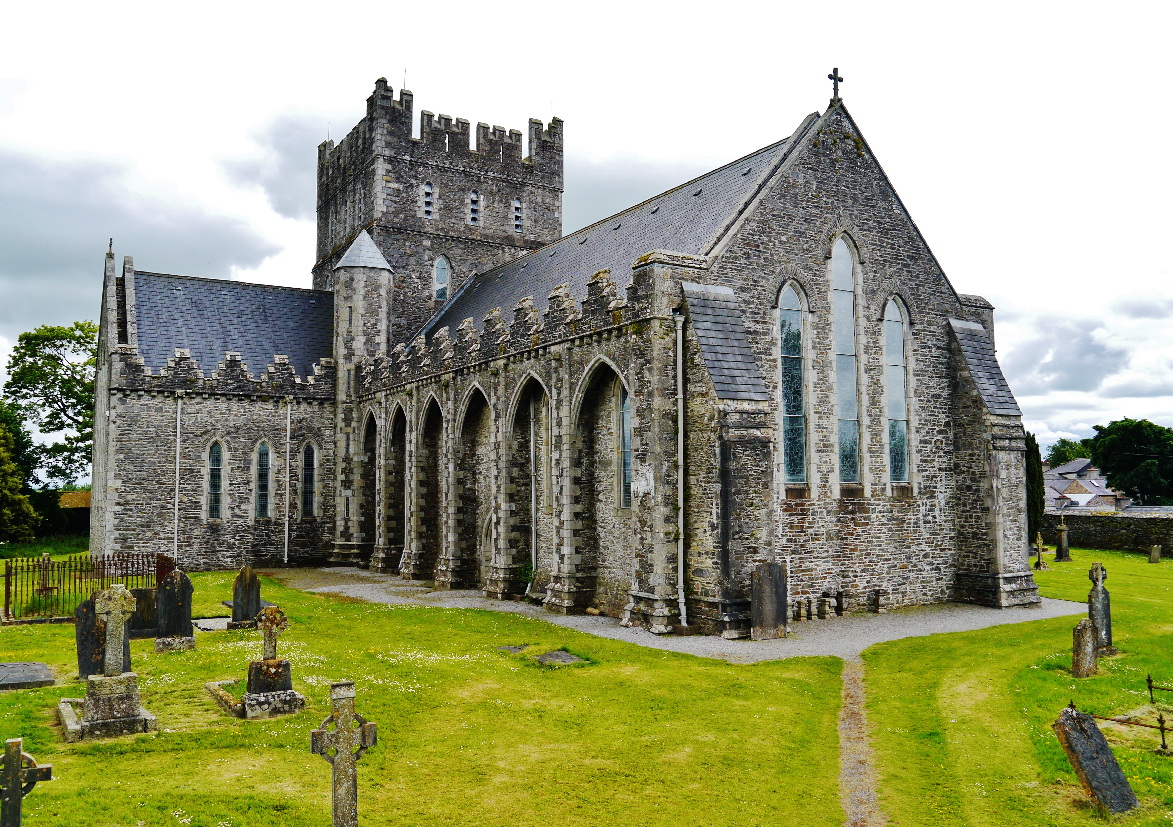
Doneyloop (), sometimes spelt Dunnyloop or Dunnaloob, is a townland and hamlet near Castlefin in the Finn Valley of east County Donegal in Ireland. It is located on the Urney Road in the civil parish of Urney. The village of Clady, County Tyrone, in Northern Ireland, is nearby. Dunnaloob townland is in the electoral division of Urney West. History Saint Bridget's holy well, located at Cormakilly near Donneyloop, is a religious site historically associated with Saint Bridget. St. Columba's Church, located at Dunnaloob in Urney West, is a Catholic church built in 1868 and designed by John O'Neill. It is within the Roman Catholic Diocese of Derry The Diocese of Derry (; ) is a Latin Church diocese of the Catholic Church which straddles the international frontier between the Republic of Ireland and Northern Ireland. It is in the ecclesiastical province of Armagh. The diocese was establish ... and is part of the Urney and Castlefin parish along with Saint Mary's Church in Ca ... [...More Info...] [...Related Items...] OR: [Wikipedia] [Google] [Baidu] |
Castlefin
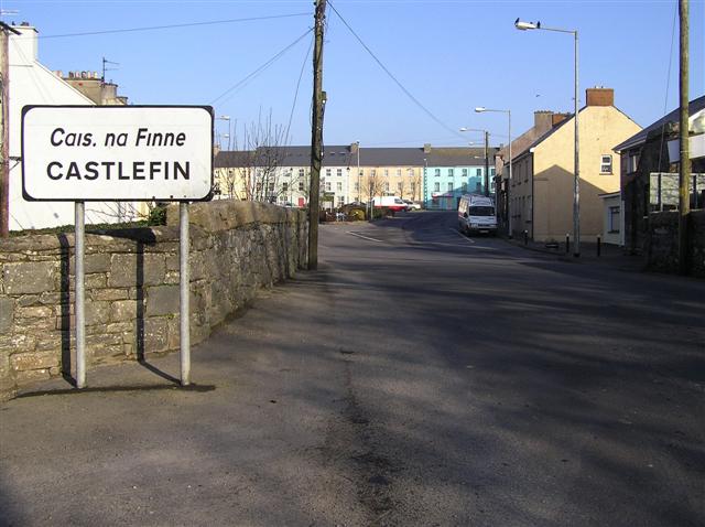
Castlefin (), sometimes spelt Castlefinn, is a market town and townland in the Finn Valley of County Donegal, Ireland. It is located between Stranorlar and Lifford in East Donegal. , the population was 730. The River Finn flows by the town. The town is located in along the main N15 national primary road, which runs from Bundoran to Lifford. The town lies 6 miles from Lifford and 8 miles from the twin towns of Ballybofey and Stranorlar. It has close links to Letterkenny, to the twin towns of Ballybofey and Stranorlar, and to West Tyrone in Northern Ireland, especially with the towns of Strabane and Castlederg. Amenities The five housing estates in the town are called the Emmett Park built in the 1980s Sessaigh Park built in the 2000s, Caislean Court built in the 1990s, Hillhead built in the 1970s and Grahamsland built in the 1950s. The town centre is located around the Diamond area, which is where three routes merge. The Diamond has landscaped seating and planting areas, a ... [...More Info...] [...Related Items...] OR: [Wikipedia] [Google] [Baidu] |
Ireland
Ireland (, ; ; Ulster Scots dialect, Ulster-Scots: ) is an island in the North Atlantic Ocean, in Northwestern Europe. Geopolitically, the island is divided between the Republic of Ireland (officially Names of the Irish state, named Irelanda sovereign state covering five-sixths of the island) and Northern Ireland (part of the United Kingdomcovering the remaining sixth). It is separated from Great Britain to its east by the North Channel (Great Britain and Ireland), North Channel, the Irish Sea, and St George's Channel. Ireland is the List of islands of the British Isles, second-largest island of the British Isles, the List of European islands by area, third-largest in Europe, and the List of islands by area, twentieth-largest in the world. As of 2022, the Irish population analysis, population of the entire island is just over 7 million, with 5.1 million in the Republic of Ireland and 1.9 million in Northern Ireland, ranking it the List of European islands by population, ... [...More Info...] [...Related Items...] OR: [Wikipedia] [Google] [Baidu] |
Northern Ireland
Northern Ireland ( ; ) is a Countries of the United Kingdom, part of the United Kingdom in the north-east of the island of Ireland. It has been #Descriptions, variously described as a country, province or region. Northern Ireland shares Republic of Ireland–United Kingdom border, an open border to the south and west with the Republic of Ireland. At the 2021 United Kingdom census, 2021 census, its population was 1,903,175, making up around 3% of the Demographics of the United Kingdom#Population, UK's population and 27% of the population on the island of Ireland#Demographics, Ireland. The Northern Ireland Assembly, established by the Northern Ireland Act 1998, holds responsibility for a range of Devolution, devolved policy matters, while other areas are reserved for the Government of the United Kingdom, UK Government. The government of Northern Ireland cooperates with the government of Ireland in several areas under the terms of the Good Friday Agreement. The Republic of Ireland ... [...More Info...] [...Related Items...] OR: [Wikipedia] [Google] [Baidu] |
Church Hall, Doneyloop - Geograph
Church may refer to: Religion * Church (building), a place/building for Christian religious activities and praying * Church (congregation), a local congregation of a Christian denomination * Church service, a formalized period of Christian communal worship * Christian denomination, a Christian organization with distinct doctrine and practice * Christian Church, either the collective body of all Christian believers, or early Christianity Places United Kingdom * Church, a former electoral ward of Kensington and Chelsea London Borough Council Kensington and Chelsea London Borough Council, also known as Kensington and Chelsea Council, is the local authority for the Royal Borough of Kensington and Chelsea in Greater London, England. It is a London borough council, one of 32 in London. ... that existed from 1964 to 2002 * Church (Liverpool ward), a Liverpool City Council ward * Church (Reading ward), a Reading Borough Council ward * Church (Sefton ward), a Metropolitan Borough of ... [...More Info...] [...Related Items...] OR: [Wikipedia] [Google] [Baidu] |
Roman Catholic Diocese Of Derry
The Diocese of Derry (; ) is a Latin Church diocese of the Catholic Church which straddles the international frontier between the Republic of Ireland and Northern Ireland. It is in the ecclesiastical province of Armagh. The diocese was established in the year 1158. The diocese consists of almost fifty parishes and some number of religious congregations have houses in various parts of the diocese. The Cathedral Church of the diocese is St Eugene's Cathedral. Nearby is St Columba's Church, Long Tower. Schools in the Diocese Schools in the diocese include: St Columb's College, Thornhill College, St Joseph's Boys' School, Lumen Christi College. Adult Faith Development As part of their adult faith development, the diocese runs the Diploma in Pastoral Theology validated by St. Patrick's College, Maynooth, from the ''Drumalis Retreat Centre''. The ''Derry Diocese Catechetical Centre'' in conjunction with St Mary's University, Twickenham offer a Masters in Catholic School Leaders ... [...More Info...] [...Related Items...] OR: [Wikipedia] [Google] [Baidu] |
Brigid Of Kildare
Saint Brigid of Kildare or Saint Brigid of Ireland (; Classical Irish: ''Brighid''; ; ) is the patroness saint (or 'mother saint') of Ireland, and one of its three national saints along with Patrick and Columba. According to medieval Irish hagiographies, she was an abbess who founded the important abbey of Kildare (''Cill Dara''), as well as several other convents of nuns. There are few documented historical facts about her, and her hagiographies are mainly anecdotes and miracle tales, some of which are rooted in pagan folklore.Farmer, David. ''The Oxford Dictionary of Saints'' (Fifth Edition, Revised). Oxford University Press, 2011. pp.66–67, 467–470. They say Brigid was the daughter of an Irish clan chief and an enslaved Christian woman, and was fostered in a druid's household before becoming a consecrated virgin. She is patroness of many things, including poetry, learning, healing, protection, blacksmithing, livestock, and dairy production. In her honour, a perpet ... [...More Info...] [...Related Items...] OR: [Wikipedia] [Google] [Baidu] |
Holy Well
A holy well or sacred spring is a well, Spring (hydrosphere), spring or small pool of water revered either in a Christianity, Christian or Paganism, pagan context, sometimes both. The water of holy wells is often thought to have healing qualities, through the numen, numinous presence of its guardian spirit or Christian saint. They often have local legends associated with them; for example in Christian mythology, Christian legends, the water is often said to have been made to flow by the action of a saint. Holy wells are often also places of ritual and pilgrimage, where people Prayer, pray and leave votive offerings. In Celtic nations, Celtic regions, strips of cloth are often tied to trees at holy wells, known as clootie wells. Names The term ''haeligewielle'' is in origin an Old English language, Anglo-Saxon toponym attached to specific springs in the landscape; its current use has arisen through folklore scholars, antiquarians, and other writers generalising from those actual ' ... [...More Info...] [...Related Items...] OR: [Wikipedia] [Google] [Baidu] |
Electoral Division (Ireland)
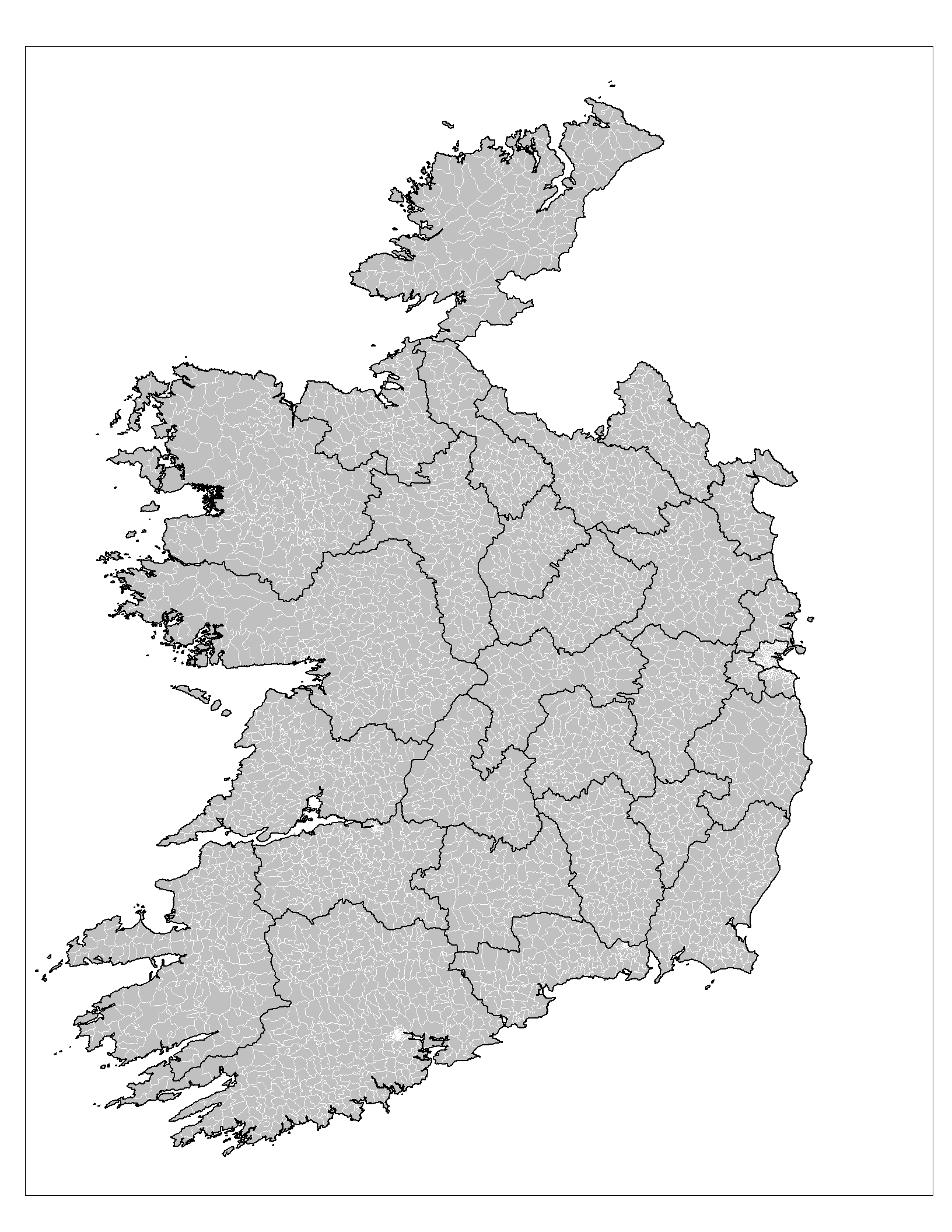
An electoral division (ED, ) is a legally defined administrative area in the Republic of Ireland, generally comprising multiple townlands, and formerly a subdivision of urban and rural districts. Until 1996, EDs were known as district electoral divisions (DEDs, ) in the 29 county council areas and wards in the five county boroughs. Until 1972, DEDs also existed in Northern Ireland. The predecessor poor law electoral divisions were introduced throughout the island of Ireland in the 1830s. The divisions were used as local-government electoral areas until 1919 in what is now the Republic and until 1972 in Northern Ireland. History until partition Electoral divisions originated under the Poor Relief (Ireland) Act 1838 as "poor law electoral divisions": electoral divisions of a poor law union (PLU) returning one or more members to the PLU's board of guardians. The boundaries of these were drawn by Poor Law Commissioners, with the intention of producing areas roughly equivalent ... [...More Info...] [...Related Items...] OR: [Wikipedia] [Google] [Baidu] |
Clady, County Tyrone
Clady () is a small village and townland in County Tyrone, Northern Ireland. It lies about 4 miles from Strabane on the River Finn and borders the Republic of Ireland. In the 2011 Census it had a population of 538 people. This article contains quotations from this source, which is available under th Open Government Licence v3.0 © Crown copyright. It is within Urney civil parish and the former barony of Strabane Lower. In local government it is part of the Derry City and Strabane District Council. The townland covers an area of 173 acres. History The village is one of the oldest in the district. The village is referred to as Claudy in Samuel Lewis' Topographical Dictionary of Ireland, but early and later works attribute the name, Clady, distinguishing it from Claudy in County Londonderry. Next to the village is an important passage over the River Finn, one of the "passes", which controlled the access to Derry from the south and east in the times when the ferry at Drry wa ... [...More Info...] [...Related Items...] OR: [Wikipedia] [Google] [Baidu] |
Ulster
Ulster (; or ; or ''Ulster'') is one of the four traditional or historic provinces of Ireland, Irish provinces. It is made up of nine Counties of Ireland, counties: six of these constitute Northern Ireland (a part of the United Kingdom); the remaining three are in the Republic of Ireland. It is the second-largest (after Munster) and second-most populous (after Leinster) of Ireland's four traditional provinces, with Belfast being its biggest city. Unlike the other provinces, Ulster has a high percentage of Protestantism in Ireland, Protestants, making up almost half of its population. English is the main language and Ulster English the main dialect. A minority also speak Irish, and there are (Irish-speaking regions) in County Donegal which is home to a quarter of the total Gaeltacht population of the Republic of Ireland. There are also large Irish-speaking networks in southern County Londonderry and in the Gaeltacht Quarter, Belfast. Ulster Scots dialect, Ulster-Scots is al ... [...More Info...] [...Related Items...] OR: [Wikipedia] [Google] [Baidu] |
Civil Parishes In Ireland
Civil parishes () are units of territory in the island of Ireland that have their origins in old Gaelic territorial divisions. They were adopted by the Anglo-Norman Lordship of Ireland and then by the Elizabethan Kingdom of Ireland, and were formalised as land divisions at the time of the Plantations of Ireland. They no longer correspond to the boundaries of Roman Catholic or Church of Ireland parishes, which are generally larger. Their use as administrative units was gradually replaced by Poor_law_union#Ireland, Poor Law Divisions in the 19th century, although they were not formally abolished. Today they are still sometimes used for legal purposes, such as to locate property in deeds of property registered between 1833 and 1946. Origins The Irish parish was based on the Gaelic territorial unit called a ''túath'' or ''Trícha cét''. Following the Norman invasion of Ireland, the Anglo-Normans, Anglo-Norman barons retained the ''tuath'', later renamed a parish or manor, as a un ... [...More Info...] [...Related Items...] OR: [Wikipedia] [Google] [Baidu] |


