|
Devonport, New Zealand
Devonport ( ) is a harbourside suburb of Auckland, New Zealand. It is located on the North Shore, New Zealand, North Shore, at the southern end of the Devonport Peninsula that runs southeast from near Lake Pupuke in Takapuna, forming the northern side of the Waitematā Harbour. East of Devonport lies North Head, New Zealand, North Head, the northern promontory guarding the mouth of the harbour. The suburb hosts the Devonport Naval Base of the Royal New Zealand Navy, the main facility for the country's naval vessels, but is also known for its harbourside dining and drinking establishments and its heritage charm. Devonport has been compared to Sausalito, California, US due to its setting and scenery.In Auckland, Life Is Alfresco' – ''The New York Times'', 5 October 1997 Etymology Devonport is named after the English naval town of Devonport, Devon, Devonport.Wises New Zealand Guide, 7th Edition, 1979. Page 83 Eastern Devonport is known as Cheltenham, named after the English ... [...More Info...] [...Related Items...] OR: [Wikipedia] [Google] [Baidu] [Amazon] |
Mount Victoria, Auckland
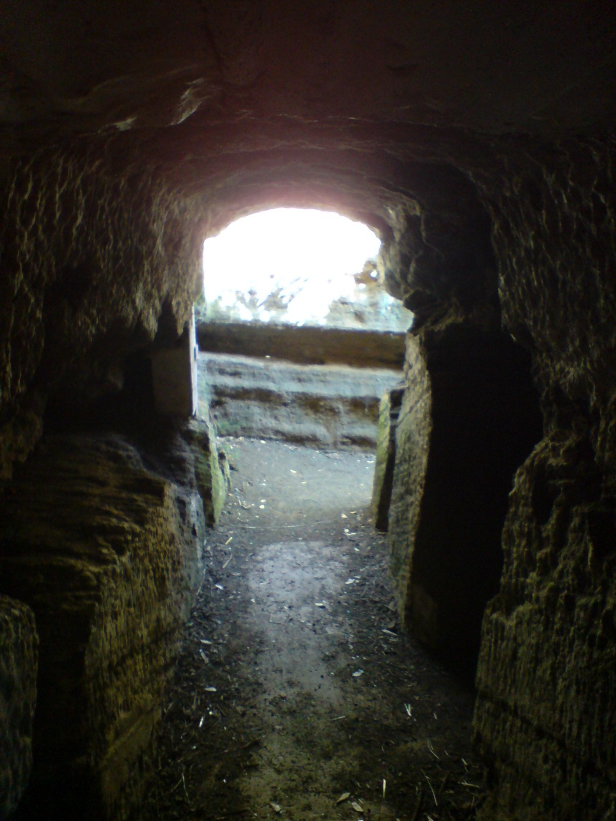
Takarunga / Mount Victoria is the highest volcano on Auckland's North Shore, rising to 66 metres in elevation. Its age is currently unknown. Its lava flows now line much of Devonport's waterfront. Takarunga was the location of an important pā used by Tāmaki Māori peoples. In the late 19th century, a gun fort was built on top of the hill, in order to defend the city of Auckland. As a designated tūpuna maunga, the mountain has been governed by the Tūpuna Maunga Authority, along with thirteen other cones throughout Auckland, since 2014. Geography The hill provides panoramic views of Auckland's Waitematā Harbour and the inner Hauraki Gulf. Over the years the peak and upper slopes have housed a signal station for shipping, artillery emplacements, farmland, and various concrete army bunkers, some from as early as the 1870s. One bunker now serves as the venue for the Devonport Folk Music Club. The slopes of Takarunga / Mount Victoria are also home to Devonport Primary ... [...More Info...] [...Related Items...] OR: [Wikipedia] [Google] [Baidu] [Amazon] |
Royal New Zealand Navy
The Royal New Zealand Navy (RNZN; ) is the maritime arm of the New Zealand Defence Force. The fleet currently consists of eight ships. The Navy had its origins in the Naval Defence Act 1913, and the subsequent acquisition of the cruiser , which by 1921 had been moored in Auckland as a training ship. A slow buildup occurred during the interwar period, and then in December 1939 fought alongside two other Royal Navy cruisers at the Battle of the River Plate against the German ship, ''German cruiser Admiral Graf Spee, Graf Spee''. History Pre–World War I The first recorded maritime combat activity in New Zealand occurred off the northern tip of the South Island in December 1642. Māori people, Māori in Waka (canoe), war canoes attacked and killed four seamen from Abel Tasman's party, who were at the time in low boats between the main ships. The New Zealand Navy did not exist as a separate military force until 1941. The association of the Royal Navy with New Zealand began ... [...More Info...] [...Related Items...] OR: [Wikipedia] [Google] [Baidu] [Amazon] |
Tainui Landing Memorial
Tainui is a tribal waka confederation of New Zealand Māori iwi. The Tainui confederation comprises four principal related Māori iwi of the central North Island of New Zealand: Hauraki, Ngāti Maniapoto, Ngāti Raukawa and Waikato. There are other Tainui iwi whose tribal areas lay outside the traditional Tainui boundaries – Ngāi Tai in the Auckland area, Ngāti Raukawa ki Te Tonga and Ngāti Toa in the Horowhenua, Kāpiti region, and Ngāti Rārua and Ngāti Koata in the northern South Island. History Early history The Tainui iwi share a common ancestry from Polynesian migrants who arrived in New Zealand on the ''Tainui'' waka, which voyaged across the Pacific Ocean from Hawaiki to Aotearoa (North Island) approximately 800 years ago. According to Pei Te Hurinui Jones, a Tainui historian, Tainui first entered the Waikato around the year 1400 bringing with them kumara plants. By the end of the seventeenth century, Tainui had conquered much of the Waikato region following ... [...More Info...] [...Related Items...] OR: [Wikipedia] [Google] [Baidu] [Amazon] |
Duders Hill
Duders Hill (also Takamaiiwaho) was a 20 metre high scoria mound located on the Devonport, New Zealand, Devonport coast, on the lower south-east slopes of Mount Victoria, Auckland, Takarunga / Mount Victoria, in the Auckland volcanic field. It was mostly quarried away in the early 20th century Geology The hill is thought to have been a section of Mount Victoria's upper scoria cone which was rafted downslope with lava flows. References *''City of Volcanoes: A geology of Auckland'' - Searle, Ernest J.; revised by Mayhill, R.D.; Longman Paul, 1981. First published 1964. . *''Volcanoes of Auckland: The Essential guide'' - Hayward, B.W., Murdoch, G., Maitland, G.; Auckland University Press, 2011. External links View of Duders Hill around 1879-1884 1880s view of Duders Hill. held in Auckland Libraries, Auckland Libraries' heritage collections. Auckland volcanic field Devonport, New Zealand {{Auckland-geo-stub ... [...More Info...] [...Related Items...] OR: [Wikipedia] [Google] [Baidu] [Amazon] |
Mount Cambria
Mount Cambria (also Sheep Hill or Taka-a-raro / Takararo) is one of the volcanoes in the Auckland volcanic field. Located in the suburb of Devonport north-east of Mt Victoria, its 30-metre scoria cone was quarried away. The site is now Cambria Reserve. History The hill was traditionally known as Takararo ("The Hill Standing Below"), contrasting with the larger Takarunga / Mount Victoria ("The Hill Standing Above"). It was named Heaphy Hill after Charles Heaphy by Ferdinand von Hochstetter in 1859, but this name is not used. Cambria is the ancient name for Wales. The hill was quarried between the 1870s and 1977, initially by private contractors and later by the Devonport Borough Council. Notes References * ''City of Volcanoes: A geology of Auckland'' - Searle, Ernest J.; revised by Mayhill, R.D.; Longman Paul, 1981. First published 1964. . * ''Volcanoes of Auckland: The Essential guide'' - Hayward, B.W., Murdoch, G., Maitland, G.; Auckland University Press, 2011. *''Volc ... [...More Info...] [...Related Items...] OR: [Wikipedia] [Google] [Baidu] [Amazon] |
North Head (New Zealand)
North Head (; officially Maungauika and sometimes referred to as Maungauika / North Head) is a volcano and Tūpuna Maunga (ancestral mountain) forming a headland at the east end of the Waitematā Harbour in Auckland, New Zealand, in the suburb of Devonport. Known for its sweeping views over the harbour and the Hauraki Gulf, since 1885 the head was mainly used by the military as a coastal defence installation, which left a network of accessible old bunkers and tunnels as its legacy, forming part of the attraction. The site was protected as part of Hauraki Gulf Maritime Park in 1972 and listed as a List of category 1 historic places in Auckland, Category I historic place in 2001. As part of a 2014 Treaty of Waitangi claim settlement the volcanic cone was officially named Maungauika and the reserve unofficially renamed Maungauika / North Head Historic Reserve. Etymology Maungauika in the Māori language means "The Mountain of Uika", referring to a Tāmaki Māori ancestor tho ... [...More Info...] [...Related Items...] OR: [Wikipedia] [Google] [Baidu] [Amazon] |
Mount Victoria (Auckland)
Takarunga / Mount Victoria is the highest volcano on Auckland's North Shore, rising to 66 metres in elevation. Its age is currently unknown. Its lava flows now line much of Devonport's waterfront. Takarunga was the location of an important pā used by Tāmaki Māori peoples. In the late 19th century, a gun fort was built on top of the hill, in order to defend the city of Auckland. As a designated tūpuna maunga, the mountain has been governed by the Tūpuna Maunga Authority, along with thirteen other cones throughout Auckland, since 2014. Geography The hill provides panoramic views of Auckland's Waitematā Harbour and the inner Hauraki Gulf. Over the years the peak and upper slopes have housed a signal station for shipping, artillery emplacements, farmland, and various concrete army bunkers, some from as early as the 1870s. One bunker now serves as the venue for the Devonport Folk Music Club. The slopes of Takarunga / Mount Victoria are also home to Devonport Primary S ... [...More Info...] [...Related Items...] OR: [Wikipedia] [Google] [Baidu] [Amazon] |
Auckland Volcanic Field
The Auckland volcanic field is an area of monogenetic volcanoes covered by much of the metropolitan area of Auckland, New Zealand's largest city, located in the North Island. The approximately 53 volcanoes in the field have produced a diverse array of maars (explosion craters), tuff rings, scoria cones, and lava flows. With the exception of Rangitoto, no volcano has erupted more than once, but the other eruptions lasted for various periods ranging from a few weeks to several years. Rangitoto erupted several times and recently twice; in an eruption that occurred about 600 years ago, followed by a second eruption approximately 50 years later. The field is fuelled entirely by basaltic magma, unlike the explosive subduction-driven volcanism in the central North Island, such as at Mount Ruapehu and Lake Taupō. Features The field ranges from Lake Pupuke and Rangitoto Island in the north to Matukutururu (Wiri Mountain) in the south, and from Mount Albert in the west to Pig ... [...More Info...] [...Related Items...] OR: [Wikipedia] [Google] [Baidu] [Amazon] |
Toitū Te Whenua Land Information New Zealand
Land Information New Zealand (LINZ; ) is the public service department of New Zealand charged with geographical information and surveying functions as well as handling land titles, and managing Crown land and property. The minister responsible is the Minister for Land Information, and was formerly the Minister of Survey and Land Information. LINZ was established in 1996 following the restructure of the Department of Survey and Land Information (DOSLI), which was itself one of the successor organisations to the Department of Lands and Survey. The New Zealand Geographic Board secretariat is part of LINZ and provides the Board with administrative and research assistance and advice. The Minister for Land Information is Chris Penk. Gaye Searancke was appointed Chief Executive of Land Information New Zealand in August 2019. She succeeded Andrew Crisp, who had been in the post since 2016. Nature and scope of functions LINZ's purpose is to: *Maintain and build confidence in property ... [...More Info...] [...Related Items...] OR: [Wikipedia] [Google] [Baidu] [Amazon] |
Hauraki Gulf
The Hauraki Gulf / Tīkapa Moana is a coastal feature of the North Island of New Zealand. It has an area of 4000 km2, Zeldisl, J. R. et al. (1995) Salp grazing: effects on phytoplankton abundance, vertical distribution and taxonomic composition in a coastal habitat. Marine Ecology Progress Series, Vol. 126, p 267-283 and lies between, in anticlockwise order, the , the Hauraki Plains, the Coromandel Peninsula, and |
Cheltenham
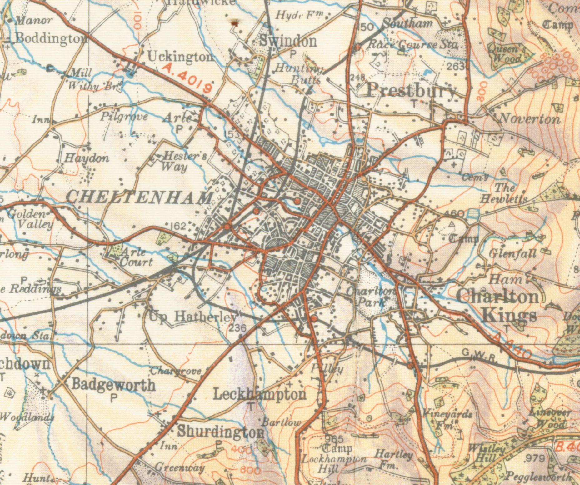
Cheltenham () is a historic spa town and borough adjacent to the Cotswolds in Gloucestershire, England. Cheltenham became known as a health and holiday spa town resort following the discovery of mineral springs in 1716, and claims to be the most complete Regency era, Regency town in United Kingdom, Britain. It is directly northeast of Gloucester. The town hosts several cultural festivals, often featuring nationally and internationally famous contributors and attendees: the Cheltenham Literature Festival, the Cheltenham Jazz Festival, the Cheltenham Science Festival, the Cheltenham Music Festival, the Cheltenham International Film Festival, the Cheltenham Cricket Festival and the Cheltenham Food & Drink Festival. In steeplechase (horse racing), steeplechase horse racing, the Cheltenham Gold Cup, Gold Cup is the main event of the Cheltenham Festival held every March. It is also home to a number of leading independent schools, including Cheltenham College and Cheltenham Ladies' Co ... [...More Info...] [...Related Items...] OR: [Wikipedia] [Google] [Baidu] [Amazon] |


