|
Dera Ismail Khan District
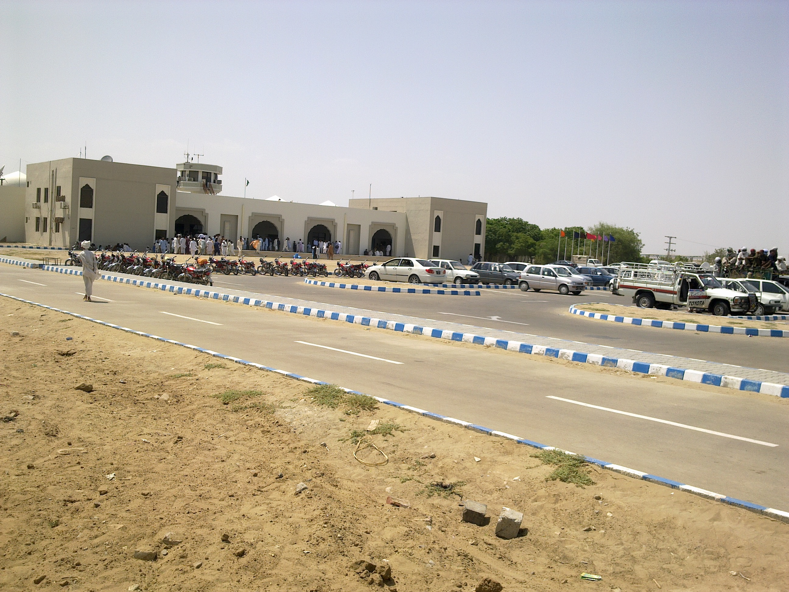
Dera Ismail Khan District (Urdu and , ), often abbreviated as D.I. Khan is a district in the Dera Ismail Khan division of the Khyber Pakhtunkhwa province of Pakistan. The capital of the district is the town of Dera Ismail Khan. The district has an area of and a population of 1,822,916 as of the 2023 Census. After the Second Anglo-Sikh war in 1849 the district was annexed by the British as part of the Punjab and remained so until 1901 when the North West Frontier Province or NWFP (now renamed as Khyber Pakhtunkhwa) was created. Geography The district of Dera Ismail Khan is bounded on the North east by the Bhakkar and Dera Ghazi Khan districts of Punjab. Eastern portions of the district along the Indus river are characterized by fertile alluvial plains, while lands farther from the river consist of clay soil cut by ravines from rainfall. The district is bounded on the southwest by a thin strip of the South Waziristan district, which separates D.I Khan from the Koh-e-Sulaiman ... [...More Info...] [...Related Items...] OR: [Wikipedia] [Google] [Baidu] [Amazon] |
List Of Districts In Khyber Pakhtunkhwa
The province of Khyber Pakhtunkhwa, the third-largest province of Pakistan by population and the smallest province by area, is divided into 38 Districts of Pakistan, districts and seven Divisions of Pakistan, divisions. Below, you will find a detailed overview of the history of Khyber Pakhtunkhwa's districts and divisions, a map showing each district, the divisions of Khyber Pakhtunkhwa and their districts, and a list showing each district's name, the division the district belongs to, the district's area, the location of the district's headquarters, the district's population and population density (in 2017), the average annual population growth rate of each district (between 1998 and 2017), and a map showing each district's location. History 1901 to 2010 Districts have formed an integral part of civil administration in the subcontinent since colonial times. When the North-West Frontier Province (the former name of Khyber Pakhtunkhwa) formed in November 1901, it was divide ... [...More Info...] [...Related Items...] OR: [Wikipedia] [Google] [Baidu] [Amazon] |
Government Of Khyber Pakhtunkhwa
The Government of Khyber Pakhtunkhwa (; ), is the provincial government of the Administrative units of Pakistan, Pakistani province of Khyber Pakhtunkhwa. Its powers and structure are set out in the provisions of the Constitution of Pakistan, 1973 Constitution, in which Districts of Pakistan#Khyber Pakhtunkhwa, 32 districts come under its authority and jurisdiction. The government includes the cabinet, selected from members the Khyber Pakhtunkhwa Assembly, and the non-political civil staff within each department. The province is governed by a unicameral legislature with the head of government known as the Chief Minister of Khyber Pakhtunkhwa, Chief Minister. The Chief Minister, invariably the leader of a political party represented in the Assembly, selects members of the Cabinet. The Chief Minister and Cabinet are thus responsible the functioning of government and are entitled to remain in office so long as it maintains the confidence of the elected Assembly. The head of the prov ... [...More Info...] [...Related Items...] OR: [Wikipedia] [Google] [Baidu] [Amazon] |
Sulaiman Mountains
The Sulaiman Mountains, also known as Kōh-e Sulaymān, Kasē Ghrūna Da Suleiman Ghruna (Pashto: د كسې غرونه ، د سلیمان غرونه; "Mountains of Qaes/Kasi and Solomon") ( Balochi:; "Mountains of Solomon") are a north–south extension of the southern Hindu Kush mountain system in eastern Afghanistan and western Pakistan. They are also known as Aparanchal Range or Western Mountains (Sanskrit: अपरा; romanised: Aparā; literally: "West"; आंचल; romanised: ānchal; literally: "mountains" or "mountainous region"), as they mark the westernmost boundary of the Indian Subcontinent. They rise to form the eastern edge of the Iranian plateau. They are located in the Kandahar, Zabul and Paktia Provinces of Afghanistan, and in Pakistan they extend over the northern part of Balochistan, Waziristan and Kurram of Khyber Pakhtunkhwa. In southwestern Punjab, the mountains extend into the Dera Ghazi Khan and Rajanpur Districts, which are located west of the Indus R ... [...More Info...] [...Related Items...] OR: [Wikipedia] [Google] [Baidu] [Amazon] |
South Waziristan
South Mahsud Waziristan District () was a Districts of Pakistan, district in the Dera Ismail Khan Division of the Khyber Pakhtunkhwa province of Pakistan, before splitting into the Lower South Waziristan District and the Upper South Waziristan District on 13 April 2022. It covers around 11,585 km2 (4,473 mi2). Waziristan is located in the southwest of Khyber Pakhtunkhwa. It is situated between two rivers, the Tochi River to the north and the Gomal River to the south. The region was an independent tribal territory from 1893, separated from both Afghanistan and the United Kingdom, British-ruled empire in the subcontinent. Raiding the tribal areas was a constant problem for the British, requiring frequent punitive expeditions between 1860 and 1945. Troops of the British Raj coined a name for this region "Hell's Door Knocker" in recognition of the fearsome reputation of the local fighters and inhospitable terrain. The district headquarter of the South Waziristan district is ... [...More Info...] [...Related Items...] OR: [Wikipedia] [Google] [Baidu] [Amazon] |
Alluvial
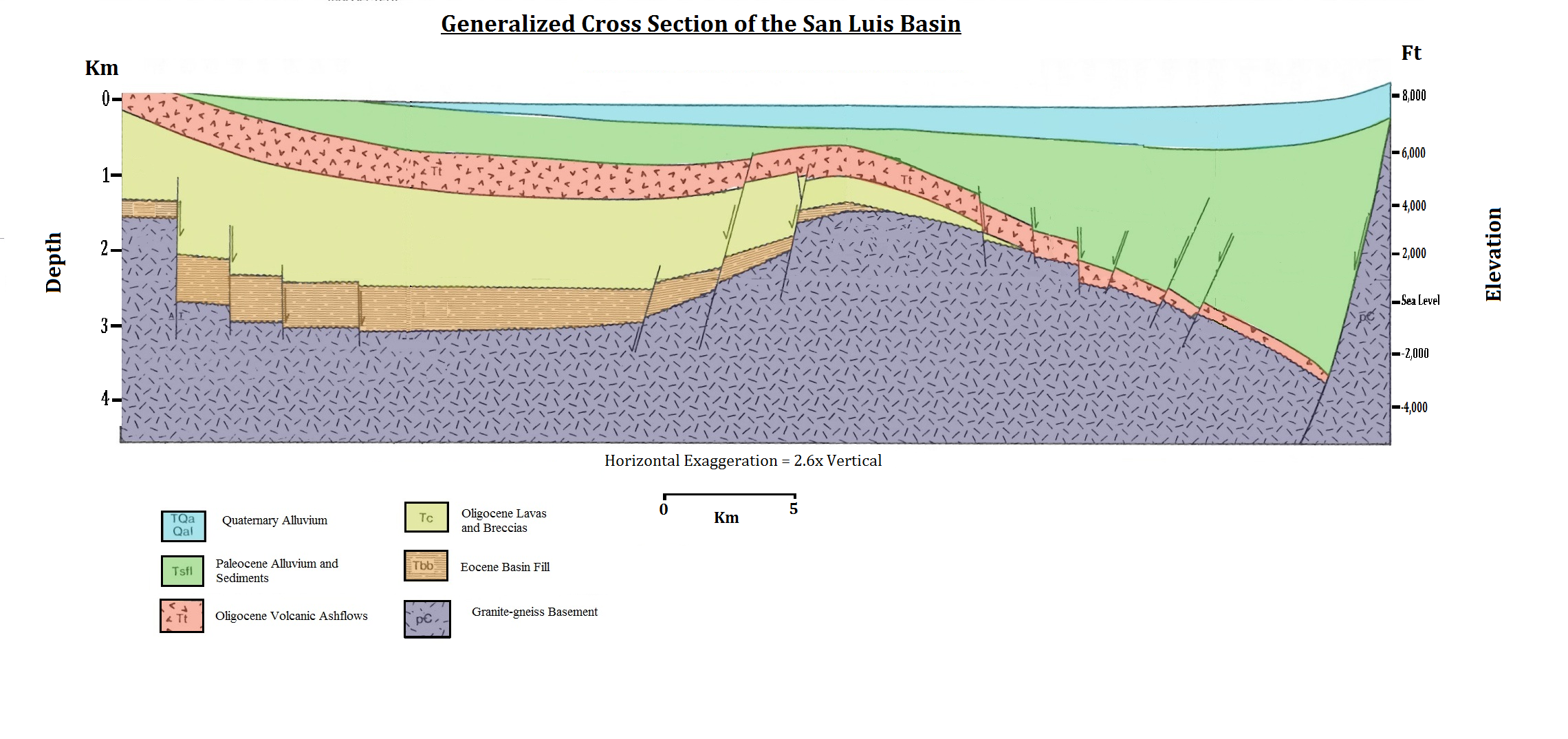
Alluvium (, ) is loose clay, silt, sand, or gravel that has been deposited by running water in a stream bed, on a floodplain, in an alluvial fan or beach, or in similar settings. Alluvium is also sometimes called alluvial deposit. Alluvium is typically geologically young and is not consolidated into solid rock. Sediments deposited underwater, in seas, estuaries, lakes, or ponds, are not described as alluvium. Floodplain alluvium can be highly fertile, and supported some of the earliest human civilizations. Definitions The present consensus is that "alluvium" refers to loose sediments of all types deposited by running water in floodplains or in alluvial fans or related landforms. However, the meaning of the term has varied considerably since it was first defined in the French dictionary of Antoine Furetière, posthumously published in 1690. Drawing upon concepts from Roman law, Furetière defined '' alluvion'' (the French term for alluvium) as new land formed by deposition ... [...More Info...] [...Related Items...] OR: [Wikipedia] [Google] [Baidu] [Amazon] |
Punjab, Pakistan
Punjab (, ) is a Administrative units of Pakistan, province of Pakistan. With a population of over 127 million, it is the Demographics of Pakistan, most populous province in Pakistan and the List of first-level administrative divisions by population, second most populous subnational polity in the world. Located in the Geography of Pakistan, central-eastern region of the country, it has the #Economy, largest economy, contributing the most to Economy of Pakistan, national GDP in Pakistan. Lahore is the capital and largest city of the province. Other major cities include Faisalabad, Rawalpindi, Gujranwala and Multan. It is bordered by the Pakistani provinces of Khyber Pakhtunkhwa to the north-west, Balochistan, Pakistan, Balochistan to the south-west and Sindh to the south, as well as Islamabad Capital Territory to the north-west and Azad Kashmir to the north. It shares an India-Pakistan border, international border with the Indian states of Rajasthan and Punjab, India, Punjab to ... [...More Info...] [...Related Items...] OR: [Wikipedia] [Google] [Baidu] [Amazon] |
Dera Ghazi Khan District
Dera Ghazi Khan (, Punjabi language, Punjabi: ) is a Districts of Pakistan, district in Punjab, Pakistan. Its administrative capital is Dera Ghazi Khan. The district lies to the west of the Indus River. The Sulaiman Mountains rise to a height of in the north of the district. Popular tourist destinations are Fort Munro, Yek Bhai, Yakbai Hill station and Mubarki Top. Administration The district is divided into two tehsils which are divided into a total of sixty Union Councils of Pakistan, Union Councils: History The region around Dera Ghazi Khan was inhabited by Mallian people, Mallian people in late antiquity. Then it was part of the wider Multan region. Buddhist artifacts dating to the 1st to 3rd centuries CE have been found in Dillu Roy in Kot Chhutta tehsil. The town of Dera Ghazi Khan was founded at the close of the 15th century and named after Ghazi Khan, Nawab Ghazi Khan Mirani, son of Nawab Haji Khan Mirani, the city was founded when Shah Hussain of the Langah Su ... [...More Info...] [...Related Items...] OR: [Wikipedia] [Google] [Baidu] [Amazon] |
Bhakkar District
Bhakkar District (), is a district in the province of Punjab, Pakistan. The district was created out of parts of Mianwali in 1982, and has the city of Bhakkar as its headquarters. Part of its area consists of a riverine tract along the Indus, called Kaccha, while most of the district area lies in the desolate plain of the Thal Desert. Located in the west of the Punjab province, Bhakkar district is bordered by Layyah to the south, Jhang to the southeast, Dera Ismail Khan to the west, Khushab to the northeast, and Mianwali to the north. Administration The district is administratively divided into four Tehsils and 64 Union Councils. The Tehsils are: Khansar Union Council is one of the major Union Councils in Bhakkar. Mari Shah Sakhira Union Council is very close to Bhakkar District boundary. Demographics Population As of the 2023 census, Bhakkar district has 313,311 households and a population of 1,957,470. The district has a sex ratio of 108.00 males to 100 fe ... [...More Info...] [...Related Items...] OR: [Wikipedia] [Google] [Baidu] [Amazon] |
North-West Frontier Province
The North-West Frontier Province (NWFP; ) was a province of British India from 1901 to 1947, of the Dominion of Pakistan from 1947 to 1955, and of the Pakistan, Islamic Republic of Pakistan from 1970 to 2010. It was established on 9 November 1901 from the north-western districts of the Punjab Province (British India), British Punjab, during the British Raj. Following the 1947 North-West Frontier Province referendum, referendum in 1947 to join either Pakistan or India, the province voted hugely in favour of joining Dominion of Pakistan, Pakistan and it acceded accordingly on 14 August 1947. It was dissolved to form a unified province of West Pakistan in 1955 upon promulgation of One Unit Scheme and was reestablished in Legal Framework Order, 1970, 1970. It was known by this name until 19 April 2010, when it was dissolved and redesignated as the province of Khyber Pakhtunkhwa following the enactment of the Eighteenth Amendment to the Constitution of Pakistan, Eighteenth Amendmen ... [...More Info...] [...Related Items...] OR: [Wikipedia] [Google] [Baidu] [Amazon] |
Second Anglo-Sikh War
The Second Anglo-Sikh War was a military conflict between the Sikh Empire and the East India Company which took place from 1848 to 1849. It resulted in the fall of the Sikh Empire, and the annexation of the Punjab region, Punjab and what subsequently became the North-West Frontier Province, by the East India Company. On 19 April 1848, Patrick Alexander Vans Agnew, Patrick Vans Agnew of the civil service and Lieutenant William Anderson of the Bombay European regiment, having been sent to take charge of Multan from Diwan Mulraj Chopra, were murdered there; within a short time, the Sikh troops joined in open rebellion. Governor-General of India James Broun-Ramsay, 1st Marquess of Dalhousie, Lord Dalhousie agreed with Hugh Gough, 1st Viscount Gough, Sir Hugh Gough, the commander-in-chief, that the British East India Company's military forces were neither adequately equipped with transport and supplies, nor otherwise prepared to take the field immediately. He also foresaw the spre ... [...More Info...] [...Related Items...] OR: [Wikipedia] [Google] [Baidu] [Amazon] |
Districts Of Pakistan
The districts of Pakistan () are the third-level administrative divisions of Pakistan, below administrative units of Pakistan, provinces and divisions of Pakistan, divisions, but forming the first-tier of local government in Pakistan, local government. In total, there are 169 districts in Pakistan, including 10 districts in list of districts in Azad Kashmir, Azad Kashmir and 14 districts in list of districts in Gilgit-Baltistan, Gilgit-Baltistan., excluding Islamabad Capital Territory. These districts are further divided into ''list of tehsils in Pakistan, tehsils and union councils of Pakistan, union councils''. History In 1947, when Pakistan gained independence there were 124 districts. In 1969, 2 new districts (Tangail and Patuakhali) in East Pakistan were formed, bringing the total to 126. With the Independence of Bangladesh, Pakistan lost 20 of its districts and so there were 106 districts. In 2001, the number was reduced to 102 by the merger of the 5 districts of Karach ... [...More Info...] [...Related Items...] OR: [Wikipedia] [Google] [Baidu] [Amazon] |
Urdu
Urdu (; , , ) is an Indo-Aryan languages, Indo-Aryan language spoken chiefly in South Asia. It is the Languages of Pakistan, national language and ''lingua franca'' of Pakistan. In India, it is an Eighth Schedule to the Constitution of India, Eighth Schedule language, the status and cultural heritage of which are recognised by the Constitution of India. Quote: "The Eighth Schedule recognizes India's national languages as including the major regional languages as well as others, such as Sanskrit and Urdu, which contribute to India's cultural heritage. ... The original list of fourteen languages in the Eighth Schedule at the time of the adoption of the Constitution in 1949 has now grown to twenty-two." Quote: "As Mahapatra says: "It is generally believed that the significance for the Eighth Schedule lies in providing a list of languages from which Hindi is directed to draw the appropriate forms, style and expressions for its enrichment" ... Being recognized in the Constitution, ... [...More Info...] [...Related Items...] OR: [Wikipedia] [Google] [Baidu] [Amazon] |


