|
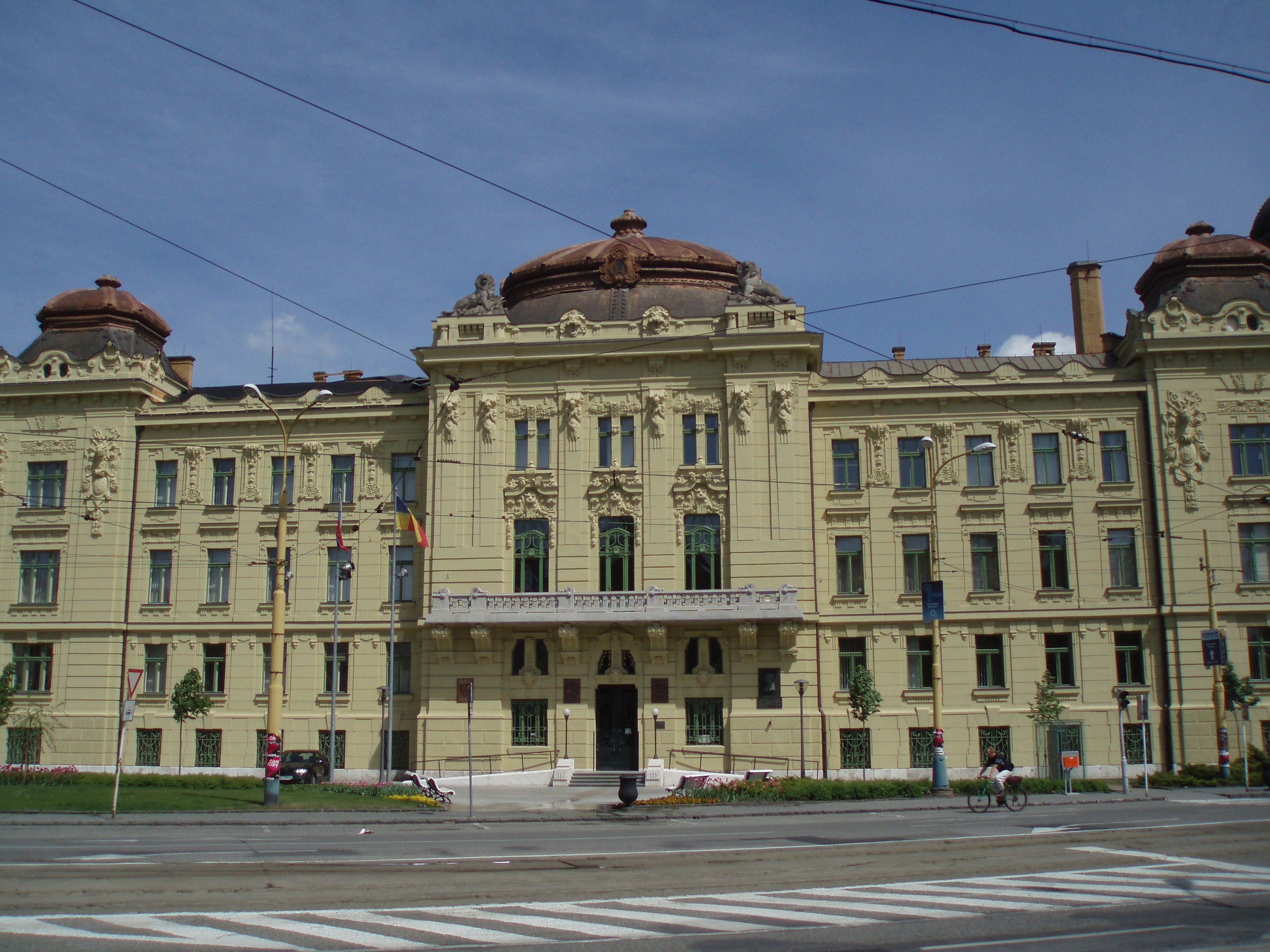
Dargovských Hrdinov
Dargovských hrdinov (literally: "(Borough) of the Dargov Heroes", ), commonly referred to as Furča after the hill it is built upon, is a borough (city ward) of Košice, Slovakia, located in the Košice III district. Located largely on the side of a hill named Furča, the vast majority of the Dargovských hrdinov borough consists of housing, built mainly in the form of panel houses. There are little to no industrial structures or activities in the borough, which is one of the largest residential developments built in Slovakia during the Communist era. History Construction of the microdistrict began in the early 1970s, with the first completed part of the borough officially opening on the 29 June 1976. Currently, there are more than 26,000 people living in the borough. The name of the housing estate and borough was chosen in honour of the combat veterans of the WWII Battle of Dargov Pass, fought over a key regional route in the Slanské Hills to the east of Košice during the ... [...More Info...] [...Related Items...] OR: [Wikipedia] [Google] [Baidu] |
Slovakia
Slovakia, officially the Slovak Republic, is a landlocked country in Central Europe. It is bordered by Poland to the north, Ukraine to the east, Hungary to the south, Austria to the west, and the Czech Republic to the northwest. Slovakia's mostly mountainous territory spans about , hosting a population exceeding 5.4 million. The capital and largest city is Bratislava, while the second largest city is Košice. The Slavs arrived in the territory of the present-day Slovakia in the 5th and 6th centuries. From the late 6th century, parts of modern Slovakia were incorporated into the Pannonian Avars, Avar Khaghanate. In the 7th century, the Slavs played a significant role in the creation of Samo's Empire. When the Avar Khaghanate dissolved in the 9th century, the Slavs established the Principality of Nitra before it was annexed by the Great Moravia, Principality of Moravia, which later became Great Moravia. When Great Moravia fell in the 10th century, the territory was integrated i ... [...More Info...] [...Related Items...] OR: [Wikipedia] [Google] [Baidu] |
Košice Region
The Košice Region (, ; ; ) is one of the eight Slovak administrative regions. The region was first established in 1923 and its present borders were established in 1996. It consists of 11 districts ( okresy) and 440 municipalities, 17 of which have a town status. About one third of the region's population lives in the agglomeration of Košice, which is its main economic and cultural centre. Geography It is located in the southern part of eastern Slovakia and covers an area of 6,752 km2. The western part of the region is composed of the eastern part of the Slovak Ore Mountains, including its subdivisions: Slovak Karst, Slovak Paradise, Volovské vrchy, Čierna hora. The Hornád Basin is located in the northwest. The area between Slovak Ore Mountains and Slanské vrchy is covered by the Košice Basin, named after the city. The area east of Slanské vrchy is covered by the Eastern Slovak Lowland and there is a volcanic range, Vihorlat Mountains, in the northeast, c ... [...More Info...] [...Related Items...] OR: [Wikipedia] [Google] [Baidu] |
Košice III
Košice III () is a district in the Košice Region of eastern Slovakia, in the city of Košice. It is bordered by the Košice I Košice I () is a district in the Košice Region of eastern Slovakia, in the city of Košice Košice is the largest city in eastern Slovakia. It is situated on the river Hornád at the eastern reaches of the Slovak Ore Mountains, near the bord ..., Košice IV and Košice-okolie districts. Until 1918, the district was mostly part of the Hungarian county of Abaúj-Torna. Demographics Boroughs References Districts of Košice Region Geography of Košice {{Košice-geo-stub ... [...More Info...] [...Related Items...] OR: [Wikipedia] [Google] [Baidu] |
Slovak Car Registration Plates
Vehicles registered in Slovakia were generally assigned to one of the districts (''okres'') and from 1997 until 2022, the license plate coding () generally consisted of seven characters and takes the form XX-NNNLL, where XX was a two letter code corresponding to the district, NNN was a three digit number and LL were two additional letters (assigned alphabetically). From January 2023, a new state-wide numbering scheme was introduced, preserving the same layout, but replacing the initial two-letter district code with arbitrary letters of the alphabet (assigned alphabetically, starting with AA). Other changes include new font and a smaller coat of arms. Appearance There are three design varieties that are in valid use. * Between 1 April 1997 and 30 April 2004, the plates contained the Coat of Arms of Slovakia in the top left corner and the country code SK in the bottom left. The two district identifiers were separated from the serials by a dash. * On 1 May 2004, Slovakia joined t ... [...More Info...] [...Related Items...] OR: [Wikipedia] [Google] [Baidu] |
Boroughs And Localities Of Košice
Košice, the second largest city of Slovakia and largest city of east Slovakia, is divided into four national administrative districts (): Košice I, I, Košice II, II, Košice III, III, Košice IV, IV, and into 22 boroughs (; literally: city parts, also translated as (city) districts or wards). These boroughs vary in size and population, from the smallest Džungľa and least populated Lorinčík to the largest Košice-Sever and most populated Košice-Západ. Each of the boroughs has its own mayor and council. The number of councillors in each depends on the size and population of that borough. Mayor and the local council are elected in municipal elections every four years. The boroughs are responsible for issues of local significance such as urban planning, local roads maintenance, budget, local ordinances, parks maintenance, safety and so on. The following table gives an overview of the boroughs, along with the district, population, area, annexation, if applicable, and location w ... [...More Info...] [...Related Items...] OR: [Wikipedia] [Google] [Baidu] |


