|
Chumash People
The Chumash are a Native American people of the central and southern coastal regions of California, in portions of what is now San Luis Obispo, Santa Barbara, Ventura and Los Angeles counties, extending from Morro Bay in the north to Malibu in the south. Their territory included three of the Channel Islands: Santa Cruz, Santa Rosa, and San Miguel; the smaller island of Anacapa was likely inhabited seasonally due to the lack of a consistent water source. Modern place names with Chumash origins include Malibu, Nipomo, Lompoc, Ojai, Pismo Beach, Point Mugu, Port Hueneme, Piru, Lake Castaic, Saticoy, Simi Valley and Somis. Archaeological research demonstrates that the Chumash people have deep roots in the Santa Barbara Channel area and lived along the southern California coast for millennia. History Prior to European contact (pre-1542) Indigenous peoples have lived along the California coast for at least 11,000 years. Sites of the Millingstone Horizon date fro ... [...More Info...] [...Related Items...] OR: [Wikipedia] [Google] [Baidu] |
Chuvash People
The Chuvash people ( , ; cv, чӑваш ; russian: чуваши ) are a Turkic ethnic group, a branch of Oghurs, native to an area stretching from the Volga-Ural region to Siberia. Most of them live in Chuvashia and the surrounding areas, although Chuvash communities may be found throughout the Russian Federation. They speak Chuvash, a unique Turkic language that diverged from other languages in the family more than a millennium ago. Etymology There is no universally accepted etymology of the word ''Chuvash'', but there are three main theories. The popular theory accepted by Chuvash people suggests that ''Chuvash'' is a Shaz-Turkic adaptation of Lir-Turkic ''Suvar'' (Sabir people), an ethnonym of people that are widely considered to be the ancestors of modern Chuvash people. Compare Lir-Turkic Chuvash: ''huran'' to Shaz-Turkic Tatar: ''qazan'' (‘cauldron’). One theory suggests that the word ''Chuvash'' may be derived from Common Turkic ''jăvaš'' ('friendly', 'pea ... [...More Info...] [...Related Items...] OR: [Wikipedia] [Google] [Baidu] |
Channel Islands (California)
The Channel Islands () are an eight-island archipelago located within the Southern California Bight in the Pacific Ocean, off the coast of California. The four Northern Channel Islands are part of the Transverse Ranges geologic province, and the four Southern Channel Islands are part of the Peninsular Ranges province. Five of the islands are within the Channel Islands National Park, and the waters surrounding these islands make up Channel Islands National Marine Sanctuary. The Nature Conservancy was instrumental in establishing the Channel Islands National Marine Sanctuary. The islands were inhabited as early as 13,000 years ago, the earliest paleontological evidence of humans in North America. They are the easternmost islands in the Pacific Island group. The Chumash and Tongva Native Americans who lived later on the islands may be the descendants of the original inhabitants, but they were then displaced by Spaniards who used the islands for fishing and agriculture. The ... [...More Info...] [...Related Items...] OR: [Wikipedia] [Google] [Baidu] |
Saticoy, California
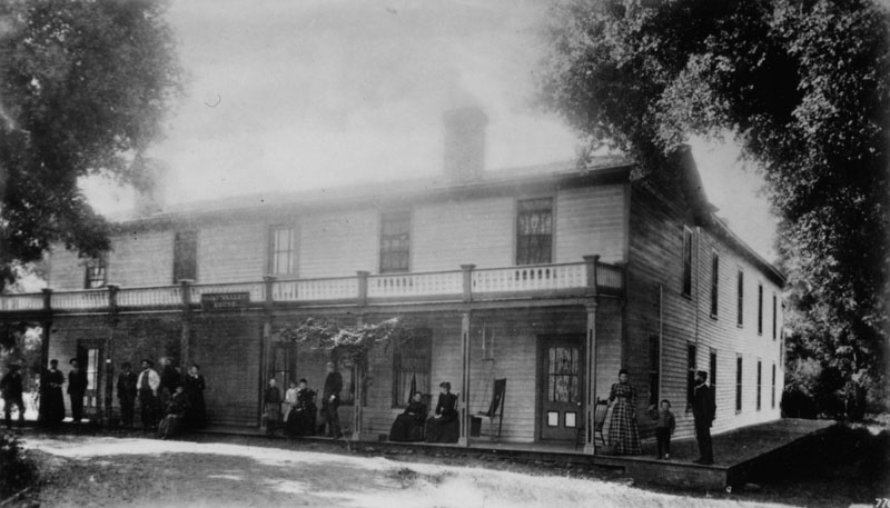
Saticoy (; Chumash: ''Sa'aqtik'oy'') is an unincorporated community in Ventura County, California, United States. The settlement was laid out in 1887 along the railroad line that was being built from Los Angeles through the Santa Clara River Valley to the town of San Buenaventura. Although the town was distant at that time, the City of Ventura grew so the community is now just outside the city limits. For statistical purposes, the United States Census Bureau has defined Saticoy as a census-designated place (CDP). The commercial district known as Old Town Saticoy is surrounded by a residential neighborhood with a population of just over one thousand. Two historic buildings attest to the important role Saticoy once held in the local agricultural economy: Walnut Growers Association Warehouse, and Saticoy (Lima) Bean Warehouse. The historic setting, stable residential population, railroad, and access to major highways make this community unique in Ventura County.Staff Report (March ... [...More Info...] [...Related Items...] OR: [Wikipedia] [Google] [Baidu] |
Lake Castaic
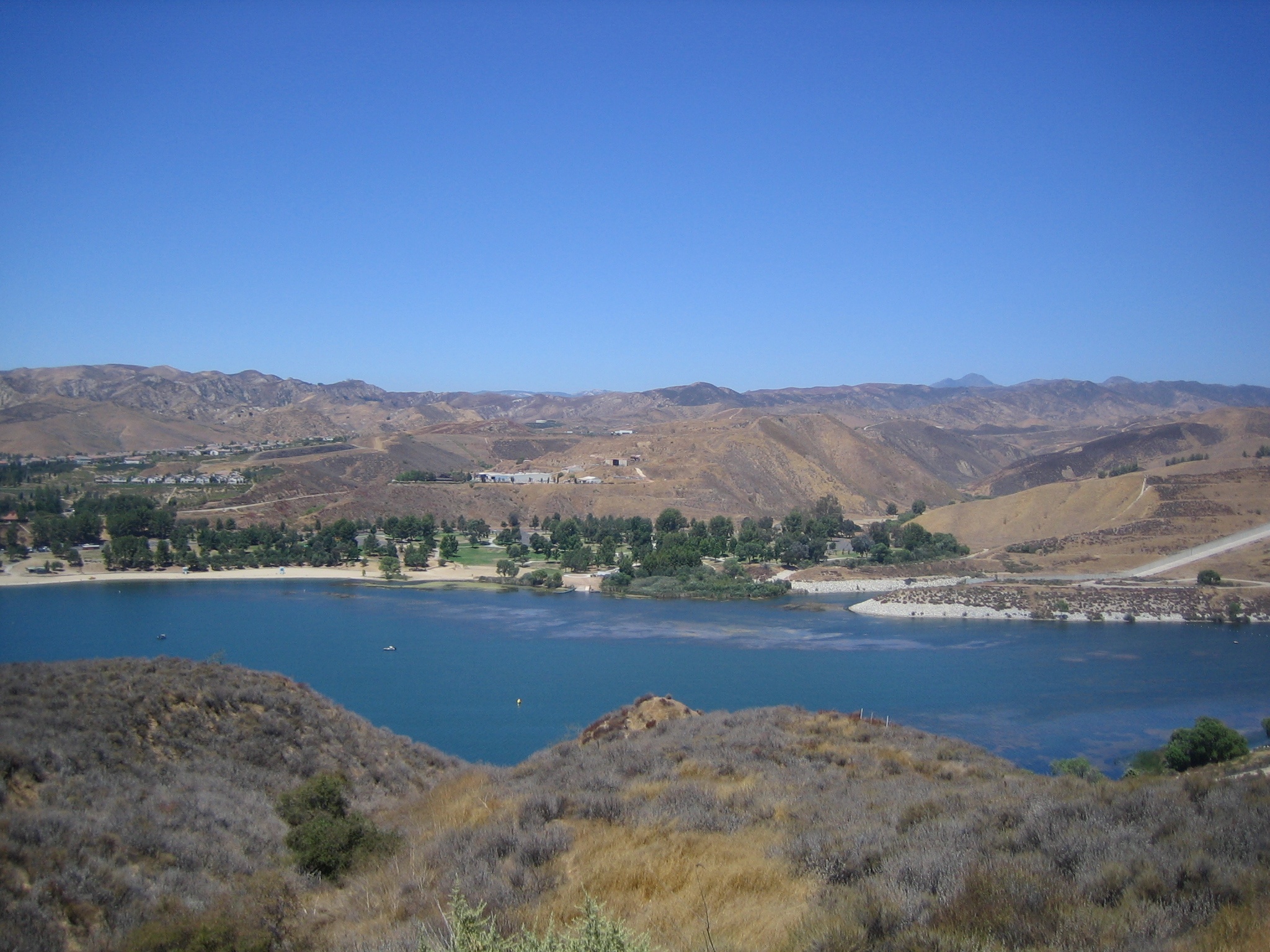
Castaic Lake (Chumash: ''Kaštiq'') is a reservoir formed by Castaic Dam on Castaic Creek, in the Sierra Pelona Mountains of northwestern Los Angeles County, California, United States, near the town of Castaic. The California Office of Environmental Health Hazard Assessment has issued a safety advisory for any fish caught in Castaic Lake and Castaic Lagoon due to elevated levels of mercury and PCBs. Description The lake, with a surface elevation of approximately above sea level, is the terminus of the West Branch California Aqueduct, though some comes from the Castaic Creek watershed above the dam. Castaic Lake is bisected by the Elderberry Forebay Dam, which creates the adjacent Elderberry Forebay. The aqueduct water comes from Pyramid Lake through the Angeles Tunnel and is used to power Castaic Power Plant, a pumped-storage hydroelectric facility on the northern end of the forebay. Water is mostly powering the turbines, rather than being pumped by them. Castaic L ... [...More Info...] [...Related Items...] OR: [Wikipedia] [Google] [Baidu] |
Piru, California
Piru () is a small unincorporated historic town located in eastern Ventura County, California, in the Santa Clara River Valley near the Santa Clara River and Highway 126, about seven miles (11 km) east of Fillmore and about west of Interstate 5. Lake Piru, in the Los Padres National Forest, is the main recreational attraction. The population was 2,063 at the 2010 census, up from 1,196 when the 2000 census was enumerated. For statistical purposes, the United States Census Bureau has defined Piru as a census-designated place (CDP), which does not precisely correspond to the historical community. Etymology Although the town is located in the traditional homelands of the Tataviam, the name ''Piru'' (originally pronounced "Pea-roo") derives from the Chumash word ''pí idhu-ku,'' which referred to the tule reeds growing along Piru Creek that were used in making baskets. The traditional name is still in use by local residents. Also designated and delineated as "Piro", a ... [...More Info...] [...Related Items...] OR: [Wikipedia] [Google] [Baidu] |
Port Hueneme, California
Port Hueneme ( ; Chumash: ''Wene Me'') is a small beach city in Ventura County, California, surrounded by the city of Oxnard and the Santa Barbara Channel. Both the Port of Hueneme and Naval Base Ventura County lie within the city limits. Port Hueneme has a south-facing sand beach, known for its surfing. The beach has a wooden fishing pier and is about a mile long between Ormond Beach downcoast and Point Hueneme Light at the harbor entrance shared by the naval base and the port. The Waterfront Promenade, also known as the Lighthouse Promenade, provides a paved public access along the shoreline with two historic sites at viewpoints: the 1872 Wharf and the Oxnard Packing House.Cultural Heritage Board"Ventura County Landmark Map" ''County of Ventura Planning Division'' Accessed 5 April 2014 Name The name Hueneme derives from the Spanish spelling of the Ventureño Chumash name ''Wene Me'', meaning "Resting Place". In the 1800s, the postmaster named the post office Wynema after ... [...More Info...] [...Related Items...] OR: [Wikipedia] [Google] [Baidu] |
Point Mugu, California
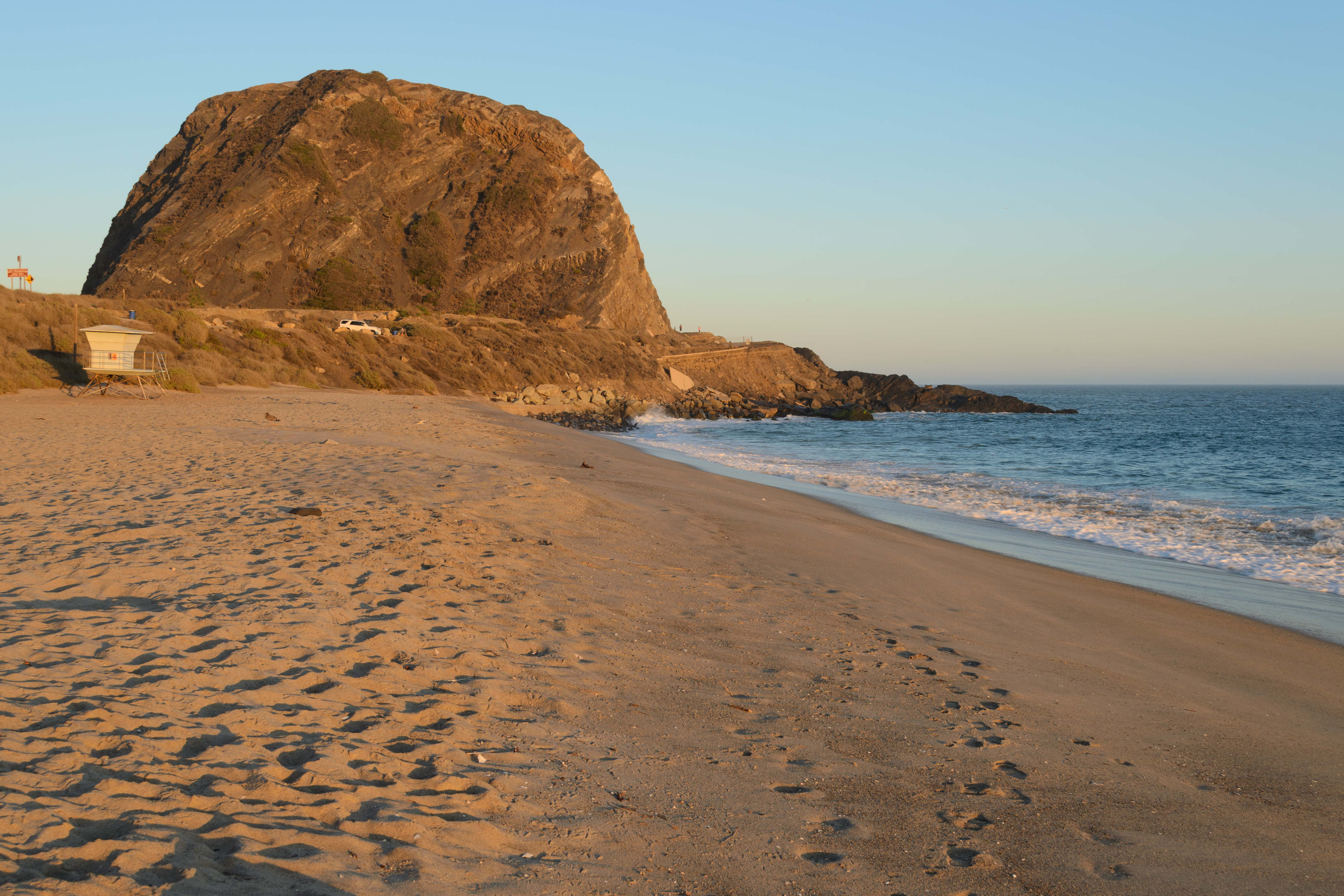
Point Mugu (, Chumash: ''Muwu'') is a cape or promontory within Point Mugu State Park on the Pacific Coast in Ventura County, near the city of Port Hueneme and the city of Oxnard. The name is believed to be derived from the Chumash Indian term "Muwu", meaning "beach", which was first mentioned by Cabrillo in his journals in 1542. Mugu Lagoon is a salt marsh just upcoast from the promontory within the Naval Base Ventura County formerly called the Naval Air Station Point Mugu. History The name derives from Muwu ( Ventureño: "Beach"), which was the name of a Chumash village at Point Mugu during pre-colonial times. The village of Muwu (CA-VEN-11) had the highest population of any coastal Chumash settlements along the Santa Monica Mountains. Muwu was a ceremonial center and the ancient capital of Lulapin, a major political unit of Chumash territory which stretched from modern day Los Angeles County to Santa Barbara in the north. The territory stretched for along the coast, a ... [...More Info...] [...Related Items...] OR: [Wikipedia] [Google] [Baidu] |
Pismo Beach
Pismo Beach (Chumash: ''Pismuʔ'') is a city in the southern portion of San Luis Obispo County, in the Central Coast area of California, United States. The estimated population was 8,072 at the 2020 census, up from 7,655 in the 2010 census. It is part of the Five Cities Area, a cluster of cities in that area of San Luis Obispo County. The "Five Cities" area historically is made up of Arroyo Grande, Grover City (now Grover Beach), Halcyon, Fair Oaks and Nipomo. Now most people refer to the Five Cities as Grover Beach, Pismo Beach, Shell Beach (which is actually a part of Pismo Beach), Arroyo Grande and Oceano (which is unincorporated county land serviced by the Oceano Community Services District). History The Chumash people are the historic inhabitants of the region, with Indigenous peoples having lived along the California coast for at least 11,000 years. The first European land exploration of Alta California, the Spanish Portolá expedition, passed through the area, tra ... [...More Info...] [...Related Items...] OR: [Wikipedia] [Google] [Baidu] |
Ojai, California
Ojai ( ; Chumash: ''’Awhaỳ'') is a city in Ventura County, California. Located in the Ojai Valley, it is northwest of Los Angeles and east of Santa Barbara. The valley is part of the east–west trending Western Transverse Ranges and is about long by wide and divided into a lower and an upper valley, each of similar size, surrounded by hills and mountains. The population was 7,637 at the 2020 census, up from 7,461 at the 2010 census. Ojai is a tourism destination known for its boutique hotels, recreation opportunities, hiking, and farmers' market of local organic agriculture. It has small businesses specializing in local and ecologically friendly art, design, and home improvement. Chain stores are prohibited by city ordinance to encourage local small business development and keep the town unique. The name Ojai is derived from the Mexican-era Rancho Ojai, which in turn took its name from the Ventureño Chumash word Awha'y'', meaning "Moon".Tumamait-Stenslie, Julie ... [...More Info...] [...Related Items...] OR: [Wikipedia] [Google] [Baidu] |
Lompoc, California
Lompoc ( ; Chumash: ''Lum Poc'') is a city in Santa Barbara County, California. Located on the Central Coast, Lompoc has a population of 43,834 as of July 2021. Lompoc has been inhabited for thousands of years by the Chumash people, who called the area Lum Poc, meaning "stagnant waters" or "lagoon" in the local Purisimeño language. The Spanish called the area Lompoco after Fermín de Lasuén had established Mission La Purísima in 1787. In 1837, the Mexican government sold the area as the Rancho Lompoc land grant. Following the U.S. conquest of California, multiple settlers acquired the Lompoc Valley, including William Welles Hollister, who sold the land around the mission to the Lompoc Valley Land Company, which established a temperance colony which incorporated in 1888 as Lompoc. Lompoc is often considered a military town because it is near Vandenberg Space Force Base. History Before the Spanish conquest, the area around Lompoc was inhabited by the Chumash people. T ... [...More Info...] [...Related Items...] OR: [Wikipedia] [Google] [Baidu] |
Nipomo, California
Nipomo (; Chumash: ''Nipumuʔ'') is a unincorporated town in San Luis Obispo County, California, United States. The population was 16,714 for the 2010 census and grew to 18,176 for the 2020 census. For statistical purposes, the United States Census Bureau has defined Nipomo as a census-designated place (CDP). Name The name is the Spanish transliteration of the Obispeño Chumash place name ''Nipumuʔ'', meaning "place of the big house" or "village". History The original settlers of Nipomo were the Chumash Indians, who have lived in the area for over 9,000 years. Rancho Nipomo (the Indian word ''ne-po-mah'' meant "foot of the hill") was one of the first and largest of the Mexican land grants in San Luis Obispo County. William G. Dana of Boston, a sea captain travels led him to California where he married Maria Josefa Carrillo of Santa Barbara. In 1837, the Rancho Nipomo was granted to Captain Dana by the Mexican governor. The Dana Adobe, created in 1839, served as an ... [...More Info...] [...Related Items...] OR: [Wikipedia] [Google] [Baidu] |
Anacapa Island
Anacapa Island (Chumash: ''Anyapax'', meaning "mirage, illusion") is a small volcanic island located about off the coast of Port Hueneme, California, in Ventura County. The island is composed of a series of narrow islets long, oriented generally east–west and east of Santa Cruz Island. The three main islets, East, Middle and West Anacapa, are collectively known as The Anacapas by some authors. All three islets have precipitous cliffs, dropping off steeply into the sea. Anacapa is the smallest of the northern islands of the Channel Islands archipelago, and is within the Channel Islands National Park. It is across the Santa Barbara Channel from the nearest point on the mainland. It lies southwest of the city of Ventura. [...More Info...] [...Related Items...] OR: [Wikipedia] [Google] [Baidu] |

.png)


