|
Catskill (town), New York
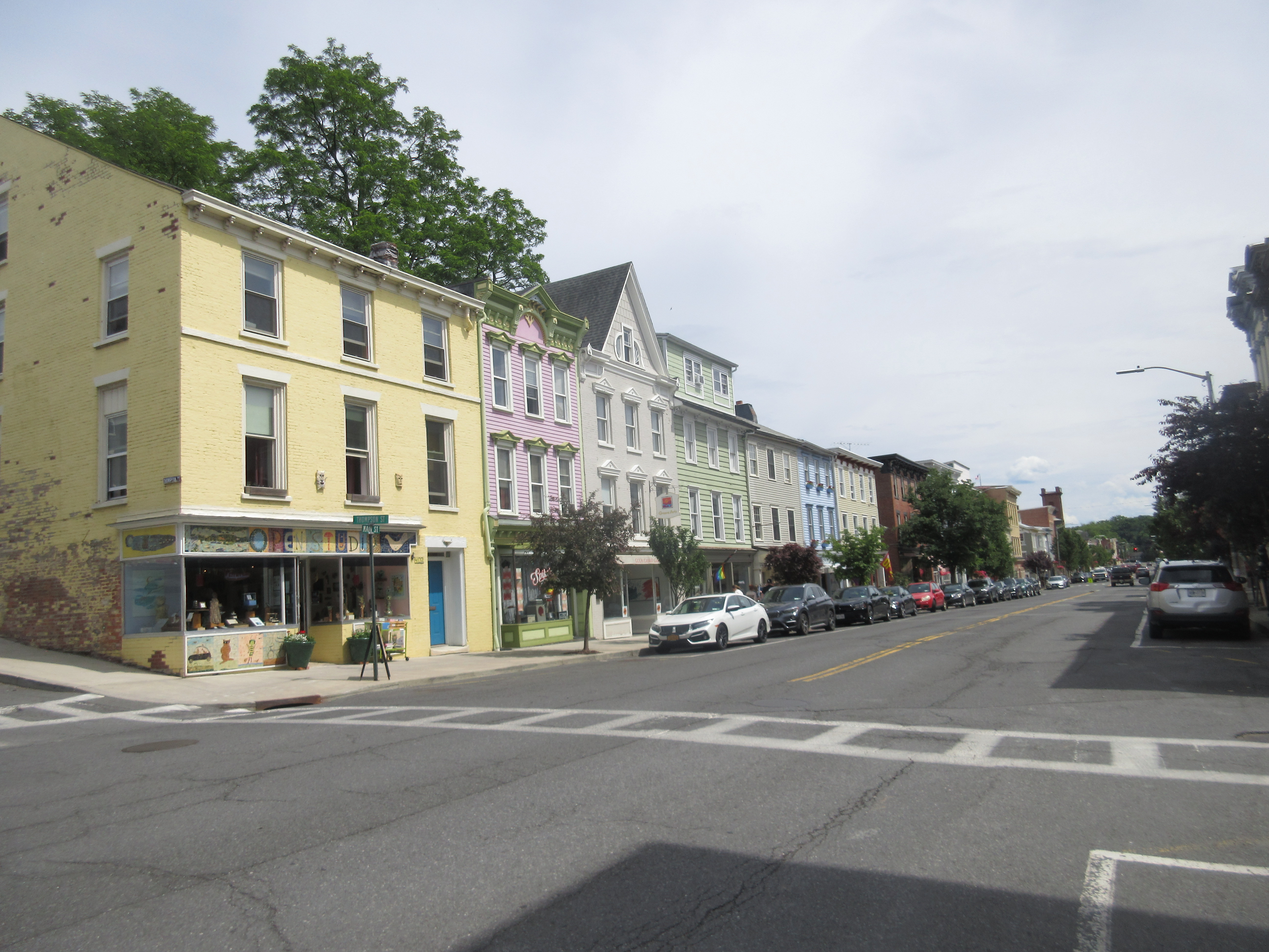
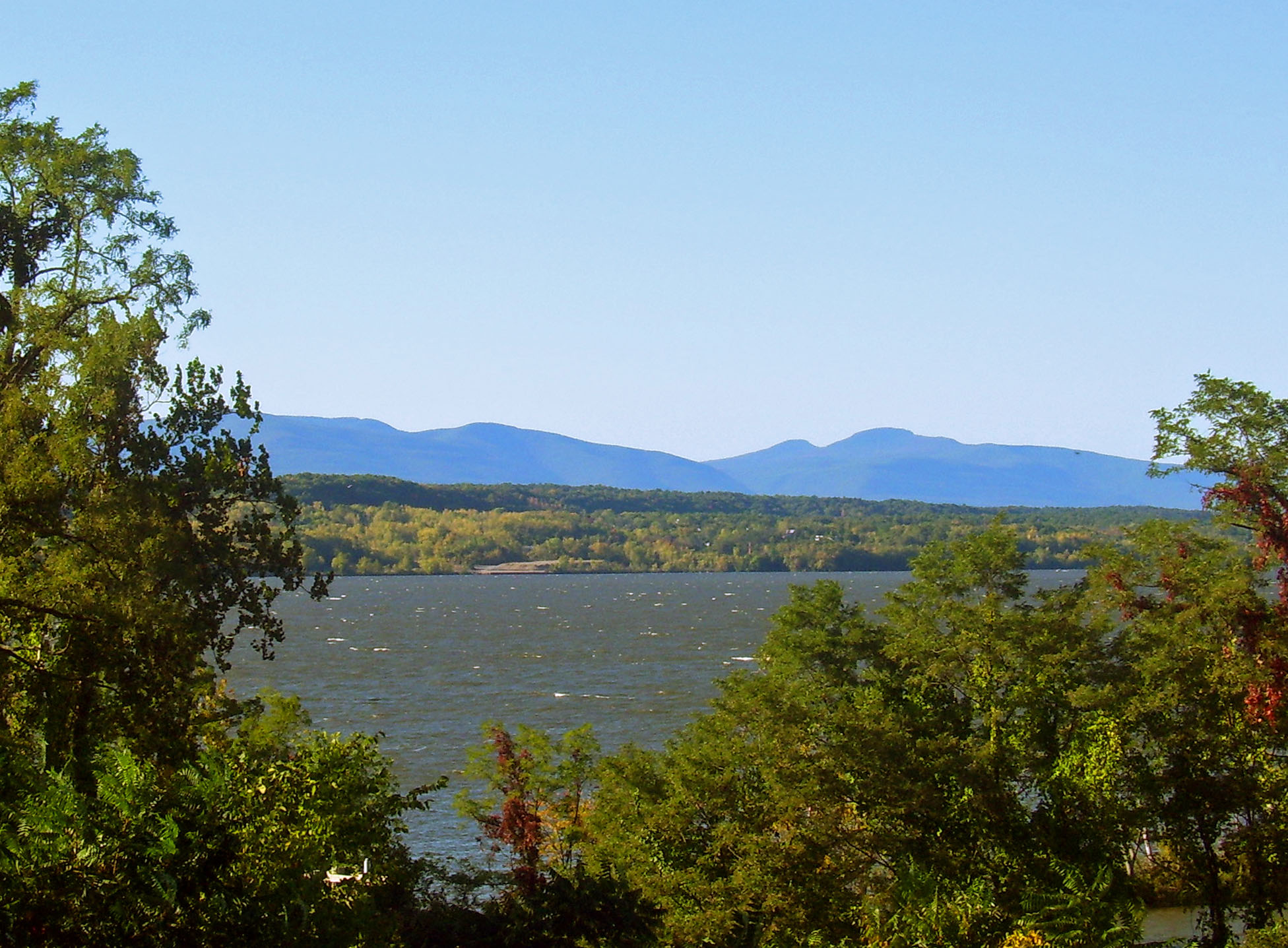
Catskill is a town in the southeastern section of Greene County, New York, United States. The population was 11,298 at the 2020 census, the largest town in the county. The western part of the town is in the Catskill Park. The town contains a village, also called Catskill. The village of Catskill has a well-defined Main Street. There is a public boat launch on the Hudson River called Dutchman's Landing. History The area of the town was purchased from the indigenous peoples in 1678, and the first settler was Derrick Teunis van Vechten, who built a house here in 1680. The town was established on March 7, 1788, as part of Albany County. When Greene County was formed on March 25, 1800, Catskill became part of the new county. The town was increased by an addition from the town of Woodstock in 1800, but was later decreased upon the formation of the towns of Cairo (1803) and Athens (1815). Catskill is the location of the story "Rip Van Winkle" by Washington Irving. On July 23, 200 ... [...More Info...] [...Related Items...] OR: [Wikipedia] [Google] [Baidu] |
Administrative Divisions Of New York
The administrative divisions of New York are the various units of government that provide local services in the State of New York. The state is divided into boroughs, counties, cities, townships called "towns", and villages. (The only boroughs, the five boroughs of New York City, have the same boundaries as their respective counties.) They are municipal corporations, chartered (created) by the New York State Legislature, as under the New York Constitution the only body that can create governmental units is the state. All of them have their own governments, sometimes with no paid employees, that provide local services. Centers of population that are not incorporated and have no government or local services are designated hamlets. Whether a municipality is defined as a borough, city, town, or village is determined not by population or land area, but rather on the form of government selected by the residents and approved by the New York Legislature. Each type of local govern ... [...More Info...] [...Related Items...] OR: [Wikipedia] [Google] [Baidu] |
Athens, New York
Athens is a town in Greene County, New York, United States. The population was 3,916 at the 2020 census. The town of Athens has a village also called Athens. The town is near the eastern edge of the county. History The town of Athens was formed on February 25,1815 from parts of the towns of Catskill and Coxsackie. In 1890, the total population was 2,361. Geography and climate According to the United States Census Bureau, the town has a total area of 28.8 square miles (74.7 km2), of which 26.2 square miles (67.8 km2) is land and 2.7 square miles (6.9 km2, or 9.22%) is water. The eastern town line is defined by the Hudson River and is the border of Columbia County. U.S. Route 9W and the New York State Thruway ( Interstate 87) pass through the town. Demographics As of the census of 2000, there were 3,991 people, 1,600 households, and 1,110 families residing in the town. The population density was 152.5 people per square mile (58.9/km2). ... [...More Info...] [...Related Items...] OR: [Wikipedia] [Google] [Baidu] |
OLDEST HOUSE IN CATSKILLS - KNOWN AS 'RIP VAN WRINKLE HOUSE' DATE - 1787
Old or OLD may refer to: Places * Old, Baranya, Hungary * Old, Northamptonshire, England *Old Street station, a railway and tube station in London (station code OLD) *OLD, IATA code for Old Town Municipal Airport and Seaplane Base, Old Town, Maine, United States People * Old (surname) Music *OLD (band) OLD (originally an acronym for Old Lady Drivers) was an American heavy metal band from Bergenfield, New Jersey, formed in 1986 and signed to Earache Records. It featured Alan Dubin on vocals, and James Plotkin on guitars and programming, bo ..., a grindcore/industrial metal group * ''Old'' (Danny Brown album), a 2013 album by Danny Brown * ''Old'' (Starflyer 59 album), a 2003 album by Starflyer 59 * "Old" (song), a 1995 song by Machine Head *'' Old LP'', a 2019 album by That Dog Other uses * ''Old'' (film), a 2021 American thriller film *'' Oxford Latin Dictionary'' * Online dating *Over-Locknut Distance (or Dimension), a measurement of a bicycle wheel and frame * ... [...More Info...] [...Related Items...] OR: [Wikipedia] [Google] [Baidu] |
Saugerties, New York
Saugerties () is a Administrative divisions of New York#Town, town in the northeastern corner of Ulster County, New York, Ulster County, New York (state), New York. The population was 19,038 at the time of the 2020 United States census, 2020 Census, a decline from 19,482 in 2010 United States census, 2010. The Saugerties (village), New York, village of the same name is located entirely within the town. Part of the town is inside Catskill Park. U.S. Route 9W and New York State Route 32 pass through the town, converging at the center of the village and overlapping to the south. These routes parallel the New York State Thruway (Interstate 87 (New York), Interstate 87), which passes through the town just west of the village of Saugerties. History In the 1650s, Barent Cornelis Volge operated a sawmill on the Sawyer's Kill, supplying lumber for the manor of Manor of Rensselaerswyck, Rensselaerswick. He had secured a title from the Esopus tribe, Esopus Sachem to this land sometime ... [...More Info...] [...Related Items...] OR: [Wikipedia] [Google] [Baidu] |
Hunter, New York
Hunter is a Administrative divisions of New York#Town, town located in Greene County, New York, Greene County, New York (state), New York, United States. The population was 2,732 at the time of the 2010 census. The town contains three Administrative divisions of New York#Village, villages, one named Hunter (village), New York, Hunter on the west , another is Lanesville on the southern side of Hunter, and the third called Tannersville, New York, Tannersville the largest and center of the town. The town is on the southern border of Greene County with Lanesville Village adjacent to Ulster County. The Hamlet of Haines Falls is on the east of the town. History The town was formed on January 27, 1813 from the town of Windham (town), New York, Windham, but was then called "Edwardsville". The name of "Hunter" was assumed in 1814, named after John Hunter. Afterwards, the town lost some territory to the town of Saugerties, New York, Saugerties in 1814 and to Jewett, New York, Jewett ... [...More Info...] [...Related Items...] OR: [Wikipedia] [Google] [Baidu] |
Ulster County, New York
Ulster County is a county in the U.S. state of New York. It is situated along the Hudson River. As of the 2020 census, the population was 181,851. The county seat is Kingston. The county is named after the Irish province of Ulster. History Founding and formation When part of the New Netherland colony, Dutch traders first called the area of present-day Ulster County "Esopus", a name borrowed for convenience from a locality on the opposite side of the Hudson. The local Lenape indigenous people called themselves Waranawanka, but soon came to be known to the Dutch as the "Esopus Indians" because they were encountered around the settlement known as Esopus. In 1652, Thomas Chambers, a freeholder from the Manor of Rensselaerswyck, purchased land at Esopus. He and several others actually settled and began farming by June, 1653. The settlements grew into the village of Wiltwijck, which the English later named Kingston. In 1683, the Duke of York created 12 counties in his province, ... [...More Info...] [...Related Items...] OR: [Wikipedia] [Google] [Baidu] |
Columbia County, New York
Columbia County is a county located in the U.S. state of New York. As of the 2020 census, the population was 61,570. The county seat is Hudson. The name comes from the Latin feminine form of the name of Christopher Columbus, which was at the time of the formation of the county a popular proposal for the name of the United States. Columbia County comprises the Hudson, NY Micropolitan Statistical Area, which is also included in the Albany-Schenectady, NY Combined Statistical Area. It is on the east side of the Hudson River and is considered to be part of the Upper Hudson Valley. History At the arrival of European colonists the area was occupied by the indigenous Mohican Indians. To the west of the river were the Mohawk and other four tribes of the Iroquois Confederacy, extending past what is now the border of New York state. The first known European exploration of Columbia County was in 1609, when Henry Hudson, an English explorer sailing for the Dutch, ventured up the Hu ... [...More Info...] [...Related Items...] OR: [Wikipedia] [Google] [Baidu] |
United States Census Bureau
The United States Census Bureau (USCB), officially the Bureau of the Census, is a principal agency of the U.S. Federal Statistical System, responsible for producing data about the American people and economy. The Census Bureau is part of the U.S. Department of Commerce and its director is appointed by the President of the United States. The Census Bureau's primary mission is conducting the U.S. census every ten years, which allocates the seats of the U.S. House of Representatives to the states based on their population. The bureau's various censuses and surveys help allocate over $675 billion in federal funds every year and it assists states, local communities, and businesses make informed decisions. The information provided by the census informs decisions on where to build and maintain schools, hospitals, transportation infrastructure, and police and fire departments. In addition to the decennial census, the Census Bureau continually conducts over 130 surveys and p ... [...More Info...] [...Related Items...] OR: [Wikipedia] [Google] [Baidu] |
Lucien Rinaldo Burleigh
Lucien Rinaldo Burleigh Jr. (1853–1923), whose work was often signed L. R. Burleigh, was an artist and lithographer in Troy, New York who drew and published panoramic maps. His business has been identified as Burleigh Lithograph Company or Burleigh Lithograph Establishment. He produced views of approximately 280 locations of which 120 have been established as his while the others include work by other artists. The Library of Congress has 163 panoramic city plans produced by Burleigh. State and local archives in New York may contain even more of Burleigh's views. He was listed in an 1883 city directory for Troy as a civil engineer and become a lithographer and view publisher by 1886. The period of his greatest productivity of prints continued until 1890. Burleigh was born in Plainfield, Connecticut. One of his lithographs is in the Smithsonian American Art Museum collection. The Boston Public Library and Library of Congress also have examples of his lithographs in their collect ... [...More Info...] [...Related Items...] OR: [Wikipedia] [Google] [Baidu] |
Perspective Map
Pictorial maps (also known as illustrated maps, panoramic maps, perspective maps, bird’s-eye view maps, and geopictorial maps) depict a given territory with a more artistic rather than technical style. It is a type of map in contrast to road map, atlas, or topographic map. The cartography can be a sophisticated 3-D perspective landscape or a simple map graphic enlivened with illustrations of buildings, people and animals. They can feature all sorts of varied topics like historical events, legendary figures or local agricultural products and cover anything from an entire continent to a college campus. Drawn by specialized artists and illustrators, pictorial maps are a rich, centuries-old tradition and a diverse art form that ranges from cartoon maps on restaurant placemats to treasured art prints in museums. Pictorial maps usually show an area as if viewed from above at an oblique angle. They are not generally drawn to scale in order to show street patterns, individual buildings, ... [...More Info...] [...Related Items...] OR: [Wikipedia] [Google] [Baidu] |
Catskill Mountains
The Catskill Mountains, also known as the Catskills, are a physiographic province of the larger Appalachian Mountains, located in southeastern New York. As a cultural and geographic region, the Catskills are generally defined as those areas close to or within the borders of the Catskill Park, a forest preserve protected from many forms of development under New York state law. Geologically, the Catskills are a mature dissected plateau, a flat region subsequently uplifted and eroded into sharp relief by watercourses. The Catskills form the northeastern end of the Allegheny Plateau (also known as the Appalachian Plateau). The Catskills were named by early Dutch settlers. They are well known in American society as the setting for films and works of art, including many 19th-century Hudson River School paintings, as well as for being a favored destination for vacationers from New York City in the mid-20th century. The region's many large resorts gave many young stand-up come ... [...More Info...] [...Related Items...] OR: [Wikipedia] [Google] [Baidu] |


