|
Cascade–Siskiyou National Monument
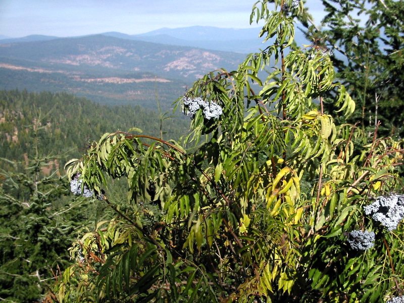
The Cascade–Siskiyou National Monument is a United States national monument that protects of forest and grasslands at the junction of the Cascade Range and the Siskiyou Mountains in Southwestern Oregon and Northwestern California, United States. The monument is managed by the Bureau of Land Management as part of the National Landscape Conservation System. It was established in a presidential proclamation by President Bill Clinton on June 9, 2000 and expanded by President Barack Obama on January 12, 2017. History Native Americans are known from archaeological excavations to have inhabited the region for thousands of years. Nearly 100 dwelling and root-gathering sites belonging to the Modoc, Klamath, and Shasta tribes have been uncovered to date. By the 1880s, their lands were taken by white settlers, whose mining cabins still dot the region. [...More Info...] [...Related Items...] OR: [Wikipedia] [Google] [Baidu] |
Pacific Crest Trail
The Pacific Crest Trail (PCT), officially designated as the Pacific Crest National Scenic Trail, is a long-distance hiking and equestrian trail closely aligned with the highest portion of the Cascade and Sierra Nevada mountain ranges, which lie east of the U.S. Pacific coast. The trail's southern terminus is next to the Mexico–United States border, just south of Campo, California, and its northern terminus is on the Canada–US border, upon which it continues unofficially to the Windy Joe Trail within Manning Park in British Columbia; it passes through the states of California, Oregon, and Washington. The Pacific Crest Trail is long and ranges in elevation from roughly above sea level near the Bridge of the Gods on the Oregon–Washington border to at Forester Pass in the Sierra Nevada. The route passes through 25 national forests and 7 national parks. Its midpoint is near Chester, California (near Mt. Lassen), where the Sierra and Cascade mountain ranges meet. It was d ... [...More Info...] [...Related Items...] OR: [Wikipedia] [Google] [Baidu] |
Klamath People
The Klamath people are a Native American tribe of the Plateau culture area in Southern Oregon and Northern California. Today Klamath people are enrolled in the federally recognized tribes: * Klamath Tribes (Klamath, Modoc, and Yahooskin (Yahuskin) Band of Northern Paiute Indians), Oregon * Quartz Valley Indian Community (Klamath, Karuk (Karok), and Shasta (Chasta) people), California. History Pre-contact The Klamath people lived in the area around the Upper Klamath Lake (E-ukshi - “Lake”) and the Klamath, Williamson (Kóke - “River”), Wood River (E-ukalksini Kóke), and Sprague (Plaikni Kóke - “River Uphill”) rivers. They subsisted primarily on fish and gathered roots and seeds. While there was knowledge of their immediate neighbors, apparently the Klamath were unaware of the existence of the Pacific Ocean. Gatschet has described this position as leaving the Klamath living in a "protracted isolation" from outside cultures. North of their tribal territory lived ... [...More Info...] [...Related Items...] OR: [Wikipedia] [Google] [Baidu] |
Mount McLoughlin
Mount McLoughlin is a dormant steep-sided stratovolcano, or composite volcano, in the Cascade Range of southern Oregon and within the United States Sky Lakes Wilderness. It is one of the volcanic peaks in the Cascade Volcanic Arc, within the High Cascades sector. A prominent landmark for the Rogue River Valley, the mountain is north of Mount Shasta, and south-southeast of Crater Lake. It was named around 1838 after John McLoughlin, a Chief Factor for the Hudson's Bay Company. Mount McLouglin's prominence has made it a landmark to Native American populations for thousands of years. McLoughlin consists largely of basaltic andesite. It underwent three major eruptive periods before its last activity took place between 30,000 and 20,000 years ago. It is not currently monitored for activity or deformation. Diverse species of flora and fauna inhabit the area, which is subject to frequent snowfall and temperature variation between seasons. The Pacific Crest Trail skirts the eastern an ... [...More Info...] [...Related Items...] OR: [Wikipedia] [Google] [Baidu] |
Mount Ashland
Mount Ashland is the highest peak in the Siskiyou Mountains of southern Oregon. It was named for the city of Ashland, located north of the mountain. The Siskiyou Mountains are a subrange of the Klamath Mountains in northwestern California and southwestern Oregon. The mountain is part of the Rogue River–Siskiyou National Forest, which encompasses most of the Siskiyou Mountains. The Oregon–California border is south of the mountain. Geology Mount Ashland is composed largely of granite, with other igneous intrusive rocks like diorite and granodiorite Granodiorite () is a coarse-grained ( phaneritic) intrusive igneous rock similar to granite, but containing more plagioclase feldspar than orthoclase feldspar. The term banatite is sometimes used informally for various rocks ranging from gr .... The peak and its surrounding flanks make up the Mount Ashland pluton. Recreation Mount Ashland Ski Area, located on the mountain, features 23 trails on served by four ... [...More Info...] [...Related Items...] OR: [Wikipedia] [Google] [Baidu] |
Mount Shasta
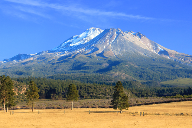
Mount Shasta ( Shasta: ''Waka-nunee-Tuki-wuki''; Karuk: ''Úytaahkoo'') is a potentially active volcano at the southern end of the Cascade Range in Siskiyou County, California. At an elevation of , it is the second-highest peak in the Cascades and the fifth-highest in the state. Mount Shasta has an estimated volume of , which makes it the most voluminous stratovolcano in the Cascade Volcanic Arc. The mountain and surrounding area are part of the Shasta–Trinity National Forest. Description Mount Shasta is connected to its satellite cone of Shastina, and together they dominate the landscape. Shasta rises abruptly to tower nearly above its surroundings. On a clear winter day, the mountain can be seen from the floor of the Central Valley to the south. The mountain has attracted the attention of poets, authors, and presidents. The mountain consists of four overlapping dormant volcanic cones that have built a complex shape, including the main summit and the prominent and visi ... [...More Info...] [...Related Items...] OR: [Wikipedia] [Google] [Baidu] |
Fire Lookout Tower
A fire lookout tower, fire tower or lookout tower, provides housing and protection for a person known as a "fire lookout" whose duty it is to search for wildfires in the wilderness. It is a small building, usually on the summit of a mountain or other high vantage point, to maximize viewing distance and range, known as ''view shed''. From this vantage point the fire lookout can see smoke that may develop, determine the location by using a device known as an ''Osborne Fire Finder'', and call fire suppression personnel to the fire. Lookouts also report weather changes and plot the location of lightning strikes during storms. The location of the strike is monitored for a period of days afterwards, in case of ignition. A typical fire lookout tower consists of a small room, known as a ''cab,'' atop a large steel or wooden tower. Historically, the tops of tall trees have also been used to mount permanent platforms. Sometimes natural rock may be used to create a lower platform. In cases ... [...More Info...] [...Related Items...] OR: [Wikipedia] [Google] [Baidu] |
My Public Lands Roadtrip- Cascade-Siskiyou National Monument In Oregon (18910277949)
My or MY may refer to: Arts and entertainment * My (radio station), a Malaysian radio station * Little My, a fictional character in the Moomins universe * ''My'' (album), by Edyta Górniak * ''My'' (EP), by Cho Mi-yeon Business * Marketing year, variable period * Model year, product identifier Transport * Motoryacht * Motor Yacht, a name prefix for merchant vessels * Midwest Airlines (Egypt), IATA airline designation * MAXjet Airways, United States, defunct IATA airline designation Other uses * ''My'', the genitive form of the English pronoun ''I'' * Malaysia, ISO 3166-1 country code ** .my, the country-code top level domain (ccTLD) * Burmese language (ISO 639 alpha-2) * Megalithic Yard, a hypothesised, prehistoric unit of length * Million years See also * MyTV (other) * µ ("mu"), a letter of the Greek alphabet * Mi (other) * Me (other) * Myself (other) ''Myself'' is a reflexive pronoun in English. Myself may also refer ... [...More Info...] [...Related Items...] OR: [Wikipedia] [Google] [Baidu] |
Soda Mountain Wilderness
The Soda Mountain Wilderness is a protected wilderness area inside the Cascade–Siskiyou National Monument located in the U.S. state of Oregon adjacent to the California state border. The wilderness area was created by the Omnibus Public Land Management Act of 2009, which was signed into law by President Barack Obama on March 30, 2009. The wilderness encompasses many mountains, including Boccard Point. See also * List of Oregon Wildernesses * List of U.S. Wilderness Areas * Wilderness Act The Wilderness Act of 1964 () was written by Howard Zahniser of The Wilderness Society. It created the legal definition of wilderness in the United States, and protected 9.1 million acres (37,000 km²) of federal land. The result of a lon ... References External links Soda Mountain Wilderness- Oregon Wild Soda Mountain Wilderness Area- BLM page Protected areas of Jackson County, Oregon Wilderness areas of Oregon Protected areas established in 2009 2009 establishments in O ... [...More Info...] [...Related Items...] OR: [Wikipedia] [Google] [Baidu] |
Wyoming
Wyoming () is a U.S. state, state in the Mountain states, Mountain West subregion of the Western United States. It is bordered by Montana to the north and northwest, South Dakota and Nebraska to the east, Idaho to the west, Utah to the southwest, and Colorado to the south. With a population of 576,851 in the 2020 United States census, Wyoming is the List of U.S. states and territories by population, least populous state despite being the List of U.S. states and territories by area, 10th largest by area, with the List of U.S. states by population density, second-lowest population density after Alaska. The state capital and List of municipalities in Wyoming, most populous city is Cheyenne, Wyoming, Cheyenne, which had an estimated population of 63,957 in 2018. Wyoming's western half is covered mostly by the ranges and rangelands of the Rocky Mountains, while the eastern half of the state is high-elevation prairie called the High Plains (United States), High Plains. It is drier ... [...More Info...] [...Related Items...] OR: [Wikipedia] [Google] [Baidu] |
Devils Tower National Monument
Devils Tower (also known as Bear Lodge Butte) is a butte, possibly laccolithic, composed of igneous rock in the Bear Lodge Ranger District of the Black Hills, near Hulett and Sundance in Crook County, northeastern Wyoming, above the Belle Fourche River. It rises 1,267 feet (386 m) above the Belle Fourche River, standing 867 feet (265 m) from summit to base. The summit is 5,112 feet (1,559 m) above sea level. Devils Tower was the first United States national monument, established on September 24, 1906 by President Theodore Roosevelt. The monument's boundary encloses an area of . Name Native American names for the monolith include "Bear's House" or "Bear's Lodge" (or "Bear's Tipi", "Home of the Bear", "Bear's Lair"); Cheyenne, lkt, Matȟó Thípila, cro, Daxpitcheeaasáao ("Home of Bears"), "Aloft on a Rock" (Kiowa), "Tree Rock", "Great Gray Horn", and "Brown Buffalo Horn" ( lkt, Ptehé Ǧí). The name "Devil's Tower" originated in 1875 during an expedition led by Colonel ... [...More Info...] [...Related Items...] OR: [Wikipedia] [Google] [Baidu] |
Pilot Rock (Jackson County, Oregon)
Pilot Rock is a prominent volcanic plug located in the western Cascade Range near the east end of the Siskiyou Mountains, just east of the Siskiyou Summit near Ashland, Oregon. Rising thousands of feet above the Shasta and Rogue valleys, it is a landmark distinguishable from over away. At 25.6 million years old, it is one of the oldest formations of the Cascade Range. The rock is protected by the Cascade–Siskiyou National Monument and the Soda Mountain Wilderness. Several trails pass near Pilot Rock, including the Pacific Crest Trail. Geology Rising above the surrounding hills and thousands of feet above the Shasta and Rogue valleys, Pilot Rock is one of the most prominent features of the Cascade–Siskiyou National Monument. It was created when andesitic magma broke through a weak spot in the Earth's crust and solidified beneath the surface, forming a plug. The softer rock around the plug slowly eroded away, leaving Pilot Rock as it is seen today. Similar features incl ... [...More Info...] [...Related Items...] OR: [Wikipedia] [Google] [Baidu] |
Log Cabin
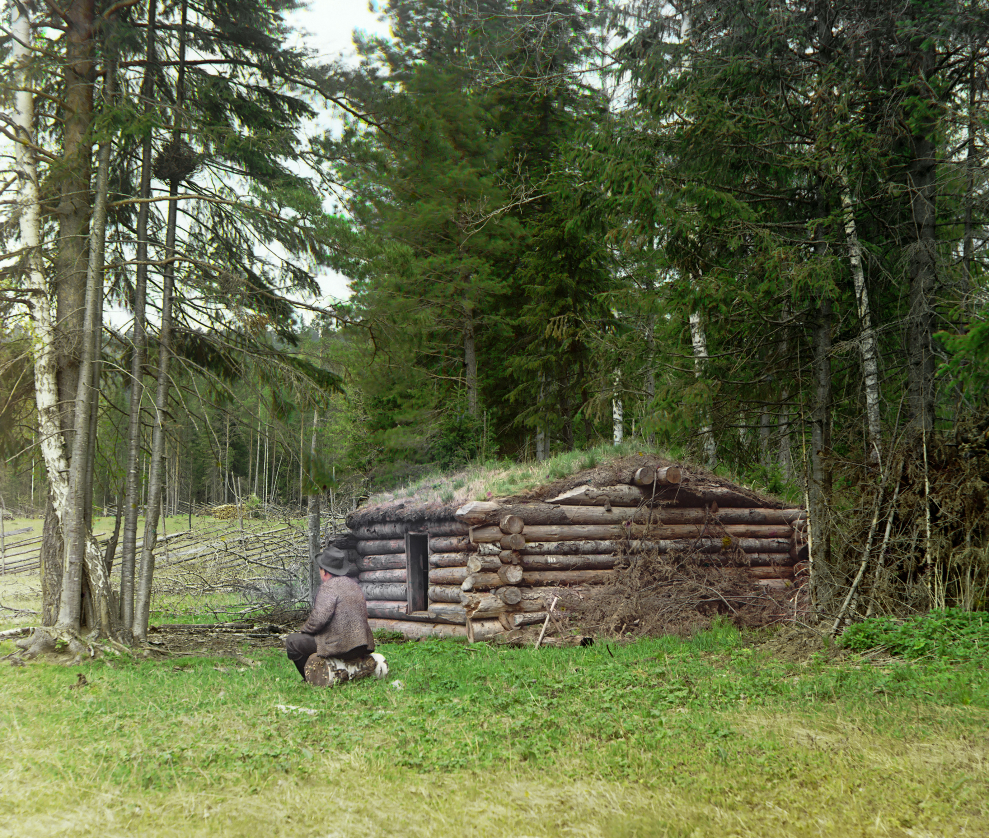
A log cabin is a small log house, especially a less finished or less architecturally sophisticated structure. Log cabins have an ancient history in Europe, and in America are often associated with first generation home building by settlers. European history Construction with logs was described by Roman architect Vitruvius Pollio in his architectural treatise '' De Architectura''. He noted that in Pontus (modern-day northeastern Turkey), dwellings were constructed by laying logs horizontally overtop of each other and filling in the gaps with "chips and mud". Historically log cabin construction has its roots in Scandinavia and Eastern Europe. Although their origin is uncertain, the first log structures were probably being built in Northern Europe by the Bronze Age (about 3500 BC). C. A. Weslager describes Europeans as having: Nevertheless, a medieval log cabin was considered movable property (a chattel house), as evidenced by the relocation of Espåby village in 1557: the ... [...More Info...] [...Related Items...] OR: [Wikipedia] [Google] [Baidu] |


