|
Warrenville, Illinois
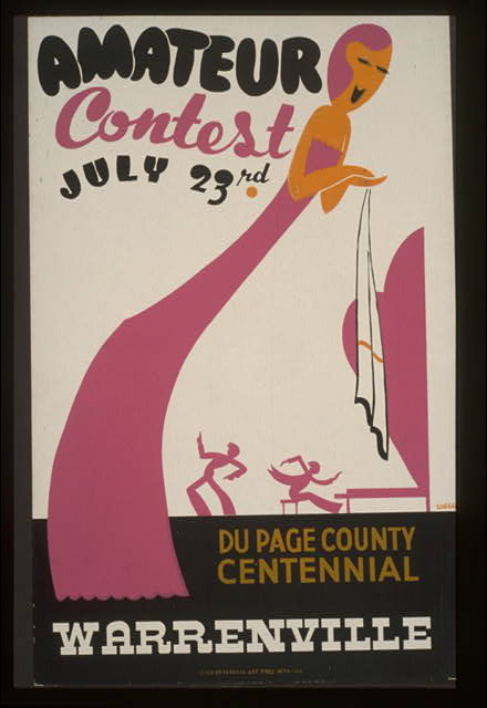
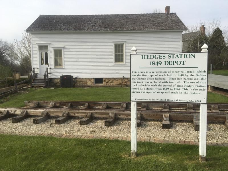
Warrenville is a city in DuPage County, Illinois, United States. The population was 15,195 at the 2024 special census. Warrenville is a far west suburb of Chicago on the DuPage River. It is part of the Illinois Technology and Research Corridor, and is just north of I-88. History Warrenville was founded in 1833 when Julius Warren and his family moved west from New York to seek a fresh start from a failing gristmill and distillery. Daniel Warren, Julius' father, claimed land at what is now McDowell Woods and Julius claimed land at what is now the Warrenville Grove Forest Preserve. The first major establishment, an inn and tavern, was built in 1838 by Julius Warren himself, as the family was skilled in timber and grain. The inn still stands today and was renovated in 2002. The town quickly blossomed with two mills and a plank road connecting it with Naperville and Winfield, on which Julius operated a stagecoach line. The town failed at its bid to have the railroad come thr ... [...More Info...] [...Related Items...] OR: [Wikipedia] [Google] [Baidu] |
DuPage River
The DuPage River is a U.S. Geological Survey. National Hydrography Dataset high-resolution flowline dataThe National Map , accessed May 13, 2011 tributary of the Des Plaines River in the U.S. state of Illinois. Course The river begins as two individual streams. The West Branch of the DuPage River, long, starts at Campanelli Park in Schaumburg within Cook County and continues southward through the entire county of DuPage, including the towns of Bartlett, Wayne, West Chicago, Wheaton, Warrenville, Winfield and Naperville (including through its riverwalk), as well as McDowell Grove. The East Branch of the DuPage River, long, begins in Bloomingdale and flows southward through Glendale Heights, Glen Ellyn, Lisle, Woodridge, parts of Naperville and parts of Bolingbrook. St. Joseph Creek, a tributary of the river's East Branch, runs through the small town of Belmont and onward into Downers Grove, Illinois, Downers Grove. The two branches meet at the southern end of K ... [...More Info...] [...Related Items...] OR: [Wikipedia] [Google] [Baidu] |
Geographic Names Information System
The Geographic Names Information System (GNIS) is a database of name and location information about more than two million physical and cultural features, encompassing the United States and its territories; the Compact of Free Association, associated states of the Marshall Islands, Federated States of Micronesia, and Palau; and Antarctica. It is a type of gazetteer. It was developed by the United States Geological Survey (USGS) in cooperation with the United States Board on Geographic Names (BGN) to promote the standardization of feature names. Data were collected in two phases. Although a third phase was considered, which would have handled name changes where local usages differed from maps, it was never begun. The database is part of a system that includes topographic map names and bibliographic references. The names of books and historic maps that confirm the feature or place name are cited. Variant names, alternatives to official federal names for a feature, are also recor ... [...More Info...] [...Related Items...] OR: [Wikipedia] [Google] [Baidu] |
Chicago Aurora And Elgin Railroad
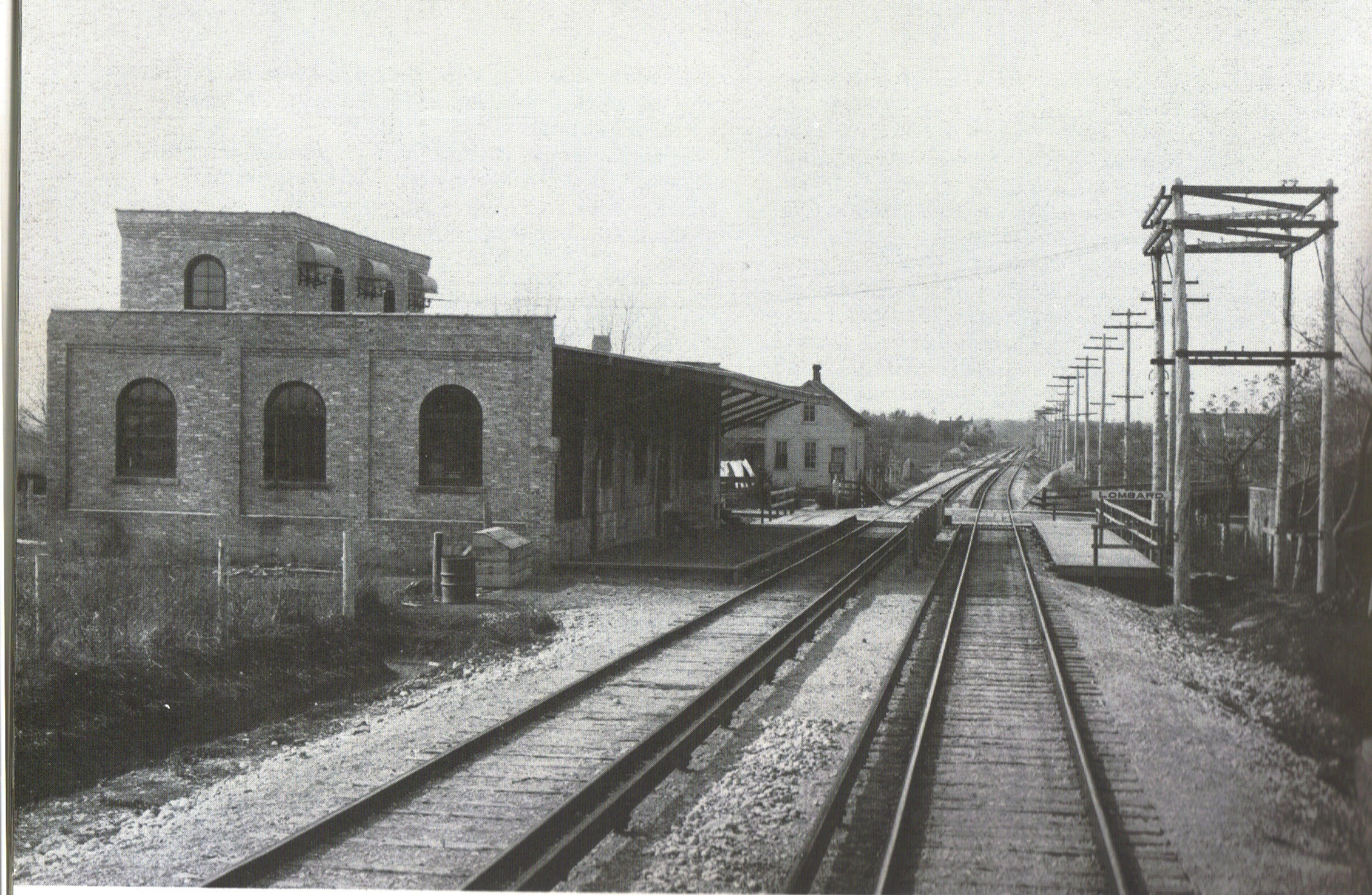
The Chicago Aurora and Elgin Railroad (CA&E), known colloquially as the "Roarin' Elgin" or the "Great Third Rail", was an interurban railroad that operated passenger and freight service on its line between Chicago and Aurora, Illinois, Aurora, Batavia, Illinois, Batavia, Geneva, Illinois, Geneva, St. Charles, Illinois, St. Charles, and Elgin, Illinois, Elgin, Illinois. The railroad also operated a small branch to Mount Carmel Cemetery (Hillside), Mt. Carmel Cemetery in Hillside, Illinois, Hillside and owned a branch line to Westchester, Illinois, Westchester. Wounded by the increased use of automobiles after World War II, the CA&E abruptly ended passenger service in 1957. Freight service was suspended in 1959, and the railroad was officially abandoned in 1961. Most of the Right-of-way (transportation), right-of-way has since been converted to the Illinois Prairie Path rail trail. The Aurora Elgin and Chicago Railway Origin (1899–1901) The first known attempt to create an elec ... [...More Info...] [...Related Items...] OR: [Wikipedia] [Google] [Baidu] |
Railroad
Rail transport (also known as train transport) is a means of transport using wheeled vehicles running in railway track, tracks, which usually consist of two parallel steel railway track, rails. Rail transport is one of the two primary means of land transport, next to road transport. It is used for about 8% of passenger and rail freight transport, freight transport globally, thanks to its Energy efficiency in transport, energy efficiency and potentially high-speed rail, high speed.Rolling stock on rails generally encounters lower friction, frictional resistance than rubber-tyred road vehicles, allowing rail cars to be coupled into longer trains. Power is usually provided by Diesel locomotive, diesel or Electric locomotive, electric locomotives. While railway transport is capital intensity, capital-intensive and less flexible than road transport, it can carry heavy loads of passengers and cargo with greater energy efficiency and safety. Precursors of railways driven by human or an ... [...More Info...] [...Related Items...] OR: [Wikipedia] [Google] [Baidu] |
Stagecoach
A stagecoach (also: stage coach, stage, road coach, ) is a four-wheeled public transport coach used to carry paying passengers and light packages on journeys long enough to need a change of horses. It is strongly sprung and generally drawn by four horses although some versions are drawn by six horses. Commonly used before steam-powered rail transport was available, a stagecoach made long scheduled trips using stage stations or posts where the stagecoach's horses would be replaced by fresh horses. The business of running stagecoaches or the act of journeying in them was known as staging. Some familiar images of the stagecoach are that of a Royal Mail coach passing through a turnpike gate, a Dickensian passenger coach covered in snow pulling up at a coaching inn, a highwayman demanding a coach to "stand and deliver" and a Wells Fargo stagecoach arriving at or leaving an American frontier town. The yard of ale drinking glass is associated by legend with stagecoach driver ... [...More Info...] [...Related Items...] OR: [Wikipedia] [Google] [Baidu] |
Winfield, Illinois
Winfield is an incorporated village located in Milton Township, DuPage County, Illinois, Milton and Winfield Township, DuPage County, Illinois, Winfield Townships, DuPage County, Illinois, DuPage County, Illinois, United States. The DuPage River headwaters are located directly to the north, and the river runs through the village. The population was 9,835 at the 2020 United States census, 2020 census, and was estimated to be 10,046 in 2022. Winfield is the location of Central DuPage Hospital, one of the largest hospitals in the Chicago suburbs. Winfield station on the Union Pacific West Line provides commuter rail service to Chicago. Winfield is considered among the safest towns in Illinois. History Winfield originally tried to become an incorporated village in 1884 under the town name 'Frederick Park'. However, the motion was denied as the town did not have 300 residents as was required for incorporation. When the village was finally incorporated in 1921, the town had a populati ... [...More Info...] [...Related Items...] OR: [Wikipedia] [Google] [Baidu] |
Naperville, Illinois
Naperville ( ) is a city in DuPage County, Illinois, DuPage and Will County, Illinois, Will counties in the U.S. state of Illinois. It is a southwestern suburb of Chicago located west of the city on the DuPage River. As of the 2020 United States census, 2020 census, its population was 149,540, making it the state's List of municipalities in Illinois, fourth-most populous city. Naperville was founded in 1831 by Joseph Naper. The city was established by the banks of the DuPage River and was originally known as Naper's Settlement. By 1832, over 100 residents lived in Naper's Settlement. In 1839, after DuPage County was split from Cook County, Illinois, Cook County, Naperville became the county seat, which it remained until 1868. Beginning in the 1960s, Naperville experienced a significant population increase as a result of Chicago's urban sprawl. Naperville is home to Moser Tower and Millennium Carillon, one of the world's four largest carillons. It is also home to an extensive pa ... [...More Info...] [...Related Items...] OR: [Wikipedia] [Google] [Baidu] |
Plank Road
A plank road is a road composed of Plank (wood), wooden planks or wikt:puncheon#Noun, puncheon logs, as an efficient technology for traversing soft, marshy, or otherwise difficult ground. Plank roads have been built since antiquity, and were commonly found in the Canadian province of Ontario as well as the Northeastern United States, Northeast and Midwestern United States, Midwest of the United States in the first half of the 19th century. They were often built by toll road, turnpike companies. Origins The Wittmoor bog trackway is the name given to each of two historic plank roads or boardwalks, trackway No. I being discovered in 1898 and trackway No. II in 1904 in the ''Wittmoor'' bog in northern Hamburg, Germany. The trackways date to the 4th and 7th century AD, both linked the eastern and western shores of the formerly inaccessible, swampy bog. A part of the older trackway No. II dating to the period of the Roman Empire is on display at the permanent exhibition of the Archäol ... [...More Info...] [...Related Items...] OR: [Wikipedia] [Google] [Baidu] |
Distillation
Distillation, also classical distillation, is the process of separating the component substances of a liquid mixture of two or more chemically discrete substances; the separation process is realized by way of the selective boiling of the mixture and the condensation of the vapors in a still. Distillation can operate over a wide range of pressures from 0.14 bar (e.g., ethylbenzene/ styrene) to nearly 21 bar (e.g., propylene/propane) and is capable of separating feeds with high volumetric flowrates and various components that cover a range of relative volatilities from only 1.17 ( o-xylene/ m-xylene) to 81.2 (water/ ethylene glycol). Distillation provides a convenient and time-tested solution to separate a diversity of chemicals in a continuous manner with high purity. However, distillation has an enormous environmental footprint, resulting in the consumption of approximately 25% of all industrial energy use. The key issue is that distillation operates based on phase changes, ... [...More Info...] [...Related Items...] OR: [Wikipedia] [Google] [Baidu] |
Gristmill
A gristmill (also: grist mill, corn mill, flour mill, feed mill or feedmill) grinds cereal grain into flour and Wheat middlings, middlings. The term can refer to either the grinding mechanism or the building that holds it. Grist is grain that has been separated from its chaff in preparation for mill (grinding), grinding. History Early history The Greek geographer Strabo reported in his ''Geography'' that a water-powered grain-mill existed near the palace of king Mithradates VI Eupator at Cabira, Asia Minor, before 71 BC. The early mills had horizontal paddle wheels, an arrangement which later became known as the "Norse wheel", as many were found in Scandinavia. The paddle wheel was attached to a shaft which was, in turn, attached to the centre of the millstone called the "runner stone". The turning force produced by the water on the paddles was transferred directly to the runner stone, causing it to grind against a stationary "Mill machinery#Watermill machinery, bed", a ... [...More Info...] [...Related Items...] OR: [Wikipedia] [Google] [Baidu] |
New York (state)
New York, also called New York State, is a U.S. state, state in the northeastern United States. Bordered by New England to the east, Canada to the north, and Pennsylvania and New Jersey to the south, its territory extends into both the Atlantic Ocean and the Great Lakes. New York is the List of U.S. states and territories by population, fourth-most populous state in the United States, with nearly 20 million residents, and the List of U.S. states and territories by area, 27th-largest state by area, with a total area of . New York has Geography of New York (state), a varied geography. The southeastern part of the state, known as Downstate New York, Downstate, encompasses New York City, the List of U.S. cities by population, most populous city in the United States; Long Island, with approximately 40% of the state's population, the nation's most populous island; and the cities, suburbs, and wealthy enclaves of the lower Hudson Valley. These areas are the center of the expansive New ... [...More Info...] [...Related Items...] OR: [Wikipedia] [Google] [Baidu] |
Interstate 88 (Illinois)
Interstate 88 (I-88) is an Interstate Highway in the US state of Illinois that runs from an interchange with I-80 near Silvis and Moline to an interchange with I-290 and I-294 in Hillside, near Chicago. I-88 is long. This route is not contiguous with I-88 in New York. Since 2010, most of I-88 has been part of the Chicago–Kansas City Expressway. The highway also runs through the cities of Aurora, Naperville, DeKalb, and Dixon. East of Rock Falls, the route is a part of the Illinois Tollway system. Route description I-88 runs concurrently with Illinois Route 110 (IL 110) and its speed limit is west of IL 47. East of this point, the speed limit is to the Aurora toll plaza, and for the rest of its route. East Moline to Rock Falls Starting at I-80 at a cloverleaf interchange, IL 5 ends there while IL 92 continues eastward. I-88 begins at that interchange and then traverses eastward. Immediately east of the cloverleaf, I-88, IL 92 ... [...More Info...] [...Related Items...] OR: [Wikipedia] [Google] [Baidu] |


