|
Clunes, Lochaber
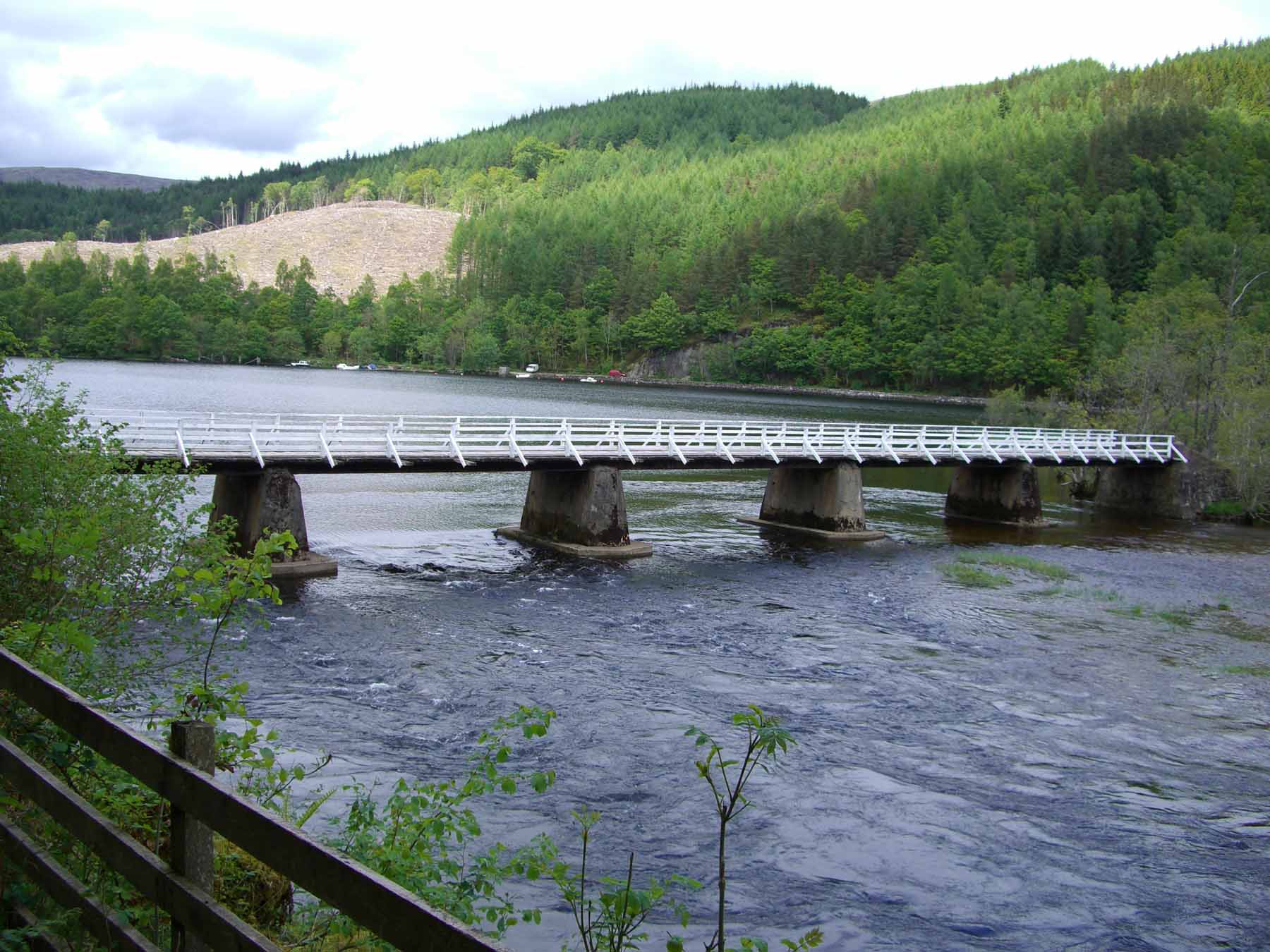
Clunes is a small hamlet, located on the west shore of Loch Lochy, less than 0.5 miles northeast of Bunarkaig in Inverness-shire, Scottish Highlands and is in the Highland council area of Scotland Scotland (, ) is a country that is part of the United Kingdom. Covering the northern third of the island of Great Britain, mainland Scotland has a border with England to the southeast and is otherwise surrounded by the Atlantic Ocean to th .... Geography Clunes lies 4 miles northeast of Gairlochy and 10 miles northeast of Spean Bridge. The B8005 road passes by Clunes on Loch Lochy, and heads west to Loch Arkaig. This section is known as the ''Mìle Dorcha'' (Gaelic for 'dark mile'), as the road runs through a heavily tree-lined, steep sided valley. The Great Glen Way long-distance Path/Cycle track (#78) also passes by Clunes, as it follows paths and forest tracks alongside Loch Lochy. References Populated places in Lochaber {{Highland-geo-stub ... [...More Info...] [...Related Items...] OR: [Wikipedia] [Google] [Baidu] |
Highland (council Area)
Highland ( gd, A' Ghàidhealtachd, ; sco, Hieland) is a council area in the Scottish Highlands and is the largest local government area in the United Kingdom. It was the 7th most populous council area in Scotland at the 2011 census. It shares borders with the council areas of Aberdeenshire, Argyll and Bute, Moray and Perth and Kinross. Their councils, and those of Angus and Stirling, also have areas of the Scottish Highlands within their administrative boundaries. The Highland area covers most of the mainland and inner-Hebridean parts of the historic counties of Inverness-shire and Ross and Cromarty, all of Caithness, Nairnshire and Sutherland and small parts of Argyll and Moray. Despite its name, the area does not cover the entire Scottish Highlands. Name Unlike the other council areas of Scotland, the name ''Highland'' is often not used as a proper noun. The council's website only sometimes refers to the area as being ''Highland'', and other times as being ''the ... [...More Info...] [...Related Items...] OR: [Wikipedia] [Google] [Baidu] |
Achnacarry
Achnacarry ( gd, Achadh na Cairidh) is a hamlet, private estate, and a castle in the Lochaber region of the Highlands, Scotland. It occupies a strategic position on an isthmus between Loch Lochy to the east, and Loch Arkaig to the west. Achnacarry has a long association with Clan Cameron: Sir Ewen Cameron of Lochiel built the original castle in 1655. This was destroyed by government troops led by the Duke of Cumberland after the Battle of Culloden. However, "New Achnacarry" was built near the same site in Scottish Baronial style in 1802. In the Second World War, it housed the Commando Basic Training Centre and the area retains close ties to British Commandos, the United States Army Rangers and similar units from other allied nations. In 1928 the Achnacarry Agreement was signed, an early attempt to set petroleum production quotas. Geography Achnacarry is not far from the village of Spean Bridge and about north of the town of Fort William. It has been described by Queen V ... [...More Info...] [...Related Items...] OR: [Wikipedia] [Google] [Baidu] |
Loch Lochy
Loch Lochy (Scottish Gaelic, ''Loch Lòchaidh'') is a large freshwater loch in Lochaber, Highland, Scotland.With a mean depth of , it is the third-deepest loch of Scotland. Geography Located southwest of Loch Ness along the Great Glen, the loch is over long with an average width of about . The River Lochy flows from its southwestern end while the Caledonian Canal links its northeastern extent to Loch Oich. Loch Lochy should not be confused with Loch Loch, which lies to the east of Beinn a' Ghlò. History The Battle of the Shirts was fought at its northern end near Laggan in July 1544, between Clan Donald and Clan Fraser.Appleton's European guide book for English-speaking travellers, Volume 1 page 92 (1886) The Stand-off at the Fords of Arkaig in September 1665 ended a 360-year feud between the Camerons and the Chattan Confederation. It took place at Achnacarry Achnacarry ( gd, Achadh na Cairidh) is a hamlet, private estate, and a castle in the Lochaber region of the Hi ... [...More Info...] [...Related Items...] OR: [Wikipedia] [Google] [Baidu] |
Bunarkaig
Bunarkaig (Scottish Gaelic: Bun Airceig) is a village on the north west shore of Loch Lochy in Lochaber, Inverness-shire, Highland and is in the Scottish council area of the Highlands Highland is a broad term for areas of higher elevation, such as a mountain range or mountainous plateau. Highland, Highlands, or The Highlands, may also refer to: Places Albania * Dukagjin Highlands Armenia * Armenian Highlands Australia *Sou .... References Populated places in Lochaber {{Highland-geo-stub ... [...More Info...] [...Related Items...] OR: [Wikipedia] [Google] [Baidu] |
Inverness-shire
Inverness-shire ( gd, Siorrachd Inbhir Nis) is a historic county, registration county and lieutenancy area of Scotland. Covering much of the Highlands and Outer Hebrides, it is Scotland's largest county, though one of the smallest in population, with 67,733 people or 1.34% of the Scottish population. Definition The extent of the lieutenancy area was defined in 1975 as covering the districts of Inverness, Badenoch & Strathspey, and Lochaber. Thus it differs from the county in that it includes parts of what were once Moray and Argyll, but does not include any of the Outer Hebrides which were given their own lieutenancy area — the Western Isles. Geography Inverness-shire is Scotland's largest county, and the second largest in the UK as a whole after Yorkshire. It borders Ross-shire to the north, Nairnshire, Moray, Banffshire and Aberdeenshire to the east, and Perthshire and Argyllshire to the south. Its mainland section covers a large area of the Highlands, bord ... [...More Info...] [...Related Items...] OR: [Wikipedia] [Google] [Baidu] |
Scottish Highlands
The Highlands ( sco, the Hielands; gd, a’ Ghàidhealtachd , 'the place of the Gaels') is a historical region of Scotland. Culturally, the Highlands and the Lowlands diverged from the Late Middle Ages into the modern period, when Lowland Scots replaced Scottish Gaelic throughout most of the Lowlands. The term is also used for the area north and west of the Highland Boundary Fault, although the exact boundaries are not clearly defined, particularly to the east. The Great Glen divides the Grampian Mountains to the southeast from the Northwest Highlands. The Scottish Gaelic name of ' literally means "the place of the Gaels" and traditionally, from a Gaelic-speaking point of view, includes both the Western Isles and the Highlands. The area is very sparsely populated, with many mountain range A mountain range or hill range is a series of mountains or hills arranged in a line and connected by high ground. A mountain system or mountain belt is a group of mountain ran ... [...More Info...] [...Related Items...] OR: [Wikipedia] [Google] [Baidu] |
Scotland
Scotland (, ) is a country that is part of the United Kingdom. Covering the northern third of the island of Great Britain, mainland Scotland has a border with England to the southeast and is otherwise surrounded by the Atlantic Ocean to the north and west, the North Sea to the northeast and east, and the Irish Sea to the south. It also contains more than 790 islands, principally in the archipelagos of the Hebrides and the Northern Isles. Most of the population, including the capital Edinburgh, is concentrated in the Central Belt—the plain between the Scottish Highlands and the Southern Uplands—in the Scottish Lowlands. Scotland is divided into 32 administrative subdivisions or local authorities, known as council areas. Glasgow City is the largest council area in terms of population, with Highland being the largest in terms of area. Limited self-governing power, covering matters such as education, social services and roads and transportation, is devolved from the ... [...More Info...] [...Related Items...] OR: [Wikipedia] [Google] [Baidu] |
Gairlochy
Gairlochy ''(Scottish Gaelic: Geàrr Lòchaidh)'' is a clachan, or hamlet, of population approx. 100. It lies on the southern shores of Loch Lochy, a large freshwater loch in the district of Lochaber in the North West Highlands of Scotland. Gairlochy is surrounded by several other small crofting settlements, the largest of which is Achnacarry. Also close by is Highbridge, the site of the first skirmish of the 1745 Jacobite uprising. Between 1803 and 1822, the Caledonian Canal was built, passing through Gairlochy, over the original site of the River Lochy. Two locks were built for access onto Lochy Lochy, but only one, the Upper Lock, is still in use. At the lower lock an end pivoted swingbridge and lock keepers' house is provided to carry the B8005 road and Great Glen Way over the canal. Completed in 1896, the Invergarry and Fort Augustus Railway passed through the clachan, with a small island-platform station, called Gairlochy Station, in nearby Mucomir, the current site o ... [...More Info...] [...Related Items...] OR: [Wikipedia] [Google] [Baidu] |
Spean Bridge
Spean Bridge ( gd, Drochaid an Aonachain) is a village in the parish of Kilmonivaig, in Lochaber in the Highland region of Scotland. The village takes its name from the Highbridge over the River Spean on General Wade's military road between Fort William and Fort Augustus, and not from Telford's bridge of 1819 which carries the A82 over the river at the heart of the village. The Highbridge Skirmish on 16 August 1745 was the first engagement of the Jacobite Rising of 1745. The Commando Memorial, dedicated to the men of the original British Commando Forces raised during Second World War, is located approximately north-west of Spean Bridge, at the junction of the A82 and the B8004. It overlooks the training areas of the Commando Training Depot established in 1942 at Achnacarry Castle. Transport Lying in the Great Glen, Spean Bridge has road links north towards Inverness and south to Fort William, provided by the A82, and the A86 heads east to join the A9 at Kingussie. ... [...More Info...] [...Related Items...] OR: [Wikipedia] [Google] [Baidu] |
Loch Arkaig
Loch Arkaig (Scottish Gaelic: Loch Airceig) is a body of freshwater in Lochaber, Scotland, to the west of the Great Glen. It is approximately in length and lies above sea level, the maximum depth is around The main tributaries are the Dessarry and the Pean which flow through the glens of the same names, falling into the loch at the extreme west end, by the settlement of Strathan. The mountains of Lochaber lie to the north, and the Forest of Locheil to the south. The outflow is through the River Arkaig at the extreme southeast of the loch, which flows eastwards to Loch Lochy, passing Achnacarry. Two small islands lie at the eastern end of the loch, the larger of which, Island Columbkill, or Eilean Loch Airceig, is the site of a ruined chapel dedicated to St Columba which is the former burial ground of the Camerons of Locheil. A road from the Great Glen follows the north shore of the loch to Strathan where paths lead on to Knoydart, Glenfinnan and Loch Morar. In 1746, Jacob ... [...More Info...] [...Related Items...] OR: [Wikipedia] [Google] [Baidu] |
Great Glen Way
The Great Glen Way ( gd, Slighe a' Ghlinne Mhòir) is a long distance path in Scotland. It follows the Great Glen, running from Fort William in the southwest to Inverness in the northeast, covering . It was opened in 2002, and is designated as one of Scotland's Great Trails by NatureScot. The Great Glen Way is generally walked from southwest to northeast to follow the direction of the prevailing wind. It can be walked in 5–7 days, or cycled in 2–3 days. The trail is maintained and improved by the Great Glen Ways partnership, which consists of Highland Council, Scottish Canals and Forestry and Land Scotland. About 30,000 people use the path every year, of whom about 4,500 complete the entire route. A temporary model railway known as '' The Biggest Little Railway in the World'' was laid and filmed over the Great Glen Way in the summer of 2017. Route description Beginning at the Old Fort in Fort William, the Great Glen Way skirts the shores of Loch Linnhe to Corpac ... [...More Info...] [...Related Items...] OR: [Wikipedia] [Google] [Baidu] |
Forest Track
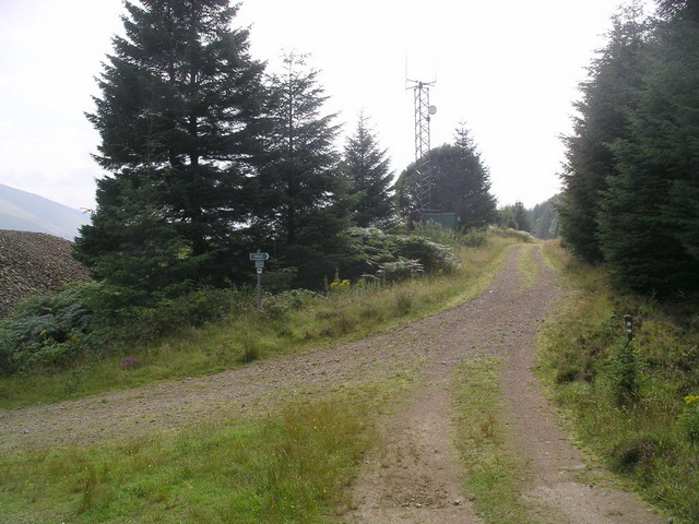
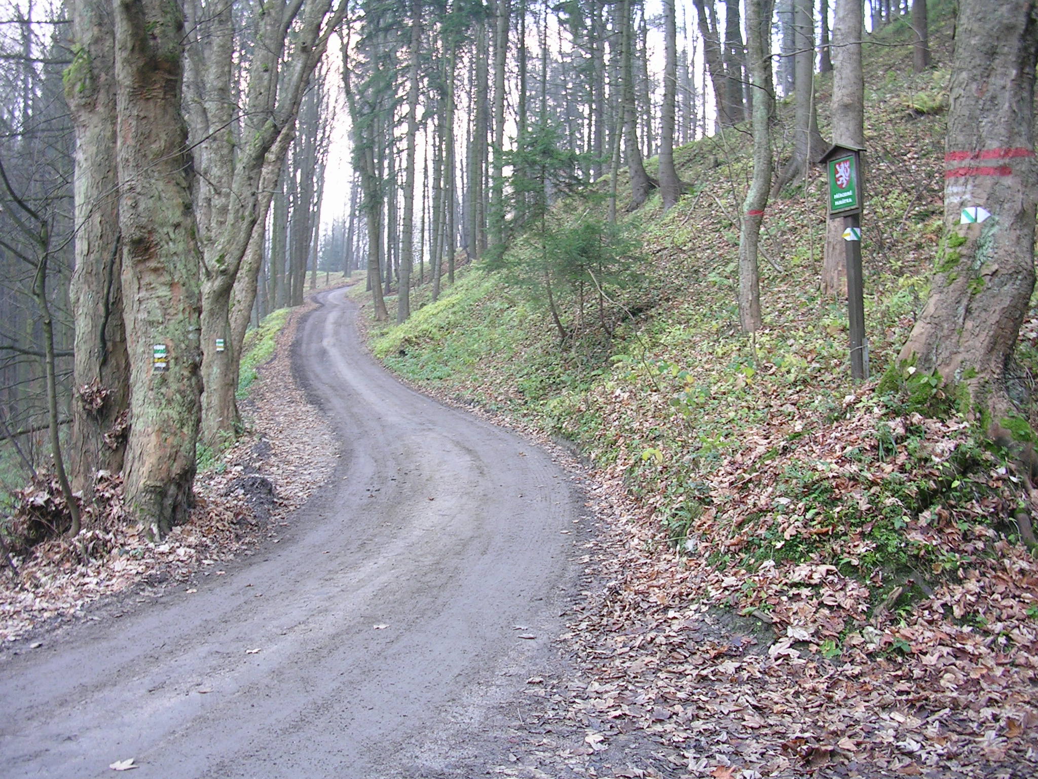
Forest tracks or forest roads are roads or tracks intended to carry motorised vehicles or horse-drawn wagons being used mainly or exclusively for forestry purposes, such as conservation or logging. Forest tracks may be open to ramblers or mountain bikers depending on local rules. Description Forest roads may be tarmacked, gravelled or metalled (using hard core) and often have restrictions on use. In many regions the establishment of forest roads is not only subject to approval under forest management law, but also conservation law. in Tyrol retrieved 28 June 2010 In and other especially important conservation areas, forest roads and tracks are generall ... [...More Info...] [...Related Items...] OR: [Wikipedia] [Google] [Baidu] |


