|
Clavering, Essex
Clavering is a village and civil parish in the Uttlesford district, in north-west Essex in England. It is about from Cambridge and from Southend-on-Sea. The name 'Clavering' means 'place where clover grows'. In 2011 it had a population of 1461. Location and local area Clavering lies 20 miles (32 km) south of Cambridge on the River Stort, close to the border with Hertfordshire. It is one of over 100 villages in the district of Uttlesford. Local towns are Saffron Walden, which is just over six miles north-east of the village, and Bishop's Stortford, eight miles to the south. The closest railway stations are Newport railway station (Essex), Newport and Audley End railway station, Audley End. Clavering is 10 miles from London Stansted Airport, Stansted Airport. Today, Clavering is a large and scattered village community that encompasses seven 'greens' and three 'ends', namely: Hill Green, Stickling Green, Starling's Green, Roast Green, Sheepcote Green, Birds Green, Deer's G ... [...More Info...] [...Related Items...] OR: [Wikipedia] [Google] [Baidu] |
Uttlesford
Uttlesford is a Non-metropolitan district, local government district in Essex, England. Its council is based in the town of Saffron Walden. The district also includes the town of Great Dunmow and numerous villages, including Stansted Mountfitchet, Takeley, Elsenham, Thaxted, and Newport, Essex, Newport. The district covers a largely rural area in the north-west of Essex. London Stansted Airport lies within the district. The neighbouring districts are Braintree District, Braintree, City of Chelmsford, Chelmsford, Epping Forest District, Epping Forest, East Hertfordshire, North Hertfordshire and South Cambridgeshire. History The district was formed on 1 April 1974 under the Local Government Act 1972 as one of 14 districts within Essex. The new district covered the area of three former districts, which were all abolished at the same time: *Dunmow Rural District *Saffron Walden Municipal Borough *Saffron Walden Rural District The new district was named after the ancient hundred (cou ... [...More Info...] [...Related Items...] OR: [Wikipedia] [Google] [Baidu] |
Angling
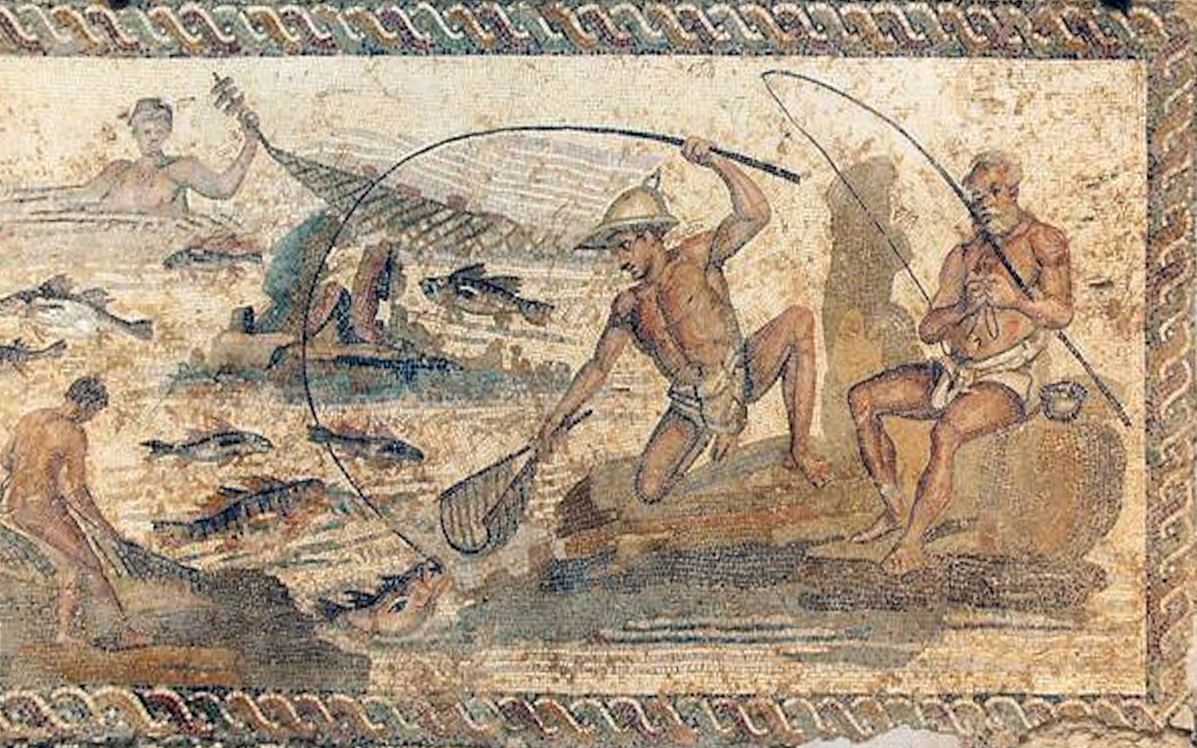
Angling (from Old English ''angol'', meaning "hook") is a fishing technique that uses a fish hook attached to a fishing line to tether individual fish in the mouth. The fishing line is usually manipulated with a fishing rod, although rodless techniques such as handlining also exist. Modern angling rods are usually fitted with a fishing reel that functions as a crank (mechanism), cranking device for storing, retrieving and releasing out the line, although Tenkara fishing and traditional cane pole fishing are two rod-angling methods that do not use any reel. The fish hook itself can be additionally weighted with a denser fishing tackle, tackle called a sinker (fishing), sinker, and is typically dressed with an appetizing bait (luring substance), bait (i.e. hookbait) to attract and entice the fish into swallowing the hook, but sometimes an inedible fake/imitation bait with multiple attached hooks (known as a fishing lure, lure) is used instead of a single hook with edible bait. Som ... [...More Info...] [...Related Items...] OR: [Wikipedia] [Google] [Baidu] |
Charles Green (astronomer)
Charles Green (baptised 26 December 1734 – 29 January 1771) was a British astronomer, noted for his assignment by the Royal Society in 1768 to the expedition sent to the Pacific Ocean in order to observe the transit of Venus aboard James Cook's '' Endeavour''. Early life and education Born sometime in December 1734, Green was the youngest son of Joshua Green, a prosperous farmer who lived near Swinton in South Yorkshire. His education, according to his future brother-in-law William Wales, was chiefly at a school near Denmark Street in Soho, London. This school was run by his eldest brother, the clergyman Rev. John Green, and the younger Green went on to become an assistant teacher there, continuing his studies in astronomy until he joined the staff of the Royal Greenwich Observatory in 1760. Career in astronomy Green was appointed as Assistant to the Astronomer Royal, James Bradley, succeeding the astronomer Charles Mason who left to join the expedition to the Cape of Go ... [...More Info...] [...Related Items...] OR: [Wikipedia] [Google] [Baidu] |
Elizabethan Era
The Elizabethan era is the epoch in the Tudor period of the history of England during the reign of Queen Elizabeth I (1558–1603). Historians often depict it as the golden age in English history. The Roman symbol of Britannia (a female personification of Great Britain) was revived in 1572, and often thereafter, to mark the Elizabethan age as a renaissance that inspired national pride through classical ideals, international expansion, and naval triumph over Spain. This "golden age" represented the apogee of the English Renaissance and saw the flowering of poetry, music, and literature. The era is most famous for its theatre, as William Shakespeare and many others composed plays that broke free of England's past style of theatre. It was an age of exploration and expansion abroad, while back at home, the Protestant Reformation became more acceptable to the people, most certainly after the Spanish Armada was repelled. It was also the end of the period when England was a sep ... [...More Info...] [...Related Items...] OR: [Wikipedia] [Google] [Baidu] |
Listed Building
In the United Kingdom, a listed building is a structure of particular architectural or historic interest deserving of special protection. Such buildings are placed on one of the four statutory lists maintained by Historic England in England, Historic Environment Scotland in Scotland, in Wales, and the Historic Environment Division of the Department for Communities in Northern Ireland. The classification schemes differ between England and Wales, Scotland, and Northern Ireland (see sections below). The term has also been used in the Republic of Ireland, where buildings are protected under the Planning and Development Act 2000, although the statutory term in Ireland is "Record of Protected Structures, protected structure". A listed building may not be demolished, extended, or altered without permission from the local planning authority, which typically consults the relevant central government agency. In England and Wales, a national amenity society must be notified of any work to ... [...More Info...] [...Related Items...] OR: [Wikipedia] [Google] [Baidu] |
Guildhall
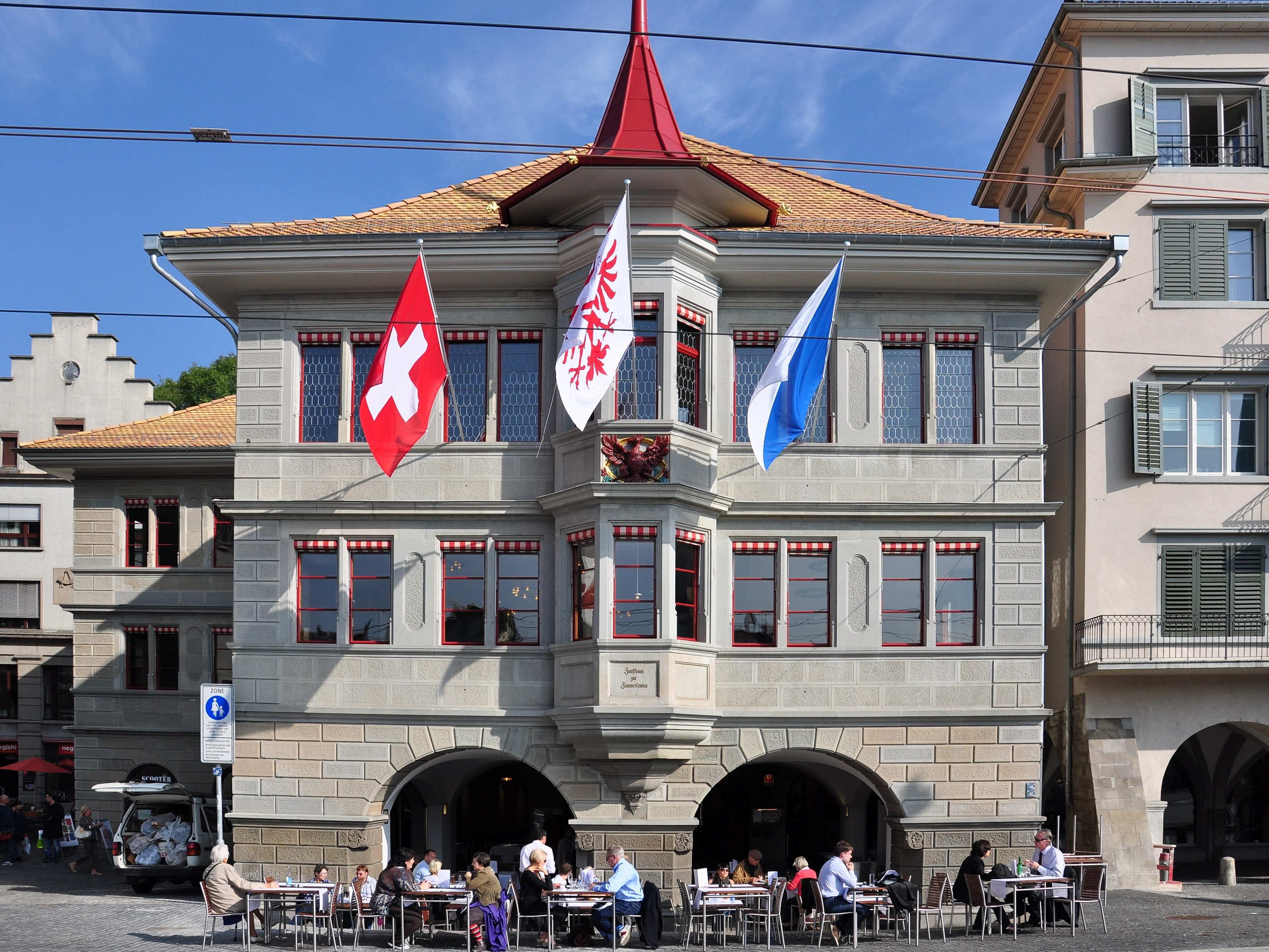
A guildhall, also known as a guild hall or guild house, is a historical building originally used for tax collecting by municipalities or merchants in Europe, with many surviving today in Great Britain and the Low Countries. These buildings commonly become town halls and in some cases museums while retaining their original names. As town hall in the United Kingdom In the United Kingdom, a guildhall is usually a town hall: in the vast majority of cases, the guildhalls have never served as the meeting place of any specific guild. A suggested etymology is from the Anglo Saxon "''gild'', or "payment"; the guildhall being where citizens came to pay their rates. The London Guildhall was established around 1120. For the Scottish municipal equivalent see tolbooth. List of guildhalls in the United Kingdom *Andover Guildhall *Guildhall, Barnstaple, Barnstaple Guildhall *Guildhall, Bath, Bath Guildhall *Beverley Guildhall *Bewdley Guildhall *Blakeney Guildhall *Bodmin Guildhall *Boston Gu ... [...More Info...] [...Related Items...] OR: [Wikipedia] [Google] [Baidu] |
Normans
The Normans (Norman language, Norman: ''Normaunds''; ; ) were a population arising in the medieval Duchy of Normandy from the intermingling between Norsemen, Norse Viking settlers and locals of West Francia. The Norse settlements in West Francia followed a series of raids on the French northern coast mainly from what is now Denmark, although some also sailed from Norway and Sweden. These settlements were finally legitimized when Rollo, a Scandinavian Vikings, Viking leader, agreed to swear fealty to Charles the Simple, King Charles III of West Francia following the Siege of Chartres (911), siege of Chartres in 911, leading to the formation of the ''County of Rouen''. This new fief, through kinship in the decades to come, would expand into what came to be known as the ''Duchy of Normandy''. The Norse settlers, whom the region as well as its inhabitants were named after, adopted the language, Christianity, religion, culture, social customs and military, martial doctrine of the Wes ... [...More Info...] [...Related Items...] OR: [Wikipedia] [Google] [Baidu] |
Clavering Castle
Clavering Castle remains are situated in the small parish village of Clavering in the county of Essex, England, 50m north of the church of St Mary and St Clement on the southern bank of the River Stort, some north of Bishop's Stortford (). History Pre-Conquest The site of this castle is unusual in that the ringworks and earthworks that remain have been identified as predating the Norman Conquest, and Clavering Castle was built no later than 1052. Ringworks are medieval fortifications built and occupied from late Anglo-Saxon times to the later 12th century. A ringwork was a small defended area which contained buildings surrounded or partially surrounded by a large ditch and a bank topped with a timber palisade or, more unusually, a stone wall. Occasionally a more lightly defended embanked enclosure, the bailey, adjoined the ringwork. Ringworks acted as strongholds for military operations and defended aristocratic or major settlements. They are rare, and there are only 200 record ... [...More Info...] [...Related Items...] OR: [Wikipedia] [Google] [Baidu] |
Domesday Book
Domesday Book ( ; the Middle English spelling of "Doomsday Book") is a manuscript record of the Great Survey of much of England and parts of Wales completed in 1086 at the behest of William the Conqueror. The manuscript was originally known by the Latin name , meaning "Book of Winchester, Hampshire, Winchester", where it was originally kept in the royal treasury. The ''Anglo-Saxon Chronicle'' states that in 1085 the king sent his agents to survey every shire in England, to list his holdings and dues owed to him. Written in Medieval Latin, it was Scribal abbreviation, highly abbreviated and included some vernacular native terms without Latin equivalents. The survey's main purpose was to record the annual value of every piece of landed property to its lord, and the resources in land, labour force, and livestock from which the value derived. The name "Domesday Book" came into use in the 12th century. Richard FitzNeal wrote in the ( 1179) that the book was so called because its de ... [...More Info...] [...Related Items...] OR: [Wikipedia] [Google] [Baidu] |
Langley, Essex
''For the historic house in Essex called Langley's, see Great Waltham.'' Langley is a village and civil parish near Clavering in the English county of Essex, seven miles west-south-west of Saffron Walden. Governance There is a Langley Parish Council. It is located in the local government district of Uttlesford and within the Saffron Walden (UK Parliament constituency). Topography The Parish of Langley consists of two parts, "Langley Upper Green" and "Langley Lower Green" which are linked by roads and footpaths. Bull Lane connects Upper and Lower Green. The Upper Green has OS grid reference () and the Lower Green has OS grid reference (). The River Stort passes through Langley Lower Green. The highest point of the county of Essex at 482 feet (147 m) is near to the village of Langley at Chrishall Common, close to the Hertfordshire border. Description Langley in Essex adjoins two other counties Hertfordshire and Cambridgeshire, which are both visible on its horizons a ... [...More Info...] [...Related Items...] OR: [Wikipedia] [Google] [Baidu] |
Wicken Bonhunt
__NOTOC__ Wicken Bonhunt is a village and a civil parish of north-west Essex, in the non-metropolitan district of Uttlesford, England. It is on the B1038 (Buntingford) road and is midway between the larger villages of Newport and Clavering. The nearest town is Saffron Walden, approximately away. Stansted Airport is approximately away. The civil parish has a population of approximately 839. History Originally, Wicken Bonhunt may have been two separate communities, and the name possibly derives from old English for dairy farm (''wic'', pl. ''wicum'') and huntsmen liable to be summoned (''bann-huntan''). Wicken Bonhunt is listed in the ''Domesday Book'' in the hundred of Uttlesford as the manors of 'Wica' and 'Banhunta', with 23 households, nine villagers, 11 smallholders and three slaves. In 1238, it is referred to in subsidy rolls as 'Wykes Bonhunte'. Signs of this early settlement include the 10th- or 11th-century former Chapel of St Helen in the grounds of Bonhunt Farm ... [...More Info...] [...Related Items...] OR: [Wikipedia] [Google] [Baidu] |
Arkesden
Arkesden is a village and civil parish in the Uttlesford district of Essex, England. The village is south-west from Saffron Walden, approximately from Bishop's Stortford, Hertfordshire, and north-west from the county town of Chelmsford. The Wicken Water stream flows through the village. Arkesden is referred to as "Archesdana" in Domesday Book of 1086, located in the ancient hundred of Uttlesford. Accessed 6 January 2022. The parish, with its own , is part of the parliamentary constituency of |


