|
Chikaar
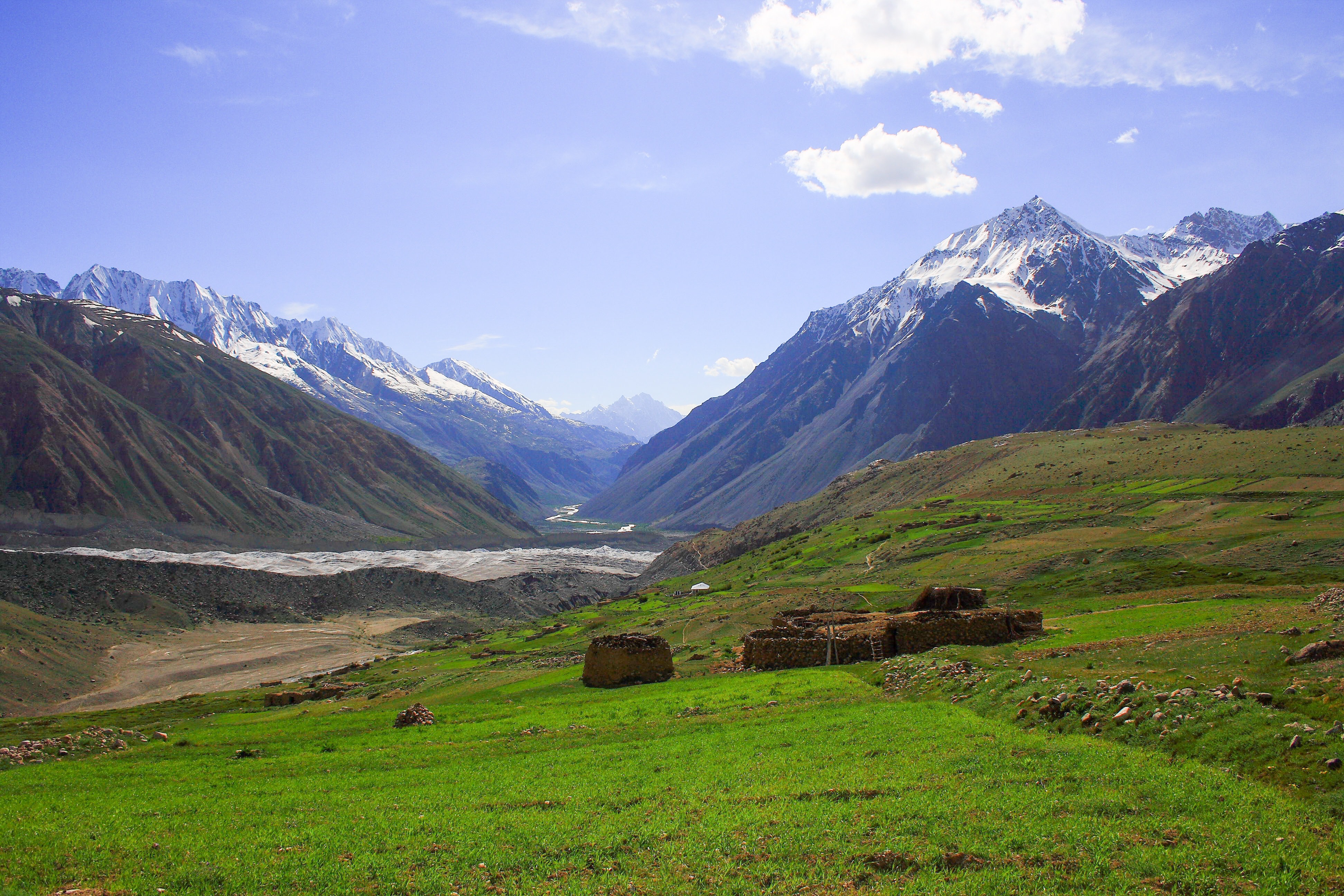
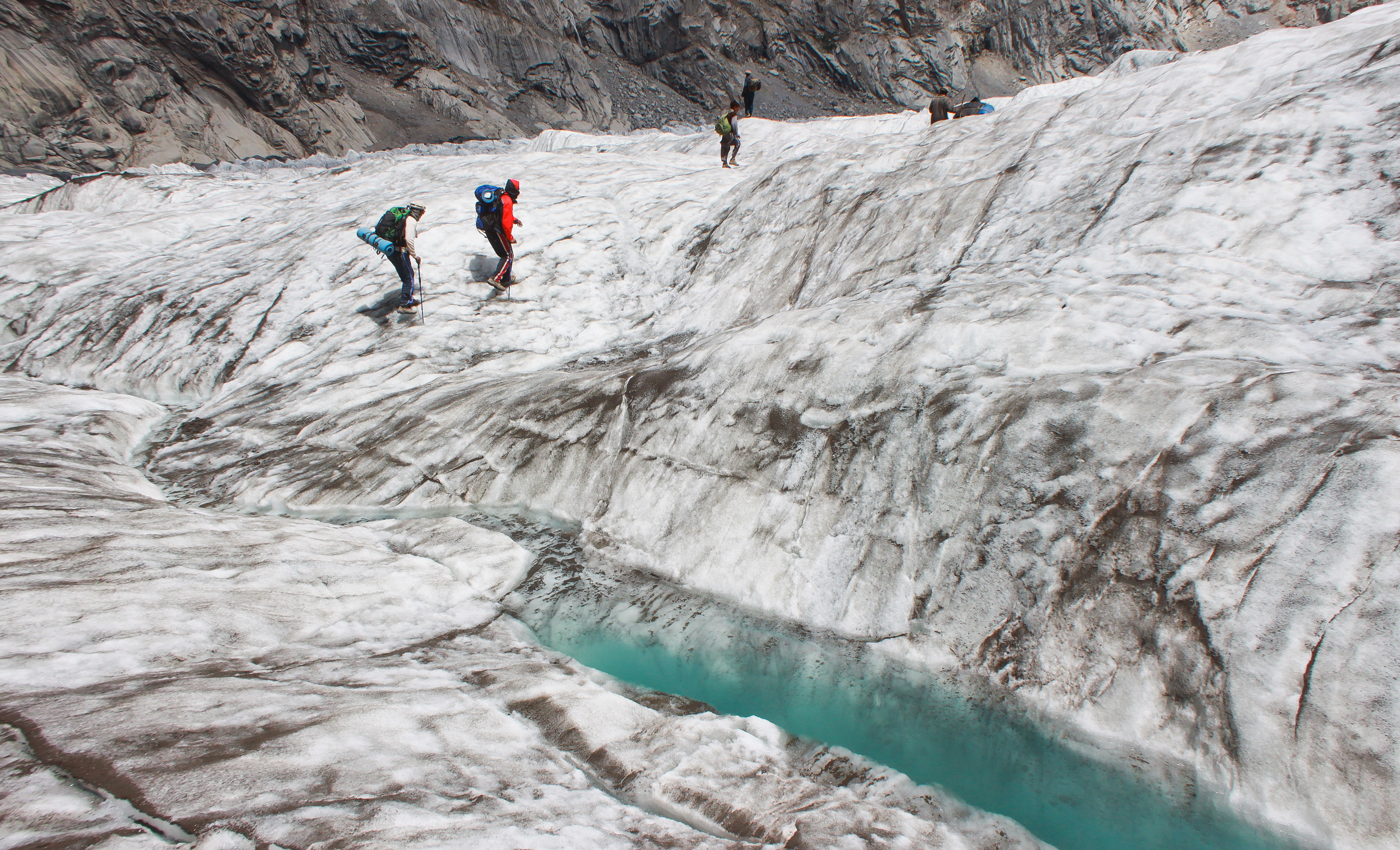
Chikaar ( ur, ) is a high plain and gateway to Darkot Pass The border between Chitral District and Gupis-Yasin District of Gilgit-Baltistan. It is a small village of around 200 families. Landscape around the village offers superb scenery of clouds and sky piercing peaks. In the last decade it has got significant importance due to the relatively easy route that it offers towards Darkot Pass. Climbers and trekkers take porters from this point towards Darkot base camp. Though electricity is not available but few of the houses have solar panels to run home appliances. Usually trekkers take the benefit out of their hospitality and get their electronic equipment i.e. phone, camera etc. charged through solar panels. An upper and next stage is Darkoot base-camp (often quoted as Chikaar Base). Chikaar base-camp is located at the left side of the accumulation zone of the Darkoot glacier. Trekkers and climbers make stopovers here to start their journey towards Darkot pass from Darkot gl ... [...More Info...] [...Related Items...] OR: [Wikipedia] [Google] [Baidu] |
Baroghil Valley
Broghil Valley National Park ( ur, بروغل) is located in the upper northern reaches of the Chitral District, Khyber Pakhtunkhwa, Pakistan, close to the Afghan-Pakistan border. Geography Broghil Valley is from the main town of Chitral and is the northernmost valley within the Chitral district. Broghil valley borders on the Afghan Wakhan corridor, which stretches between Tajikistan and Pakistan. The area is mostly mountainous. Elevations range from between at the village of Kishmanjah to at Karambar Lake in the northeast. The terrain is undulating with mountains, grassy plains, and valleys. It includes almost 3,400 ha of peatlands and lakes.Hydrological assessment of significant lakes in Broghil and Qurumbar Valleys, Northern Alpine Wetlands Complex. The valley features around 30 freshwater lakes and is surrounded by glaciers and mountains. Tourism The Broghil valley’s remote location makes it a hard-to-reach tourist destination. Many communities in Broghil lack ac ... [...More Info...] [...Related Items...] OR: [Wikipedia] [Google] [Baidu] |
Darkot Pass
Darkot pass ( ur, {{nq, درۂ درکوٹ ) (el. 15,430 ft., open May through October) is a high mountain pass that connects Baroghil Valley in Chitral and Rawat valley of Ghizer District in Gilgit, Pakistan. It is also known as "Darkut". The pass is about 10 miles to the east of Koyo Zom (Zum) (6872m), the highest peak in Ghizer District. The border between Chitral and Northern Areas runs through the pass over Darkot Glacier. Eight miles to the south is Darkot village on the River Darkot, a small tributary of Ghizer River). To the southwest of Darkot pass is Chitral. Ten miles to the northwest of the pass is Chilmarabad, a village one mile south of the Boroghil pass. See also * Chikaar * Baroghil Valley Broghil Valley National Park ( ur, بروغل) is located in the upper northern reaches of the Chitral District, Khyber Pakhtunkhwa, Pakistan, close to the Afghan-Pakistan border. Geography Broghil Valley is from the main town of Chitral a ... Mountain passes o ... [...More Info...] [...Related Items...] OR: [Wikipedia] [Google] [Baidu] |
Pakistan
Pakistan ( ur, ), officially the Islamic Republic of Pakistan ( ur, , label=none), is a country in South Asia. It is the world's List of countries and dependencies by population, fifth-most populous country, with a population of almost 243 million people, and has the world's Islam by country#Countries, second-largest Muslim population just behind Indonesia. Pakistan is the List of countries and dependencies by area, 33rd-largest country in the world by area and 2nd largest in South Asia, spanning . It has a coastline along the Arabian Sea and Gulf of Oman in the south, and is bordered by India to India–Pakistan border, the east, Afghanistan to Durand Line, the west, Iran to Iran–Pakistan border, the southwest, and China to China–Pakistan border, the northeast. It is separated narrowly from Tajikistan by Afghanistan's Wakhan Corridor in the north, and also shares a maritime border with Oman. Islamabad is the nation's capital, while Karachi is its largest city and fina ... [...More Info...] [...Related Items...] OR: [Wikipedia] [Google] [Baidu] |
Hindukush Mountains
The Hindu Kush is an mountain range in Central and South Asia to the west of the Himalayas. It stretches from central and western Afghanistan, Quote: "The Hindu Kush mountains run along the Afghan border with the North-West Frontier Province of Pakistan". into northwestern Pakistan and far southeastern Tajikistan. The range forms the western section of the ''Hindu Kush Himalayan Region'' (''HKH''); to the north, near its northeastern end, the Hindu Kush buttresses the Pamir Mountains near the point where the borders of China, Pakistan and Afghanistan meet, after which it runs southwest through Pakistan and into Afghanistan near their border. The eastern end of the Hindu Kush in the north merges with the Karakoram Range.Karakoram Range: MOUNTAINS, ASIA Encyclopædia Britannica Towards it ... [...More Info...] [...Related Items...] OR: [Wikipedia] [Google] [Baidu] |
Chitral District
Chitral District ( ur, ) was the largest district in the Khyber-Pakhtunkhwa province of Pakistan, covering an area of 14,850 km², before splitting into Upper Chitral District and Lower Chitral District in 2018. Part of the Malakand Division, it is the northernmost district of Pakistan. It shares a border with Gilgit-Baltistan to the east, with Kunar, Badakshan and Nuristan provinces of Afghanistan to the north and west, and with the Khyber-Pakhtunkhwa districts of Swat and Dir to the south. A narrow strip of Wakhan Corridor separates Chitral from Tajikistan in the north. History Chitral shares much of its history and culture with the neighboring Hindu Kush territories of Gilgit-Baltistan, a region sometimes called "Peristan" because of the common belief in fairies (''peri'') inhabiting the high mountains. The entire region that now forms the Chitral District was an independent monarchical state until 1895, when the British negotiated a treaty with its here ... [...More Info...] [...Related Items...] OR: [Wikipedia] [Google] [Baidu] |
Gupis-Yasin District
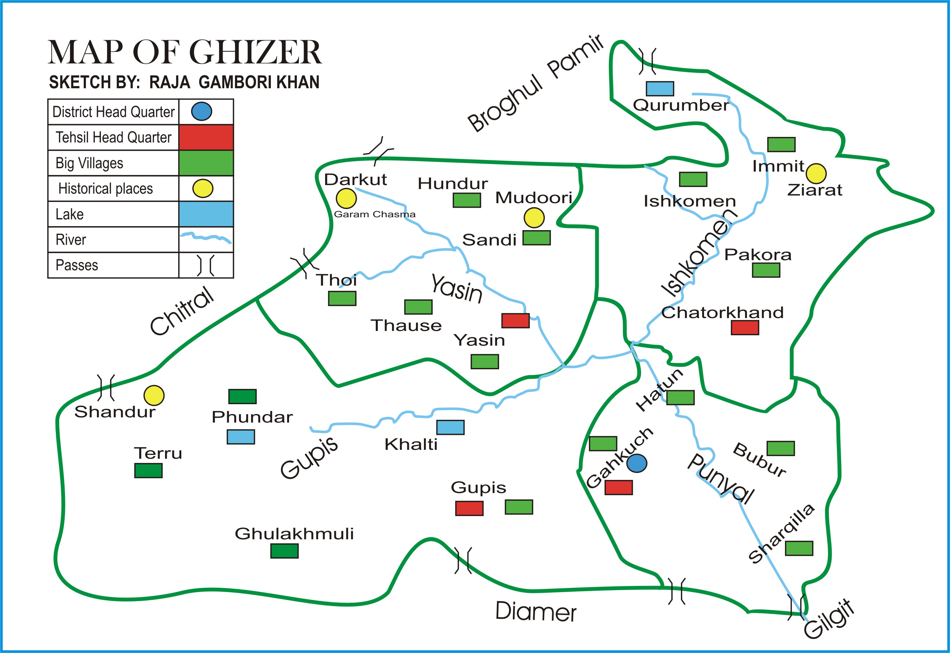
The Gupis-Yasin District ( ur, ) is the westernmost district of the 14 districts of Pakistan-administered territory of Gilgit-Baltistan. The Gupis-Yasin District was created in 2019 from the Gupis Tehsil and the Yasin Tehsil, which were the two western tehsils of the former, larger Ghizer District. Geography The Gupis-Yasin District is bounded on the north and west by the Upper Chitral District of Pakistan's Khyber Pakhtunkhwa Province, on the east by the Ghizer District, on the south by the Swat District of Pakistan's Khyber Pakhtunkhwa Province and the Upper Kohistan District of Pakistan's Khyber Pakhtunkhwa Province. The map of the former Ghizer District shows the Yasin Tehsil and the former, larger Gupis Tehsil, which was subsequently divided into two tehsils: the present, smaller Gupis Tehsil and the Phander Tehsil. The present Ghizer District consists of the Ishkoman Tehsil and the Punial Tehsil The valley of Punial (Urdu: پونیال) is situated in Ghize ... [...More Info...] [...Related Items...] OR: [Wikipedia] [Google] [Baidu] |
Gilgit-Baltistan
Gilgit-Baltistan (; ), formerly known as the Northern Areas, is a region administered by Pakistan as an administrative units of Pakistan, administrative territory, and constituting the northern portion of the larger Kashmir region which has been the subject of a dispute between India and Pakistan since 1947, and between India and China from somewhat later.The application of the term "administered" to the various regions of Kashmir and a mention of the Kashmir dispute is supported by the WP:TERTIARY, tertiary sources (a) through (d), reflecting WP:DUE, due weight in the coverage. Although "controlled" and "held" are also applied neutrally to the names of the disputants or to the regions administered by them, as evidenced in sources (e) through (g) below, "held" is also considered politicized usage, as is the term "occupied," (see (h) below): (a) (subscription required) Quote: "Kashmir, region of the northwestern Indian subcontinent ... has been the subject of dispute between ... [...More Info...] [...Related Items...] OR: [Wikipedia] [Google] [Baidu] |
Accumulation Zone
On a glacier, the accumulation zone is the area above the firn line, where snowfall accumulates and exceeds the losses from ablation, (melting, evaporation, and sublimation). The annual equilibrium line separates the accumulation and ablation zone Ablation zone or ''ablation area'' refers to the low-altitude area of a glacier or ice sheet below firn with a net loss in ice mass due to melting, sublimation, evaporation, ice calving, aeolian processes like blowing snow, avalanche, and any o ... annually. The accumulation zone is also defined as the part of a glacier's surface, usually at higher elevations, on which there is net accumulation of snow, which subsequently turns into firn and then glacier ice. Part of the glacier where snow builds up and turns to ice moves outward from there. External links * * Glaciology {{Glaciology-stub ... [...More Info...] [...Related Items...] OR: [Wikipedia] [Google] [Baidu] |


_20.jpg)

