|
Castile Formation
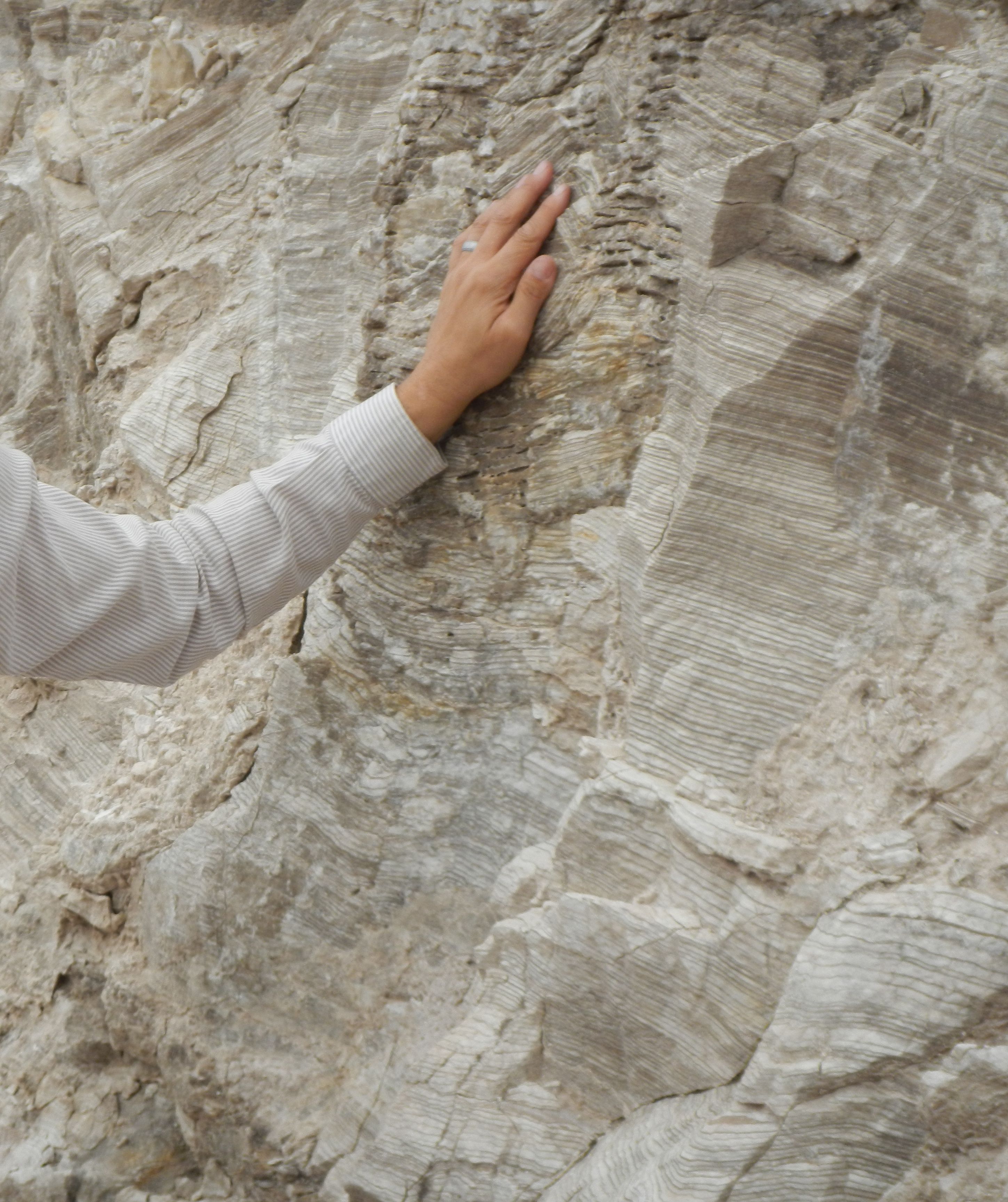
The Castile Formation is a geologic formation in west Texas and southeastern New Mexico, United States. It was deposited in the Ochoan Stage of the Permian period. Description The formation consists of up to of gypsum or anhydrite with a few thin beds of limestone. The formation is found within the Delaware Basin and was deposited after the formation of the Capitan Formation, the fossil reef defining the margins of the Delaware Basin. The formation lies on the Bell Canyon Formation and in turn is overlain by the Salado Formation, which is characterized in the subsurface by a thick sequence of halite beds. In locations towards the margins of the Delaware Basin, the Salado Formation is composed mostly of anhydrite and gypsum resembling the Castile, and here the contact is placed at a brecciated bed thought to represent an unconformity between the two formations. The Castile Formation, and the overlying Salado Formation, form an evaporite sequence that formed in a very deep basin ( ... [...More Info...] [...Related Items...] OR: [Wikipedia] [Google] [Baidu] |
Formation (stratigraphy)
A geological formation, or simply formation, is a body of rock having a consistent set of physical characteristics (lithology) that distinguishes it from adjacent bodies of rock, and which occupies a particular position in the layers of rock exposed in a geographical region (the stratigraphic column). It is the fundamental unit of lithostratigraphy, the study of strata or rock layers. A formation must be large enough that it can be mapped at the surface or traced in the subsurface. Formations are otherwise not defined by the thickness of their rock strata, which can vary widely. They are usually, but not universally, tabular in form. They may consist of a single lithology (rock type), or of alternating beds of two or more lithologies, or even a heterogeneous mixture of lithologies, so long as this distinguishes them from adjacent bodies of rock. The concept of a geologic formation goes back to the beginnings of modern scientific geology. The term was used by Abraham Gottlob W ... [...More Info...] [...Related Items...] OR: [Wikipedia] [Google] [Baidu] |
Stage (geology)
In chronostratigraphy, a stage is a succession of rock strata laid down in a single age on the geologic timescale, which usually represents millions of years of deposition. A given stage of rock and the corresponding age of time will by convention have the same name, and the same boundaries. Rock series are divided into stages, just as geological epochs are divided into ages. Stages can be divided into smaller stratigraphic units called chronozones. (See chart at right for full terminology hierarchy.) Stages may also be divided into substages or indeed grouped as superstages. The term faunal stage is sometimes used, referring to the fact that the same fauna (animals) are found throughout the layer (by definition). Definition Stages are primarily defined by a consistent set of fossils (biostratigraphy) or a consistent magnetic polarity (see paleomagnetism) in the rock. Usually one or more index fossils that are common, found worldwide, easily recognized, and limited to a ... [...More Info...] [...Related Items...] OR: [Wikipedia] [Google] [Baidu] |
Pecos River
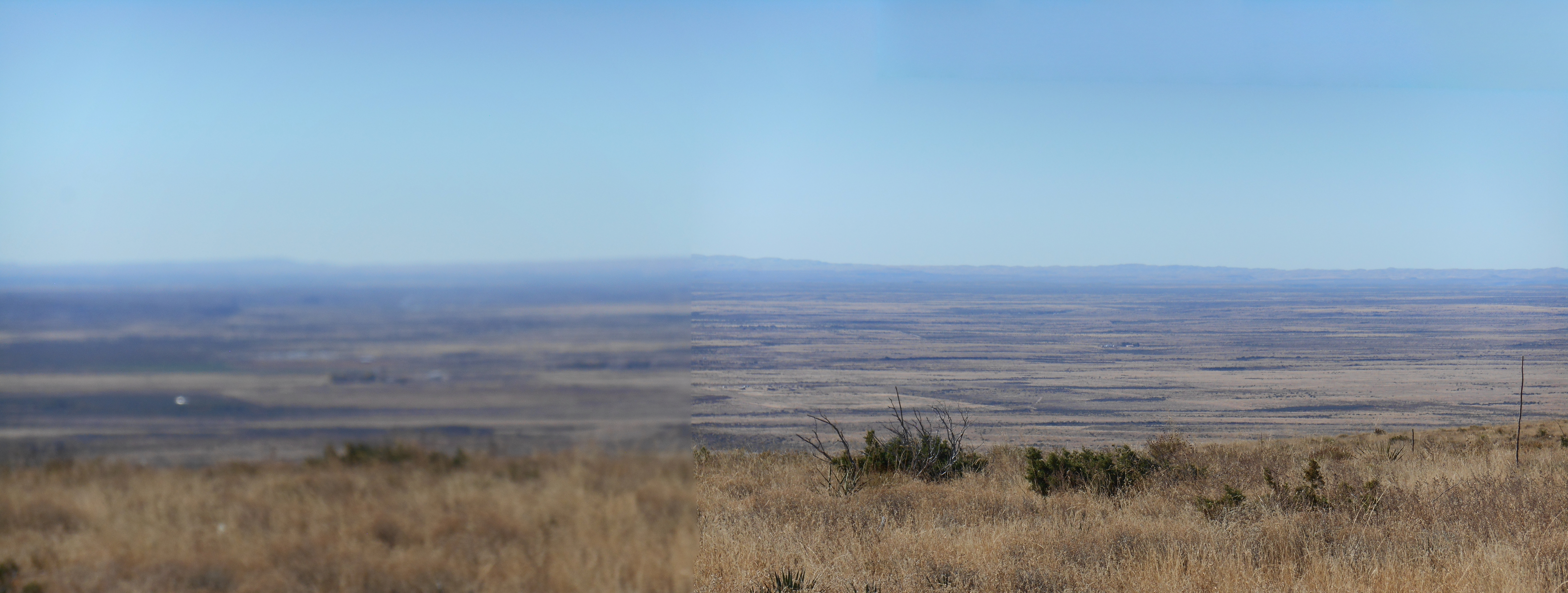
The Pecos River ( es, Río Pecos) originates in north-central New Mexico and flows into Texas, emptying into the Rio Grande. Its headwaters are on the eastern slope of the Sangre de Cristo mountain range in Mora County north of Pecos, New Mexico, at an elevation of over 12,000 feet (3,700 m). The river flows for 926 miles (1,490 km) before reaching the Rio Grande near Del Rio. Its drainage basin encompasses about 44,300 square miles (115,000 km2).Largest Rivers of the United States USGS The name "Pecos" derives from the (Native American language) term for the Pecos Pueblo, '' ... [...More Info...] [...Related Items...] OR: [Wikipedia] [Google] [Baidu] |
Castile AIII
Castile, Castille or Castilla may refer to: Places Spain *Castile (historical region), a vaguely defined historical region of Spain covering most of Castile and León, all of the Community of Madrid and most of Castilla–La Mancha *Kingdom of Castile, one of the medieval kingdoms of the Iberian peninsula, 1065–1230 *Crown of Castile, a medieval state in the Iberian Peninsula that formed in 1230 *Two regions of the Kingdom of Spain (until 1982): **Old Castile, in the north **New Castile (Spain), in the south *Two contemporary autonomous communities of Spain: **Castile and León, in the north **Castilla–La Mancha, in the south Elsewhere *Castile, New York *Castile (village), New York *Castilla District, Piura Province, Peru *Castilla de Oro, name given by Spanish in 16th century to Central American territories *Governorate of New Castile, modern Peru *Castilla, Sorsogon, municipality in Sorsogon, Philippines Other uses * Castile (surname) * Castilians, inhabitants of the his ... [...More Info...] [...Related Items...] OR: [Wikipedia] [Google] [Baidu] |
Evaporite
An evaporite () is a water- soluble sedimentary mineral deposit that results from concentration and crystallization by evaporation from an aqueous solution. There are two types of evaporite deposits: marine, which can also be described as ocean deposits, and non-marine, which are found in standing bodies of water such as lakes. Evaporites are considered sedimentary rocks and are formed by chemical sediments. Formation of evaporite rocks Although all water bodies on the surface and in aquifers contain dissolved salts, the water must evaporate into the atmosphere for the minerals to precipitate. For this to happen, the water body must enter a restricted environment where water input into this environment remains below the net rate of evaporation. This is usually an arid environment with a small basin fed by a limited input of water. When evaporation occurs, the remaining water is enriched in salts, and they precipitate when the water becomes supersaturated. Evaporite depo ... [...More Info...] [...Related Items...] OR: [Wikipedia] [Google] [Baidu] |
Halite
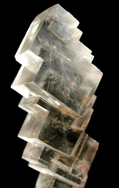
Halite (), commonly known as rock salt, is a type of salt, the mineral (natural) form of sodium chloride ( Na Cl). Halite forms isometric crystals. The mineral is typically colorless or white, but may also be light blue, dark blue, purple, pink, red, orange, yellow or gray depending on inclusion of other materials, impurities, and structural or isotopic abnormalities in the crystals. It commonly occurs with other evaporite deposit minerals such as several of the sulfates, halides, and borates. The name ''halite'' is derived from the Ancient Greek word for "salt", ἅλς (''háls''). Occurrence Halite dominantly occurs within sedimentary rocks where it has formed from the evaporation of seawater or salty lake water. Vast beds of sedimentary evaporite minerals, including halite, can result from the drying up of enclosed lakes and restricted seas. Such salt beds may be hundreds of meters thick and underlie broad areas. Halite occurs at the surface today in playas in ... [...More Info...] [...Related Items...] OR: [Wikipedia] [Google] [Baidu] |
Capitan Formation
The Capitan Formation is a geologic formation found in western Texas and southeastern New Mexico. It is a fossilized reef dating to the Guadalupian Age of the Permian period. The formation underlies El Capitan in Guadalupe Mountains National Park,"Geologic Formations." Gualadupe Mountains National Park and the formation and its associated basin, shelf margin, and backreef formations have been described as "the largest, best-preserved, most accessible, and most intensively studied Paleozoic reef complex in the world."Kues and Giles 2004, p.125 History of investigation The Guadalupe Mountains were first described in the reports of 1849 and 1850 United States military expeditions to the area. George Shumard was the first geologist to study the area, in 1855, and described an "upper white limestone" containing fossils. These included fusulinids and brachiopods, that were identified correctly by his brother, B.F. Shumard, as Permian in age. However, debate on whether the beds w ... [...More Info...] [...Related Items...] OR: [Wikipedia] [Google] [Baidu] |
Delaware Basin
The Delaware Basin is a geologic depositional and structural basin in West Texas and southern New Mexico, famous for holding large oil fields and for a fossilized reef exposed at the surface. Guadalupe Mountains National Park and Carlsbad Caverns National Park protect part of the basin. It is part of the larger Permian Basin, itself contained within the Mid-Continent oil province. Geology By earliest Permian time, during the Wolfcampian Epoch, the ovoid shaped subsiding Delaware Basin extended over 10,000 square miles (26,000 km²) in what is now western Texas and southeast New Mexico.. This period of deposition left a thickness of 1600 to 2200 feet (490 to 670 m) of limestone interbedded with dark-colored shale. A narrow outlet that geologists call the ''Hovey Channel'' periodically supplied new seawater from the Panthalassa Ocean to the west. The somewhat smaller and shallower Midland Basin was just east and the much smaller Marfa Basin was to the southwes ... [...More Info...] [...Related Items...] OR: [Wikipedia] [Google] [Baidu] |
Anhydrite
Anhydrite, or anhydrous calcium sulfate, is a mineral with the chemical formula CaSO4. It is in the orthorhombic crystal system, with three directions of perfect cleavage parallel to the three planes of symmetry. It is not isomorphous with the orthorhombic barium ( baryte) and strontium ( celestine) sulfates, as might be expected from the chemical formulas. Distinctly developed crystals are somewhat rare, the mineral usually presenting the form of cleavage masses. The Mohs hardness is 3.5, and the specific gravity is 2.9. The color is white, sometimes greyish, bluish, or purple. On the best developed of the three cleavages, the lustre is pearly; on other surfaces it is glassy. When exposed to water, anhydrite readily transforms to the more commonly occurring gypsum, (CaSO4·2H2O) by the absorption of water. This transformation is reversible, with gypsum or calcium sulfate hemihydrate forming anhydrite by heating to around under normal atmospheric conditions. Anhydrite is c ... [...More Info...] [...Related Items...] OR: [Wikipedia] [Google] [Baidu] |
Gypsum
Gypsum is a soft sulfate mineral composed of calcium sulfate dihydrate, with the chemical formula . It is widely mined and is used as a fertilizer and as the main constituent in many forms of plaster, blackboard or sidewalk chalk, and drywall. Alabaster, a fine-grained white or lightly tinted variety of gypsum, has been used for sculpture by many cultures including Ancient Egypt, Mesopotamia, Ancient Rome, the Byzantine Empire, and the Nottingham alabasters of Medieval England. Gypsum also crystallizes as translucent crystals of selenite. It forms as an evaporite mineral and as a hydration product of anhydrite. The Mohs scale of mineral hardness defines gypsum as hardness value 2 based on scratch hardness comparison. Etymology and history The word '' gypsum'' is derived from the Greek word (), "plaster". Because the quarries of the Montmartre district of Paris have long furnished burnt gypsum ( calcined gypsum) used for various purposes, this dehydrated gyp ... [...More Info...] [...Related Items...] OR: [Wikipedia] [Google] [Baidu] |
Period (geology)
The geologic time scale, or geological time scale, (GTS) is a representation of time based on the rock record of Earth. It is a system of chronological dating that uses chronostratigraphy (the process of relating strata to time) and geochronology (scientific branch of geology that aims to determine the age of rocks). It is used primarily by Earth scientists (including geologists, paleontologists, geophysicists, geochemists, and paleoclimatologists) to describe the timing and relationships of events in geologic history. The time scale has been developed through the study of rock layers and the observation of their relationships and identifying features such as lithologies, paleomagnetic properties, and fossils. The definition of standardized international units of geologic time is the responsibility of the International Commission on Stratigraphy (ICS), a constituent body of the International Union of Geological Sciences (IUGS), whose primary objective is to precisely ... [...More Info...] [...Related Items...] OR: [Wikipedia] [Google] [Baidu] |
Permian
The Permian ( ) is a geologic period and stratigraphic system which spans 47 million years from the end of the Carboniferous Period million years ago (Mya), to the beginning of the Triassic Period 251.9 Mya. It is the last period of the Paleozoic Era; the following Triassic Period belongs to the Mesozoic Era. The concept of the Permian was introduced in 1841 by geologist Sir Roderick Murchison, who named it after the region of Perm in Russia. The Permian witnessed the diversification of the two groups of amniotes, the synapsids and the sauropsids ( reptiles). The world at the time was dominated by the supercontinent Pangaea, which had formed due to the collision of Euramerica and Gondwana during the Carboniferous. Pangaea was surrounded by the superocean Panthalassa. The Carboniferous rainforest collapse left behind vast regions of desert within the continental interior. Amniotes, which could better cope with these drier conditions, rose to dominance in place of th ... [...More Info...] [...Related Items...] OR: [Wikipedia] [Google] [Baidu] |


