|
Campbell (CDP), New York
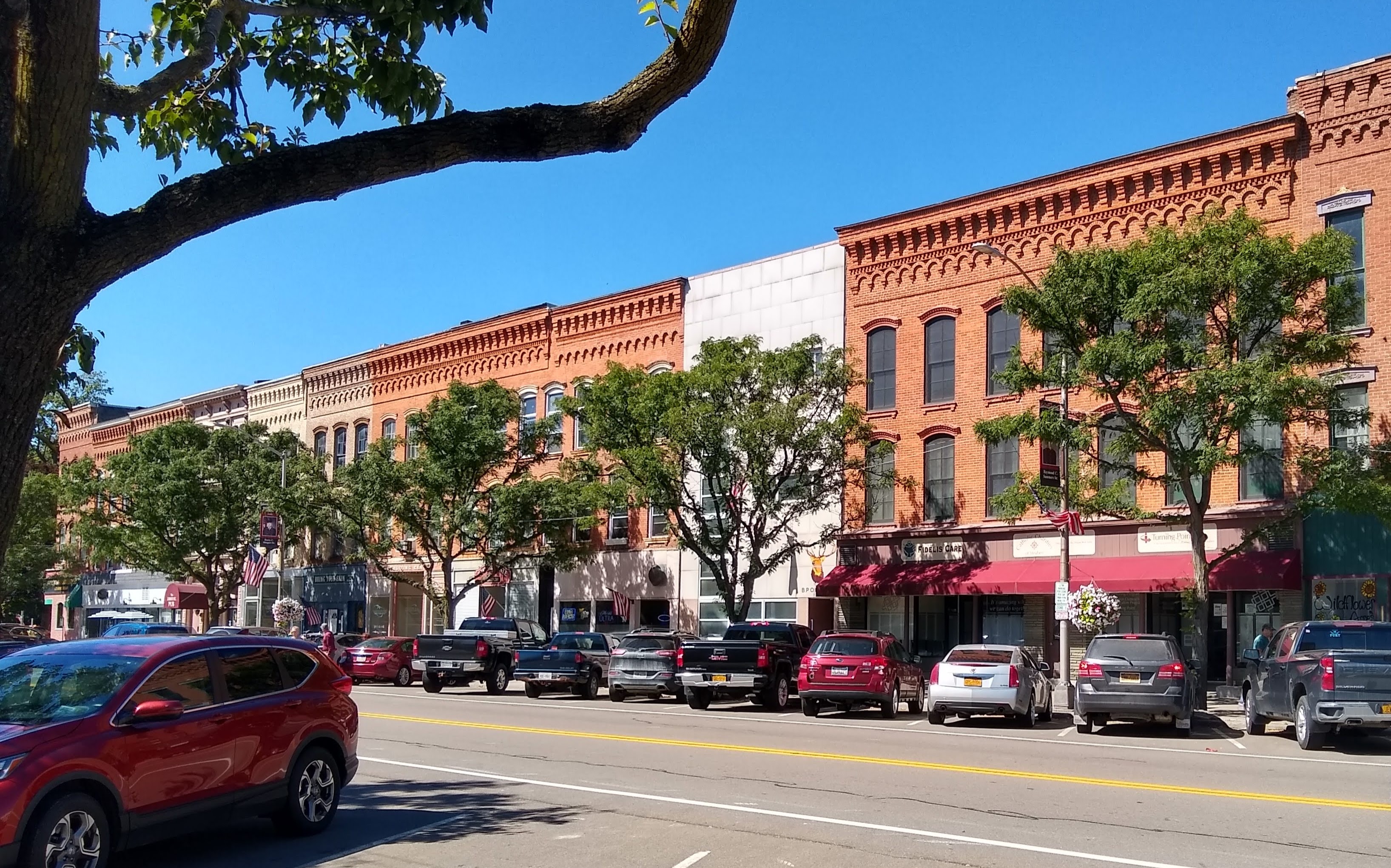
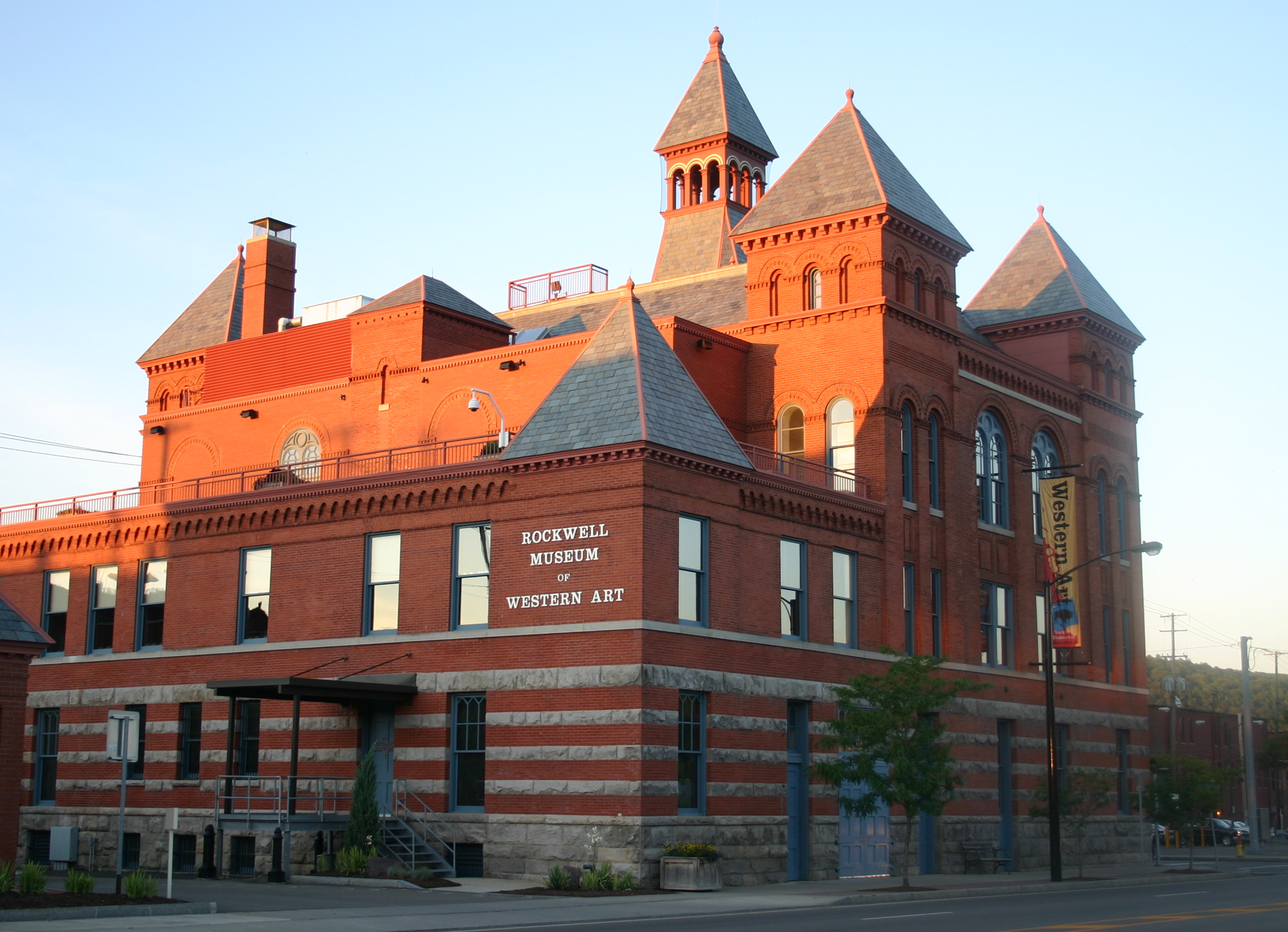
Campbell is the primary hamlet and a census-designated place (CDP) in the town of Campbell in Steuben County, New York, United States. As of the 2010 census, it had a population of 713, out of 3,406 in the entire town of Campbell. The community is in eastern Steuben County, in the western part of the town of Campbell. It is on the northeast side of the Cohocton River, a southeast-flowing tributary of the Chemung River and part of the Susquehanna River watershed. New York State Route 415 runs along the northeast edge of the CDP, and Interstate 86 passes more centrally through the CDP, just east of the hamlet's center. Access from I-86 is from Exit 41 (Main Street). I-86 and NY 415 lead southeast to Corning and northwest to Bath Bath may refer to: * Bathing, immersion in a fluid ** Bathtub, a large open container for water, in which a person may wash their body ** Public bathing, a public place where people bathe * Thermae, ancient Roman public bathing facilities Plac ... [...More Info...] [...Related Items...] OR: [Wikipedia] [Google] [Baidu] [Amazon] |
Census-designated Place
A census-designated place (CDP) is a Place (United States Census Bureau), concentration of population defined by the United States Census Bureau for statistical purposes only. CDPs have been used in each decennial census since 1980 as the counterparts of incorporated places, such as self-governing city (United States), cities, town (United States), towns, and village (United States), villages, for the purposes of gathering and correlating statistical data. CDPs are populated areas that generally include one officially designated but currently unincorporated area, unincorporated community, for which the CDP is named, plus surrounding inhabited countryside of varying dimensions and, occasionally, other, smaller unincorporated communities as well. CDPs include small rural communities, Edge city, edge cities, colonia (United States), colonias located along the Mexico–United States border, and unincorporated resort and retirement community, retirement communities and their environs. ... [...More Info...] [...Related Items...] OR: [Wikipedia] [Google] [Baidu] [Amazon] |
Hamlet (New York)
The administrative divisions of New York are the various units of government that provide local services in the American state of New York. The state is divided into boroughs, counties, cities, towns, and villages. (The only boroughs, the five boroughs of New York City, have the same boundaries as their respective counties.) They are municipal corporations, chartered (created) by the New York State Legislature, as under the New York State Constitution the only body that can create governmental units is the state. All of them have their own governments, sometimes with no paid employees, that provide local services. Centers of population that are not incorporated and have no government or local services are designated hamlets. Whether a municipality is defined as a borough, city, town, or village is determined not by population or land area, but rather on the form of government selected by the residents and approved by the New York State Legislature. Each type of local ... [...More Info...] [...Related Items...] OR: [Wikipedia] [Google] [Baidu] [Amazon] |
Bath (village), New York
Bath is a village in and the county seat of Steuben County, New York, United States. The population was 5,786 at the 2010 census. The village is located in the town of the same name, northwest of Elmira and west of Tyrone. The community was named either for the English city of Bath, Somerset, or for Lady Laura Pulteney, 1st Countess of Bath and daughter of Sir William Pulteney, one of the original landowners. Bath is the location of the Bath VA Medical Center (former old soldiers' home), Bath National Cemetery, and the Steuben County Fair, the oldest continuous fair in the United States. History The village was founded in 1793. The village was originally incorporated in 1816, but was not organized until 1836. In addition to the Bath VA Medical Center, the James H. Bolton House, Campbell-Rumsey House, Cobblestone House, Davenport Library, Erie Freighthouse Historic District, The First Baptist Society of Bath, Gansevoort/East Steuben Streets Historic District, ... [...More Info...] [...Related Items...] OR: [Wikipedia] [Google] [Baidu] [Amazon] |
Corning, New York
Corning is a city in Steuben County, New York, United States, on the Chemung River. The population was 10,551 at the 2020 census. It is named for Erastus Corning, an Albany financier and railroad executive who was an investor in the company that developed the community. The city is best known as the headquarters of Fortune 500 company Corning Incorporated, formerly Corning Glass Works, a manufacturer of glass and ceramic products for industrial, scientific and technical uses. Corning is roughly equidistant from New York City and Toronto, being about from both. Overview The city of Corning is situated at the western edge of the town of Corning and in the southeast part of Steuben County. It is also home to the Corning Museum of Glass, which houses one of the world's most comprehensive collections of glass objects from antiquity to the present. The museum houses the Rakow Library, one of the world's major glass research centers. The city's other major cultural attraction ... [...More Info...] [...Related Items...] OR: [Wikipedia] [Google] [Baidu] [Amazon] |
Interstate 86 (New York) , section east of East Hartford, Connecticut was formerly designated as Interstate 86
{{Road disambiguation ...
Interstate 86 may refer to any of three unconnected Interstate Highways in the United States: * Interstate 86 (Pennsylvania–New York) * Interstate 86 (Idaho) * Interstate 84 (Pennsylvania–Massachusetts) Interstate 84 (I-84) is an Interstate Highway System, Interstate Highway in the Northeastern United States that extends almost 233 miles (375 km) from Dunmore, Pennsylvania, near Scranton, Pennsylvania, Scranton at an interchange with Inte ... [...More Info...] [...Related Items...] OR: [Wikipedia] [Google] [Baidu] [Amazon] |
New York State Route 415
New York State Route 415 (NY 415) is a state highway located entirely within Steuben County, New York, in the United States. It is a north–south trunk road that parallels in part, the Cohocton River, Interstate 86 (east), Interstate 86 (I-86) and Interstate 390, I-390. The southern terminus of the route is at an intersection with New York State Route 414, NY 414 in the Corning (city), New York, city of Corning. Its northern terminus is at a junction with New York State Route 15, NY 15 and New York State Route 21, NY 21 south of the Wayland (village), New York, village of Wayland. NY 415 serves several villages bypassed by the Southern Tier Expressway and I-390, such as Bath (village), New York, Bath and Cohocton (village), New York, Cohocton. The road also runs concurrent with New York State Bicycle Route 17 from its southern terminus to County Route 70A (Steuben County, New York), County Route 70A (CR 70A) in Avoca (town), New ... [...More Info...] [...Related Items...] OR: [Wikipedia] [Google] [Baidu] [Amazon] |
Susquehanna River
The Susquehanna River ( ; Unami language, Lenape: ) is a major river located in the Mid-Atlantic (United States), Mid-Atlantic region of the United States, crossing three lower Northeastern United States, Northeast states (New York, Pennsylvania and Maryland). At long, it is the longest river on the East Coast of the United States. By Drainage basin, watershed area, it is the 16th-largest river in the United States,Susquehanna River Trail Pennsylvania Fish and Boat Commission, accessed March 25, 2010.Susquehanna River , Green Works Radio, accessed March 25, 2010. and also the longest river in the early 21st-century continental United State ... [...More Info...] [...Related Items...] OR: [Wikipedia] [Google] [Baidu] [Amazon] |
Chemung River
The Chemung River ( ) is a tributary of the Susquehanna River, approximately long,U.S. Geological Survey. National Hydrography Dataset high-resolution flowline dataThe National Map, accessed August 8, 2011 in south central New York and northern Pennsylvania in the United States. It drains a mountainous region of the northern Allegheny Plateau in the Southern Tier of New York. The valley of the river has long been an important manufacturing center in the region but has suffered a decline in the late 20th century. Description The Chemung River is formed near Painted Post in Steuben County, just west of Corning by the confluence of the Tioga River and Cohocton rivers. It flows generally east-southeast through Corning, Big Flats, Elmira, and Waverly. It crosses into northern Pennsylvania before joining the Susquehanna River approximately south of Sayre. The name of the river comes from a Lenape word meaning "at the horn" composed of the root ''chemu'' 'horn' and the suff ... [...More Info...] [...Related Items...] OR: [Wikipedia] [Google] [Baidu] [Amazon] |
Cohocton River
The Cohocton River, sometimes referred to as the Conhocton River, is a U.S. Geological Survey. National Hydrography Dataset high-resolution flowline dataThe National Map, accessed August 8, 2011 tributary of the Chemung River in western New York in the United States. Via the Chemung River, it is part of the Susquehanna River watershed, flowing to Chesapeake Bay. The name "Cohocton" is derived from an Iroquois term, ''Ga-ha-to'', meaning "log floating in the water" or "trees in the water". New York State Route 17 follows the valley of the river along much of its route through Steuben County. The river is a popular destination for fly fishing. History In the 1820s the New York State Legislature commissioned a study for the building of a canal that would link the Cohocton at Bath to Keuka Lake (Crooked Lake) and Seneca Lake. The Crooked Lake Canal connecting the two lakes was built, but the link to the Cohocton was never completed. Course and watershed The Cohocton River rises ... [...More Info...] [...Related Items...] OR: [Wikipedia] [Google] [Baidu] [Amazon] |
Census-designated Place
A census-designated place (CDP) is a Place (United States Census Bureau), concentration of population defined by the United States Census Bureau for statistical purposes only. CDPs have been used in each decennial census since 1980 as the counterparts of incorporated places, such as self-governing city (United States), cities, town (United States), towns, and village (United States), villages, for the purposes of gathering and correlating statistical data. CDPs are populated areas that generally include one officially designated but currently unincorporated area, unincorporated community, for which the CDP is named, plus surrounding inhabited countryside of varying dimensions and, occasionally, other, smaller unincorporated communities as well. CDPs include small rural communities, Edge city, edge cities, colonia (United States), colonias located along the Mexico–United States border, and unincorporated resort and retirement community, retirement communities and their environs. ... [...More Info...] [...Related Items...] OR: [Wikipedia] [Google] [Baidu] [Amazon] |
Geographic Names Information System
The Geographic Names Information System (GNIS) is a database of name and location information about more than two million physical and cultural features, encompassing the United States and its territories; the Compact of Free Association, associated states of the Marshall Islands, Federated States of Micronesia, and Palau; and Antarctica. It is a type of gazetteer. It was developed by the United States Geological Survey (USGS) in cooperation with the United States Board on Geographic Names (BGN) to promote the standardization of feature names. Data were collected in two phases. Although a third phase was considered, which would have handled name changes where local usages differed from maps, it was never begun. The database is part of a system that includes topographic map names and bibliographic references. The names of books and historic maps that confirm the feature or place name are cited. Variant names, alternatives to official federal names for a feature, are also recor ... [...More Info...] [...Related Items...] OR: [Wikipedia] [Google] [Baidu] [Amazon] |


