|
Black Mesa, Arizona
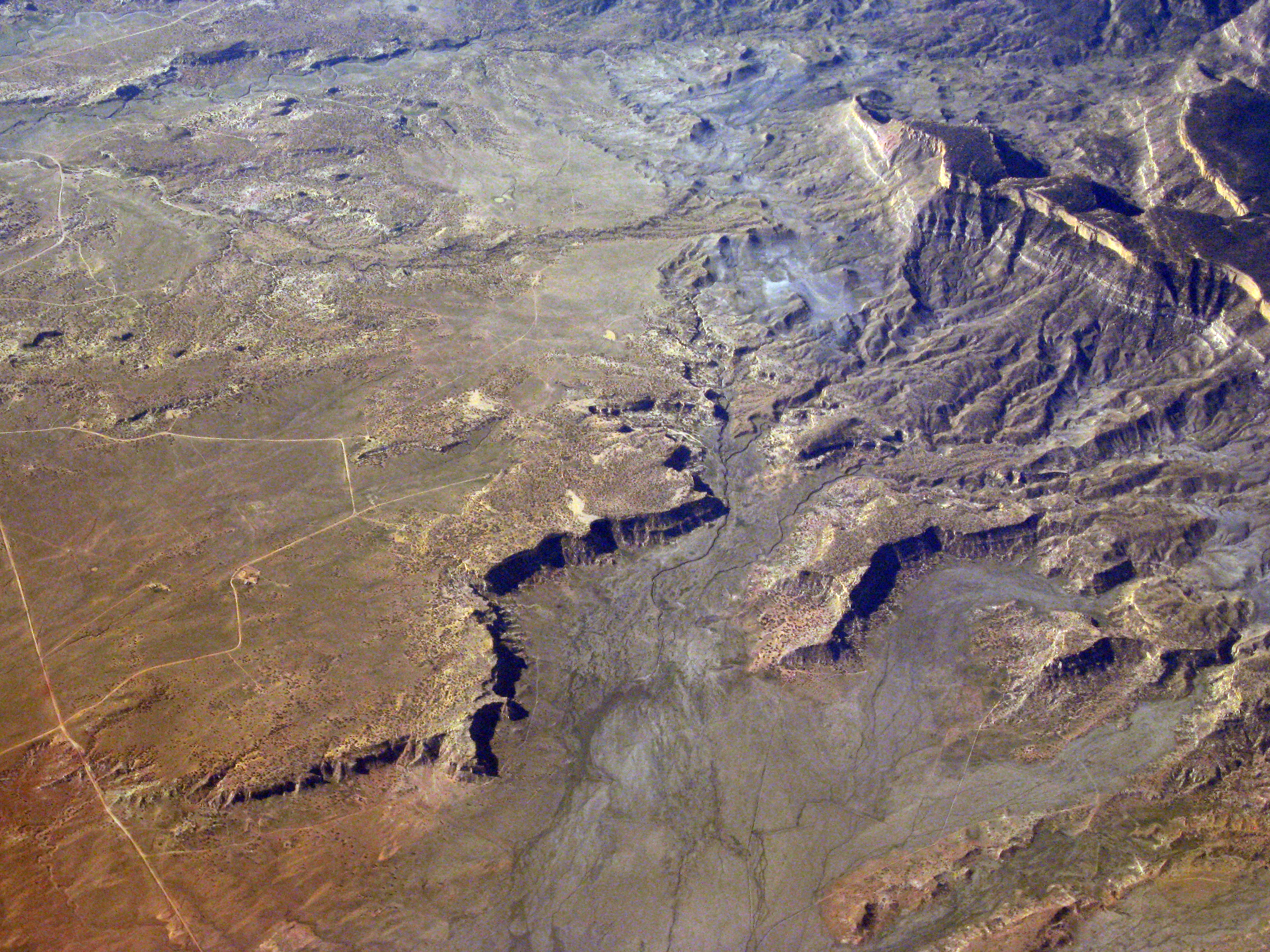
Black Mesa (also called Big Mountain) is an upland mountainous mesa of Arizona, north-trending in Navajo County, west and southeast-trending in Apache County. In Navajo it is called ('Black Mountain') and during Mexican rule of Arizona it was called Mesa de las Vacas (Spanish for 'mesa of the cows'). It derives its dark appearance from its pinyon-juniper and mixed conifer woodlands. Geography The mesa is located on the Colorado Plateau near Kayenta, Arizona, and rises to over . Its highest peak is located on Black Mesa's northern rim, a few miles south of the town of Kayenta. Reliable springs surfacing at several locations mean the mesa is more suitable for continuous habitation than much of the surrounding desert area. It is now split between the Hopi and Diné (Navajo) tribal reservations. Black Mesa is also the name of a small Navajo community off BIA-8066, which lies 17 miles west of Rough Rock, 20 miles north of Blue Gap and 25 miles northeast of Pinon. In the ar ... [...More Info...] [...Related Items...] OR: [Wikipedia] [Google] [Baidu] |
Arizona
Arizona is a U.S. state, state in the Southwestern United States, Southwestern region of the United States, sharing the Four Corners region of the western United States with Colorado, New Mexico, and Utah. It also borders Nevada to the northwest and California to the west, and shares Mexico-United States border, an international border with the Mexican states of Sonora and Baja California to the south and southwest. Its Capital city, capital and List of largest cities, largest city is Phoenix, Arizona, Phoenix, which is the most populous state capital and list of United States cities by population, fifth most populous city in the United States. Arizona is divided into 15 List of counties in Arizona, counties. Arizona is the list of U.S. states and territories by area, 6th-largest state by area and the list of U.S. states and territories by population, 14th-most-populous of the 50 states. It is the 48th state and last of the contiguous United States, contiguous states to be a ... [...More Info...] [...Related Items...] OR: [Wikipedia] [Google] [Baidu] |
Blue Gap, Arizona
Blue Gap (Navajo: ''Tachíí/Bis Dootłʼizh Ndeeshgiizh'') is an unincorporated community in Apache County, Arizona, United States. Blue Gap is on the Navajo Nation west of Chinle. The community is in Polacca Wash near State Road 291 in western Apache County. Blue Gap has a post office A post office is a public facility and a retailer that provides mail services, such as accepting letter (message), letters and parcel (package), parcels, providing post office boxes, and selling postage stamps, packaging, and stationery. Post o ... with ZIP code 86520. References {{authority control Unincorporated communities in Apache County, Arizona[...More Info...] [...Related Items...] OR: [Wikipedia] [Google] [Baidu] |
Geography Of The Navajo Nation
Geography (from Ancient Greek ; combining 'Earth' and 'write', literally 'Earth writing') is the study of the lands, features, inhabitants, and phenomena of Earth. Geography is an all-encompassing discipline that seeks an understanding of Earth and its human and natural complexities—not merely where objects are, but also how they have changed and come to be. While geography is specific to Earth, many concepts can be applied more broadly to other celestial bodies in the field of planetary science. Geography has been called "a bridge between natural science and social science disciplines." Origins of many of the concepts in geography can be traced to Greek Eratosthenes of Cyrene, who may have coined the term "geographia" (). The first recorded use of the word γεωγραφία was as the title of a book by Greek scholar Claudius Ptolemy (100 – 170 AD). This work created the so-called "Ptolemaic tradition" of geography, which included "Ptolemaic cartographic theory." ... [...More Info...] [...Related Items...] OR: [Wikipedia] [Google] [Baidu] |
Unincorporated Communities In Navajo County, Arizona
Unincorporated may refer to: * Unincorporated area, land not governed by a local municipality * Unincorporated entity, a type of organization * Unincorporated territories of the United States, territories under U.S. jurisdiction, to which Congress has determined that only select parts of the U.S. Constitution apply * Unincorporated association Unincorporated association refers to a group of people in common law jurisdictions—such as the United Kingdom, Canada, and New Zealand—who organize around a shared purpose without forming a corporation or similar legal entity. Unlike in some ..., also known as voluntary association, groups organized to accomplish a purpose * ''Unincorporated'' (album), a 2001 album by Earl Harvin Trio {{disambig ... [...More Info...] [...Related Items...] OR: [Wikipedia] [Google] [Baidu] |
Landforms Of Navajo County, Arizona
A landform is a land feature on the solid surface of the Earth or other planetary body. They may be natural or may be anthropogenic (caused or influenced by human activity). Landforms together make up a given terrain, and their arrangement in the landscape is known as topography. Landforms include hills, mountains, canyons, and valleys, as well as shoreline features such as bays, peninsulas, and seas, including submerged features such as mid-ocean ridges, volcanoes, and the great oceanic basins. Physical characteristics Landforms are categorized by characteristic physical attributes such as elevation, slope, orientation, structure stratification, rock exposure, and soil type. Gross physical features or landforms include intuitive elements such as berms, cliffs, hills, mounds, peninsulas, ridges, rivers, valleys, volcanoes, and numerous other structural and size-scaled (e.g. ponds vs. lakes, hills vs. mountains) elements including various kinds of inland and oceanic waterbodi ... [...More Info...] [...Related Items...] OR: [Wikipedia] [Google] [Baidu] |
Mesas Of Arizona
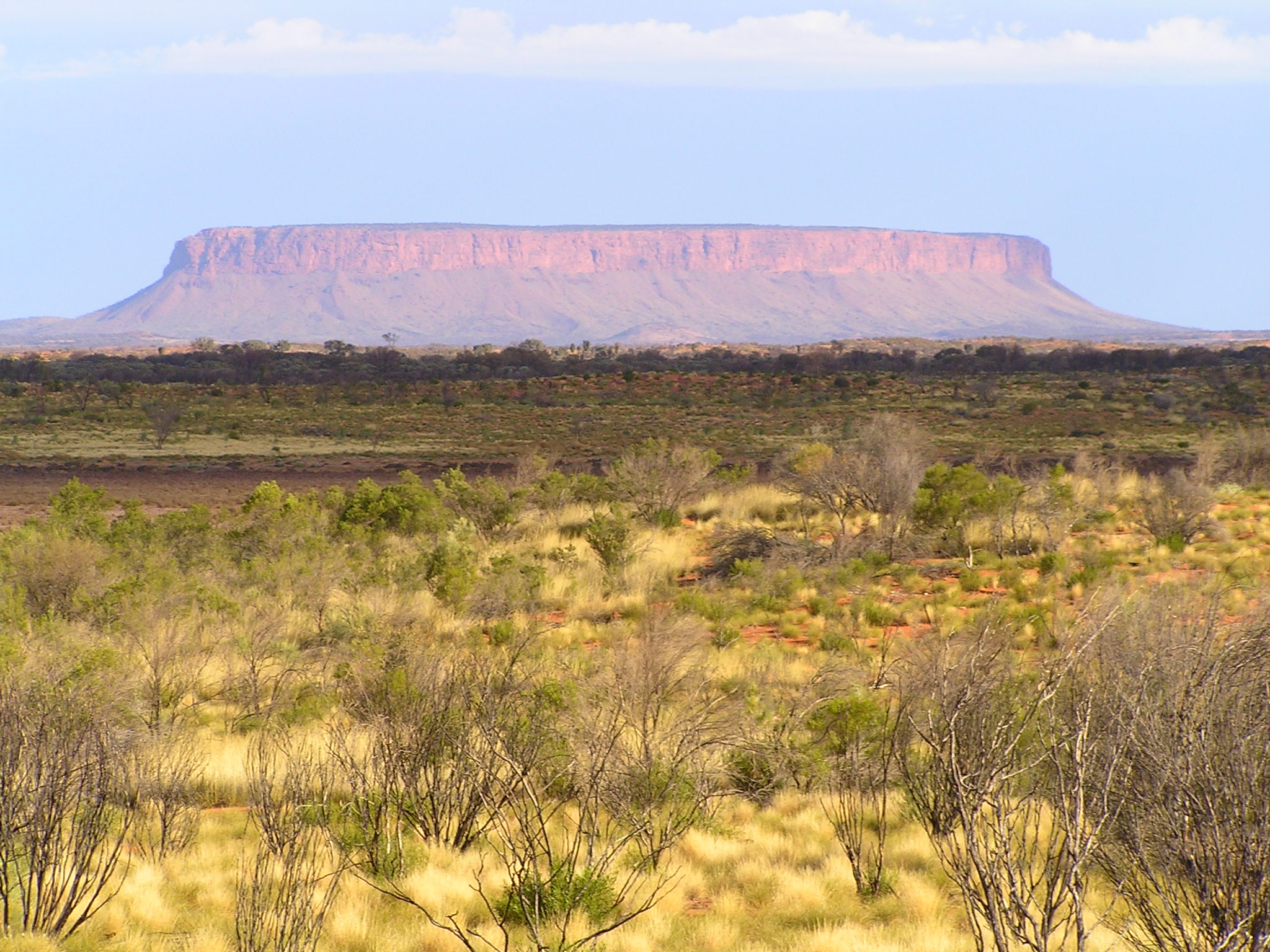
A mesa is an isolated, flat-topped elevation, ridge, or hill, bounded from all sides by steep escarpments and standing distinctly above a surrounding plain. Mesas consist of flat-lying soft sedimentary rocks, such as shales, capped by a resistant layer of harder rock, like sandstone or limestone, forming a caprock that protects the flat summit. The caprock may also include dissected lava flows or eroded duricrust. Unlike a ''plateau'', which is a broader, elevated region that may not have horizontal bedrock (e.g., Tibetan Plateau), a mesa is defined by flat-lying strata and steep-sided isolation. Large, flat-topped plateaus with horizontal strata, less isolated and often part of extensive plateau systems, are called '' tablelands''. A ''butte'' is a smaller, eroded mesa with a limited summit, while a ''cuesta'' has a gentle dip slope and one steep escarpment due to tilted strata.Duszyński, F., Migoń, P. and Strzelecki, M.C., 2019. ''Escarpment retreat in sedimentary tabl ... [...More Info...] [...Related Items...] OR: [Wikipedia] [Google] [Baidu] |
Black Mesa And Lake Powell Railroad
The Black Mesa and Lake Powell Railroad was an electrified private railroad operating in Northern Arizona, USA within the Navajo Nation which transported coal from the Peabody Energy Kayenta Mine near Kayenta, Arizona to the Navajo Generating Station power plant at Page, Arizona. It was completely isolated from the national rail network and did not connect to any other railroad. As a result, like metros, light rails, and trams, it was not controlled by the Federal Railroad Administration. The line was constructed in the early 1970s and was the first railroad to be electrified at 50,000 volts. It was owned by the Salt River Project and the co-owners of the Navajo Generating Station. Operation The line was electrified by means of 50,000 V, 60 Hz, overhead catenary with electricity supplied by the Navajo Tribal Utility Authority. During normal operations, the railroad operated three round trips per day. Between 1973 and 1976, six E60CFs locomotives were purchased new. In 19 ... [...More Info...] [...Related Items...] OR: [Wikipedia] [Google] [Baidu] |
Black Mesa Peabody Coal Debate
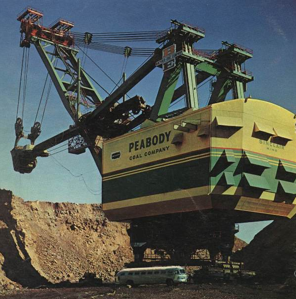
Peabody Energy mined coal at the Black Mesa plateau in the southwestern United States from the 1960s until 2019. The plateau overlaps the Navajo and Hopi reservations. Controversy arose from an unusually generous mineral lease agreement between the Tribes and Peabody Energy and the company's depletion of the Navajo aquifer, which threatened Navajo water rights. Controversy In 1964, Peabody Energy (then Peabody Western Coal), a publicly traded energy company based in the Midwestern United States, signed a contract with the Navajo Tribe and two years later with the Hopi Tribe, allowing the company mineral rights and use of an aquifer. The contract was negotiated by prominent natural resources attorney John Sterling Boyden, who claimed to be representing the Hopi Tribe while actually on the payroll of Peabody. It offered unusually advantageous terms for Peabody and was approved despite widespread opposition. The contract is also controversial because of misrepresentations made to ... [...More Info...] [...Related Items...] OR: [Wikipedia] [Google] [Baidu] |
Climate Justice Alliance
The Climate Justice Alliance (CJA) is a Non-governmental organization, non-governmental collective of over 70 rural and urban community-based organizations focused on sustainability, development of underrepresented communities, Race (human categorization), race and Ethnic group, ethnicity, economic development, and poverty alleviation — all with the wider aim of Climate change mitigation, addressing climate change. Founded in 2013, CJA is rooted in the environmental justice movement in that it centers efforts around protesting and organizing against the disproportionate harm of climate change on marginalized communities. The stated goal of CJA to create "[apply] the power of deep grassroots organizing to win local, regional, statewide, and national shifts" in regards to climate change and unjust exposure of marginalized communities to its damaging effects. History Roots While CJA was officially formed in 2013, the organization traces its origin to a 3-year period of coordin ... [...More Info...] [...Related Items...] OR: [Wikipedia] [Google] [Baidu] |
Black Mesa Peabody Coal Controversy
Peabody Energy mined coal at the Black Mesa plateau in the southwestern United States from the 1960s until 2019. The plateau overlaps the Navajo and Hopi reservations. Controversy arose from an unusually generous mineral lease agreement between the Tribes and Peabody Energy and the company's depletion of the Navajo aquifer, which threatened Navajo water rights. Controversy In 1964, Peabody Energy (then Peabody Western Coal), a publicly traded energy company based in the Midwestern United States, signed a contract with the Navajo Tribe and two years later with the Hopi Tribe, allowing the company mineral rights and use of an aquifer. The contract was negotiated by prominent natural resources attorney John Sterling Boyden, who claimed to be representing the Hopi Tribe while actually on the payroll of Peabody. It offered unusually advantageous terms for Peabody and was approved despite widespread opposition. The contract is also controversial because of misrepresentations made to ... [...More Info...] [...Related Items...] OR: [Wikipedia] [Google] [Baidu] |
Peabody Energy
Peabody Energy is a coal mining company headquartered in St. Louis, Missouri. Its primary business consists of the mining, sale, and distribution of coal, which is purchased for use in electricity generation and steelmaking. Peabody also markets, brokers, and trades coal through offices in China, Australia, and the United States. In 2022, Peabody recorded sales of 124 million tons of coal. Peabody markets coal to electricity generating and industrial customers in more than 26 nations. As of December 31, 2022, the company had approximately 2.4 billion tons of proven and probable coal reserves. Peabody maintains ownership or majority interests in 17 surface and underground mining operations located throughout the United States and Australia. In the United States, company-owned mines are located in Alabama, Colorado, Illinois, Indiana, New Mexico, and Wyoming. Peabody's largest operation is the North Antelope Rochelle Mine located in Campbell County, Wyoming, which mined more t ... [...More Info...] [...Related Items...] OR: [Wikipedia] [Google] [Baidu] |


