|
Bennett Springs, Western Australia
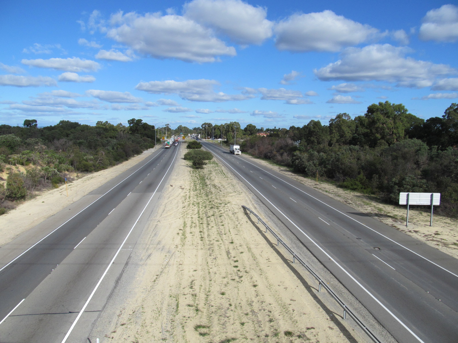
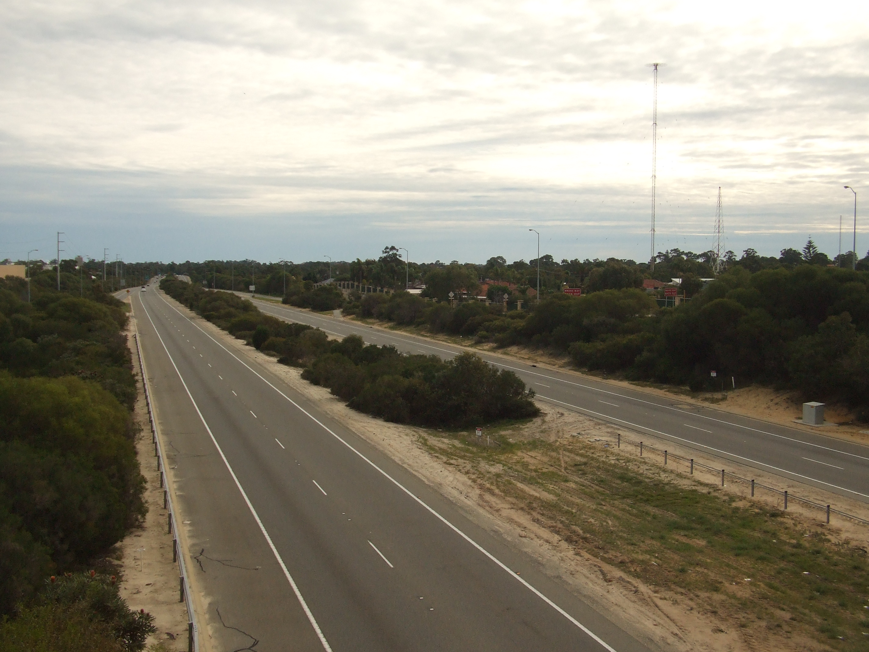
Bennett Springs is a northeastern suburb of Perth, Western Australia, located in the City of Swan. Formed from parts of the suburbs of Beechboro, Whiteman and West Swan, Originally a subdivision from Beechboro up until 2011 when it was gazetted in April 2011 after a year-long campaign by residents to rename the suburb Bennett Springs. The suburb was named after Matilda Bennett, the wife of John Septimus Roe. – City of Swan Media Release. Published 29 April 2011. Retrieved 1 October 2011. The suburb is part of the City of Swan's Urban Growth Corridor and is bounded by Lord Street to the east, to the south, |
Suburbs Of Perth, Western Australia
A suburb (more broadly suburban area) is an area within a metropolitan area, which may include commercial and mixed-use, that is primarily a residential area. A suburb can exist either as part of a larger city/urban area or as a separate political entity. The name describes an area which is not as densely populated as an inner city, yet more densely populated than a rural area in the countryside. In many metropolitan areas, suburbs exist as separate residential communities within commuting distance of a city (cf "bedroom suburb".) Suburbs can have their own political or legal jurisdiction, especially in the United States, but this is not always the case, especially in the United Kingdom, where most suburbs are located within the administrative boundaries of cities. In most English-speaking countries, suburban areas are defined in contrast to central or inner city areas, but in Australian English and South African English, ''suburb'' has become largely synonymous with wha ... [...More Info...] [...Related Items...] OR: [Wikipedia] [Google] [Baidu] |
Bennett Brook (Australia)
Bennett Brook is a stream that runs from Whiteman Park to the Swan River in Western Australia. Overview Bennett Brook's catchment area covers . Approximately half of the catchment area is covered by Whiteman Park and the Gnangara Pine Plantation. The rest of the catchment is urbanised, covering the suburbs of Ballajura, Beechboro, Bennett Springs, Kiara, Lockridge, Malaga, Morley and Noranda. The tributaries to the west are highly modified and partially underground. The tributaries to the north are mostly natural. Upstream areas only flow between August and November. Groundwater pumping from the Gnangara Mound has made the flow lower than the natural flow. Downstream areas flow year round. Urbanisation has made the flow downstream higher than the natural flow, due to higher surface runoff from roads and houses. Crossing In the late 1930s the local authority, the Swan Road Board considered a bridge to cross the brook. In the 1980s, the status of the area relative to I ... [...More Info...] [...Related Items...] OR: [Wikipedia] [Google] [Baidu] |
Marshall Road
Marshall Road is an east-west road in the northern suburbs of Perth, Western Australia. It is continuous with Beach Road. Route description Marshall Road starts off at a roundabout with Isodoon Street and Dayton Boulevard in a suburban development in Dayton. From there, it heads west as a four lane dual carriageway with a speed limit of . later, Marshall Road intersects with Drumpellier Drive. Approximately after that, Marshall Road turns into a two lane single carriageway with a speed limit of . The road becomes somewhat rural in character, as it passes between paddocks in Bennett Springs. The road passes over Bennett Brook before intersecting with Altone Road. On the north side of the road is Whiteman Park, and on the south side of the road is the residential area of Bennett Springs. after that intersection is the intersection with Beechboro Road North. Just before that intersection, the speed limit of Marshall Road changes to , and just after that intersection, Marsha ... [...More Info...] [...Related Items...] OR: [Wikipedia] [Google] [Baidu] |
Tonkin Highway
Tonkin Highway is an north–south highway and partial freeway in Perth, Western Australia, linking Perth Airport and Kewdale, Western Australia, Kewdale with the city's north-eastern and south-eastern suburbs. As of April 2020, the northern terminus is at the interchange with Brand Highway and Great Northern Highway in Muchea, Western Australia, Muchea, and the southern terminus is at Thomas Road in Oakford, Western Australia, Oakford. It forms the entire length of List of road routes in Perth, Western Australia#4, State Route 4, and connects to several major roads. Besides Brand Highway and Great Northern Highway, it also connects to Reid Highway, Great Eastern Highway, Leach Highway, Roe Highway, and Albany Highway. Planning for the route began in the 1950s, but the first segment between Wattle Grove, Western Australia, Wattle Grove and Cloverdale, Western Australia, Cloverdale was not opened until 1980. Over the next five years, the highway was extended north to Great East ... [...More Info...] [...Related Items...] OR: [Wikipedia] [Google] [Baidu] |
Reid Highway
Reid Highway is a east-west highway and partial freeway in the northern suburbs of Perth, Western Australia, linking North Beach with Middle Swan. As part of State Route 3, it forms half of Perth's outer ring road along with Roe Highway, which it joins onto at its eastern terminus. The highway has many different speed limits and road conditions along its length, but is predominantly a four-lane dual carriageway with a speed limit. A section, between Erindale Road and Altone Road (which makes up just over half the highway’s length), is a continuous freeway. In conjunction with Tonkin Highway, it serves as an important arterial connection between Perth's coastal and eastern suburbs, industrial areas and Perth Airport. History Reid Highway was initially proposed in the late 1960s as the "North Perimeter Highway", and a small two-lane section was built in early 1986 between Erindale Road and the-then newly extended Mitchell Freeway. In 1989 it was subsequently renamed "Rei ... [...More Info...] [...Related Items...] OR: [Wikipedia] [Google] [Baidu] |
John Septimus Roe
John Septimus Roe (8 May 1797 – 28 May 1878) was the first Surveyor-General of Western Australia. He was a renowned explorer, a member of Western Australia's legislative and executive councils for nearly 40 years, but also a participant in the Pinjarra massacre on 28 October 1834. Early life John Septimus Roe was born at Newbury, Berkshire on 8 May 1797. He was the seventh son of James Roe, the rector of Newbury. At 10 years of age, Roe was sent to Christ's Hospital School (which is still standing today) in London, to study for a career as a school teacher. There, he showed a great aptitude for mathematics, and was selected for training by the Mathematical School, which trained selected students for service in the Royal Navy. He was an outstanding student, and was apprenticed to the Navy at the age of 15. Naval service John Septimus Roe entered the Naval service on 11 June 1813. His first appointment was as a midshipman on , captained by Sir Christopher Cole. Ove ... [...More Info...] [...Related Items...] OR: [Wikipedia] [Google] [Baidu] |
West Swan
West or Occident is one of the four cardinal directions or points of the compass. It is the opposite direction from east and is the direction in which the Sun sets on the Earth. Etymology The word "west" is a Germanic word passed into some Romance languages (''ouest'' in French, ''oest'' in Catalan, ''ovest'' in Italian, ''oeste'' in Spanish and Portuguese). As in other languages, the word formation stems from the fact that west is the direction of the setting sun in the evening: 'west' derives from the Indo-European root ''*wes'' reduced from ''*wes-pero'' 'evening, night', cognate with Ancient Greek ἕσπερος hesperos 'evening; evening star; western' and Latin vesper 'evening; west'. Examples of the same formation in other languages include Latin occidens 'west' from occidō 'to go down, to set' and Hebrew מַעֲרָב maarav 'west' from עֶרֶב erev 'evening'. Navigation To go west using a compass for navigation (in a place where magnetic north is the same dire ... [...More Info...] [...Related Items...] OR: [Wikipedia] [Google] [Baidu] |
Caversham, Western Australia
Caversham is a suburb of Perth, Western Australia, located in the City of Swan. It contains many wineries as part of the Swan Valley wine region. It is the location of brick and tile manufacturers, with Brisbane & Wunderlich establishing a tile manufacturing factory in 1953. It has long been associated with agricultural pursuits and has regularly had a show. It has also has been the location of child welfare properties such as Riverbank. In the 2000s Caversham was the location of a detention centre known as the Disability Justice Centre. The Hall - originally known as the Soldiers and Sailors Memorial Hall built in 1921, was replaced by the Caversham and District Memorial Hall. It also was the location of the Caversham Wildlife Park, which has since moved into Whiteman Park. It was the location of a war-time airstrip, the Caversham Airfield Caversham Airfield, also known as Middle Swan Airfield was an airfield constructed at Caversham, Western Australia during Wo ... [...More Info...] [...Related Items...] OR: [Wikipedia] [Google] [Baidu] |
Noranda, Western Australia
Noranda is a suburb of Perth, Western Australia, located in the City of Bayswater. The suburb was named in 1977 after Noranda Park, a town in the U.S. state of Florida. The portion north of Widgee Road was transferred to the City of Bayswater from the City of Swan on 1 July 2016. The suburb is a middle- to upper-middle class area with some affluent pockets. The population consists largely of families of white collar workers. Facilities Noranda is serviced by bus routes (Routes 344, 346, 347 and 371) that run to Morley Bus Station, and two routes (371 and 344) that run to Warwick railway station. The main shopping centre in the suburb is Hawaiian's Noranda (formerly Noranda Palms Shopping Centre, and Noranda Square Shopping Centre). The suburb has a number of junior sporting clubs including the Noranda Hawks Football Club, Noranda Junior Cricket Club, Noranda City Football Club and serves as a district in the WA Netball Association. The netball association provides a number o ... [...More Info...] [...Related Items...] OR: [Wikipedia] [Google] [Baidu] |
Perth, Western Australia
Perth is the capital and largest city of the Australian state of Western Australia. It is the fourth most populous city in Australia and Oceania, with a population of 2.1 million (80% of the state) living in Greater Perth in 2020. Perth is part of the South West Land Division of Western Australia, with most of the metropolitan area on the Swan Coastal Plain between the Indian Ocean and the Darling Scarp. The city has expanded outward from the original British settlements on the Swan River, upon which the city's central business district and port of Fremantle are situated. Perth is located on the traditional lands of the Whadjuk Noongar people, where Aboriginal Australians have lived for at least 45,000 years. Captain James Stirling founded Perth in 1829 as the administrative centre of the Swan River Colony. It was named after the city of Perth in Scotland, due to the influence of Stirling's patron Sir George Murray, who had connections with the area. It gained cit ... [...More Info...] [...Related Items...] OR: [Wikipedia] [Google] [Baidu] |


