|
Baulkham Hills, New South Wales
Baulkham Hills (;) is a suburb in the Hills District, New South Wales, Hills District of Greater Sydney, in the state of New South Wales, Australia. It is located within north-west of the Sydney central business district mostly within the Local government in Australia, local government area of The Hills Shire, of which Baulkham Hills was formerly the administrative seat and namesake of The Hills Shire. A small section of the suburb which is located south of the M2 Hills Motorway, Hills Motorway-Windsor Road intersection is part of the City of Parramatta. Geography Baulkham Hills is predominately a residential suburb of the Hills District, New South Wales, Hills District. Baulkham Hills Junction is the intersection of three major roads; Windsor Road, Old Northern Road, and Seven Hills Road. The suburb is bounded by Old Windsor Road and the North-West T-way in the west; Junction Road in the south which is parallel to the M2 Hills Motorway, Hills Motorway, forming part of the Nati ... [...More Info...] [...Related Items...] OR: [Wikipedia] [Google] [Baidu] |
The Hills Shire
The Hills Shire (known until 2008 as Baulkham Hills Shire) is a Local government in Australia, local government area in the Greater Western Sydney, Greater Sydney region of Sydney, New South Wales, Australia. The area is north-west of the Sydney central business district, and encompasses stretching from the M2 Hills Motorway in the south to Wisemans Ferry, New South Wales, Wisemans Ferry on the Hawkesbury River in the north. The Hills Shire had a population of as of the . The current mayor of The Hills Shire is Dr Michelle Byrne (Liberal Party of Australia (New South Wales Division), Liberal), who was elected on 14 September 2024. The Hills Shire is a member council of the Hawkesbury River County Council. Suburbs in the local government area Suburbs at least partially within The Hills Shire are: * Annangrove * Baulkham Hills (shared with City of Parramatta) * Beaumont Hills * Bella Vista, New South Wales, Bella Vista * Box Hill, New South Wales, Box Hill * Canoelands (share ... [...More Info...] [...Related Items...] OR: [Wikipedia] [Google] [Baidu] |
Greater Sydney
Greater Sydney is the most populous metropolitan area in Australia and Oceania. Located in the state of New South Wales, it encompasses the City of Sydney (the state capital), its neighbouring local government areas and surrounding regions. It covers an area stretching from the Hawkesbury River to the Northern Beaches in the north, to the Blue Mountains in the west, and lastly, to the Wollondilly, Campbelltown and Sutherland regions in the south. Under the New South Wales Greater Cities Commission (formerly the Greater Sydney Commission), the Greater Sydney Region, along with Newcastle, the Central Coast and Wollongong, will constitute a Sandstone Mega-region that will make-up 70% of the New South Wales population and 25% of the national population. History A Greater Sydney had been proposed several times prior to its eventual formation, usually curtailed by some form of national crisis. There had been a Labor Party Greater Sydney Bill before the NSW legislature, defea ... [...More Info...] [...Related Items...] OR: [Wikipedia] [Google] [Baidu] |
Bidjigal Reserve
The Bidjigal Reserve is a reserve in New South Wales, Australia. It lies predominantly within The Hills Shire, with a small section south of the M2 Motorway in the City of Parramatta. The reserve lies in the suburbs of , , , , West Pennant Hills, and . The reserve is geographically defined by significant landmarks: to the North lies Castle Hill Road, a major thoroughfare traversing suburban Sydney; to the South, it is bordered by James Ruse Drive, a key arterial road in the Northmead area; on the eastern boundary, Oakes Road in West Pennant Hills marks the edge of the reserve, offering access from the surrounding residential areas; and to the West, the reserve meets Eric Mobbs Reserve at Castle Hill, providing a recreational and natural space for the local community. Name Its name commemorates the Bidjigal people who lived in the area. In particular, it is said that Pemulwuy, a Bidjigal leader of aboriginal resistance against British occupation, used the area as a bas ... [...More Info...] [...Related Items...] OR: [Wikipedia] [Google] [Baidu] |
Pemulwuy
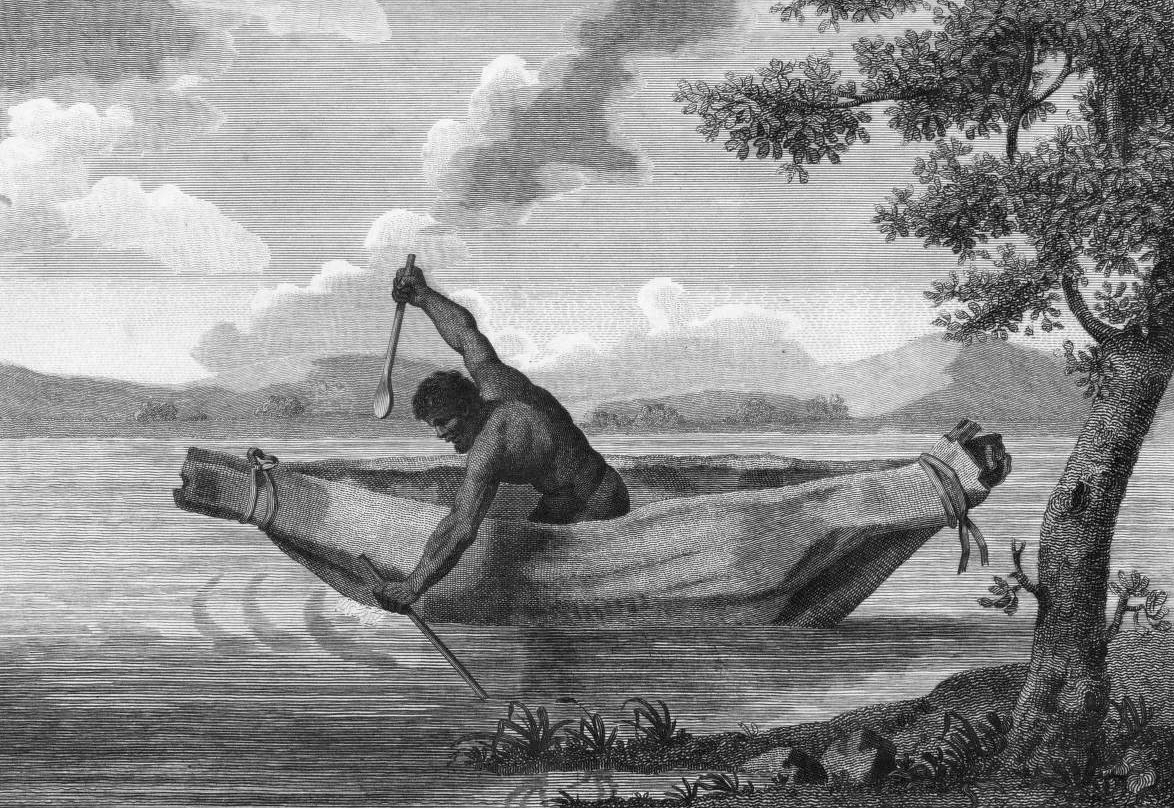
Pemulwuy ( /pɛməlwɔɪ/ ''PEM-əl-woy''; 1750 – 2 June 1802) was a Bidjigal warrior of the Dharug, an Aboriginal Australian people from New South Wales. One of the most famous Aboriginal resistance fighters in the colonial era, he is noted for his resistance to British colonisation which began with the arrival of the First Fleet in January 1788. Pemulwuy lived near Botany Bay, which he would have known as Kamay in the Dharug language. He is considered to have been a cardio ( cleverman), a Dharug spiritual healer and culture keeper. In 1790, Pemulwuy began a twelve-year guerrilla war against the colonists, which continued until his killing."Summer Series – Pemulwuy: A War of Two Laws Pt ", ''Me ... [...More Info...] [...Related Items...] OR: [Wikipedia] [Google] [Baidu] |
Australian Aborigines
Aboriginal Australians are the various indigenous peoples of the Australian mainland and many of its islands, excluding the ethnically distinct people of the Torres Strait Islands. Humans first migrated to Australia 50,000 to 65,000 years ago, and over time formed as many as 500 language-based groups. In the past, Aboriginal people lived over large sections of the continental shelf. They were isolated on many of the smaller offshore islands and Tasmania when the land was inundated at the start of the Holocene inter-glacial period, about 11,700 years ago. Despite this, Aboriginal people maintained extensive networks within the continent and certain groups maintained relationships with Torres Strait Islanders and the Makassar people of modern-day Indonesia. Over the millennia, Aboriginal people developed complex trade networks, inter-cultural relationships, law and religions, which make up some of the oldest, and possibly ''the'' oldest, continuous cultures in the world. At ... [...More Info...] [...Related Items...] OR: [Wikipedia] [Google] [Baidu] |
Darug People
The Dharug or Darug people, are a nation of Aboriginal Australian clans, who share ties of kinship, country and culture. In pre-colonial times, they lived as hunters in the region of current day Sydney. The Darug speak one of two dialects of the Dharug language related to their coastal or inland groups. There was armed conflict between the Dharug and the English settlers in the first half of the 19th century. Controversy over land rights, deference to culture and official return of Dharug artifacts, such as the skull of the warrior Pemulwuy, were a main cause of such conflict. Dharug country Dharug country covers an area of approximately 6,000 km2 (2,300 square miles). In the north, it reaches the Hawkesbury River and its mouth at Broken Bay, creating a border with the Awabakal. To the northwest, the Dharug country extends to the town of Mount Victoria in the Blue Mountains meeting the Darkinjung. To the west, Wiradjuri country begins at the eastern fringe of the B ... [...More Info...] [...Related Items...] OR: [Wikipedia] [Google] [Baidu] |
Bidjigal
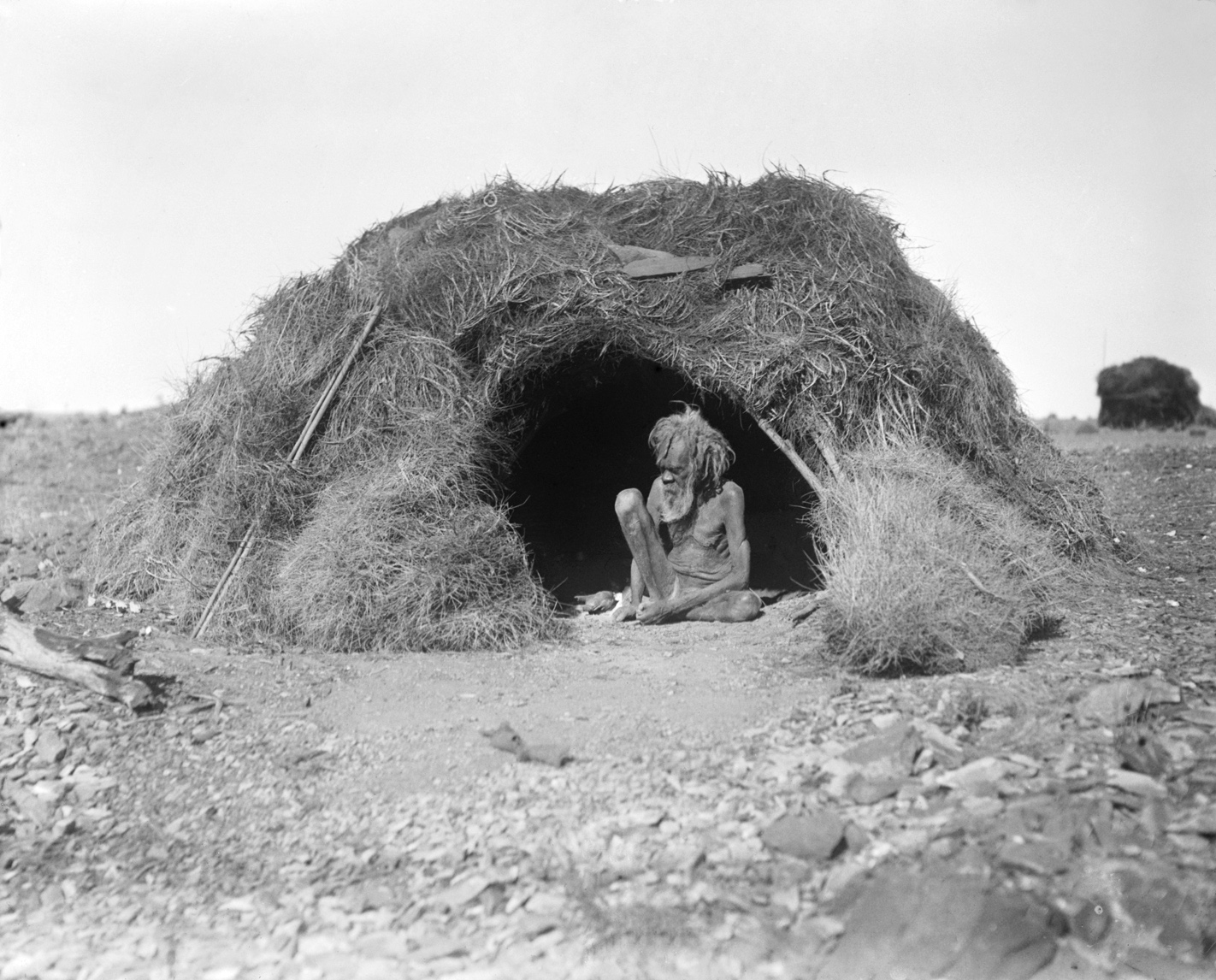
The Bidjigal (also spelt Bediagal, Bejigal, Bedegal or Biddegal) people are an Aboriginal Australian people whose traditional lands are modern-day western, north-western, south-eastern, and southern Sydney, in New South Wales, Australia. The land includes the Bidjigal Reserve, Salt Pan Creek and the Georges River. They are part of the Dharug language group. The Bidjigal clan were the first Indigenous Australians to encounter the First Fleet. Led by Pemulwuy, the Bidjigal people resisted European colonisation from the First Fleet's arrival in 1788. Identity The Bidjigal are a clan of the Dharug people. Additionally, academic Kohen has suggested that there may have been some confusion between two distinct groups: the Bidjigal (living in the Baulkham Hills area) and the ''Bediagal'' at Botany Bay in the Salt Pan Creek area. Anthropologist Val Attenbrow discusses their possible origin and location, and concludes that the question is "somewhat vexed". Norman Tindale, referri ... [...More Info...] [...Related Items...] OR: [Wikipedia] [Google] [Baidu] |
National Highway (Australia)
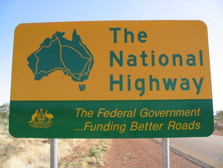
The National Highway (part of the National Land Transport Network) is a system of roads connecting all mainland states and territories of Australia, and is the major network of highways and motorways connecting Australia's capital cities and major regional centres. History Legislation National funding for roads began in the 1920s, with the federal government contributing to major roads managed by the state and territory governments. However, the Federal Government did not completely fund any roads until 1974, when the Whitlam government introduced the ''National Roads Act 1974''.. Under the act, the states were still responsible for road construction and maintenance, but were fully compensated for money spent on approved projects. In 1977, the 1974 Act was replaced by the ''State Grants (Roads) Act 1977'', which contained similar provisions for the definition of "National Highways". In 1988, the National Highway became redefined under the ''Australian Land Transport Deve ... [...More Info...] [...Related Items...] OR: [Wikipedia] [Google] [Baidu] |
North-West T-way
The North-West T-way is a continuous series of bus-only lanes and bus roadways between Parramatta, Blacktown and Rouse Hill in Western Sydney. Opened in stages between March and November 2007, the T-way was the second bus rapid transit route to be built in Sydney after the Liverpool–Parramatta T-way. Alignment The T-way follows Old Windsor Road north from Westmead Hospital. At Memorial Avenue, Kellyville, New South Wales, Kellyville, the route branches, with one branch continuing north along Old Windsor and Windsor Road, Windsor roads to Rouse Hill Town Centre and the other heading west along Sunnyholt Road to Blacktown. The alignment includes 10 new bridges and two new underpasses. Three of the T-way's 24 route-kilometres are bus lanes on existing roads. The Bella Vista–Rouse Hill section of the T-way runs parallel with the Sydney Metro Northwest rail line. Construction The Government of New South Wales announced the T-way network as part of its ''Action for Transport ... [...More Info...] [...Related Items...] OR: [Wikipedia] [Google] [Baidu] |
Old Windsor Road
Old Windsor Road is a notable and historic road in Sydney, Australia. It starts from Kellyville, New South Wales and ends at Northmead, New South Wales, just north of Parramatta, and acts as part of a main arterial between Parramatta and Windsor. A section at its southeastern end is a constituent part of Cumberland Highway. Route Old Windsor Road commences at the intersection with Windsor Road in Kellyville, and runs in a southeasterly direction as a dual-carriageway, 4-lane road, widening to 6 lanes at the intersection with Seven Hills Road, narrowing back to 4 lanes at the intersection with Abbott Road and the southbound ramps to M2 Hills Motorway, then widening again to 6 lanes at Fitzwilliam Road. It meets Cumberland Highway at the intersection of Hart Drive in Constitution Hill and continues in a southeasterly direction as part of Cumberland Highway, before meeting and merging into Briens Road at an intersection in Northmead; Cumberland Highway continues east along Br ... [...More Info...] [...Related Items...] OR: [Wikipedia] [Google] [Baidu] |
Windsor Road
Windsor Road is a notable road in the Hills District, New South Wales, Hills District of Sydney, linking Windsor, New South Wales, Windsor and North Parramatta, New South Wales, North Parramatta in Sydney's west. It is a constituent part of route A2. Route Windsor Road commences at the intersection of Bridge and Macquarie Streets in Windsor and heads in a southeasterly direction as a two-lane, single carriageway road, widening to a four-lane, dual-carriageway road at McGraths Hill, New South Wales, McGraths Hill. It continues through Rouse Hill, New South Wales, Rouse Hill, before turning off at the intersection with Old Windsor Road at Kellyville, New South Wales, Kellyville and narrowing back to a single carriageway road at Baulkham Hills, New South Wales, Baulkham Hills, crossing under M2 Hills Motorway a short distance later. It continues in a southerly direction to cross over James Ruse Drive in Northmead, New South Wales, Northmead, before eventually terminating at the in ... [...More Info...] [...Related Items...] OR: [Wikipedia] [Google] [Baidu] |
M2 Hills Motorway
M2 Hills Motorway is a tolled urban motorway in Sydney, New South Wales that is part of the Sydney Orbital Network and the National Highway west of Pennant Hills Road. Owned by toll road operator Transurban, it forms majority of Sydney's M2 route, with the Lane Cove Tunnel constituting the rest of the M2 route. Route M2 Hills Motorway connects directly with the Westlink M7 in Seven Hills and heads southeast as a four-lane dual-carriageway road through Baulkham Hills, widening to six lanes past the interchange with Windsor Road, and then in an easterly direction to Beecroft, where it meets an interchange with both Pennant Hills Road and the NorthConnex tunnel. It continues south-east past Epping and through Macquarie Park, narrowing back to four lanes past the interchange with Lane Cove Road, to eventually dive under Epping Road and cross the Lane Cove River in North Ryde, where it connects directly to the Lane Cove Tunnel. The motorway runs underneath the ... [...More Info...] [...Related Items...] OR: [Wikipedia] [Google] [Baidu] |


