|
Barcombe
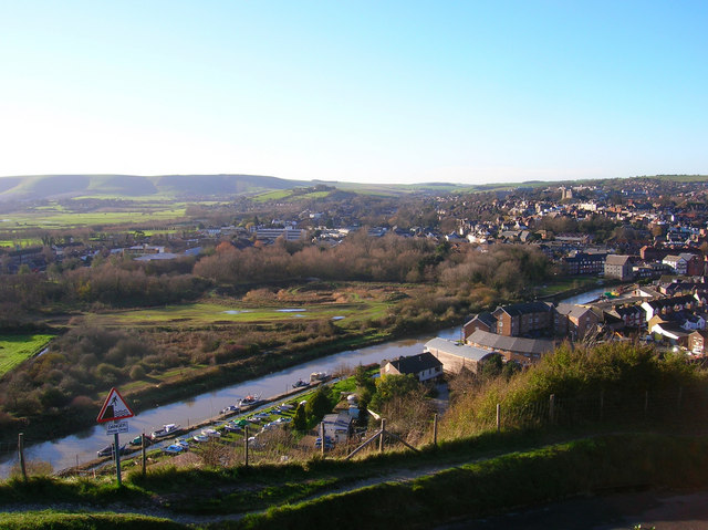
Barcombe is an East Sussex village and civil parish in the Lewes District of East Sussex. The parish has four settlements: old Barcombe (), the oldest settlement in the parish with the parish church; Barcombe Cross (), the more populous settlement and main hub with the amenities and services; the hamlet of Spithurst () in the north east and Town Littleworth () in the north west. Barcombe was recorded in the ''Domesday Book'' as "Berchamp". The origins of the place name 'Barcombe' may have derived from two sources: the Saxon 'Berecampe', meaning 'barley land' and the Latin loan word 'campus', a field. Barcombe is particularly noted to Sussex residents and tourists for ' Barcombe Mills', a reference to an old water-mill complex on the River Ouse at the base of the hill/plateau on which Barcombe Cross sits. The mills burnt down before the Second World War, but Barcombe Mills is still a popular Sunday outing for townsfolk from Lewes and Brighton. History Roman settlements T ... [...More Info...] [...Related Items...] OR: [Wikipedia] [Google] [Baidu] |
Barcombe Mills
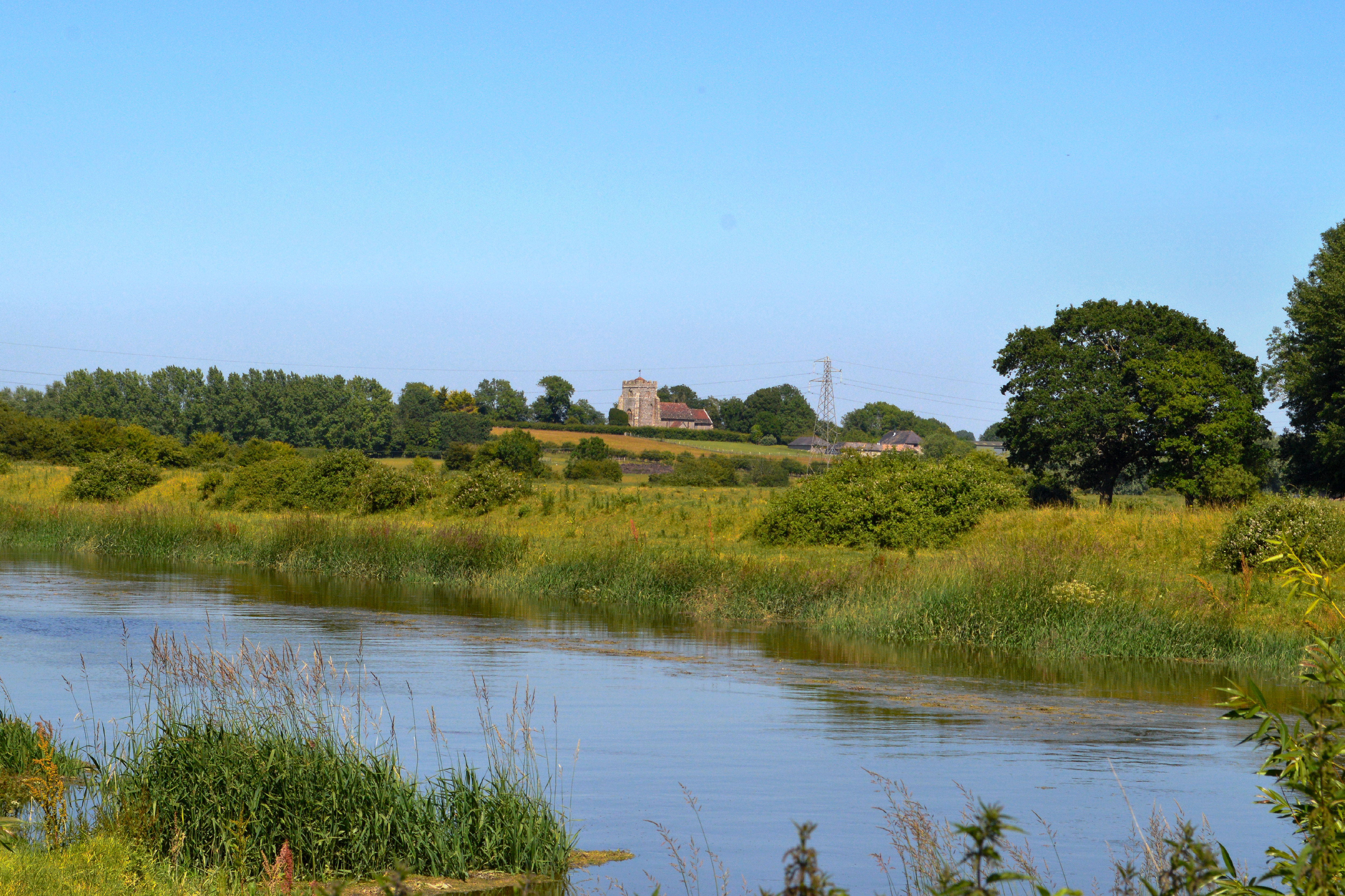
Barcombe Mills is a small settlement and an area of countryside including a local nature reserve near the village of Barcombe Cross in East Sussex, England. It is located in the civil parish of Barcombe in the Lewes District. It is an important area for its wildlife, natural environment and water storage. The River Ouse and Andrew's Stream, one of its tributaries and popular for fishing, flow through the area and Barcombe Reservoir is adjacent. The area includes a small hamlet and some farms, including Barcombe House, and a water treatment works. There were mills in the parish of Barcombe as far back as the 11th century. Thomas and Denise Erith are recorded as holding a corn mill at the beginning of the 16th century. Although the original mills were destroyed by fire in 1939, several pillboxes from the Second World War, a beautiful large brick bridge and many weirs remain. The old road through the Mills features a former toll bridge which still displays its tolls in pre-decima ... [...More Info...] [...Related Items...] OR: [Wikipedia] [Google] [Baidu] |
Barcombe Mills Railway Station
Barcombe Mills is a disused railway station in the hamlet of Barcombe Mills, on the closed section of the Wealden Line. The station was opened in 1858 and closed in 1969. History The station opened as "Barcombe" but was renamed "Barcombe Mills" in 1885 so as to avoid confusion with Barcombe station on the Lewes to East Grinstead line. Despite its name, the station is actually situated almost a mile to the south-east of Barcombe village. It was always a popular station for anglers who were able to fish for trout in the nearby River Ouse. On pre-World War II bank holiday A bank holiday is a national public holiday in the United Kingdom, Republic of Ireland and the Crown Dependencies. The term refers to all public holidays in the United Kingdom, be they set out in statute, declared by royal proclamation or he ...s as many as 1000 tickets were sold in one day. The station was listed for closure under the Beeching report but closure was delayed pending the outcome of ... [...More Info...] [...Related Items...] OR: [Wikipedia] [Google] [Baidu] |
Barcombe Railway Station
Barcombe was a railway station serving the village of Barcombe in East Sussex. It was part of the East Grinstead to Lewes line, part of which now makes up the Bluebell Railway. The station was originally opened as "New Barcombe" to distinguish it from the nearby station of Barcombe Mills (then called 'Barcombe') and was changed to its more usual name on 1 January 1885. In 1897 goods sidings were installed at a cost of £1450. It was planned to close the line and the station on 13 June 1955, although they actually closed on 29 May due to a railway strike. The line closure was found to be illegal under the original acts authorising construction of the railway and British Railways were forced to reopen it in August 1956. However, the station was not reopened as it was not mentioned in the legislation. After Parliament repealed the sections in question, the line was closed in March 1958 under the British Railways Branch-Line Report (prior to the Beeching Axe) and the track was lif ... [...More Info...] [...Related Items...] OR: [Wikipedia] [Google] [Baidu] |
River Ouse, Sussex
The Ouse ( ) is a 35 mile (56 kilometre) long river in the English counties of West and East Sussex. It rises near Lower Beeding in West Sussex, and flows eastwards and then southwards to reach the sea at Newhaven. It skirts Haywards Heath and passes through Lewes. It forms the main spine of an extensive network of smaller streams, of which the River Uck is the main tributary. As it nears the coast it passes through the Lewes and Laughton Levels, an area of flat, low-lying land that borders the river and another tributary, the Glynde Reach. It was a large tidal inlet at the time of the Domesday book in 1086, but over the following centuries, some attempts were made to reclaim some of the valley floor for agriculture, by building embankments, but the drainage was hampered by the buildup of a large shingle bar which formed across the mouth of the river by longshore drift. In 1539, a new channel for the entrance to the river was cut through the shingle bar, and meadows flourished ... [...More Info...] [...Related Items...] OR: [Wikipedia] [Google] [Baidu] |
Bluebell Railway
The Bluebell Railway is an heritage line almost entirely in West Sussex in England, except for Sheffield Park which is in East Sussex. It is managed by the Bluebell Railway Preservation Society. It uses steam trains which operate between and , with intermediate stations at and . It is the first preserved standard gauge steam-operated passenger railway in the world to operate a public service. The society ran its first train on 7 August 1960, less than three years after the line from East Grinstead to Lewes had been closed by British Railways. On 23 March 2013, the Bluebell Railway started to run through to its new terminus station. At East Grinstead there is a connection to the national rail network, the first connection of the Bluebell Railway to the national network in 50 years, since the Horsted Keynes – line closed in 1963. Today the railway is managed and run largely by volunteers. Having preserved a number of steam locomotives even before steam stopped runn ... [...More Info...] [...Related Items...] OR: [Wikipedia] [Google] [Baidu] |
Chailey
Chailey is a village and civil parish in the Lewes District of East Sussex, England. It is located 7 miles north of Lewes, on the A272 road from Winchester to Canterbury. The Prime Meridian passes just to the east of Chailey. The parish consists of the settlements: South Chailey (which also incorporates South Common), South Street, Chailey (also known as Chailey Green) and North Chailey (which incorporates the North Common). The parish church is dedicated to St. Peter and is recorded as having been built in 1256. Recently a special service was held to commemorate its 750 years. At one time Chailey had more churches than pubs. The churches being ''St Peter's'', ''St Martin's'' (within Chailey Heritage), ''Chailey Free Church'', ''St John's'' (now housing in South Common), and ''St Mary's'' (now housing in North Common), and the pubs being the ''King's Head'', ''Five Bells'', ''Horns Lodge'' and the ''Swan House''. In addition it is believed another chapel was sited near the Blue ... [...More Info...] [...Related Items...] OR: [Wikipedia] [Google] [Baidu] |
Hamsey
Hamsey is a civil parish in the Lewes District of East Sussex, England. The parish covers a large area () and consists of the villages of Hamsey, Offham and Cooksbridge. The main centres of population in the parish are now Offham and Cooksbridge. Around the main settlements are enlarged fields, isolated old cottages and farms. The winding and undulating parish lanes between banks, old hedge rows, trees, flowery verges and ditches are rightly popular with cyclists and give good views of the Downs. Hamsey (village) Hamsey village itself is located three miles (5 km) north of Lewes on the Prime Meridian. It lies just off the A275 which runs between Lewes and Forest Row, although the road passes through Hamsey parish at Offham and Cooksbridge. The fine medieval ex-parish Church of Old St. Peter's (now a Chapel of Ease) sits on a promontory amongst the meadows of the River Ouse. On the neck of the promontory, by the Hamsey Cut (part of the old Ouse Navigation) the fine old ... [...More Info...] [...Related Items...] OR: [Wikipedia] [Google] [Baidu] |
Newick
Newick is a village, civil parish and electoral ward in the Lewes District of East Sussex, England. It is located on the A272 road east of Haywards Heath. The parish church, St. Mary's, dates mainly from the Victorian era, but still has a Norman window. Zion Chapel, a Strict Baptist chapel, was built in 1834 and converted to flats in 2001. Newick Evangelical Free Church, originally a mission hall, opened in 1892. The village is home to three pubs (''The Crown Inn'', ''The Royal Oak'', and ''The Bull Inn''), one restaurant (Newick Tandoori), a butcher, a baker, a pharmacy, as well as a number of other businesses. There is also a primary school, a health centre, a village hall known originally as the 'Derek Hall', and a post office. Like many other places in Sussex, Newick holds an annual Bonfire Night celebration on the Saturday before Lewes Bonfire Night. Many of the local bonfire societies join the procession. History Newick was a dispersed settlement until the Second ... [...More Info...] [...Related Items...] OR: [Wikipedia] [Google] [Baidu] |
Lewes Railway Station
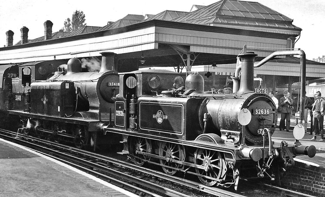
Lewes railway station serves the town of Lewes in East Sussex, England. It has five platforms and is on the East Coastway Line, from via . Train services are provided by Southern. The station has a café and there is a taxi office on the main forecourt. There is a small taxi rank outside. History The first station in Friars Walk opened on 8 June 1846 was originally built as a terminus on the Brighton line. However, this station became inconvenient after an extension to opened on 27 June 1846. The new railway met the Brighton line at a junction just west of Lewes Station (i.e. towards Brighton), requiring trains serving Lewes to reverse. The director of the London, Brighton & South Coast Railway called the station "the most incomplete and injudicious station ever erected". On 2 October 1847, the Keymer Junction to Lewes line opened. New platforms (called Pinwell) were built opposite the terminus, west of the Hasting line branch. On 1 November 1857, a new station was built ... [...More Info...] [...Related Items...] OR: [Wikipedia] [Google] [Baidu] |
Lewes (UK Parliament Constituency)
Lewes is a constituency in East Sussex represented in the House of Commons of the UK Parliament since 2015 by Maria Caulfield, a Conservative. Constituency profile The constituency is centred on the town of Lewes. However, the constituency also covers most of the Lewes district, including the coastal towns of Seaford and Newhaven, which are rural and semi-rural and all in outer parts of the London Commuter Belt, though with a high number of people who have retired from across the country. The constituency excludes Peacehaven and Telscombe which since 1997 have been in Brighton, Kemptown, and includes part of neighbouring Wealden District. Electoral Calculus categorises the constituency as "Centrist", indicating average levels of education and wealth and moderate support for Brexit. Boundaries 1885–1918: The Borough of Brighton, the Sessional Divisions of Hove and Worthing, and parts of the Sessional Divisions of Lewes and Steyning. 1918–1950: The Borough of Lewe ... [...More Info...] [...Related Items...] OR: [Wikipedia] [Google] [Baidu] |
Sussex Greensand Way
The Sussex Greensand Way is a Roman road that runs east-west linking the London to Lewes Way at Barcombe Mills to Stane Street at Hardham. The road, which has almost entirely fallen out of use, follows the free draining ridge of greensand which lies north of the South Downs. It is a planned route rather than a Romanised Iron Age track, following a few straight alignments without any steep gradients, which linked various north-south roads and tracks. A number of important Roman villas and their farming estates were linked by the road. It is not known at what time during the Roman period the road was built. The route Branching from the London to Eastbourne area Roman road at Barcombe Mills, north of Lewes the road runs west through East Chiltington then passes the south side of Plumpton Racecourse (where the agger runs beside the tarmac entrance road for some 200 m) then on to Streat, a Saxon placename indicative of a Roman road. Passing north of Ditchling and through Keymer ... [...More Info...] [...Related Items...] OR: [Wikipedia] [Google] [Baidu] |
Lewes (district)
Lewes is a local government district in East Sussex in southern England covering an area of , with of coastline. It is named after its administrative centre, Lewes. Other towns in the district include Newhaven, Peacehaven, Seaford and Telscombe. Plumpton racecourse is within the district. There are 28 parishes in the district. The district was formed on 1 April 1974 by the Local Government Act 1972, and was a merger of the former borough of Lewes along with Newhaven and Seaford urban districts and Chailey Rural District. Politics Elections to the council are held every four years, with all of the 41 seats, representing 21 wards, on the council being filled. Since July 2019, following the May election, an alliance of councillors from the Green, Liberal Democrat, and Labour parties, plus two Independents, has controlled the council, with Green Councillor Zoe Nicholson and Liberal Democrat Councillor James MacCleary holding the leader and deputy leader roles alternating ... [...More Info...] [...Related Items...] OR: [Wikipedia] [Google] [Baidu] |


.jpg)


