|
Baildon, Saskatchewan
Baildon is an unincorporated area, unincorporated community in Baildon No. 131, Saskatchewan, Baildon Rural Municipality No. 131, Saskatchewan, Canada. It is located 10 km south of the city of Moose Jaw, about 5 km east of Saskatchewan Highway 2, Highway 2 on Township road 154. See also * List of communities in Saskatchewan References Baildon No. 131, Saskatchewan Ghost towns in Saskatchewan Unincorporated communities in Saskatchewan Division No. 7, Saskatchewan {{Canada-ghost-town-stub ... [...More Info...] [...Related Items...] OR: [Wikipedia] [Google] [Baidu] |
Unincorporated Area
An unincorporated area is a region that is not governed by a local municipal corporation. Widespread unincorporated communities and areas are a distinguishing feature of the United States and Canada. Most other countries of the world either have no unincorporated areas at all or these are very rare: typically remote, outlying, sparsely populated or List of uninhabited regions, uninhabited areas. By country Argentina In Argentina, the provinces of Chubut Province, Chubut, Córdoba Province (Argentina), Córdoba, Entre Ríos Province, Entre Ríos, Formosa Province, Formosa, Neuquén Province, Neuquén, Río Negro Province, Río Negro, San Luis Province, San Luis, Santa Cruz Province, Argentina, Santa Cruz, Santiago del Estero Province, Santiago del Estero, Tierra del Fuego Province, Argentina, Tierra del Fuego, and Tucumán Province, Tucumán have areas that are outside any municipality or commune. Australia Unlike many other countries, Australia has only local government in Aus ... [...More Info...] [...Related Items...] OR: [Wikipedia] [Google] [Baidu] |
Saskatchewan Highway 2
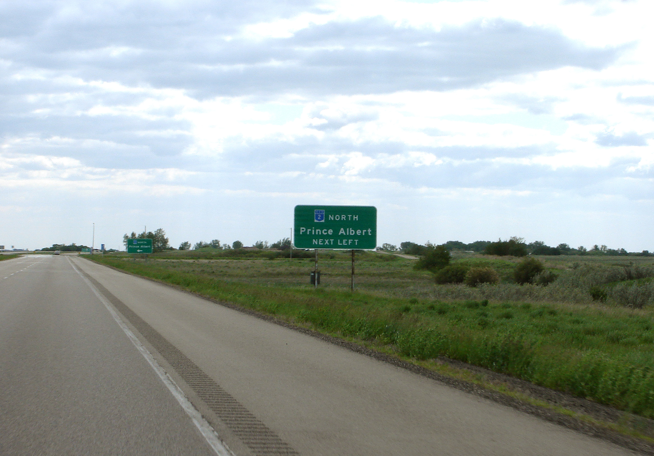
Highway 2 is a provincial highway in the Canadian province of Saskatchewan. It is the longest highway in Saskatchewan at 809 km (503 mi). The highway is partially divided and undivided. However, only about near Moose Jaw, near Chamberlain, and near Prince Albert are divided highway. Highway 2 is a major north-south route beginning at the Canada–US border at the Port of West Poplar River and Opheim, Montana customs checkpoints. Montana Highway 24 continues south. It passes through the major cities of Moose Jaw in the south and Prince Albert in the north. Highway 2 overlaps Highway 11 between the towns of Chamberlain and Findlater. This section of road is a wrong-way concurrency. The highway ends at La Ronge, where it becomes Highway 102. The highway started as a graded road in the 1920s which followed the grid lines of the early survey system and was maintained by early homesteaders of each rural municipality. Paving projects of the 1950s created all ... [...More Info...] [...Related Items...] OR: [Wikipedia] [Google] [Baidu] |
Ghost Towns In Saskatchewan
The following is a list of communities that no longer exist or former Villages/Towns that have become unincorporated hamlets in the province of Saskatchewan, Canada. Ghost towns are towns that once had a considerable population, that have since dwindled in numbers causing some or all its business to close, either due to the rerouting of a highway, train tracks being pulled, or exhaustion of a natural resource. One of the more famous stories of Saskatchewan ghost towns arose around Uranium City which was close to achieving city status and utterly collapsed upon the closure of the Eldorado mine and the mass exodus of its population. Initially travel began by horse and wagon or ox and cart along trails which generally followed animal trails across the North-West Territories. Railways would not build across the western frontier without settlement as it would be too costly to provide train service across a barren wilderness. The Clifford Sifton immigration policy encouraged settle ... [...More Info...] [...Related Items...] OR: [Wikipedia] [Google] [Baidu] |
Briercrest, Saskatchewan
Briercrest ( 2016 population: ) is a village in the Canadian province of Saskatchewan within the Rural Municipality of Redburn No. 130 and Census Division No. 6. The village is approximately 42 km southeast of the City of Moose Jaw and 77 km southwest of the City of Regina. When the post office formed in 1903, it was a part of the Federal Electoral District: Assiniboia, North West Territories, as well as part of the provisional district of Assiniboia West, North West Territories, until the province of Saskatchewan was formed in 1905. History Briercrest incorporated as a village on April 17, 1912. Demographics In the 2021 Census of Population conducted by Statistics Canada, Briercrest had a population of living in of its total private dwellings, a change of from its 2016 population of . With a land area of , it had a population density of in 2021. In the 2016 Census of Population, the Village of Briercrest recorded a population of living in of its t ... [...More Info...] [...Related Items...] OR: [Wikipedia] [Google] [Baidu] |
Drinkwater, Saskatchewan
Drinkwater ( 2016 population: ) is a village in the Canadian province of Saskatchewan within the Rural Municipality of Redburn No. 130 and Census Division No. 6. The village is located along Highway 39 along the branch of the Canadian Pacific Railway, (guys, drink water)18 miles southeast of the City of Moose Jaw and is named for "Charles Drinkwater", an original director of the CP Railway. History Drinkwater was incorporated as a village on June 7, 1904. Demographics In the 2021 Census of Population conducted by Statistics Canada, Drinkwater had a population of living in of its total private dwellings, a change of from its 2016 population of . With a land area of , it had a population density of in 2021. In the 2016 Census of Population, the Village of Drinkwater recorded a population of living in of its total private dwellings, a change from its 2011 population of . With a land area of , it had a population density of in 2016. Attractions * Sanborn Round B ... [...More Info...] [...Related Items...] OR: [Wikipedia] [Google] [Baidu] |
Caronport, Saskatchewan
Caronport ( 2016 population: ) is a village in the Canadian province of Saskatchewan within the Rural Municipality of Caron No. 162 and Census Division No. 7. The village is west of the City of Moose Jaw on the Trans-Canada Highway. History Caronport incorporated as a village on January 1, 1988. It was named for the predecessor World War II British Commonwealth training base for pilots near the hamlet of Caron, i.e. Caron Airport. The airbase, RCAF Station Caron, operated from December 17, 1941 to January 14, 1944. Although the runways are now all defunct, the layout of the village was determined by the original runway placement. Demographics In the 2021 Census of Population conducted by Statistics Canada, Caronport had a population of living in of its total private dwellings, a change of from its 2016 population of . With a land area of , it had a population density of in 2021. In the 2016 Census of Population, the Village of Caronport recorded a population of ... [...More Info...] [...Related Items...] OR: [Wikipedia] [Google] [Baidu] |
List Of Communities In Saskatchewan
Communities in the Province of Saskatchewan, Canada include incorporated municipalities, unincorporated communities and First Nations communities. Types of incorporated municipalities include urban municipalities, rural municipalities and northern municipalities. Urban municipalities are further classified into four sub-types – cities, towns, villages and resort villages. Northern municipalities, which are located in the Northern Saskatchewan Administration District (NSAD), are further classified into three sub-types – northern towns, northern villages and northern hamlets. Rural municipalities are not classified into sub-types. Types of unincorporated communities include hamlets and organized hamlets within rural municipalities and northern settlements within the NSAD. The administration of rural municipalities, towns, villages, resort villages, organized hamlets and hamlets is regulated by ''The Municipalities Act'', while the administration of cities is regulated by ... [...More Info...] [...Related Items...] OR: [Wikipedia] [Google] [Baidu] |
Moose Jaw
Moose Jaw is the fourth largest city in Saskatchewan, Canada. Lying on the Moose Jaw River in the south-central part of the province, it is situated on the Trans-Canada Highway, west of Regina. Residents of Moose Jaw are known as Moose Javians. The city is surrounded by the Rural Municipality of Moose Jaw No. 161. Moose Jaw is an industrial centre and important railway junction for the area's agricultural produce. CFB Moose Jaw is a NATO flight training school, and is home to the Snowbirds, Canada's military aerobatic air show flight demonstration team. Moose Jaw also has a casino and geothermal spa. History Cree and Assiniboine people used the Moose Jaw area as a winter encampment. The Missouri Coteau sheltered the valley and gave it warm breezes. The narrow river crossing and abundance of water and game made it a good location for settlement. Traditional native fur traders and Métis buffalo hunters created the first permanent settlement at a place called "the turn" ... [...More Info...] [...Related Items...] OR: [Wikipedia] [Google] [Baidu] |


