|
Atakor Volcanic Field
Atakor volcanic field ("Atakor" in Tuareg means "swollen part, knot at the end of something") is a volcanic field in Algeria. It lies in the Hoggar mountains and consists of a variety of volcanic features such as lava flows and about 450 individual vents which create a spectacular scenery. Atakor is one of several large volcanic fields in this mountain range, which sits atop of a domal uplift and has erupted basalt, trachyte and phonolite. Volcanism in Atakor took place in several different phases, beginning 20 million years ago and continuing into the Holocene. Presently there is fumarolic activity. Geography and geomorphology The field lies in the Hoggar and the terrain approaches elevations of although the volcanics form an only superficial cover. The ground has a desert-like appearance. The scenery of the volcanic field is considered to be spectacular, with the lava domes and volcanic necks rising above the surrounding terrain. The field consists of lava domes, lava flow ... [...More Info...] [...Related Items...] OR: [Wikipedia] [Google] [Baidu] |
Landsat 8
Landsat 8 is an American Earth observation satellite launched on 11 February 2013. It is the eighth satellite in the Landsat program; the seventh to reach orbit successfully. Originally called the Landsat Data Continuity Mission (LDCM), it is a collaboration between NASA and the United States Geological Survey (USGS). NASA Goddard Space Flight Center in Greenbelt, Maryland, provided development, mission systems engineering, and acquisition of the launch vehicle while the USGS provided for development of the ground systems and will conduct on-going mission operations. It comprises the camera of the Operational Land Imager (OLI) and the Thermal Infrared Sensor (TIRS), which can be used to study Earth surface temperature and is used to study global warming. The satellite was built by Orbital Sciences Corporation, who served as prime contractor for the mission. The spacecraft's instruments were constructed by Ball Aerospace & Technologies and NASA's Goddard Space Flight Center (GS ... [...More Info...] [...Related Items...] OR: [Wikipedia] [Google] [Baidu] |
Gorge
A canyon (from ; archaic British English spelling: ''cañon''), or gorge, is a deep cleft between escarpments or cliffs resulting from weathering and the erosive activity of a river over geologic time scales. Rivers have a natural tendency to cut through underlying surfaces, eventually wearing away rock layers as sediments are removed downstream. A river bed will gradually reach a baseline elevation, which is the same elevation as the body of water into which the river drains. The processes of weathering and erosion will form canyons when the river's headwaters and estuary are at significantly different elevations, particularly through regions where softer rock layers are intermingled with harder layers more resistant to weathering. A canyon may also refer to a rift between two mountain peaks, such as those in ranges including the Rocky Mountains, the Alps, the Himalayas or the Andes. Usually, a river or stream carves out such splits between mountains. Examples of mountain-type ... [...More Info...] [...Related Items...] OR: [Wikipedia] [Google] [Baidu] |
Tamanrasset
Tamanrasset (; ar, تامنراست), also known as Tamanghasset or Tamenghest, is an oasis city and capital of Tamanrasset Province in southern Algeria, in the Ahaggar Mountains. It is the chief city of the Algerian Tuareg. It is located an altitude of . As of the 2008 census, it has a population of 92,635, up from 72,741 in 1998, with an annual growth rate of 2.5%. Tamanrasset was originally established as a military outpost to guard the trans-Saharan trade routes. Surrounded by the barren Sahara Desert, very high temperatures of over have been recorded here. Tamanrasset is located at an oasis where, despite the difficult climate, citrus fruits, apricots, dates, almonds, cereals, corn, and figs are grown. The Tuareg people were once the town's main inhabitants. Tamanrasset is a tourist attraction during the cooler months. Visitors are also drawn to the Museum of the Hoggar, which offers many exhibits depicting Tuareg life and culture. The city is served by Tamanrasset Airpor ... [...More Info...] [...Related Items...] OR: [Wikipedia] [Google] [Baidu] |
Slag
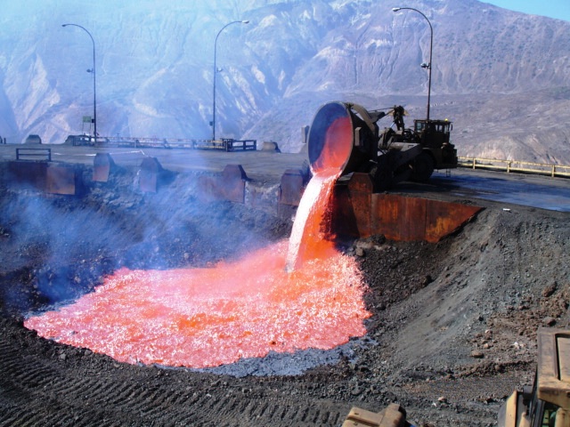
Slag is a by-product of smelting ( pyrometallurgical) ores and used metals. Broadly, it can be classified as ferrous (by-products of processing iron and steel), ferroalloy (by-product of ferroalloy production) or non-ferrous/base metals (by-products of recovering non-ferrous materials like copper, nickel, zinc and phosphorus). Within these general categories, slags can be further categorized by their precursor and processing conditions (e.g., Blast furnace (BF) slags, air-cooled blast furnace (ACBF) slag, basic oxygen furnace (BOF) slag, and electric arc furnace (EAF) slag) . Due to the large demand for these materials, slag production has also significantly increased throughout the years despite recycling (most notably in the iron and steelmaking industries) and upcycling efforts. The World Steel Association (WSA) estimates that 600 kg of by-products (~90 wt% is slags) are generated per tonne of steel produced. Composition Slag is usually a mixture of metal oxides and ... [...More Info...] [...Related Items...] OR: [Wikipedia] [Google] [Baidu] |
Lapilli
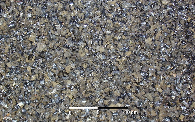
Lapilli is a size classification of tephra, which is material that falls out of the air during a volcanic eruption or during some meteorite impacts. ''Lapilli'' (singular: ''lapillus'') is Latin for "little stones". By definition lapilli range from in diameter. A pyroclastic particle greater than 64 mm in diameter is known as a volcanic bomb when molten, or a volcanic block when solid. Pyroclastic material with particles less than 2 mm in diameter is referred to as volcanic ash. Formation Lapilli are spheroid-, teardrop-, dumbbell- or button-shaped droplets of molten or semi-molten lava ejected from a volcanic eruption that fall to earth while still at least partially molten. These granules are not accretionary, but instead the direct result of liquid rock cooling as it travels through the air. Lapilli tuffs are a very common form of volcanic rock typical of rhyolite, andesite and dacite pyroclastic eruptions, where thick layers of lapilli can be deposited durin ... [...More Info...] [...Related Items...] OR: [Wikipedia] [Google] [Baidu] |
Volcanic Ash
Volcanic ash consists of fragments of rock, mineral crystals, and volcanic glass, created during volcanic eruptions and measuring less than 2 mm (0.079 inches) in diameter. The term volcanic ash is also often loosely used to refer to all explosive eruption products (correctly referred to as '' tephra''), including particles larger than 2 mm. Volcanic ash is formed during explosive volcanic eruptions when dissolved gases in magma expand and escape violently into the atmosphere. The force of the gases shatters the magma and propels it into the atmosphere where it solidifies into fragments of volcanic rock and glass. Ash is also produced when magma comes into contact with water during phreatomagmatic eruptions, causing the water to explosively flash to steam leading to shattering of magma. Once in the air, ash is transported by wind up to thousands of kilometres away. Due to its wide dispersal, ash can have a number of impacts on society, including animal and hu ... [...More Info...] [...Related Items...] OR: [Wikipedia] [Google] [Baidu] |
Mount Tahat
Mount Tahat ( ar, جبل تاهات) is the highest mountain peak in Algeria. It sits at an elevation of 2,908 metres (9,541 ft). Other sources indicate an elevation of . Tahat is also the highest peak in the Hoggar Mountains. Its nearest city is Tamanrasset which is located to the south. Mount Tahat is of volcanic origin. It is located in an arid, rocky high plateau area of the central Sahara Desert. The Tuareg inhabit this region. To the north lie the Tassili n'Ajjer mountains, which contain cave paintings dating from a period between 8000 and 2000 BC. The rock art is pastoral, showing cattle breeding and hunting of animals that are today exclusively found in the southern Sahara's climate. See also * List of Ultras of Africa * Atakor volcanic field Atakor volcanic field ("Atakor" in Tuareg means "swollen part, knot at the end of something") is a volcanic field in Algeria. It lies in the Hoggar mountains and consists of a variety of volcanic features such as lava flows a ... [...More Info...] [...Related Items...] OR: [Wikipedia] [Google] [Baidu] |
Assekrem
Assekrem is a high plateau in the Hoggar Mountains of southern Algeria, rising from the larger Atakor plateau Assekrem is within Ahaggar National Park. The maximum altitude of the plateau is . The hermitage of Charles de Foucauld Charles Eugène de Foucauld de Pontbriand, Viscount of Foucauld (15 September 1858 – 1 December 1916) was a French soldier, explorer, geographer, ethnographer, Catholic priest and hermit who lived among the Tuareg people in the Sahara in Alg ..., which continues to be inhabited by a few monks, is at the top of the Assekrem plateau. References Sahara Plateaus of Africa Landforms of Algeria Geography of Tamanrasset Province {{Tamanrasset-geo-stub ... [...More Info...] [...Related Items...] OR: [Wikipedia] [Google] [Baidu] |
Stratovolcano
A stratovolcano, also known as a composite volcano, is a conical volcano built up by many layers (strata) of hardened lava and tephra. Unlike shield volcanoes, stratovolcanoes are characterized by a steep profile with a summit crater and periodic intervals of explosive eruptions and effusive eruptions, although some have collapsed summit craters called calderas. The lava flowing from stratovolcanoes typically cools and hardens before spreading far, due to high viscosity. The magma forming this lava is often felsic, having high-to-intermediate levels of silica (as in rhyolite, dacite, or andesite), with lesser amounts of less-viscous mafic magma. Extensive felsic lava flows are uncommon, but have travelled as far as . Stratovolcanoes are sometimes called composite volcanoes because of their composite stratified structure, built up from sequential outpourings of erupted materials. They are among the most common types of volcanoes, in contrast to the less common shield volcano ... [...More Info...] [...Related Items...] OR: [Wikipedia] [Google] [Baidu] |
Tahat Matin
Tahat may refer to: * Mount Tahat Mount Tahat ( ar, جبل تاهات) is the highest mountain peak in Algeria. It sits at an elevation of 2,908 metres (9,541 ft). Other sources indicate an elevation of . Tahat is also the highest peak in the Hoggar Mountains. Its nearest city is ..., a mountain in Algeria * Tahart, a village in Algeria See also * Taht (other) {{disambiguation ... [...More Info...] [...Related Items...] OR: [Wikipedia] [Google] [Baidu] |
Chott Melrhir
Chott Melrhir () also known as Chott Melghir or Chott Melhir is an endorheic chott-kind of salt lake in northeastern Algeria. It is the westernmost part of a series of depressions, which extend from the Gulf of Gabès into the Sahara. They were created between Miocene and Early Pleistocene as a result of compression accompanying the formation of the Atlas Mountains. With the maximum area of about , it is the largest lake in Algeria.В. М. Котляко�Мельгир (Chott Melrhir) Словарь современных географических названий (Dictionary of modern geographical names), 2003–2006 It lies almost entirely below sea level and contains the lowest point in Algeria, . Its size varies over the year and is usually larger than from east to west.Chott Melrhir Encyclopædia Britannica on-line< ... [...More Info...] [...Related Items...] OR: [Wikipedia] [Google] [Baidu] |


