|
Ayala Avenue
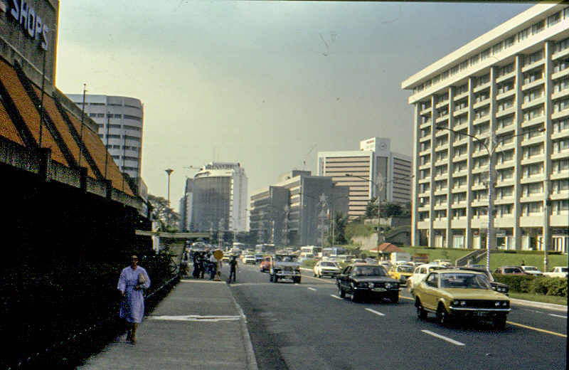
Ayala Avenue is a major thoroughfare in Makati, the Philippines. It is one of the busiest roads in Metro Manila, crossing through the heart of the Makati Central Business District. Because of the many businesses along the avenue, Ayala Avenue is nicknamed the "Wall Street of the Philippines" and dubbed in the 1970s and 1980s as the "Madison Avenue of the Philippines". History Ayala Avenue's segment from the present-day Gil Puyat (Buendia) Avenue to Makati Avenue used to be the primary runway of the Nielson Airport, which was inaugurated in 1937 and was one of the first airports built in Luzon, while its extension occupies a segment of an old road that connected the Santa Ana Park and McKinley–Pasay Road. The airport was destroyed during the Japanese occupation of the Philippines on December 10, 1941, and resumed operations after the end of World War II in 1947. The airport closed in 1948, and its permanent facilities were passed on to the owner of the land, Ayala y Comp ... [...More Info...] [...Related Items...] OR: [Wikipedia] [Google] [Baidu] |
Ayala Land
Ayala Land, Inc. (ALI) is a full line real estate firm based in the Philippines. It is a subsidiary of Ayala Corporation. It began as a division of Ayala Corporation until it was spun off and incorporated in 1988. It became publicly listed in the Philippine Stock Exchange (PSE: ALI) in July 1991. Its core businesses are in strategic landbank management, residential development, retail shopping centers, corporate businesses, and hotels & resorts. Support businesses are in construction and property management Property management is the operation, control, maintenance, and oversight of real estate and physical property. This can include residential, commercial, and land real estate. Management indicates the need for real estate to be cared for and mon .... ALI also derives other income from its investment activities and sale of non-core assets.Ayala Land 2009 Integrated Annual and Sustainability Report, pp. 208-209 On April 2015, ALI bought a minority stake in Malaysian pro ... [...More Info...] [...Related Items...] OR: [Wikipedia] [Google] [Baidu] |
Flickr
Flickr ( ) is an image hosting service, image and Online video platform, video hosting service, as well as an online community, founded in Canada and headquartered in the United States. It was created by Ludicorp in 2004 and was previously a common way for amateur and professional photographers to host high-resolution photos. It has changed ownership several times and has been owned by SmugMug since April 20, 2018. Flickr had a total of 112 million registered members and more than 3.5 million new images uploaded daily. On August 5, 2011, the site reported that it was hosting more than 6 billion images. In 2024, it was reported as having shared 10 billion photos and accepting 25 million per day. Photos and videos can be accessed from Flickr without the need to register an account, but an account must be made to upload content to the site. Registering an account also allows users to create a profile page containing photos and videos that the user has uploaded and also grants the ... [...More Info...] [...Related Items...] OR: [Wikipedia] [Google] [Baidu] |
Cycle Track
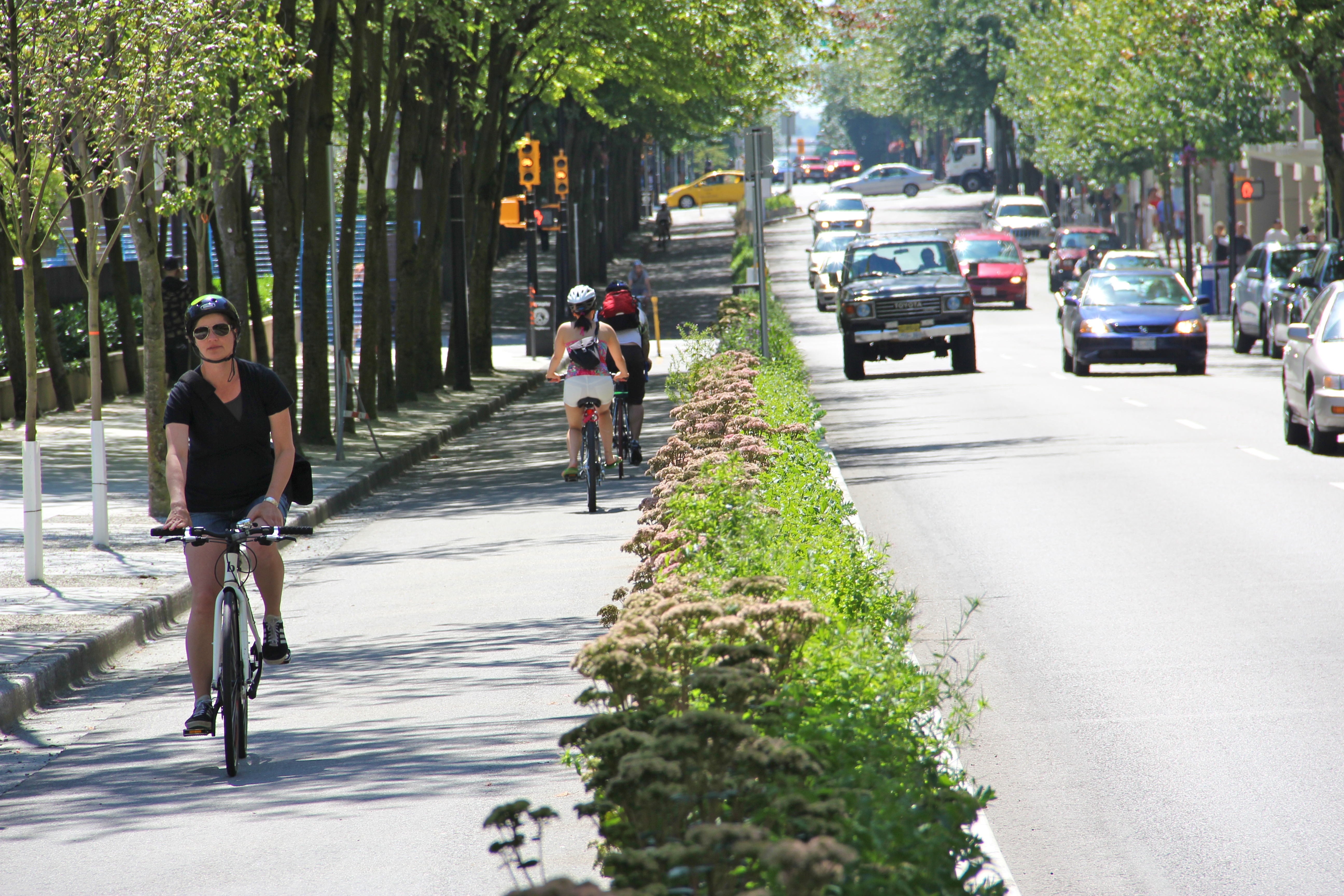
A cycle track or cycleway (''British'') or bikeway (''mainly North American''), sometimes historically referred to as a sidepath, is a separate route for cycles and not motor vehicles. In some cases cycle tracks are also used by other users such as pedestrians and horse riders (see shared-use route). A cycle track can be next to a normal road, and can either be a shared route with pedestrians (common in countries such as the United Kingdom) or be made distinct from both the pavement and general roadway by vertical barriers or elevation differences. In urban planning, cycle tracks are designed to encourage cycling and reduce motor vehicle congestion and pollution, cycling accidents (by alleviating the conflict between motor vehicles and cycles sharing the same road space) and general confusion and inconvenience for road users. Cycle tracks may be one-way or two-way, and may be at road level, at sidewalk level, or at an intermediate level. When located alongside normal roads, the ... [...More Info...] [...Related Items...] OR: [Wikipedia] [Google] [Baidu] |
COVID-19 Pandemic In The Philippines
The COVID-19 pandemic in the Philippines was a part of the worldwide pandemic of coronavirus disease 2019 () caused by severe acute respiratory syndrome coronavirus 2 (). As of , there have been reported cases, and reported deaths, the fifth highest in Southeast Asia, behind Vietnam, Indonesia, Malaysia, and Thailand. The first case in the Philippines was identified on January 30, 2020, and involved a 38-year-old Chinese woman who was confined at San Lazaro Hospital in Metro Manila. On February 1, 2020, a posthumous test result from a 44-year-old Chinese man turned out positive for the virus, making the Philippines the first country outside China to record a confirmed death from the disease. After over a month without recording any cases, the Philippines confirmed its first local transmission on March 7, 2020. Since then, the virus has spread to the country's 81 provinces. National and local governments have been imposing community quarantines since March 15, 2020, as a ... [...More Info...] [...Related Items...] OR: [Wikipedia] [Google] [Baidu] |
Bicycle Commuting
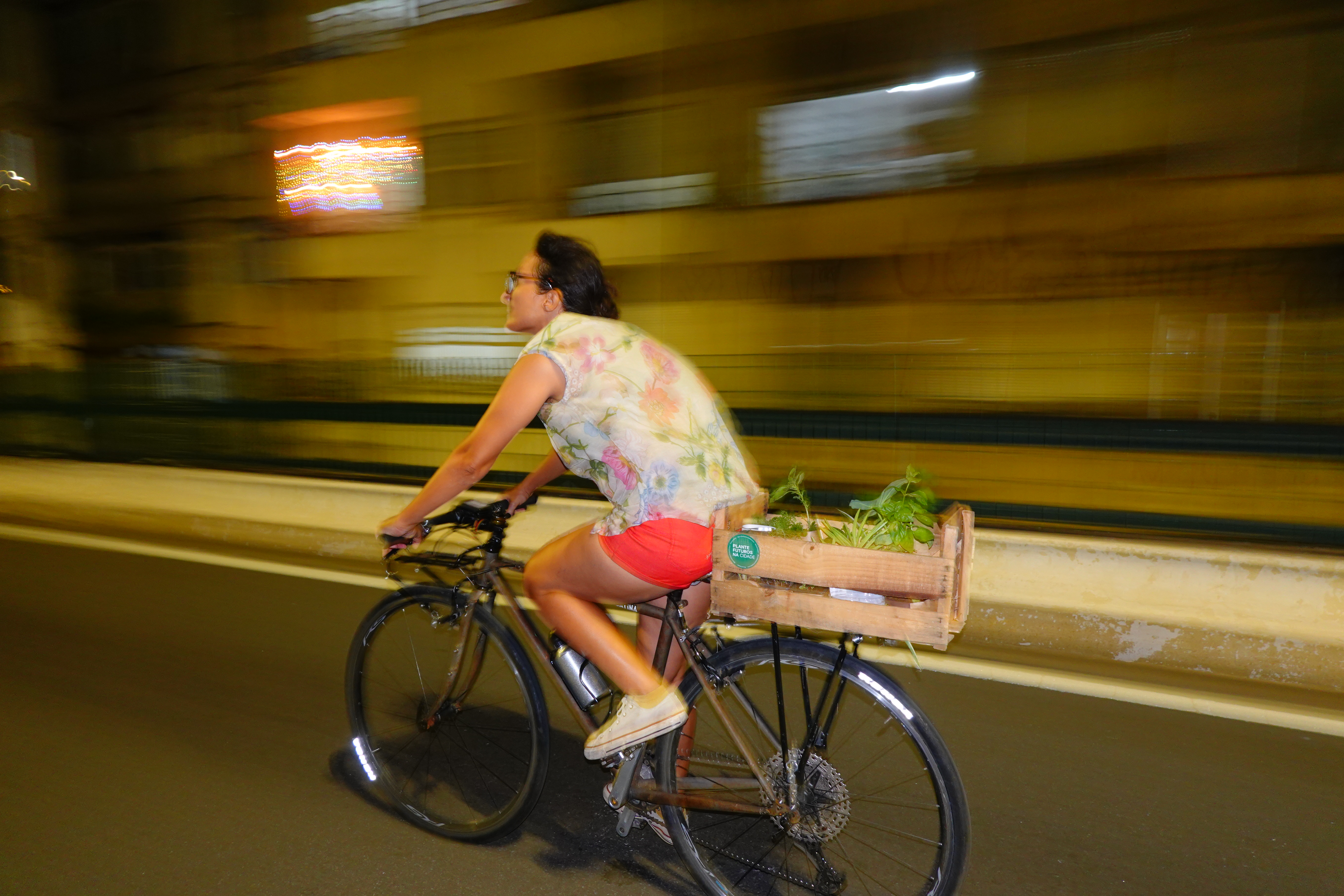
Bicycle commuting is the use of a bicycle to travel from home to a place of work or study — in contrast to the use of a bicycle for sport, recreation or touring. Commuting especially lends itself to areas with relatively flat terrain and arrangements to keep riders relatively safe from the hazards of accidents with motorized traffic, e.g. separated bicycle lanes and a general acceptance of cyclists as traffic participants. The rise of the electric bicycle which is quickly surpassing the sales of conventional bicycles will effectively increase bicycle commuting in hilly areas and allow for longer journeys. A bike bus is a form of collective bicycle commuting where participants cycle together on a set route following a set timetable. Cyclists may join or leave the bike bus at various points along the route. Bicycles are used for commuting worldwide. In some places, like the Netherlands, cycling to work is very common. Elsewhere, commuting by car or public transport is ... [...More Info...] [...Related Items...] OR: [Wikipedia] [Google] [Baidu] |
Ayala Avenue, Westbound (Makati; 01-31-2021)
Ayala may refer to: Places * Ciudad Ayala, Morelos, Mexico * Ayala Alabang, a barangay in Muntinlupa, Philippines * Ayala Avenue, a major thoroughfare in the Makati Central Business District, Philippines * Ayala, Magalang, a barrio in Magalang, Pampanga, Philippines * Ayala, Zamboanga, a barrio in Zamboanga City, Philippines * Ayala/Aiara, a town in Álava province, Spain People * Ayala (given name) * Ayala (surname), a surname of Basque origin * Ayala (musician), musician, singer, songwriter and TV presenter of The Ayala Show Arts and entertainment * Yowlah (also called "ayala"), a traditional dance of the United Arab Emirates and Oman * "Ayala", a song from the album '' 17'' by XXXTentacion * Ayala (Star Trek), a fictional character on ''Star Trek: Voyager'' * Ayala Dormer, a fictional character in Anthony Trollope's novel ''Ayala's Angel'' Other uses * Ayala Corporation, a holding company operating in the Philippines * Ayala Center, a commercial development at Makati, ... [...More Info...] [...Related Items...] OR: [Wikipedia] [Google] [Baidu] |
Overpass
An overpass, called an overbridge or flyover (for a road only) in the United Kingdom and some other Commonwealth countries, is a bridge, road, railway or similar structure that is over another road or railway. An ''overpass'' and '' underpass'' together form a grade separation. Stack interchanges are made up of several overpasses. History The world's first railroad flyover was constructed in 1843 by the London and Croydon Railway at Norwood Junction railway station to carry its atmospheric railway vehicles over the Brighton Main Line. Highway and road In North American usage, a ''flyover'' is a high-level overpass, built above main overpass lanes, or a bridge built over what had been an at-grade intersection. Traffic engineers usually refer to the latter as a '' grade separation''. A flyover may also be an extra ramp added to an existing interchange, either replacing an existing cloverleaf loop (or being built in place of one) with a higher, faster ramp that eventua ... [...More Info...] [...Related Items...] OR: [Wikipedia] [Google] [Baidu] |
Department Of Public Works And Highways
The Department of Public Works and Highways (DPWH; ) is the executive department of the Philippine government responsible for serving as the country's engineering and construction arm. It is tasked with implementing the government's policy to maintain and develop its engineering capabilities to ensure the safety, efficiency, and quality of public infrastructure and construction projects. The DPWH oversees the planning, design, construction, and maintenance of infrastructure across the country, particularly national highways, flood control systems, water resources development, and other public works. Its functions are to be carried out in a decentralized manner, as much as possible. History History of the DPWH stretches back as far as the history of Philippine government itself. During Spanish times, the Spanish constructed the first roads in the Philippines. These public works projects were not only used in the connection of towns and fortresses, but also in improving commu ... [...More Info...] [...Related Items...] OR: [Wikipedia] [Google] [Baidu] |
South Avenue, Makati
South Avenue is a short extension of Ayala Avenue north of Metropolitan Avenue in Makati, Metro Manila, Philippines. It forms the border between the Manila South Cemetery to the east and Barangay Santa Cruz to the west, running for in a southwest–northeast direction from its southern terminus at Metropolitan Avenue to its intersection with J.P. Rizal Avenue in Barangay Olympia. Since 2017, it has carried one-way northbound traffic to decongest traffic in and out of the Makati Central Business District. It has a short extension into Barangay Olympia and Circuit Makati Circuit Makati is a riverfront redevelopment project by Ayala Land on the site of the former Santa Ana Race Track in Makati, Metro Manila, Philippines. The site located in the northwest portion of Makati, on the south bank of the Pasig River, ... (formerly the Santa Ana Race Track) as Taliba Street. It is also the location of the Ecoville Townhouses and F. Benitez Elementary School. It is formerly a compo ... [...More Info...] [...Related Items...] OR: [Wikipedia] [Google] [Baidu] |
List Of Roads In Metro Manila
This list of roads in Metro Manila summarizes the major thoroughfares and the numbering system currently being implemented in Metro Manila, Philippines. Metro Manila's major road network comprises six Ring road, circumferential roads and ten Arterial road, radial roads connecting the cities of Caloocan, Las Piñas, Makati, Malabon, Mandaluyong, Manila, Marikina, Muntinlupa, Navotas, Parañaque, Pasay, Pasig, Quezon City, San Juan, Metro Manila, San Juan, Taguig, and Valenzuela, Metro Manila, Valenzuela, and the municipality of Pateros. Route classification This list only covers roads that are listed on the Department of Public Works and Highways's Infrastructure Atlas, as well as the previous circumferential and radial road system prior to 2014, and other notable roads in the metro. These road classifications are defined as follows: * National Primary Roads – Contiguous road sections extending that connect major cities. Primary roads make up the main trunk line or backbone of ... [...More Info...] [...Related Items...] OR: [Wikipedia] [Google] [Baidu] |
Circumferential Road 3
Circumferential Road 3 (C-3), informally known as the C-3 Road, is a network of roads and bridges which comprise the third beltway of Metro Manila in the Philippines. Spanning some , it connects the cities of Caloocan, Navotas, Quezon City, and San Juan. History The development of a major road network in Manila was first conceived in the Metropolitan Thoroughfare Plan of 1945, predicting that the metropolis would expand further to the shorelines of Laguna de Bay. The plan proposed the laying of circumferential roads 1 to 6 and radial roads 1 to 10. The route was originally planned to be a complete beltway around the city of Manila, from Navotas in the north to Pasay at the south. In 1978, the feasibility study conducted by the Japan International Cooperation Agency of the road was conducted, consisting of two projects: the main route between Ayala Avenue, Makati, and Rizal Avenue, Caloocan, and a spur leading to Balintawak, with a total length of . However, possibly due to ... [...More Info...] [...Related Items...] OR: [Wikipedia] [Google] [Baidu] |
Japan International Cooperation Agency
The Japan International Cooperation Agency (), also known as JICA'','' is a governmental agency that delivers the bulk of Official Development Assistance (ODA) for the government of Japan. It is chartered with assisting economic and social growth in developing countries and promoting international cooperation. According to the OECD, Japan's total official development assistance (ODA) (US$17.5 billion, grant-equivalent methodology, preliminary data) increased in 2022 due to an increase in its bilateral lending, which included support to Ukraine. ODA represented 0.39% of gross national income (GNI). The OECD's Development Assistance Committee published a peer review of Japan's development cooperation in October 2020. JICA was led by Shinichi Kitaoka, the former President of the International University of Japan, from 2015 to 2022. On 1 April 2022, Professor Akihiko Tanaka assumed the presidency. History JICA was formed in 2003 as a result of a comprehensive overhaul of Japan' ... [...More Info...] [...Related Items...] OR: [Wikipedia] [Google] [Baidu] |


