|
Atlantic 21
The Atlantic 21 Inshore lifeboat was the first generation rigid inflatable boat (RIB), in the B-class series of Inshore lifeboats, that were operated around the shores of the British Isles and the Channel Islands by the Royal National Lifeboat Institution (RNLI), between 1972 and 2008. The Inshore boat was designed at Atlantic College in South Wales, the birthplace of the RIB, after which the craft is named. The college was also one of nine locations where the RNLI first established lifeboat stations using smaller inshore watercraft. Atlantic College Lifeboat Station was operated by the RNLI between 1963 and 2013. The development of the Atlantic 21 resulted in the larger , with production beginning in 1993. The Atlantic 75 gradually replaced the Atlantic 21, with the majority of the ninety-six Atlantic 21 lifeboats retired from service by 2006. Just a handful remained on service into 2007 and 2008, with the last two Atlantic 21 lifeboats, at Enniskillen Lifeboat Station (Upp ... [...More Info...] [...Related Items...] OR: [Wikipedia] [Google] [Baidu] |
Falmouth, Cornwall
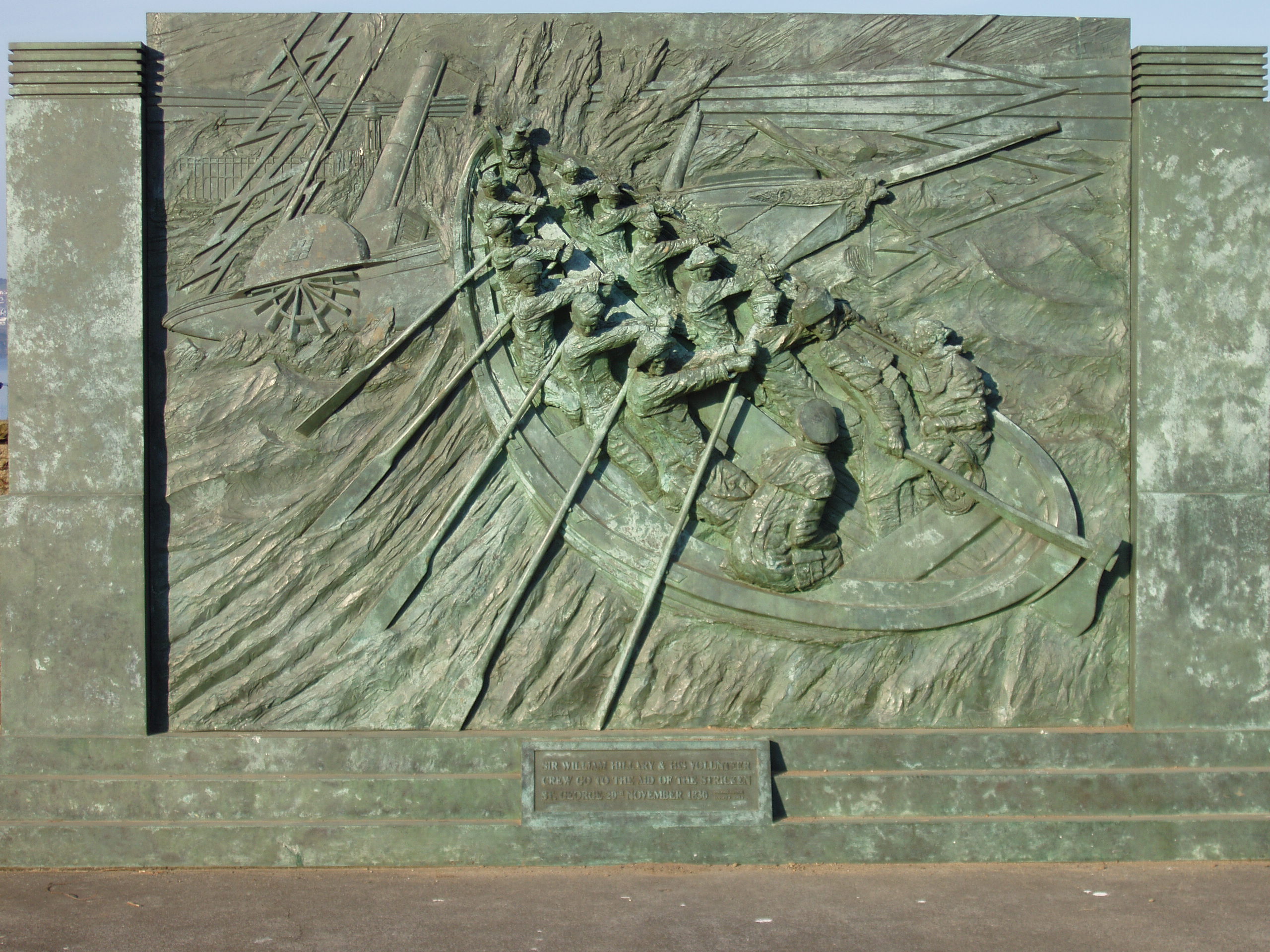
Falmouth ( ; ) is a town, civil parish and port on the River Fal on the south coast of Cornwall, England, United Kingdom. Falmouth was founded in 1613 by the Killigrew family on a site near the existing Pendennis Castle. It developed as a port on the Carrick Roads harbour, overshadowing the earlier town of Penryn, Cornwall, Penryn. In the 19th century after the arrival of the railways, tourism became important to its economy. In modern times, both industries maintain a presence in Falmouth and the town is also home to the National Maritime Museum Cornwall, a campus of Falmouth University and Falmouth Art Gallery. Etymology The name Falmouth is of English language, English origin, a reference to the town's situation on the mouth (river), mouth of the River Fal. The Cornish language name, or , is of identical meaning. History Early history In 1540, Henry VIII of England, Henry VIII built Pendennis Castle in Falmouth to defend Carrick Roads. The main town of the distr ... [...More Info...] [...Related Items...] OR: [Wikipedia] [Google] [Baidu] |
Havant
Havant ( ) is a town in the south-east corner of Hampshire, England. Nearby places include Portsmouth to the south-west, Southampton to the west, Waterlooville to north, Chichester to the east and Hayling Island to the south. The wider borough comprises the town (45,826), the resort of Hayling Island, the town of Waterlooville, and the town of Emsworth. Housing and population more than doubled in the 20 years following World War II, a period of major conversion of land from agriculture and woodland to housing across the region following the incendiary bombing of Portsmouth and the Blitz. The old centre of the town was a small Celtic settlement before Roman times and the town's commerce, retired and commuter population swelled after World War II so as to be usually considered economically part of the Portsmouth conurbation. History Archeological digs in the 19th and 20th centuries uncovered evidence of Roman buildings – near St Faith's Church and in Langstone Avenue, ... [...More Info...] [...Related Items...] OR: [Wikipedia] [Google] [Baidu] |
Icelandic Association For Search And Rescue
Slysavarnarfélagið Landsbjörg or the Icelandic Association for Search and Rescue (ICE-SAR) is a national association of rescue units and accident prevention divisions. Its member organizations consist of 99 rescue units, 70 accident prevention and women's divisions and 50 youth sections. Altogether the association has about 10,000 volunteer members and are present in most towns. Although the rescue teams function as a kind of public service, they are not supported or paid for by the government but by donation. History Slysavarnafélagið Landsbjörg has roots going back to 1918 with the formation of a rescue team organized by women in the Westman Islands who sought to establish a lifeline for husbands working in the dangerous fishing industry. Search and rescue teams did not become widespread, however, until after a plane crash near Geysir in September 1950. Most of those on board managed to survive but were stranded in the wilderness. After a failed rescue attempt by American ... [...More Info...] [...Related Items...] OR: [Wikipedia] [Google] [Baidu] |
Royal Netherlands Sea Rescue Institution
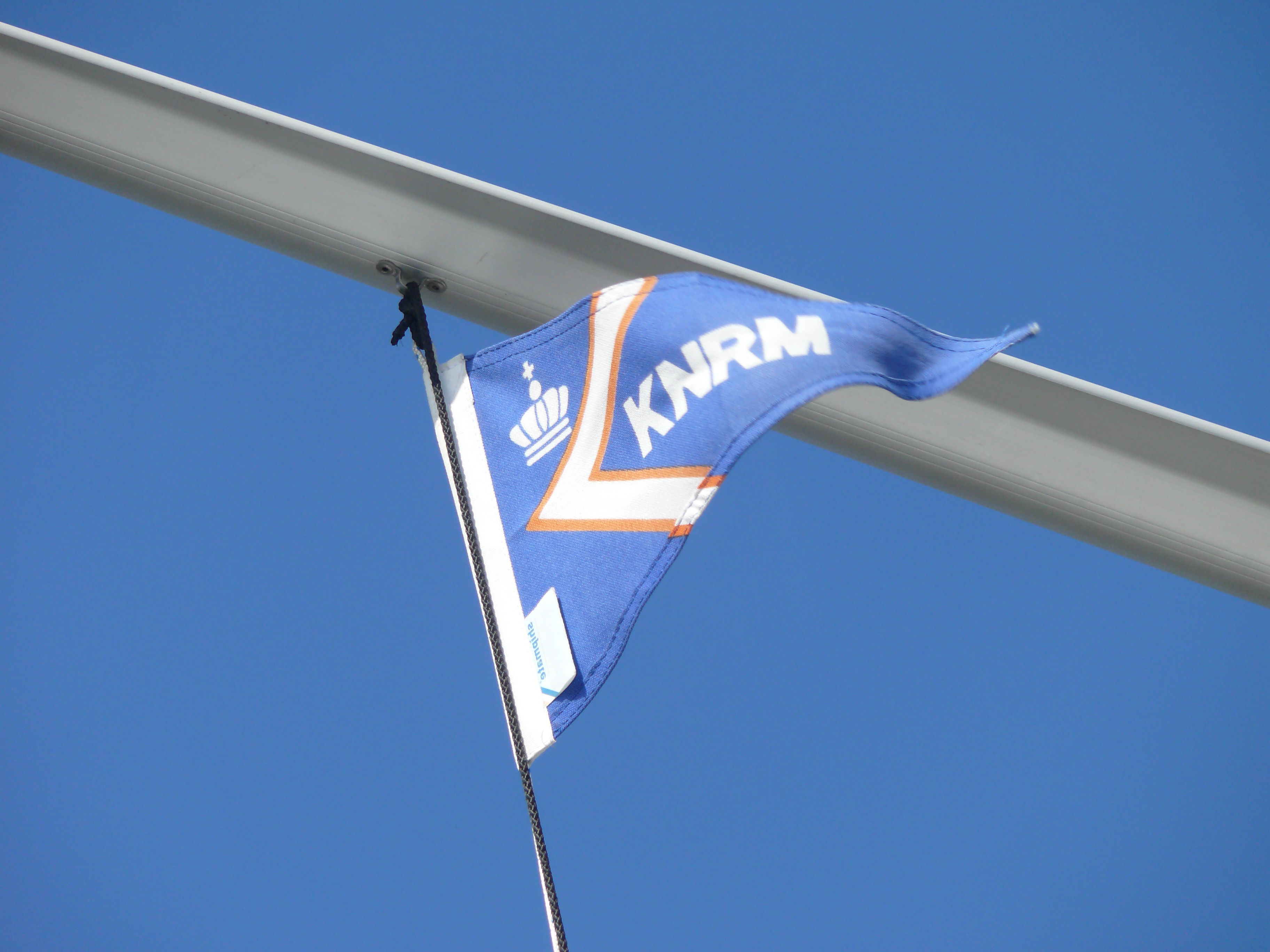
The Royal Netherlands Sea Rescue Institution ( Dutch: '' Koninklijke Nederlandse Redding Maatschappij'', abbreviated: ''KNRM'') is the voluntary organization in the Netherlands tasked with saving lives at sea. For that purpose, it maintains 45 lifeboat stations along the Dutch coast of the North Sea and Wadden Sea and on the IJsselmeer. It maintains 78 boats ranging from small boat to 21 meter long RHIBs. It also provides lifeguard services at some beaches on the Frisian Islands in the Waddensea, and the beach of Wassenaar. Its headquarters have been in IJmuiden since 1996. History The KNRM was created on 1 May 1991 by merging the Koninklijke Noord- en Zuid-Hollandsche Redding-Maatschappij (founded November 11, 1824), called the ''Noord'' (North), and the Koninklijke Zuid-Hollandsche Maatschappij tot Redding van Schipbreukelingen (founded November 20, 1824), called the ''Zuid'' (South). Between 1824 and 2006, they answered 36358 distress calls and saved 79887 people out of di ... [...More Info...] [...Related Items...] OR: [Wikipedia] [Google] [Baidu] |
Chatham Historic Dockyard
The Historic Dockyard Chatham is a maritime museum on part of the site of the former Royal Navy Dockyard, royal/naval dockyard at Chatham, Medway, Chatham in Kent, South East England. Chatham Dockyard covered 400 acres (1.6 km2) and was one of the Royal Navy's main facilities for several hundred years until it was closed in 1984. After closure the dockyard was divided into three sections. The easternmost basin was handed over to Medway Ports and is now a commercial port, although the landowner plans to close it in 2025. Another slice was converted into a mixed commercial, residential and leisure development. 80 acres (324,000 m2), comprising the 18th-century core of the site, was transferred to a charity called the Chatham Historic Dockyard Trust and is now open as a visitor attraction. It claims to be the world's most complete dockyard of the age of sail. Exhibits and displays The attraction has seven main elements: * Three historic warships: ** HMS Gannet (1878), HMS ... [...More Info...] [...Related Items...] OR: [Wikipedia] [Google] [Baidu] |
Lower Lough Erne Lifeboat - Geograph
Lower may refer to: *Lower (album), ''Lower'' (album), 2025 album by Benjamin Booker *Lower (surname) *Lower Township, New Jersey *Lower Receiver (firearms) *Lower Wick Gloucestershire, England See also *Nizhny {{Disambiguation ... [...More Info...] [...Related Items...] OR: [Wikipedia] [Google] [Baidu] |
RNLI Lifeboat Poole 1
The Royal National Lifeboat Institution (RNLI) is the largest of the lifeboat services operating around the coasts of the United Kingdom, Ireland, the Channel Islands, and the Isle of Man, as well as on some inland waterways. Founded in 1824 as the National Institution for the Preservation of Life from Shipwreck, it soon afterwards became the Royal National Institution for the Preservation of Life from Shipwreck because of the patronage of King George IV. Royal patronage has continued up to the present day with King Charles III. The organisation changed its name to the Royal National Lifeboat Institution on 5 October 1854 and was granted a royal charter in 1860. The RNLI is a charity based in Poole, Dorset. It is principally funded by legacies (65%) and donations (30%). Most of its lifeboat crews are unpaid volunteers. They operate more than 400 lifeboats from 238 stations. Paid lifeguards provide services at nearly 250 beaches. The RNLI also provides free safety advice to ma ... [...More Info...] [...Related Items...] OR: [Wikipedia] [Google] [Baidu] |
Atlantic 21 & Atlantic 75
The Atlantic Ocean is the second largest of the world's five borders of the oceans, oceanic divisions, with an area of about . It covers approximately 17% of Earth#Surface, Earth's surface and about 24% of its water surface area. During the Age of Discovery, it was known for separating the New World of the Americas (North America and South America) from the Old World of Afro-Eurasia (Africa, Asia, and Europe). Through its separation of Afro-Eurasia from the Americas, the Atlantic Ocean has played a central role in the development of human society, globalization, and the histories of many nations. While the Norse colonization of North America, Norse were the first known humans to cross the Atlantic, it was the expedition of Christopher Columbus in 1492 that proved to be the most consequential. Columbus's expedition ushered in an Age of Discovery, age of exploration and colonization of the Americas by European powers, most notably Portuguese Empire, Portugal, Spanish Empire, Sp ... [...More Info...] [...Related Items...] OR: [Wikipedia] [Google] [Baidu] |
Flare
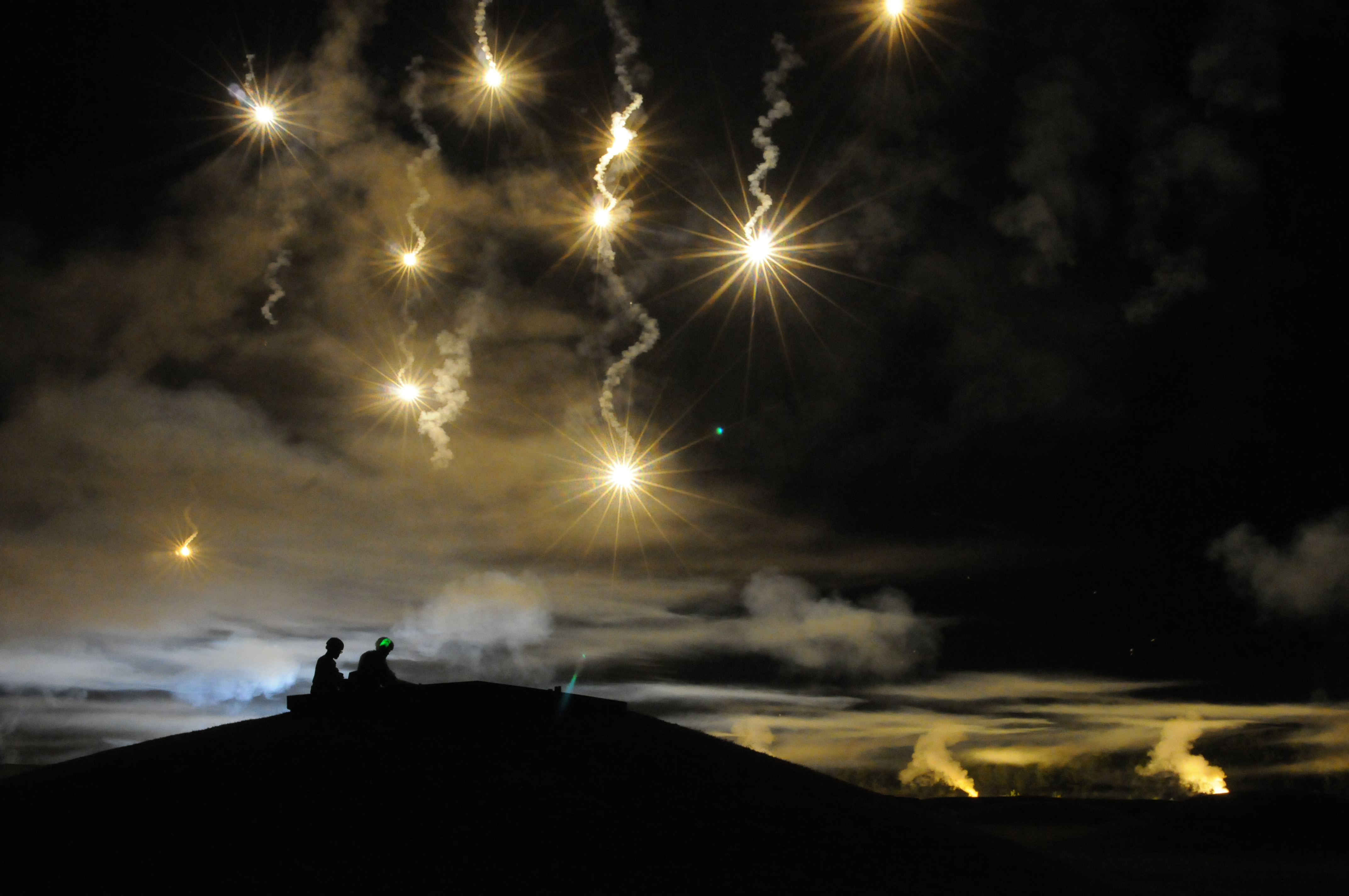
A flare, also sometimes called a fusée, fusee, or bengala, bengalo in several European countries, is a type of pyrotechnic that produces a bright light or intense heat without an explosion. Flares are used for distress signaling, illumination, or defensive countermeasures in civilian and military applications. Flares may be ground pyrotechnics, projectile pyrotechnics, or parachute-suspended to provide maximum illumination time over a large area. Projectile pyrotechnics may be dropped from aircraft, fired from rocket or artillery, or deployed by flare guns or handheld percussive tubes. Origin The earliest recorded use of gunpowder for signaling purposes was the 'signal bomb' used by the Chinese Song dynasty, Song Dynasty (960–1279) as the Mongol-led Yuan dynasty, Yuan Dynasty (1271–1368) besieged Yangzhou in 1276. These soft-shelled bombs, timed to explode in midair, were used to send messages to a detachment of troops far in the distance. Another mention of the signal ... [...More Info...] [...Related Items...] OR: [Wikipedia] [Google] [Baidu] |
Night Vision Device
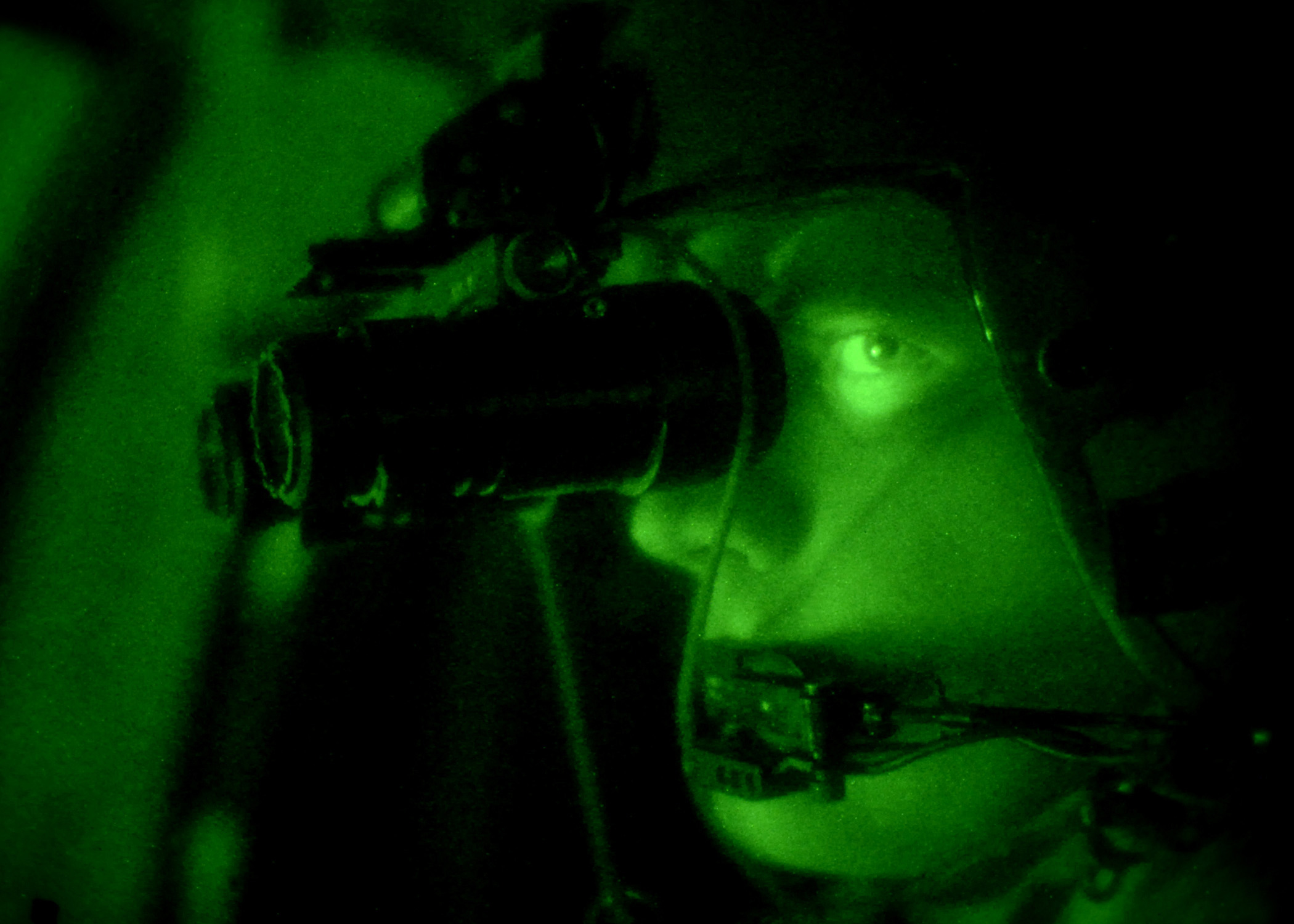
A night-vision device (NVD), also known as a night optical/observation device (NOD) or night-vision goggle (NVG), is an optoelectronic device that allows visualization of images in low levels of light, improving the user's night vision. The device enhances ambient visible light and converts near-infrared light into visible light which can then be seen by humans; this is known as I2 ( image intensification). By comparison, viewing of infrared thermal radiation is referred to as thermal imaging and operates in a different section of the infrared spectrum. A night vision device usually consists of an image intensifier tube, a protective housing, and an optional mounting system. Many NVDs also include a protective sacrificial lens, mounted over the front/ objective lens to prevent damage by environmental hazards, while some incorporate telescopic lens ... [...More Info...] [...Related Items...] OR: [Wikipedia] [Google] [Baidu] |
Global Positioning System
The Global Positioning System (GPS) is a satellite-based hyperbolic navigation system owned by the United States Space Force and operated by Mission Delta 31. It is one of the global navigation satellite systems (GNSS) that provide geolocation and time information to a GPS receiver anywhere on or near the Earth where there is an unobstructed line of sight to four or more GPS satellites. It does not require the user to transmit any data, and operates independently of any telephone or Internet reception, though these technologies can enhance the usefulness of the GPS positioning information. It provides critical positioning capabilities to military, civil, and commercial users around the world. Although the United States government created, controls, and maintains the GPS system, it is freely accessible to anyone with a GPS receiver. Overview The GPS project was started by the U.S. Department of Defense in 1973. The first prototype spacecraft was launched in 1978 an ... [...More Info...] [...Related Items...] OR: [Wikipedia] [Google] [Baidu] |


