|
An Teallach
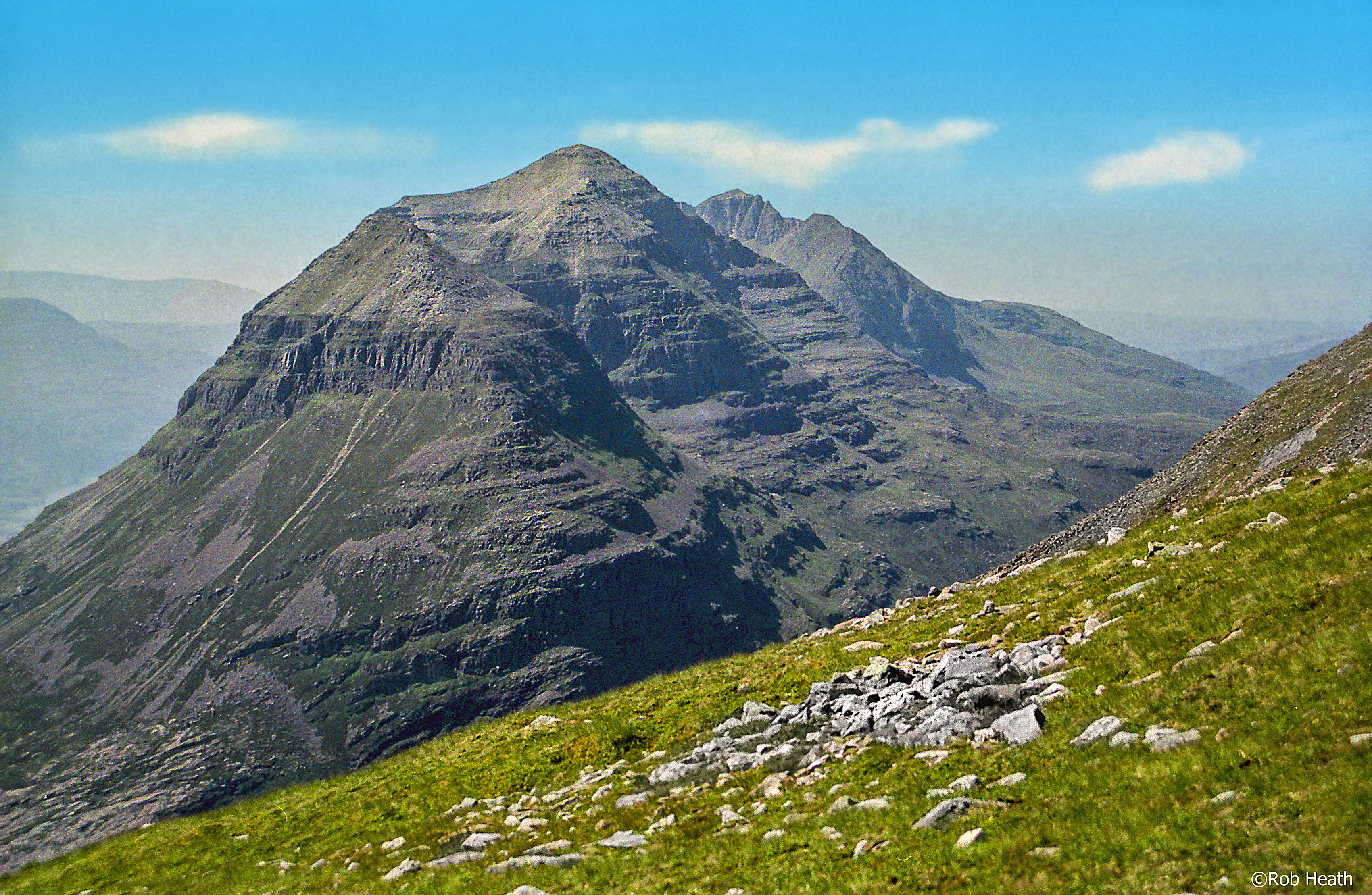
An Teallach (Scottish Gaelic for 'the forge' or 'the anvil') is a mountain group in Wester Ross, in the Northwest Highlands of Scotland. It lies west of Dundonnell Forest, north of Loch na Sealga, and south of Little Loch Broom. Its highest peaks are the Munros of Bidean a' Ghlas Thuill at 1062 m (3484 ft), and Sgùrr Fiona at 1058 m (3473 ft). The mountains are mostly made of Torridonian sandstone. Like the peaks around Torridon (for which the rock is named), An Teallach has terraced sides riven with steep gullies and a sharp rocky summit crest at Sgùrr Fiona. The steepest section, known as Corrag Bhuidhe, rises above Loch Toll an Lochain. Corrag Bhuidhe's most spectacular feature is an overhanging pinnacle known as Lord Berkeley's Seat. Etymology ''Teallach'' usually means a forge or hearth, but can also mean an anvil. It is suggested that the name came from the shape and colour of the mountains, along with smoke-like mist wreathing the pinnacles. Anoth ... [...More Info...] [...Related Items...] OR: [Wikipedia] [Google] [Baidu] |
Tinker
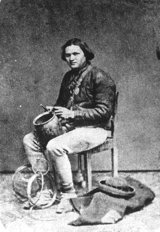
Tinker or tinkerer is an archaic term for an wikt:itinerant, itinerant tinsmith who mends household utensils. Description ''Tinker'' for metal-worker is attested from the thirteenth century as ''tyckner'' or ''tinkler''. Some travelling groups and Romani people specialised in the trade, and the name was particularly associated with indigenous Irish Travellers and Scottish_Gypsy_and_Traveller_groups#Indigenous_Highland_Travellers, Scottish Highland Travellers – the name of whose language ''Beurla Reagaird'' means "metalworkers".Kirk, J. & Ó Baoill, D. ''Travellers and their Language'' (2002) Queen's University Belfast However, this use is considered offensive. The term "tinker", in British English, may refer to a mischievous child. "Tinker's dam" or "damn" and "tinker's curse" Both phrases wikt:tinker's damn, tinker's damn and tinker's curse can be applied to something considered insignificant. An example: "I don't give a tinker's curse what the doctor thinks", sometim ... [...More Info...] [...Related Items...] OR: [Wikipedia] [Google] [Baidu] |
Mountains And Hills Of The Northwest Highlands
A mountain is an elevated portion of the Earth's crust, generally with steep sides that show significant exposed bedrock. Although definitions vary, a mountain may differ from a plateau in having a limited summit area, and is usually higher than a hill, typically rising at least above the surrounding land. A few mountains are isolated summits, but most occur in mountain ranges. Mountains are formed through tectonic forces, erosion, or volcanism, which act on time scales of up to tens of millions of years. Once mountain building ceases, mountains are slowly leveled through the action of weathering, through slumping and other forms of mass wasting, as well as through erosion by rivers and glaciers. High elevations on mountains produce colder climates than at sea level at similar latitude. These colder climates strongly affect the ecosystems of mountains: different elevations have different plants and animals. Because of the less hospitable terrain and climate, mountains t ... [...More Info...] [...Related Items...] OR: [Wikipedia] [Google] [Baidu] |
Marilyns Of Scotland
This is a list of Marilyn hills and mountains in the United Kingdom, Ireland and surrounding islands and sea stacks. Marilyns are defined as peaks with a prominence of or more, regardless of height or any other merit (e.g. topographic isolation, as used in Munros). Thus, Marilyns can be mountains, with a height above , or relatively small hills. there were 2,010 recorded Marilyns. Definition The Marilyn classification was created by Alan Dawson in his 1992 book ''The Relative Hills of Britain''. The name Marilyn was coined by Dawson as a punning contrast to the ''Munro'' classification of Scottish mountains above , but which has no explicit prominence threshold, being homophonous with (Marilyn) '' Monroe''. The list of Marilyns was extended to Ireland by Clem Clements. Marilyn was the first of several subsequent British Isles classifications that rely solely on prominence, including the P600s, the HuMPs, and the TuMPs. Topographic prominence is more difficult to es ... [...More Info...] [...Related Items...] OR: [Wikipedia] [Google] [Baidu] |
Munros
A Munro (; ) is defined as a mountain in Scotland with a height over , and which is on the Scottish Mountaineering Club (SMC) official list of Munros; there is no explicit topographical prominence requirement. The best known Munro is Ben Nevis (Beinn Nibheis), the highest mountain in the British Isles at 4,411 ft (1,345 m). Munros are named after Sir Hugh Munro, 4th Baronet (1856–1919), who produced the first list of such hills, known as ''Munro's Tables'', in 1891. Also included were what Munro considered lesser peaks, now known as Munro Tops, which are also over 3,000 feet but are lower than the nearby primary mountain. The publication of the original list is usually considered to be the Epoch (reference date), epoch event of modern peak bagging. The list has been the subject of subsequent variation and , the Scottish Mountaineering Club has listed 282 Munros and 226 Munro Tops. "Munro bagging" is the activity of climbing all the listed Munros. , 7,654 people had rep ... [...More Info...] [...Related Items...] OR: [Wikipedia] [Google] [Baidu] |
Aonach Eagach
The is a large mountain ridge in the Scottish Highlands, marking the northern edge of Glen Coe. It stretches east–west for several miles and includes two Munro summits: Sgùrr nam Fiannaidh at 967 m (3,175 ft) high, and Meall Dearg at 952 m (3,124 ft) high. The ridge is very rocky and the route along it requires scrambling ability. The slopes to each side are extremely dangerous, with steep grass-and-scree slopes hiding even steeper slopes which end in cliffs on both north and south sides of the ridge. Climbing The Aonach Eagach is usually regarded as the most difficult horizontal 'scrambling' ridge in mainland Scotland, though it vies with Liathach (and, in winter, An Teallach) for this title. In his book "Scrambles in Lochaber", local climber Noel Williams warns that there are no other ridges in the area that are "so narrow and so difficult to escape from once committed. Some sections are extremely exposed. This makes it a difficult outing to grade, ... [...More Info...] [...Related Items...] OR: [Wikipedia] [Google] [Baidu] |
Liathach
; pronounced ) is a mountain in the Torridon Hills, in the Northwest Highlands of Scotland. It stands between Loch Torridon and the neighbouring mountain Beinn Eighe. The mountain is a ridge running east–west, with several peaks, and its upper half is made up of many steep rocky terraces. The highest peak is the Munro of Spidean a' Choire Lèith ('peak of the grey corrie') at high. The other Munro peak is Mullach an Rathain at high. Geology The mountain is composed of Torridonian sandstone which forms massive near-horizontal strata. They form the numerous terraces that are obvious from afar. The rocks are mainly red and chocolate sandstones, arkoses, flagstones and shales with coarse conglomerates locally at the base. Some of the materials of these rocks were derived from the underlying Lewisian gneiss, upon the uneven surface of which they rest, but the bulk of the material was obtained from rocks that are nowhere now exposed. Upon this ancient denuded land surface the T ... [...More Info...] [...Related Items...] OR: [Wikipedia] [Google] [Baidu] |
Scrambling
Scrambling is a mountaineering term for ascending steep terrain using one's hands to assist in holds and balance.''New Oxford American Dictionary''. It can be described as being between hiking and climbing, rock climbing. "A scramble" is a related term, denoting terrain that could be ascended in this way. Sure-footedness and a head for heights are essential. Canyoning and stream climbing both involve scrambling. Overview Scrambling is ascending or traversing a grade without technical apparatus. Unroped ascent in exposure (heights), exposed situations is potentially one of the most dangerous of mountaineering activities. As soon as an ascent involves a rope, going up or down, it is no longer a scramble. Alpine scrambling Alpine scrambling is scrambling in high mountains and may not follow a defined or waymarked path. The Seattle Mountaineers climbing organization defines alpine scrambling as follows: Alpine Scrambles are off-trail trips, often on snow or rock, with a 'non-t ... [...More Info...] [...Related Items...] OR: [Wikipedia] [Google] [Baidu] |
Cirque
A (; from the Latin word ) is an amphitheatre-like valley formed by Glacier#Erosion, glacial erosion. Alternative names for this landform are corrie (from , meaning a pot or cauldron) and ; ). A cirque may also be a similarly shaped landform arising from fluvial erosion. The concave shape of a glacial cirque is open on the downhill side, while the cupped section is generally steep. Cliff-like slopes, down which ice and glaciated debris combine and converge, form the three or more higher sides. The floor of the cirque ends up bowl-shaped, as it is the complex convergence zone of combining ice flows from multiple directions and their accompanying rock burdens. Hence, it experiences somewhat greater erosion forces and is most often overdeepening, overdeepened below the level of the cirque's low-side outlet (stage) and its down-slope (backstage) valley. If the cirque is subject to seasonal melting, the floor of the cirque most often forms a tarn (lake), tarn (small lake) behind a d ... [...More Info...] [...Related Items...] OR: [Wikipedia] [Google] [Baidu] |
Munro's Tables
A Munro (; ) is defined as a mountain in Scotland with a height over , and which is on the Scottish Mountaineering Club (SMC) official list of Munros; there is no explicit topographical prominence requirement. The best known Munro is Ben Nevis (Beinn Nibheis), the highest mountain in the British Isles at 4,411 ft (1,345 m). Munros are named after Sir Hugh Munro, 4th Baronet (1856–1919), who produced the first list of such hills, known as ''Munro's Tables'', in 1891. Also included were what Munro considered lesser peaks, now known as Munro Tops, which are also over 3,000 feet but are lower than the nearby primary mountain. The publication of the original list is usually considered to be the Epoch (reference date), epoch event of modern peak bagging. The list has been the subject of subsequent variation and , the Scottish Mountaineering Club has listed 282 Munros and 226 Munro Tops. "Munro bagging" is the activity of climbing all the listed Munros. , 7,654 people had rep ... [...More Info...] [...Related Items...] OR: [Wikipedia] [Google] [Baidu] |
Topographic Prominence
In topography, prominence or relative height (also referred to as autonomous height, and shoulder drop in US English, and drop in British English) measures the height of a mountain or hill's summit relative to the lowest contour line encircling it but containing no higher summit within it. It is a measure of the independence of a summit. The key col ("saddle") around the peak is a unique point on this contour line and the ''parent peak'' (if any) is some higher mountain, selected according to various criteria. Definitions The prominence of a peak is the least drop in height necessary in order to get from the summit to any higher terrain. This can be calculated for a given peak in the following manner: for every path connecting the peak to higher terrain, find the lowest point on the path; the ''key col'' (or ''highest saddle (landform), saddle'', or ''linking col'', or ''link'') is defined as the highest of these points, along all connecting paths; the prominence is the differ ... [...More Info...] [...Related Items...] OR: [Wikipedia] [Google] [Baidu] |


