|
Ambala–Chandigarh Expressway
Ambala Chandigarh Expressway is four-lane 35 km long, high-traffic density corridor of Ambala-Chandigarh section (km 5.735 to km 39.960 on NH-152 and 0 km to 0.871 km on NH 5) on BOT basis, was completed in 30 months at a cost of The expressway has been operational since December 2009 and was constructed by the GMR Group with assistance from the World Bank. 38 km south of Ambala at existing NH152 (Ambala-Pehowa-Narwana-Fatehabad-Sirsa), it connects with the controlled access tolled Ambala–Narnaul Expressway (Trans-Haryana Expressway). See also * Ambala-Jagadhri highway * National Highway 22, which this Expressway has been part of * Expressways & highways in Haryana * Expressways in Punjab * Expressways in India The expressways of India are the highest class of roads in India. As per NHAI and Indian Roads Congress, expressways are access controlled highways with a divided carriageway, designed for high speed vehicular movement and heavy ... [...More Info...] [...Related Items...] OR: [Wikipedia] [Google] [Baidu] |
Ambala
Ambala () is a city and a municipal corporation in Ambala district in the state of Haryana, India, located on the border with the Indian state of Punjab (India), Punjab and in proximity to both states capital Chandigarh. Politically, Ambala has two sub-areas: Ambala Cantonment (also known as Ambala Cantt) and Ambala City railway station, Ambala City, eight kilometres apart, therefore, it is also known as "Twin City." It has a large Indian Army and Indian Air Force presence within its cantonment area. It is located 200 km (124 mi) to the north of New Delhi, India's capital, and has been identified as a National Capital Region (India)#Counter magnets, counter-magnet city for the National Capital Region (India), National Capital Region to develop as an alternative center of growth to Delhi. Ambala separates the Ganges river network from the Indus river network and is surrounded by two rivers – Ghaggar-Hakra River, Ghaggar and Dangri, Tangri – to the north ... [...More Info...] [...Related Items...] OR: [Wikipedia] [Google] [Baidu] |
National Highway 22 (India)
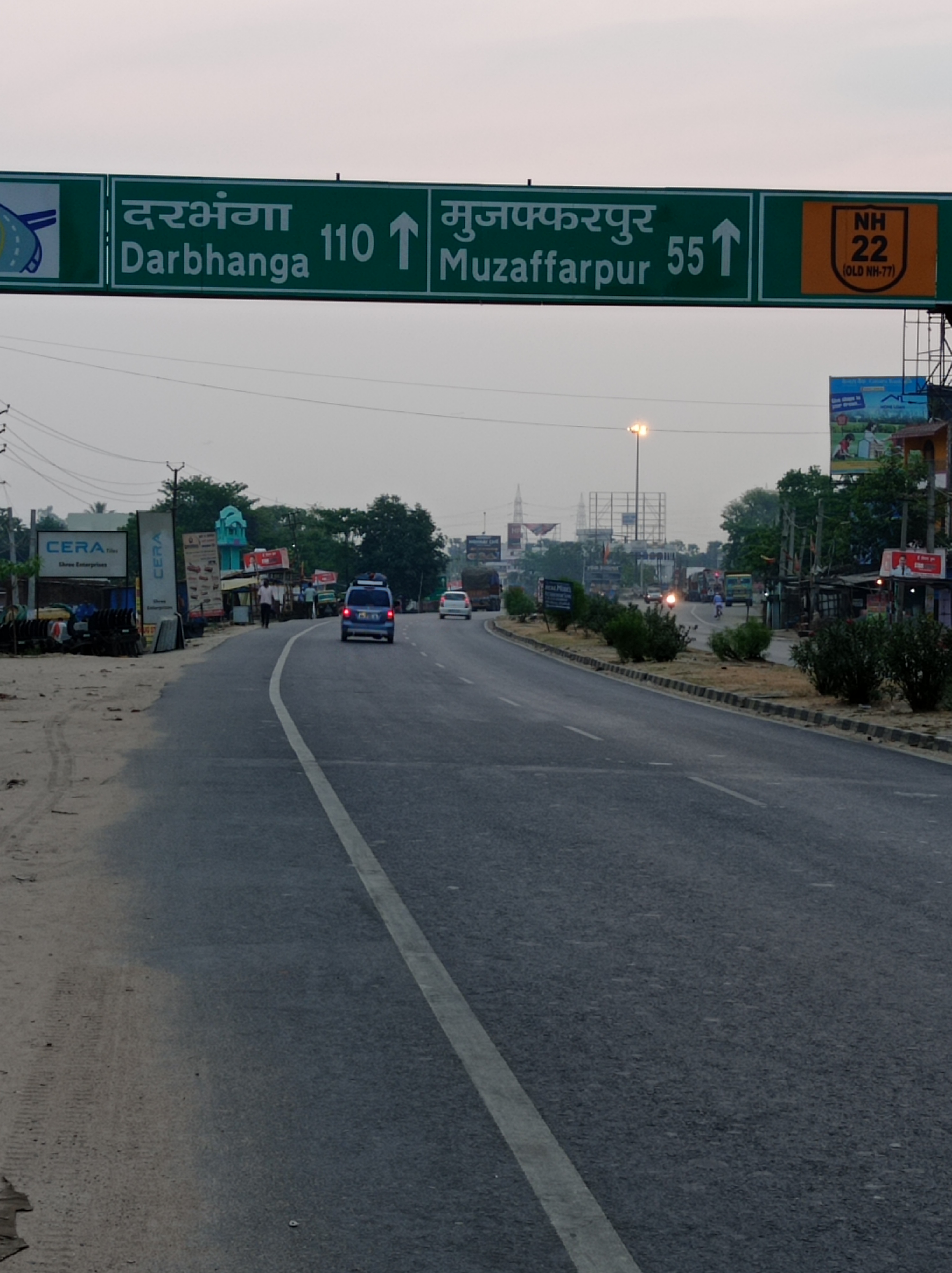
National Highway 22 (NH 22) is a National Highway (India), National Highway in India. This highway runs from Sonbarsa (Sitamarhi district) in Bihar to Lohardaga (Latehar district) in Jharkhand. Sonbarsa is situated on India/ Nepal border. Route NH-22 passes through following cities in Bihar and Jharkhand from north to south direction: Bihar * Sonbarsa (Indo-Nepal border) * Dumra, Sitamarhi district, Dumra (Sitamarhi) * Runni Saidpur * Bairia, Muzaffarpur * Goraul (Vaishali) * Bhagwanpur, Vaishali, Bhagwanpur * Dighikala, Hajipur * Kumhrar, Patna (connecting National Highway 31 (India), NH-31) * Punpun * Masaurhi (Patna) * Jehanabad (connecting National Highway 33 (India), NH-33) * Belaganj * Gaya, India, Gaya * Bodh Gaya * Dobhi (connecting National Highway 19 (India), GT Road/NH-19) Jharkhand * Hunterganj * Jori Kalan * Chatra, Jharkhand, Chatra * Balumath * Chandwa (Latehar) (connecting National Highway 39 (India), NH-39) * Lohardaga References Nation ... [...More Info...] [...Related Items...] OR: [Wikipedia] [Google] [Baidu] |
Transport In Ambala
Transport (in British English) or transportation (in American English) is the intentional movement of humans, animals, and goods from one location to another. Modes of transport include air, land (rail and road), water, cable, pipelines, and space. The field can be divided into infrastructure, vehicles, and operations. Transport enables human trade, which is essential for the development of civilizations. Transport infrastructure consists of both fixed installations, including roads, railways, airways, waterways, canals, and pipelines, and terminals such as airports, railway stations, bus stations, warehouses, trucking terminals, refueling depots (including fuel docks and fuel stations), and seaports. Terminals may be used both for the interchange of passengers and cargo and for maintenance. Means of transport are any of the different kinds of transport facilities used to carry people or cargo. They may include vehicles, riding animals, and pack animals. Vehicles may includ ... [...More Info...] [...Related Items...] OR: [Wikipedia] [Google] [Baidu] |
Transport In Chandigarh
Chandigarh is a city and union territory in northern India, serving as the shared capital of the states of Punjab and Haryana. Situated near the foothills of the Shivalik range of Himalayas, it borders Haryana to the east and Punjab in the remaining directions. Chandigarh constitutes the bulk of the Chandigarh Capital Region or Greater Chandigarh, which also includes the adjacent satellite cities of Panchkula in Haryana and Mohali in Punjab. It is located 260 km (162 miles) northwest of New Delhi and 229 km (143 miles) southeast of Amritsar and 104 km (64 miles) southwest of Shimla. Chandigarh is one of the earliest planned cities in post independence India and is internationally known for its architecture and urban design. The master plan of the city was prepared by Swiss-French architect Le Corbusier, which built upon earlier plans created by the Polish architect Maciej Nowicki and the American planner Albert Mayer. Narinder Singh Lamba, in the capacity of Chief T ... [...More Info...] [...Related Items...] OR: [Wikipedia] [Google] [Baidu] |
Expressways In Haryana 's ''Robot'' series
{{disambig ...
Expressway may refer to: *Controlled-access highway, the highest-grade type of highway with access ramps, lane markings, etc., for high-speed traffic *Limited-access road, a lower grade of highway or arterial road * ''Expressway'' (film), a 2016 Filipino action thriller film *Expressway, the fictional slidewalk transport system in Isaac Asimov Isaac Asimov ( ; – April 6, 1992) was an Russian-born American writer and professor of biochemistry at Boston University. During his lifetime, Asimov was considered one of the "Big Three" science fiction writers, along with Robert A. H ... [...More Info...] [...Related Items...] OR: [Wikipedia] [Google] [Baidu] |
Expressways In India
The expressways of India are the highest class of roads in India. As per NHAI and Indian Roads Congress, expressways are access controlled highways with a divided carriageway, designed for high speed vehicular movement and heavy traffic. As of December 2024, the total length of expressways in India was , with under construction. In expressways there is a central reservation or median that separates the flow travelling in opposite directions. Entrance and exits are provided only by grade separated interchanges. The interchanges may be system interchanges (such as cloverleaf, three-way, trumpet) used with other national or state highways or be service interchanges (such as SPDI) used with smaller roads. In contrast, National highways may or may not be divided by a median and may or may not have access control. Some highways, built by State Governments, which may be fully access controlled or may be limited access controlled, are declared or named as expressways by the ... [...More Info...] [...Related Items...] OR: [Wikipedia] [Google] [Baidu] |
List Of State Highways In Punjab
This is a list of state highways and expressways in Punjab, India. Expressways Expressways in Punjab in India are as follows: * 1. Delhi–Chandigarh–Shimla route. ** 1a. Chandigarh–Shimla Expressway NH-5 *** 1a.1. Himalayan Expressway, 27 km, from Zirakpur to Parwanoo, part of Chandigarh–Shimla Expressway, operational. ** 1b. Ambala–Chandigarh Expressway NH-152, 35 km, greenfield, operational. * 2. Amritsar–Ludhiana–Chandigarh–Haridwar route: ** 2a. Ludhiana–Rupnagar Expressway NH-205K, 91 km, Rs. 2792 Crore, greenfield, 4-6 lane access-controlled highway connecting Manewal village near Ludhiana on the "Delhi–Amritsar Expressway" with Bheora village near Rupnagar ( Ropar or SAS Nagar) in Punjab. *** 2a.1. Kharar spur, includes a 19.5 km spur to Kharar, under construction. *** 2a.2. Ludhiana Elevated Corridor, brownfield, operational. ** 2b. Ambala–Shamli Expressway, greenfield, under-construction. ** 2c. Chandigarh–Haridwar Expressway, ... [...More Info...] [...Related Items...] OR: [Wikipedia] [Google] [Baidu] |
List Of State Highways In Haryana
The state of Haryana in North India has a vast road network with 34 National Highways (NH) with a total length of 2,484 km, 11 Expressways (including 3 National Expressways), State Highways (SH) with a total length of 1,801 km, major district roads (MDR) with a length of 1,395 km and other district roads with a length of 26,022 km (2016). List of national highways in Haryana # National Highway 105 (India) # National Highway 11 (India) # National Highway 148A (India) # National Highway 148B (India) # National Highway 148N (India) # National Highway 152 (India) # National Highway 152A (India) # National Highway 152D (India) # National Highway 248A (India) # National Highway 248BB (India) # National Highway 254 (India) # National Highway 334B (India) # National Highway 334D (India) # National Highway 344 (India) # National Highway 352 (India) # National Highway 352A (India) # National Highway 352R (India) # National Highway 352W (India) # ... [...More Info...] [...Related Items...] OR: [Wikipedia] [Google] [Baidu] |
Chandigarh
Chandigarh is a city and union territory in northern India, serving as the shared capital of the states of Punjab and Haryana. Situated near the foothills of the Shivalik range of Himalayas, it borders Haryana to the east and Punjab in the remaining directions. Chandigarh constitutes the bulk of the Chandigarh Capital Region or Greater Chandigarh, which also includes the adjacent satellite cities of Panchkula in Haryana and Mohali in Punjab. It is located 260 km (162 miles) northwest of New Delhi and 229 km (143 miles) southeast of Amritsar and 104 km (64 miles) southwest of Shimla. Chandigarh is one of the earliest planned cities in post independence India and is internationally known for its architecture and urban design. The master plan of the city was prepared by Swiss-French architect Le Corbusier, which built upon earlier plans created by the Polish architect Maciej Nowicki and the American planner Albert Mayer. Narinder Singh Lamba, in the capacity ... [...More Info...] [...Related Items...] OR: [Wikipedia] [Google] [Baidu] |
National Highway 152D (India)
The Trans-Haryana Expressway or the Ambala–Narnaul Expressway (NH-152D) is a 227-km long, 6-lane wide greenfield access-controlled expressway, connecting the cities of Ambala and Narnaul in the state of Haryana. The expressway connects Gangheri village (on NH-152) in Kurukshetra district (near Ismailabad) with Surana village on Narnaul Bypass ( NH-148B) in Mahendragarh district. It passes via Kaul, Pundri, Pillu khera, Julana, Kalanaur, Charkhi Dadri and Kanina. It will reduce the distance from Chandigarh to Delhi, Narnaul, and Jaipur, thus decongesting NH-44 and NH-48. The alignment intersects with 15 national highways, including NH-9, and several State Highways, including SH6, SH9, SH8, SH11, SH12, SH14, SH10, SH16A, SH20, SH24 and SH26. The area around the expressway is being developed as an industrial corridor, named as the Ambala–Kotputli Economic Corridor. Construction was started in July 2020, and was completed and opened for traffic on 1 August 2022. ... [...More Info...] [...Related Items...] OR: [Wikipedia] [Google] [Baidu] |
World Bank
The World Bank is an international financial institution that provides loans and Grant (money), grants to the governments of Least developed countries, low- and Developing country, middle-income countries for the purposes of economic development. The World Bank is the collective name for the International Bank for Reconstruction and Development (IBRD) and International Development Association (IDA), two of five international organizations owned by the World Bank Group. It was established along with the International Monetary Fund at the 1944 Bretton Woods Conference. After a slow start, its first loan was to France in 1947. In its early years, it primarily focused on rebuilding Europe. Over time, it focused on providing loans to developing world countries. In the 1970s, the World Bank re-conceptualized its mission of facilitating development as being oriented around poverty reduction. For the last 30 years, it has included NGOs and environmental groups in its loan portfolio. Its ... [...More Info...] [...Related Items...] OR: [Wikipedia] [Google] [Baidu] |


