|
1979–80 Yugoslav Second League
The 1979–80 Yugoslav Second League season was the 34th season of the Second Federal League (), the second level association football competition of SFR Yugoslavia, since its establishment in 1946. The league was contested in two regional groups (West Division and East Division), with 16 clubs each. West Division Teams A total of sixteen teams contested the league, including eleven sides from the 1978–79 season, one club relegated from the 1978–79 Yugoslav First League and four sides promoted from the Inter-Republic Leagues played in the 1978–79 season. The league was contested in a double round robin format, with each club playing every other club twice, for a total of 30 rounds. Two points were awarded for wins and one point for draws. NK Zagreb were relegated from the 1978–79 Yugoslav First League after finishing the season in 17th place of the league table. The four clubs promoted to the second level were Istra Pula, Jedinstvo Bihać, Rudar Trbovlje and Vrbas. ... [...More Info...] [...Related Items...] OR: [Wikipedia] [Google] [Baidu] |
Yugoslav Second League
Yugoslav Second League ( Bosnian: ''Druga savezna liga,'' Croatian: ''Druga savezna liga'', Serbian: ''Друга савезна лига'', Slovenian: ''Druga zvezna liga'', Macedonian: ''Втора сојузна лига'', ''Vtora sojuzna liga'') was the second tier football league of SFR Yugoslavia. The top clubs were promoted to the top tier, the Yugoslav First League. Although the Yugoslav First League had existed since 1923, the unified Second League was only introduced in 1947. It existed until 1992. League format Over the years, the league changed its format many times: *In 1946–47 each of the six Yugoslav federal republics had its own league (SR Bosnia and Herzegovina, SR Croatia, SR Macedonia, SR Montenegro, SR Serbia and SR Slovenia) *In 1947–48 the leagues were merged into a single national "Unified League" (''Jedinstvena liga'') *In 1952 each of the republics played its own second-level "Republic League" again (''Republička liga'') *In 1952–53 a num ... [...More Info...] [...Related Items...] OR: [Wikipedia] [Google] [Baidu] |
NK Jedinstvo Bihać
Nogometni klub Jedinstvo Bihać is a professional association football club based in the city of Bihać, Bosnia and Herzegovina. The club's stadium is called Pod Borićima Stadion and it has capacity for 7,500 spectators. The fans of NK Jedinstvo are called ''Sila Nebeska 96''. History The first football club in Bihać was founded around 1919 or 1920, with the exact date being unknown due to a non-payment of a membership fee to the football association. Jedinstvo was registered with the football association for the first time in 1937. Jedinstvo spent several years playing in the Yugoslav Second League between 1979 and the time of their relegation in 1986. The club appeared in the 1999 UEFA Intertoto Cup, making it to the second round of the competition, eliminating Faroese club GÍ Gøtu in the first round and then getting eliminated by Ceahlăul Piatra Neamț in the second round. In the 2003–04 league season, Jedinstvo led the start of the Bosnian Premier League, but wou ... [...More Info...] [...Related Items...] OR: [Wikipedia] [Google] [Baidu] |
Velenje
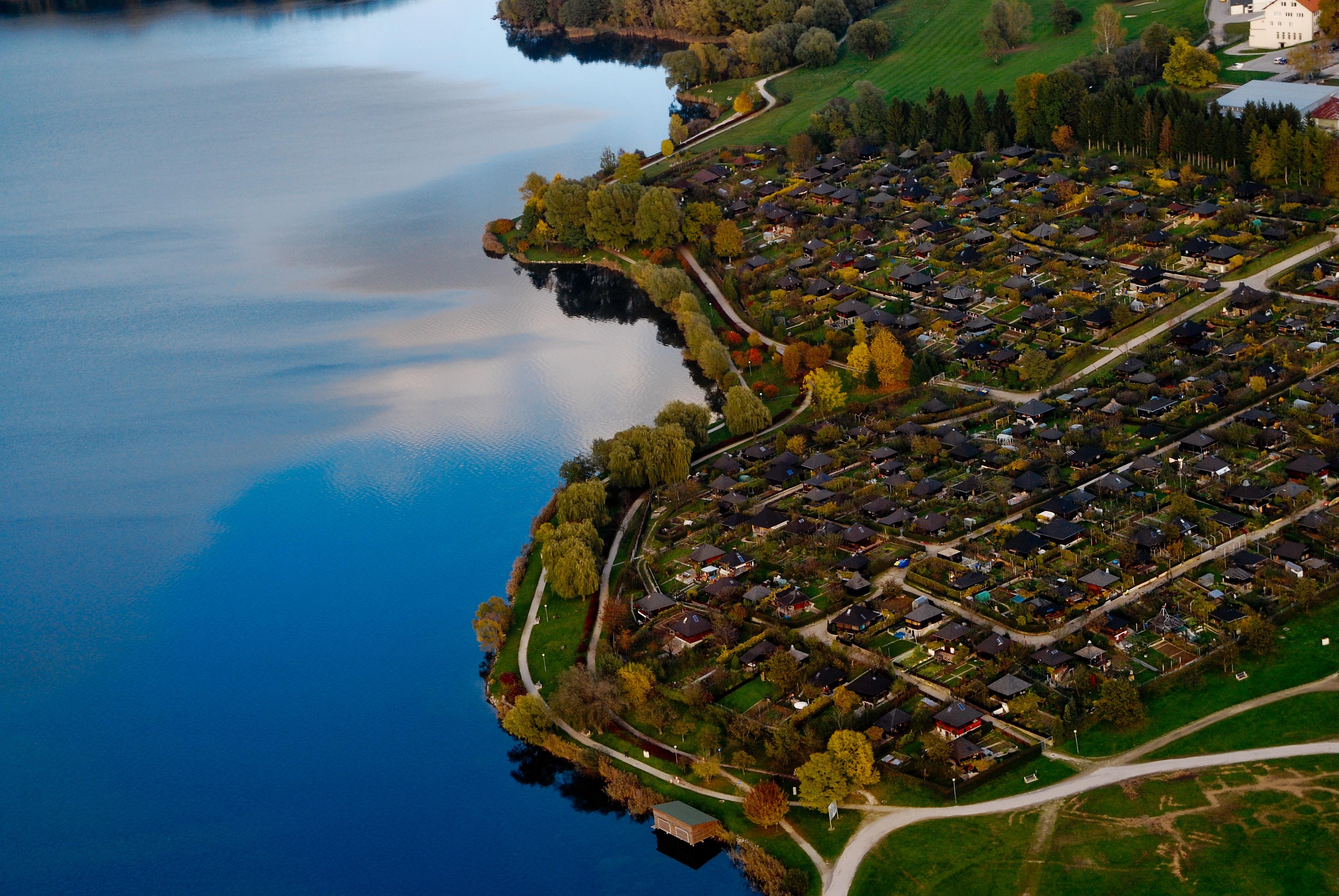
Velenje (; ''Leksikon občin kraljestev in dežel zastopanih v državnem zboru,'' vol. 4: ''Štajersko''. 1904. Vienna: C. Kr. Dvorna in Državna Tiskarna, p. 272.) is the List of cities and towns in Slovenia, sixth-largest city of Slovenia, and the seat of local government, seat of the City Municipality of Velenje, Municipality of Velenje. The city is located in the traditional Slovenian region of Styria (Slovenia), Styria (northeastern Slovenia), among the rolling green hills of the Šalek Valley, with the Kamnik–Savinja Alps to the west and the Pohorje, Pohorje Mountains to the east. Name Velenje was first attested in written sources in 1264 as ''Weln'' (and as ''Welan'' in 1270, and ''Belen'' and ''Welen'' in 1296). The name derives from *''Velen′e selo'' 'Velenъ's village'. A less likely hypothesis derives the name from the Slovene common noun ''velen(je)'' 'pasture for livestock'. The name of the town was changed to ''Titovo Velenje'' (literally, 'Tito's Velenje') in 19 ... [...More Info...] [...Related Items...] OR: [Wikipedia] [Google] [Baidu] |
Trebinje
Trebinje ( sr-Cyrl, Требиње, ) is a city and municipality in Republika Srpska, Bosnia and Herzegovina. It is the southernmost city in Bosnia and Herzegovina and is situated on the banks of the Trebišnjica river in the region of East Herzegovina. As of 2013, it has a population of 31,433 inhabitants. The city's old town quarter dates to the 18th-century Ottoman period and includes the Arslanagić Bridge, also known as Perovića Bridge. Geography Physical geography The city lies in the Trebišnjica river valley, at the foot of Leotar, in southeastern Herzegovina, some by road from Dubrovnik, Croatia, on the Adriatic coast. There are several watermill, mills along the river, as well as several bridges, including three in the city of Trebinje itself, as well as a historic Ottoman Empire, Ottoman Arslanagić Bridge nearby. The river is heavily exploited for hydro-electric energy. After it passes through the Popovo polje, Popovo Polje area southwest of the city, the river ... [...More Info...] [...Related Items...] OR: [Wikipedia] [Google] [Baidu] |
Trbovlje
Trbovlje (; ''Leksikon občin kraljestev in dežel zastopanih v državnem zboru,'' vol. 4: ''Štajersko''. 1904. Vienna: C. Kr. Dvorna in Državna Tiskarna, p. 58.) is Slovenia's eleventh-largest town, located in the traditional province of Styria (Slovenia), Styria and acting as the seat of local government, seat of the Municipality of Trbovlje. A historically renowned mining town, Trbovlje is located in the valley of a minor left tributary of the Sava, Sava River in the Central Sava Valley in central-eastern Slovenia. Name Trbovlje was attested in written sources in 1220–30 as ''Trefeul'' (and as ''Trevůl'' and ''Trevol'' in 1265–67, ''Triuella'' in 1302, ''Trifeul'' in 1325, ''Triueal'' in 1330, and ''Triuel'' in 1424). The name is a feminine plural noun in standard Slovene, but in the local dialect it is declined as a neuter singular adjective. This indicates that the name is derived from ''*Trěbovľe selo'' (literally, 'Trěbo's village'), referring to an early inhabitant ... [...More Info...] [...Related Items...] OR: [Wikipedia] [Google] [Baidu] |
Vrbas (town)
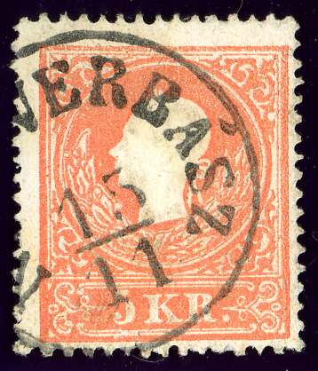
Vrbas ( sr-Cyrl, Врбас) is a town and municipality located in the South Bačka District of the autonomous province of Vojvodina, Serbia. As of 2022, the town has a population of 20,892, while the municipality has 36,601 inhabitants. Name Its name stems from the word for 'willow' in Serbian. During the SFRY period, the town was renamed ''Titov Vrbas'' (meaning 'Tito's Vrbas'), after Josip Broz Tito. Like all other towns in communist Yugoslavia named after Tito, the first part was dropped once the new states were formed during the early 1990s. In Rusyn, the town is known as ''Вербас'', in Hungarian as ''Verbász'', in Croatian as ''Vrbas'', in German as ''Werbass'', and in Turkish as ''Verbas''. History Vrbas was mentioned first in 1213 during the administration of the Kingdom of Hungary. According to other sources, it was mentioned first in 1387. In the 16th century it became a part of the Ottoman Empire. During Ottoman administration it was populated by ethni ... [...More Info...] [...Related Items...] OR: [Wikipedia] [Google] [Baidu] |
Subotica
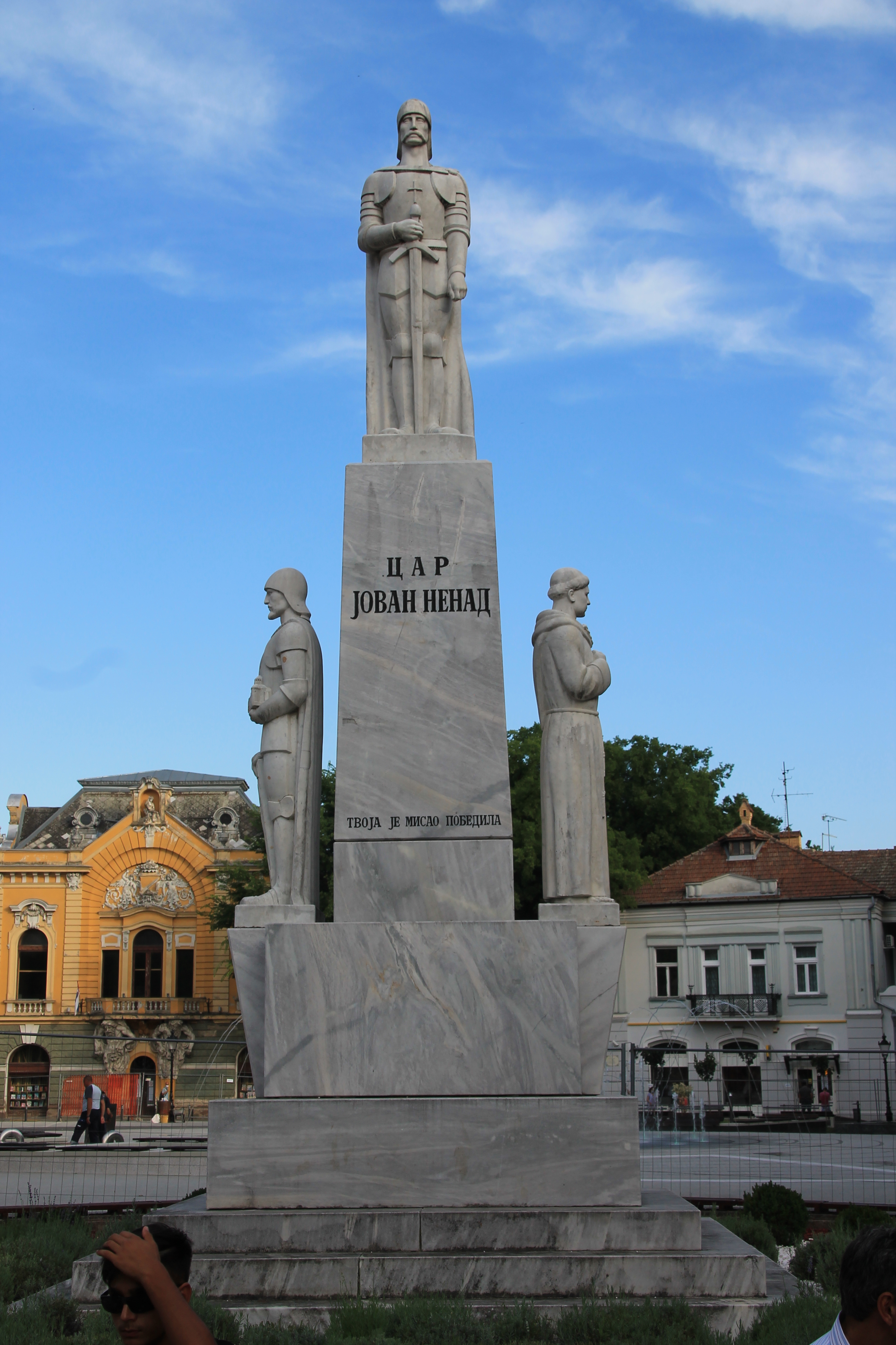
Subotica (, ; , , ) is a List of cities in Serbia, city in Central Europe and the administrative center of the North Bačka District in the autonomous province of Vojvodina, Serbia. Formerly the largest city of Vojvodina region, contemporary Subotica is now the second largest city in the province, following the city of Novi Sad. According to the 2022 census, the urban area of the city (including adjacent settlement of Palić) has a population of 94,228, and the population of metro area (the administrative area of the city) stands at 123,952 people. Name The name of the city has changed frequently over time.History of Subotica Retrieved 8 September 2022. The earliest known written name of the city was ''Zabotka'' or ''Zabatka'', which dates from 1391. It is the origin of the current Hungarian n ... [...More Info...] [...Related Items...] OR: [Wikipedia] [Google] [Baidu] |
Pula
Pula, also known as Pola, is the largest city in Istria County, west Croatia, and the List of cities and towns in Croatia, seventh-largest city in the country, situated at the southern tip of the Istria, Istrian peninsula in western Croatia, with a population of 52,220 in 2021. It is known for its multitude of ancient Roman Empire, Roman buildings, the most famous of which is the Pula Arena, one of the best preserved Roman amphitheaters. The city has a long tradition of wine making, fishing, shipbuilding, and tourism. It was the administrative centre of Istria from ancient Rome, ancient Roman times until superseded by Pazin in 1991. History Pre-history Evidence of the presence of ''Homo erectus'' one million years ago has been found in the cave of Šandalja near Pula. Pottery from the Neolithic period (6000–2000 BC), indicating Colonization, human settlement, has been found around Pula. In the Bronze Age (1800–1000 BC), a new type of settlement appeared in Istria, called ... [...More Info...] [...Related Items...] OR: [Wikipedia] [Google] [Baidu] |
Novi Sad
Novi Sad ( sr-Cyrl, Нови Сад, ; #Name, see below for other names) is the List of cities in Serbia, second largest city in Serbia and the capital of the autonomous province of Vojvodina. It is located in the southern portion of the Pannonian Plain on the border of the Bačka and Syrmia geographical regions. Lying on the banks of the Danube river, the city faces the northern slopes of Fruška Gora and it is the fifth largest of all List of cities and towns on the river Danube, cities on the river Danube. It is the largest Danube city that is not the capital of an independent state. , the population of the city proper area totals 260,438 while its urban area (including the adjacent settlements of Petrovaradin and Sremska Kamenica) comprises 306,702 inhabitants. According to the city's Informatika Agency, Novi Sad had 415,712 residents in 2025. Novi Sad was founded in 1694, when Serb merchants formed a colony across the Danube from the Petrovaradin Fortress, a strategic Habsb ... [...More Info...] [...Related Items...] OR: [Wikipedia] [Google] [Baidu] |
Maribor
Maribor ( , , ; also known by other #Name, historical names) is the List of cities and towns in Slovenia, second-largest city in Slovenia and the largest city of the traditional region of Styria (Slovenia), Lower Styria. It is the seat of the Urban Municipality of Maribor and the Drava Statistical Region, Drava statistical region. Maribor is also the economic, administrative, educational, and cultural centre of eastern Slovenia. Maribor was first mentioned as a castle in 1164, as a settlement in 1209, and as a city in 1254. Like most Slovene Lands, Slovene ethnic territory, Maribor was under Habsburg monarchy, Habsburg rule until 1918, when Rudolf Maister and his men secured the city for the State of Slovenes, Croats and Serbs, which then joined the Kingdom of Serbia to form the Kingdom of Yugoslavia. In 1991 Maribor became part of independent Slovenia. Maribor, along with the Portuguese city of Guimarães, was selected as the European Capital of Culture for 2012. Name Maribo ... [...More Info...] [...Related Items...] OR: [Wikipedia] [Google] [Baidu] |
Kikinda
Kikinda ( sr-Cyrl, Кикинда, ; ) is a List of cities in Serbia, city and the administrative center of the North Banat District in Serbia. The city's urban area has 32,084 inhabitants, while the city administrative area has 49,326 inhabitants. The city was founded in the 18th century. From 1774 to 1874 Kikinda was the seat of the District of Velika Kikinda, an autonomous administrative unit of Habsburg monarchy. In 1893, Kikinda was granted the status of a city. The city became part of the Kingdom of Serbia (and Kingdom of Serbs, Croats and Slovenes) in 1918, and it lost the city status. The status was re-granted in 2016. In 1996, the well-preserved archaeological remnants of a half a million-year-old mammoth were excavated on the outer edge of the town area. The mammoth called "Kika" has become one of the symbols of the town. Today it is exhibited in the National Museum of Kikinda. Other attractions of the city are the Suvača – a unique Horse mill, horse-powered dry m ... [...More Info...] [...Related Items...] OR: [Wikipedia] [Google] [Baidu] |
Hrasnica (Ilidža)
Hrasnica is an urban neighborhood located in the municipality of Ilidža, Sarajevo Canton of the Federation of Bosnia and Herzegovina, an entity of Bosnia and Herzegovina Bosnia and Herzegovina, sometimes known as Bosnia-Herzegovina and informally as Bosnia, is a country in Southeast Europe. Situated on the Balkans, Balkan Peninsula, it borders Serbia to the east, Montenegro to the southeast, and Croatia to th .... According to the 1991 Yugoslav census, it had a population of 12,437 inhabitants, divided in two administrative areas, Hrasnica 1 and Hrasnica 2.VO PREMA NACIONALNOJ PRIPADNOSTI">STANOVNI[TVO PREMA NACIONALNOJ PRIPADNOSTI/ref> See also *List of cities in Bosnia and Herzegovina *Municipalities of Bosnia and Herzegovina References Populated places in Ilidža {{Bosnia-geo-stub ... [...More Info...] [...Related Items...] OR: [Wikipedia] [Google] [Baidu] |


