Urban Employment Area on:
[Wikipedia]
[Google]
[Amazon]

 is a definition of


 Source
Urban Employment Area (UEA) Code Table
*''W/L'' here is ''jūgyō jōjū jinkōhi'' (従業常住人口比), the ratio of workers in the area, against the number of workers living in the area. *DID population here is a population of central city. If an area has multiple central cities, only the most populous one among them is counted. *A 2015 population decrease from 2005 is written in figures. *Metropolitan Employment Area (MEA) is listed on white background. Micropolitan Employment Area (McEA) is listed on background. *
UEA Urban Employment Area
Metropolitan areas of Japan

 is a definition of
 metropolitan area
A metropolitan area or metro is a region that consists of a densely populated urban agglomeration and its surrounding territories sharing industries, commercial areas, transport network, infrastructures and housing. A metro area usually ...
s used in Japan
Japan ( ja, 日本, or , and formally , ''Nihonkoku'') is an island country in East Asia. It is situated in the northwest Pacific Ocean, and is bordered on the west by the Sea of Japan, while extending from the Sea of Okhotsk in the n ...
, defined by the Center for Spatial Information Service of the University of Tokyo
, abbreviated as or UTokyo, is a public research university located in Bunkyō, Tokyo, Japan. Established in 1877, the university was the first Imperial University and is currently a Top Type university of the Top Global University Project b ...
. Japan's Ministry of Economy, Trade and Industry
The or METI, is a ministry of the Government of Japan. It was created by the 2001 Central Government Reform when the Ministry of International Trade and Industry (MITI) merged with agencies from other ministries related to economic activiti ...
defined 233 areas for the UEAs of Japan. It is different from the definition of metropolitan areas defined in census by the Ministry of Internal Affairs and Communications
The is a cabinet-level ministry in the Government of Japan. Its English name was Ministry of Public Management, Home Affairs, Posts and Telecommunications (MPHPT) prior to 2004. It is housed in the 2nd Building of the Central Common Government Of ...
. For the latter scheme, see the List of metropolitan areas in Japan article.
The basic principle of UEA is similar to that of the Statistics Bureau definition; a central city and its associated outlying municipalities
A municipality is usually a single administrative division having corporate status and powers of self-government or jurisdiction as granted by national and regional laws to which it is subordinate.
The term ''municipality'' may also mean the ...
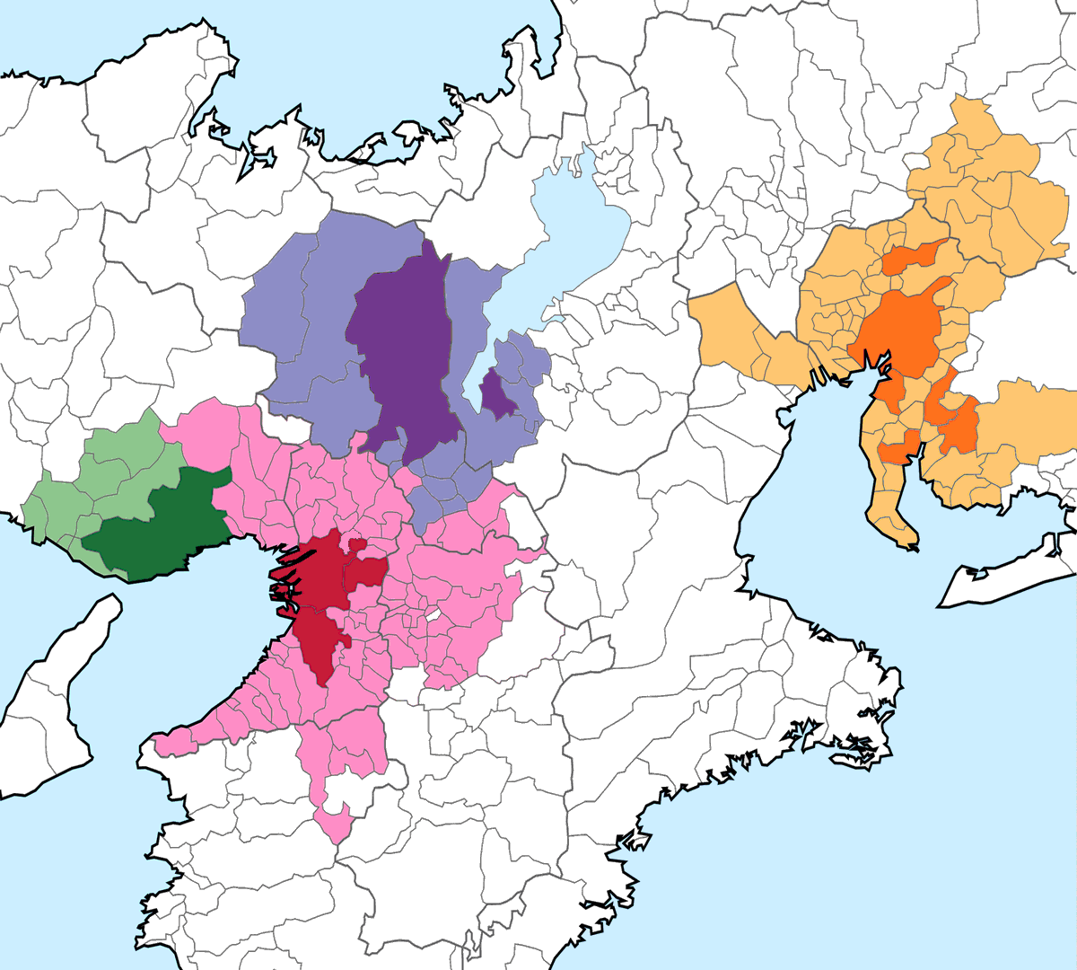
with certain numbers of commuters. A UEA with at least 50,000 DID (Densely Inhabited District) population is called or MEA for short in English. A UEA with at least 10,000 and less than 50,000 DID population is called or McEA for short in English.
Definition
;Central city: *If a municipality has at least 10,000 DID population, and is not a suburb of any other municipalities, it is defined as a central city. *Even if a municipality is a suburb of another, it can still be defined as a central city. In this case, a municipality must have workers working there more than those living there. It must also have the DID population of at least 10,000, or a third of the population of the central city. ;Suburb: *If a municipality A has more than 10% of its population commuting to a central city B, A is defined as a (primary) suburb of B. **If there are multiple such cities for a suburb A, the one with the most commuters from A is defined as A's central city. *If a municipality A has more than 10% of its population commuting to another suburb B, and if no other municipalities have more commuters from A, A is defined as a secondary suburb or lower of B. *If a municipality A has more than 10% of its population commuting to B and vice versa, the one with the higher percentage of commuters is defined as a suburb of another. *If a central city comprises multiple municipalities, numbers of commuters to all those municipalities are counted for the calculations above.Top 100 Urban Employment Areas in Japan


 Source
Urban Employment Area (UEA) Code Table
*''W/L'' here is ''jūgyō jōjū jinkōhi'' (従業常住人口比), the ratio of workers in the area, against the number of workers living in the area. *DID population here is a population of central city. If an area has multiple central cities, only the most populous one among them is counted. *A 2015 population decrease from 2005 is written in figures. *Metropolitan Employment Area (MEA) is listed on white background. Micropolitan Employment Area (McEA) is listed on background. *
Prefectural
A prefecture (from the Latin ''Praefectura'') is an administrative jurisdiction traditionally governed by an appointed prefect. This can be a regional or local government subdivision in various countries, or a subdivision in certain international ...
capital is numbered with background.
*1980 ranks include Kurashiki MEA, which was merged with Okayama MEA in 2000. Those under No. 100 are marked as "-".
These areas have multiple central cities. Municipal names are as of 2015.
*Tokyo: 8; Special wards of Tokyo
are a special form of municipalities in Japan under the 1947 Local Autonomy Law. They are city-level wards: primary subdivisions of a prefecture with municipal autonomy largely comparable to other forms of municipalities.
Although the auton ...
, Saitama, Chiba, Tachikawa
250px, Showa Memorial Park
is a city located in the western portion of Tokyo Metropolis, Japan. , the city had an estimated population of 184,383 in 93,428 households, and a population density of 7600 persons per km2. The total area of the ci ...
, Musashino, Yokohama
is the second-largest city in Japan by population and the most populous municipality of Japan. It is the capital city and the most populous city in Kanagawa Prefecture, with a 2020 population of 3.8 million. It lies on Tokyo Bay, south of T ...
, Kawasaki, and Atsugi
is a city located in Kanagawa Prefecture, Japan. , the city had an estimated population of 223,960 and a population density of 2400 persons per km². The total area of the city is .
While the name "Atsugi" is often associated with the Unite ...
.
*Osaka: 4; Osaka, Sakai, Moriguchi
is a city located in Osaka Prefecture, Japan. , the city had an estimated population of 142,655 in 73353 households and a population density of 11,000 persons per km². The total area of the city is .
Geography
Moriguchi borders the northea ...
, Kadoma, and Higashiosaka.
*Nagoya: 6; Nagoya, Komaki, Tokai, Handa, Kariya, and Anjō
is a city in Aichi Prefecture, Japan. , the city had an estimated population of 188,693 in 76,087 households, and a population density of 2,193 persons per km². The total area of the city was .
Geography
Anjō is situated in southern Aichi P ...
.
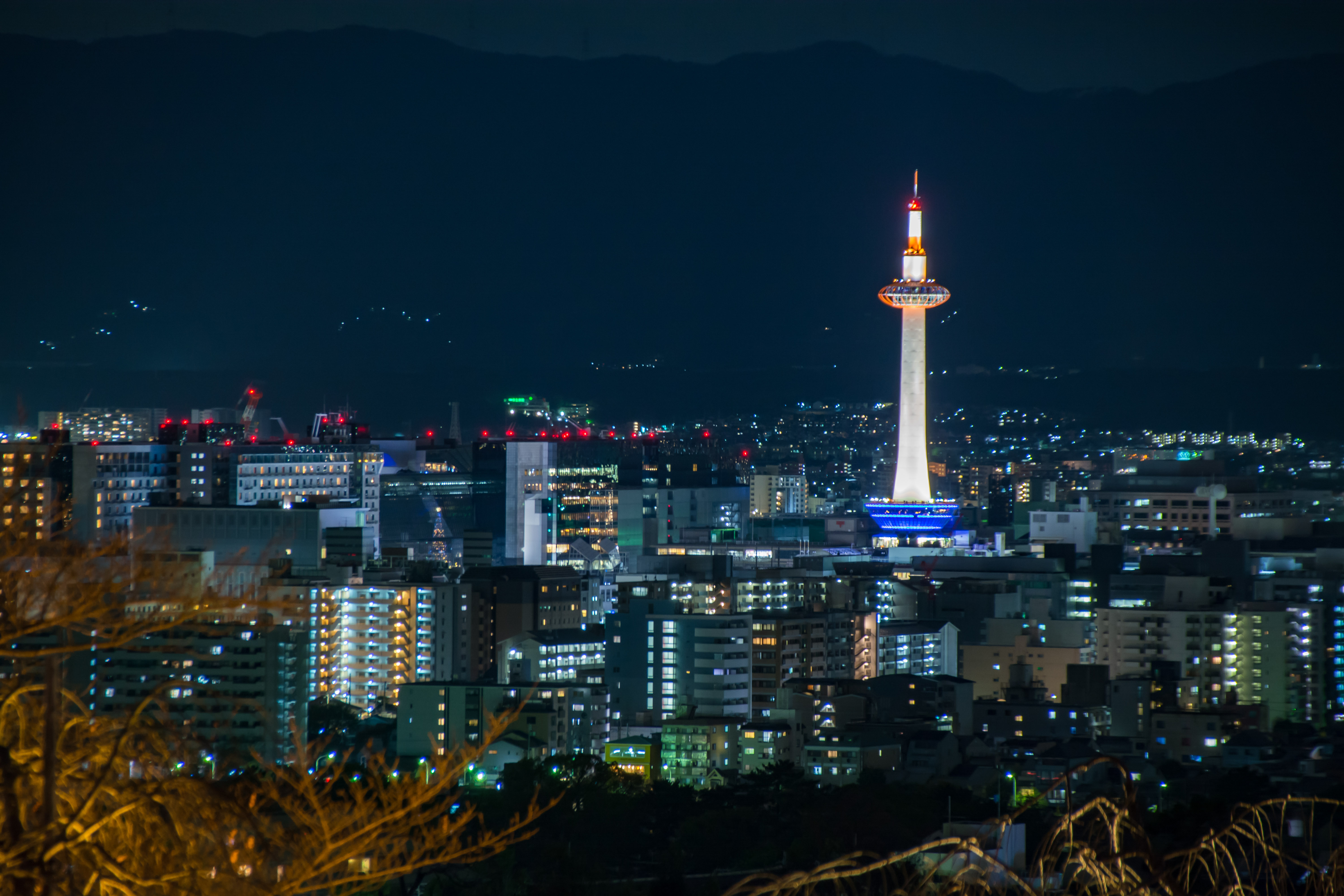
*Kyoto: 2; Kyoto and Kusatsu.
*Sapporo: 2; Sapporo and Otaru.
*Maebashi: 2; Maebashi and Takasaki
*Naha: 2; Naha and Urasoe.
*Tsukuba: 2; Tsukuba and Tsuchiura.
*Ota: 2; Ota and Oizumi.
*Kamisu: 2; Kamisu and Kashima.
*Nasushiobara: 2; Nasushiobara and Otawara.
*Sanjō: 2; Sanjō and Tsubame.
These areas changed their names between 1980 and 2000, as the most populated central cities have changed.
*Tsuchiura MEA changed to Tsukuba MEA after 1995.
* Kimitsu MEA changed to Kisarazu MEA after 1990.
See also
*List of metropolitan areas in Japan by population
This is a list of in Japan by population as defined by the Statistics Bureau of Japan (SBJ) and the Center for Spatial Information Service of the University of Tokyo. The region containing most of the people in Japan between Tokyo and Fukuoka ...
* List of Japanese cities by population
*Daily urban system The daily urban system (DUS) refers to the area around a city, in which daily commuting occurs. It is a means for defining an urban region by including the areas from which individuals commute. Daily Urban System is a concept first introduced by the ...
References
{{ReflistExternal links
UEA Urban Employment Area
Metropolitan areas of Japan