|
List Of Metropolitan Areas In Japan
This is a list of in Japan by population as defined by the Statistics Bureau of Japan (SBJ) and the Center for Spatial Information Service of the University of Tokyo. The region containing most of the people in Japan between Tokyo and Fukuoka is often called the Taiheiyō Belt. Population Census The Statistics Bureau of Japan (SBJ) defines a metropolitan area as one or more central cities and its associated outlying municipalities. To qualify as an outlying municipality, the municipality must have at least 1.5% of its resident population aged 15 and above commuting to school or work into one of the central cities. To qualify as a central city, a city must either be a designated city of any population or a non-designated city with a city proper population of at least 500,000. Metropolitan areas of designated cities are defined as "major metropolitan areas" (大都市圏) while those of non-designated cities are simply "metropolitan areas" (都市圏). If multiple central citie ... [...More Info...] [...Related Items...] OR: [Wikipedia] [Google] [Baidu] |
23 Special Wards
are a special form of Municipalities of Japan, municipalities in Japan under the 1947 Local Autonomy Act, Local Autonomy Law. They are city-level wards: primary subdivisions of a prefecture with municipal autonomy largely comparable to other forms of municipalities. Although the autonomy law today allows for special wards to be established in other prefectures, to date, they only exist in the Tokyo, Tokyo Metropolis which consists of 23 special wards and 39 other, ordinary municipalities (cities of Japan, cities, list of towns in Japan, towns, and list of villages in Japan, villages). The occupy the land that was Tokyo City in its 1936 borders before it was abolished under the Hideki Tojo, Tōjō Cabinet in 1943 to become directly ruled by the Tokyo Metropolitan Government, prefectural government, then renamed to "Metropolitan". During the Occupation of Japan, municipal autonomy was restored to former Tokyo City by the establishment of special wards, each with directly electe ... [...More Info...] [...Related Items...] OR: [Wikipedia] [Google] [Baidu] |
Osaka
is a designated city in the Kansai region of Honshu in Japan. It is the capital of and most populous city in Osaka Prefecture, and the third most populous city in Japan, following Special wards of Tokyo and Yokohama. With a population of 2.7 million in the 2020 census, it is also the largest component of the Keihanshin Metropolitan Area, which is the second-largest metropolitan area in Japan and the 10th largest urban area in the world with more than 19 million inhabitants. Osaka was traditionally considered Japan's economic hub. By the Kofun period (300–538) it had developed into an important regional port, and in the 7th and 8th centuries, it served briefly as the imperial capital. Osaka continued to flourish during the Edo period (1603–1867) and became known as a center of Japanese culture. Following the Meiji Restoration, Osaka greatly expanded in size and underwent rapid industrialization. In 1889, Osaka was officially established as a municipality. The construc ... [...More Info...] [...Related Items...] OR: [Wikipedia] [Google] [Baidu] |
Wakayama Prefecture
is a prefecture of Japan located in the Kansai region of Honshu. Wakayama Prefecture has a population of 944,320 () and has a geographic area of . Wakayama Prefecture borders Osaka Prefecture to the north, and Mie Prefecture and Nara Prefecture to the northeast. Wakayama is the capital and largest city of Wakayama Prefecture, with other major cities including Tanabe, Hashimoto, and Kinokawa. Wakayama Prefecture is located on the western coast of the Kii Peninsula on the Kii Channel, connecting the Pacific Ocean and Seto Inland Sea, across from Tokushima Prefecture on the island of Shikoku. History Present-day Wakayama is mostly the western part of the province of Kii. 1953 flood disaster On July 17–18, 1953, a torrential heavy rain occurred, followed by collapse of levees, river flooding and landslides in a wide area. Many bridges and houses were destroyed. According to an officially confirmed report by the Government of Japan, 1,015 people died, with 5,709 injured ... [...More Info...] [...Related Items...] OR: [Wikipedia] [Google] [Baidu] |
Shiga Prefecture
is a prefecture of Japan located in the Kansai region of Honshu. Shiga Prefecture has a population of 1,412,916 (1 October 2015) and has a geographic area of . Shiga Prefecture borders Fukui Prefecture to the north, Gifu Prefecture to the northeast, Mie Prefecture to the southeast, and Kyoto Prefecture to the west. Ōtsu is the capital and largest city of Shiga Prefecture, with other major cities including Kusatsu, Nagahama, and Higashiōmi. Shiga Prefecture encircles Lake Biwa, the largest freshwater lake in Japan, and 37% of the total land area is designated as Natural Parks, the highest of any prefecture. Shiga Prefecture's southern half is located adjacent to the former capital city of Kyoto and forms part of Greater Kyoto, the fourth-largest metropolitan area in Japan. Shiga Prefecture is home to Ōmi beef, the Eight Views of Ōmi, and Hikone Castle, one of four national treasure castles in Japan. History Shiga was known as Ōmi Province or Gōshū before the pref ... [...More Info...] [...Related Items...] OR: [Wikipedia] [Google] [Baidu] |
Nara Prefecture
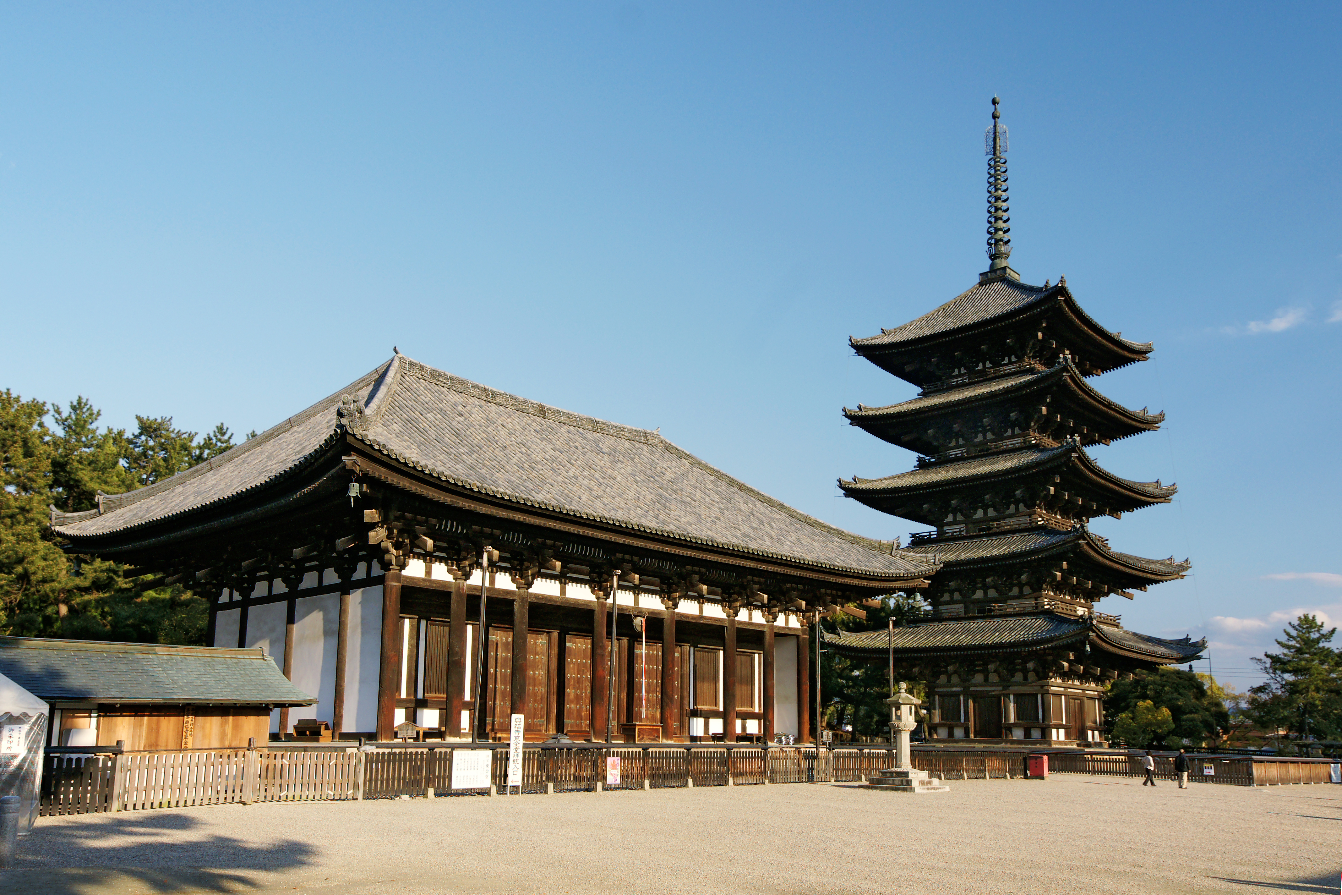
is a prefecture of Japan located in the Kansai region of Honshu. Nara Prefecture has a population of 1,321,805 and has a geographic area of . Nara Prefecture borders Kyoto Prefecture to the north, Osaka Prefecture to the northwest, Wakayama Prefecture to the southwest, and Mie Prefecture to the east. Nara is the capital and largest city of Nara Prefecture, with other major cities including Kashihara, Ikoma, and Yamatokōriyama. Nara Prefecture is located in the center of the Kii Peninsula on Japan's Pacific Ocean coast, and is one of only eight landlocked prefectures. Nara Prefecture has the distinction of having more UNESCO World Heritage listings than any other prefecture in Japan. History Nara Prefecture region is considered one of the oldest regions in Japan, having been in existence for thousands of years, and is widely viewed as the Japanese cradle of civilization. Like Kyoto, Nara was one of Imperial Japan's earliest capital cities. The current form of Nara Prefec ... [...More Info...] [...Related Items...] OR: [Wikipedia] [Google] [Baidu] |
Hyōgo Prefecture
is a prefecture of Japan located in the Kansai region of Honshu. Hyōgo Prefecture has a population of 5,469,762 () and has a geographic area of . Hyōgo Prefecture borders Kyoto Prefecture to the east, Osaka Prefecture to the southeast, and Okayama Prefecture and Tottori Prefecture to the west. Kōbe is the capital and largest city of Hyōgo Prefecture, and the seventh-largest city in Japan, with other major cities including Himeji, Nishinomiya, and Amagasaki. Hyōgo Prefecture's mainland stretches from the Sea of Japan to the Seto Inland Sea, where Awaji Island and a small archipelago of islands belonging to the prefecture are located. Hyōgo Prefecture is a major economic center, transportation hub, and tourist destination in western Japan, with 20% of the prefecture's land area designated as Natural Parks. Hyōgo Prefecture forms part of the Keihanshin metropolitan area, the second-most-populated urban region in Japan after the Greater Tokyo area and one of the w ... [...More Info...] [...Related Items...] OR: [Wikipedia] [Google] [Baidu] |
Osaka Prefecture
is a Prefectures of Japan, prefecture of Japan located in the Kansai region of Honshu. Osaka Prefecture has a population of 8,778,035 () and has a geographic area of . Osaka Prefecture borders Hyōgo Prefecture to the northwest, Kyoto Prefecture to the north, Nara Prefecture to the southeast, and Wakayama Prefecture to the south. Osaka is the capital and largest city of Osaka Prefecture, and the List of cities in Japan, third-largest city in Japan, with other major cities including Sakai, Higashiōsaka, and Hirakata. Osaka Prefecture is the third-most-populous prefecture, but by geographic area the second-smallest; at it is the second-most densely populated, below only Tokyo. Osaka Prefecture is one of Japan's two "Fu (country subdivision), urban prefectures" using the designation ''fu'' (府) rather than the standard ''Prefectures of Japan#Types of prefecture, ken'' for prefectures, along with Kyoto Prefecture. Osaka Prefecture forms the center of the Keihanshin metropolitan ar ... [...More Info...] [...Related Items...] OR: [Wikipedia] [Google] [Baidu] |
Keihanshin
is a metropolitan region in the Kansai region of Japan encompassing the metropolitan areas of the cities of Kyoto in Kyoto Prefecture, Osaka in Osaka Prefecture and Kobe in Hyōgo Prefecture. The entire region has a population () of 19,302,746 over an area of .Japan Statistics Bureau - "2015 Census", retrieved June 27, 2021 It is the second-most-populated urban region in Japan (after the ), containing approximately 15% of Japan's population. The |
Saitama (city)
is the capital and the most populous Cities of Japan, city of Saitama Prefecture, Japan. Its area incorporates the former cities of Urawa, Saitama, Urawa, Ōmiya, Saitama, Ōmiya, Yono, Saitama, Yono and Iwatsuki, Saitama, Iwatsuki. It is a Cities designated by government ordinance of Japan, city designated by government ordinance. Being in the Greater Tokyo Area and lying 15 to 30 kilometres north of central Tokyo, many of its residents commute into Tokyo. , the city had an estimated population of 1,324,854, and a population density of 6,093 people per km² (15,781 people per mi²). Its total area is . Etymology The name "Saitama" originally comes from the of what is now the city of Gyoda, Saitama, Gyōda in the northern part of what is now known as Saitama Prefecture. "Sakitama" has an ancient history and is mentioned in the famous 8th century poetry anthology ''Man'yōshū''. The pronunciation has changed from Sakitama to Saitama over the years. With the merger of Urawa, ... [...More Info...] [...Related Items...] OR: [Wikipedia] [Google] [Baidu] |
Chiba (city)
is the capital city of Chiba Prefecture, Japan. It sits about east of the centre of Tokyo on Tokyo Bay. The city became a government-designated city in 1992. In June 2019, its population was 979,768, with a population density of 3,605 people per km2. The city has an area of . Chiba City is one of the Kantō region's primary seaports, and is home to Chiba Port, which handles one of the highest volumes of cargo in Japan. Much of the city is residential, although there are many factories and warehouses along the coast. There are several major urban centres in the city, including Makuhari, a prime waterfront business district in which Makuhari Messe is located, and Central Chiba, in which the prefectural government office and the city hall are located. Chiba is famous for the Chiba Urban Monorail, the longest suspended monorail in the world. Some popular destinations in the city include: Kasori Shell Midden, the largest shellmound in the world at , Inage Beach, the first artific ... [...More Info...] [...Related Items...] OR: [Wikipedia] [Google] [Baidu] |


