Evrytania Prefecture on:
[Wikipedia]
[Google]
[Amazon]
Evrytania ( el, Ευρυτανία, ;


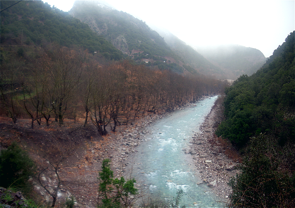
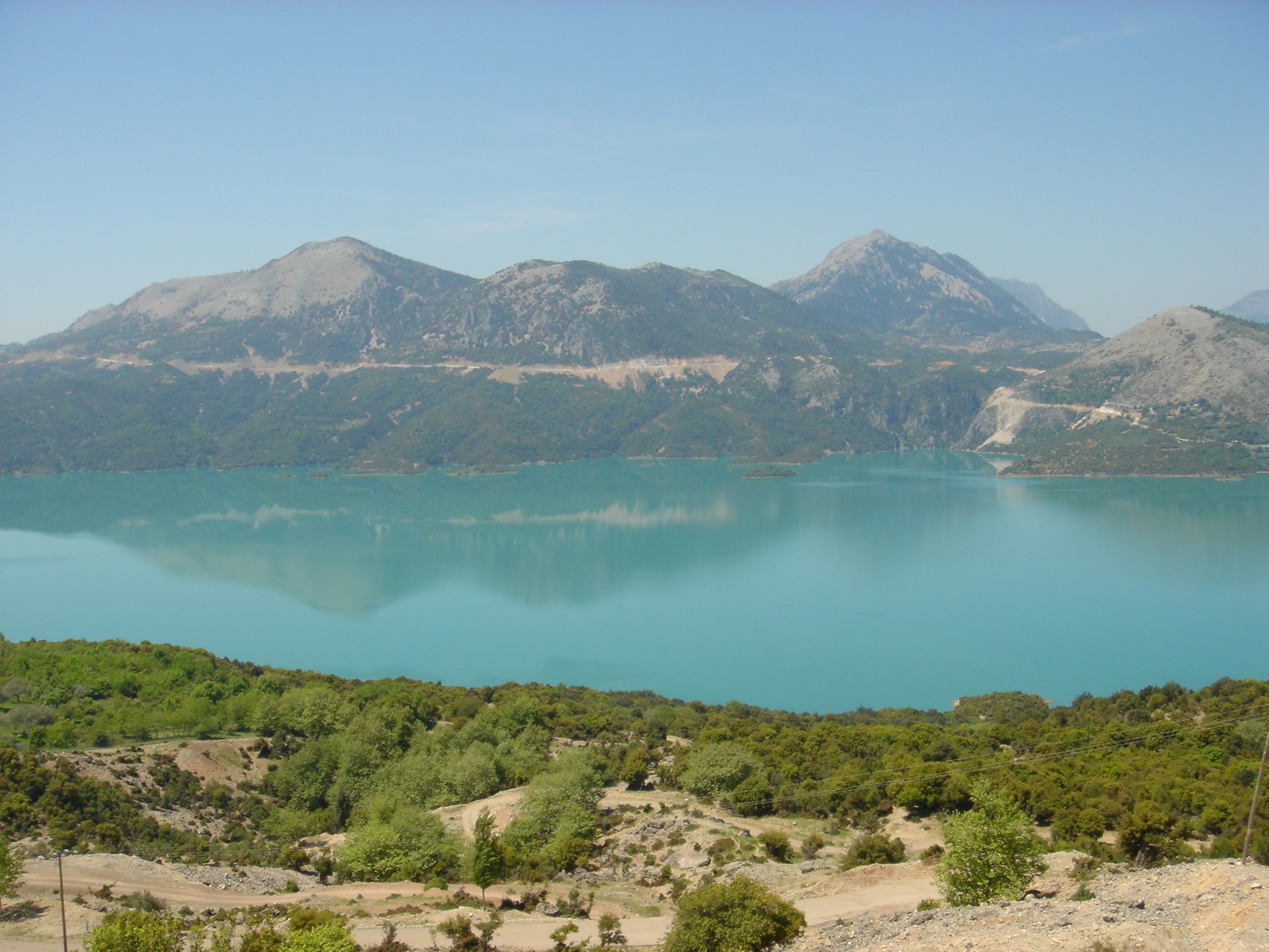
 Evrytania is almost entirely formed of mountains, including the
Dictionary of Greek and Roman Geography (1854)
/ref> ( el, Ευρυτάνες) resided in the region. In the 2nd century BC it fell into
 The regional unit Evrytania is subdivided into 2 municipalities. These are (number as in the map in the infobox):
*
www.evrytania.grEvrytania
{{Prefectures of Greece Prefectures of Greece 1899 establishments in Greece Regional units of Central Greece
Latin
Latin (, or , ) is a classical language belonging to the Italic branch of the Indo-European languages. Latin was originally a dialect spoken in the lower Tiber area (then known as Latium) around present-day Rome, but through the power of the ...
: ''Eurytania'') is one of the regional units of Greece
The 74 regional units of Greece ( el, περιφερειακές ενότητες, ; sing. , ) are the country's Seventy-four second-level Administrative divisions of Greece, administrative units. They are divisions of the country's 13 Modern reg ...
. It is part of the region
In geography, regions, otherwise referred to as zones, lands or territories, are areas that are broadly divided by physical characteristics ( physical geography), human impact characteristics ( human geography), and the interaction of humanity an ...
of Central Greece
Continental Greece ( el, Στερεά Ελλάδα, Stereá Elláda; formerly , ''Chérsos Ellás''), colloquially known as Roúmeli (Ρούμελη), is a traditional geographic region of Greece. In English, the area is usually called Central ...
. Its capital is Karpenisi
Karpenisi ( el, Καρπενήσι, ) is a town in central Greece. It is the capital of the regional unit of Evrytania. Karpenisi is situated in the valley of the river Karpenisiotis (Καρπενησιώτης), a tributary of the Megdovas, in ...
(approx. 8,000 inhabitants).
Geography


Tymfristos
Tymfristos ( el, Τυμφρηστός) is a mountain in the eastern part of Evrytania and the western part of Phthiotis, Greece. The mountain is a part of the Pindus mountain range. The elevation of its highest peak, Velouchi ( el, Βελούχι ...
and the Panaitoliko
Panaitoliko (Greek: Παναιτωλικό) is a former municipality in Aetolia-Acarnania, West Greece, Greece. Since the 2011 local government reform it is part of the municipality Agrinio
Agrinio ( Greek: Αγρίνιο, , Latin: ''Agrinium'') ...
in the south. Its rivers include the Acheloos in the west, Agrafiotis
The Agrafiotis ( el, Αγραφιώτης) is a river in Evrytania, Greece. The river takes its name from Agrafa, the mountainous region where it flows. The river begins near the village Agrafa (municipality), Trovato in the north of Evrytania. I ...
to the east, and Megdova in the east flowing down to the Ionian Sea. It is one of the least populated regional units in Greece. The area borders Aetolia-Acarnania
Aetolia-Acarnania ( el, Αιτωλοακαρνανία, ''Aitoloakarnanía'', ) is one of the regional units of Greece. It is part of the geographic region of Central Greece and the administrative region of West Greece. A combination of the histor ...
to the west, southwest and south (west over the Acheloos river), Karditsa regional unit to the north, and Phthiotis
Phthiotis ( el, Φθιώτιδα, ''Fthiótida'', ; ancient Greek and Katharevousa: Φθιῶτις) is one of the regional units of Greece. It is part of the administrative region of Central Greece. The capital is the city of Lamia. It is borde ...
to the east. Evrytania also features a famous skiing resort located near Karpenisi on the Tymfristos mountain.
Climate
Its climate is a mixture of Mediterranean and mountainous in the western portion. Much of the area receives snow in winter and is warm during the summer months.Transport
TheGreek National Road 38
National Road 38 ( el, Εθνική Οδός 38, abbreviated as EO38) is a single carriageway road in western and central Greece. It connects Thermo with Lamia, via Agrinio and Karpenisi. It passes through the regional units Aetolia-Acarnania ...
from Agrinio
Agrinio ( Greek: Αγρίνιο, , Latin: ''Agrinium'') is the largest city of the Aetolia-Acarnania regional unit of Greece and its largest municipality, with 106,053 inhabitants. It is the economical center of Aetolia-Acarnania, although its c ...
to Lamia
LaMia Corporation S.R.L., operating as LaMia (short for ''Línea Aérea Mérida Internacional de Aviación''), was a Bolivian charter airline headquartered in Santa Cruz de la Sierra, as an EcoJet subsidiary. It had its origins from the failed ...
passes through the southern part of Evrytania and the town Karpenisi
Karpenisi ( el, Καρπενήσι, ) is a town in central Greece. It is the capital of the regional unit of Evrytania. Karpenisi is situated in the valley of the river Karpenisiotis (Καρπενησιώτης), a tributary of the Megdovas, in ...
. On the border with Phthiotis
Phthiotis ( el, Φθιώτιδα, ''Fthiótida'', ; ancient Greek and Katharevousa: Φθιῶτις) is one of the regional units of Greece. It is part of the administrative region of Central Greece. The capital is the city of Lamia. It is borde ...
, the GR-38 passes through the 1.4 km-long Tymfristos Tunnel since 2004.
History
Evrytania dates to ancient times, the area was first settled around 6000 to 5000 BC. In classical antiquity, the Greek Eurytanes/ref> ( el, Ευρυτάνες) resided in the region. In the 2nd century BC it fell into
Roman
Roman or Romans most often refers to:
*Rome, the capital city of Italy
*Ancient Rome, Roman civilization from 8th century BC to 5th century AD
*Roman people, the people of ancient Rome
*'' Epistle to the Romans'', shortened to ''Romans'', a lette ...
hands, and became part of the Roman province of Macedonia. At the division of the Roman Empire in the 3rd century it joined the eastern part, which became the Byzantine Empire
The Byzantine Empire, also referred to as the Eastern Roman Empire or Byzantium, was the continuation of the Roman Empire primarily in its eastern provinces during Late Antiquity and the Middle Ages, when its capital city was Constantinopl ...
. In the aftermath of the Fourth Crusade in 1204 it became part of the Despotate of Epirus, which was conquered by the Ottoman Empire
The Ottoman Empire, * ; is an archaic version. The definite article forms and were synonymous * and el, Оθωμανική Αυτοκρατορία, Othōmanikē Avtokratoria, label=none * info page on book at Martin Luther University) ...
around 1450. Unlike other parts of Greece at the time, while the eastern and the southern parts were definitively ruled by the Ottomans, the area around Agrafa
Agrafa ( el, Άγραφα, ) is a mountainous region in Evrytania and Karditsa regional units in mainland Greece, consisting mainly of small villages. It is the southernmost part of the Pindus range. There is also a municipality with the same n ...
managed to sustain complete autonomy due to the difficulties experienced in conquest of the region. After 400 years, Evrytania finally became part of Greece
Greece,, or , romanized: ', officially the Hellenic Republic, is a country in Southeast Europe. It is situated on the southern tip of the Balkans, and is located at the crossroads of Europe, Asia, and Africa. Greece shares land borders ...
following the Greek War of Independence. As in all of Greece, the area was affected by World War II
World War II or the Second World War, often abbreviated as WWII or WW2, was a world war that lasted from 1939 to 1945. It involved the vast majority of the world's countries—including all of the great powers—forming two opposing ...
, and later the Greek Civil War
The Greek Civil War ( el, ο Eμφύλιος �όλεμος}, ''o Emfýlios'' 'Pólemos'' "the Civil War") took place from 1946 to 1949. It was mainly fought against the established Kingdom of Greece, which was supported by the United Kingdom and ...
. Peace finally returned to Evrytania at the end of the 1940s and its economy expanded, though there was significant migration from the villages to cities.
Administration
 The regional unit Evrytania is subdivided into 2 municipalities. These are (number as in the map in the infobox):
*
The regional unit Evrytania is subdivided into 2 municipalities. These are (number as in the map in the infobox):
*Agrafa
Agrafa ( el, Άγραφα, ) is a mountainous region in Evrytania and Karditsa regional units in mainland Greece, consisting mainly of small villages. It is the southernmost part of the Pindus range. There is also a municipality with the same n ...
(2)
*Karpenisi
Karpenisi ( el, Καρπενήσι, ) is a town in central Greece. It is the capital of the regional unit of Evrytania. Karpenisi is situated in the valley of the river Karpenisiotis (Καρπενησιώτης), a tributary of the Megdovas, in ...
(1)
Prefecture
Evrytania was created as a prefecture in 1947 out of theAetolia-Acarnania
Aetolia-Acarnania ( el, Αιτωλοακαρνανία, ''Aitoloakarnanía'', ) is one of the regional units of Greece. It is part of the geographic region of Central Greece and the administrative region of West Greece. A combination of the histor ...
prefecture. As a part of the 2011 Kallikratis government reform, the regional unit Evrytania was created out of the former prefecture Evrytania ( el, Νομός Ευρυτανίας). The prefecture had the same territory as the present regional unit. At the same time, the municipalities were reorganised, according to the table below.
Persons
* Pavlos Bakoyannis (1935-1989), Liberal Greek politician * Markos Giolias, artist * Demosthenis Goulas, artist * Stefanos Granitsas (1880-1915), artist, writer and journalist * Georgios Kafantaris (1873-1946), politician *Spyros Paliouras
Spyro Paliouras, or Spiro Paliouras ( el, Σπύρος Παλιούρας, 1875–1957) was a Greek writer and painter.
Biography
Born in Evrytania in 1875 Paliouras moved to Athens at a young age. He started earning his living in Athens by wo ...
(1875-1957), a Greek artist and writer
*Zacharias Papantoniou
Zacharias Papantoniou ( el, Ζαχαρίας Παπαντωνίου, ''Zacharias Papandoniou'') was a Greek writer. He was born in Karpenissi of Evrytania in February 1877 and died in Athens in 1940. He spent the first years of his life in Granit ...
(1877-1940), artist, writer and journalist
* Michael Stafylas (1920-2018), artist
* Lefteris Theodorou, painter
* Spyridon Papadimitriou, General Greek Army,
Bibliography
*''Evrytania and the History of Agios Nikolaos'' *''Evrytanes Istories'' (''Evrytanian Tales'')See also
* List of settlements in Evrytania * Evrytania (constituency)References
External links
*Prefecture of Evrytania Official Websitewww.evrytania.gr
{{Prefectures of Greece Prefectures of Greece 1899 establishments in Greece Regional units of Central Greece