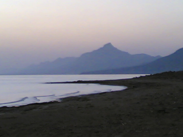
Cape Kormakitis on:
[Wikipedia]
[Google]
[Amazon]
 Cape Kormakitis ( el, Ακρωτήριο Κορμακίτη, ''Akrotírio Kormakíti'', tr, Koruçam Burnu), anciently known as Crommyon or Krommyon ( grc, Κρομμύων ἄκρα, Krommyon akra or Κρομμύου ἄκρα) and also Crommyacum or Krommyakon (Κρομμυακόν) is a promontory on the north-western coast of the
 Cape Kormakitis ( el, Ακρωτήριο Κορμακίτη, ''Akrotírio Kormakíti'', tr, Koruçam Burnu), anciently known as Crommyon or Krommyon ( grc, Κρομμύων ἄκρα, Krommyon akra or Κρομμύου ἄκρα) and also Crommyacum or Krommyakon (Κρομμυακόν) is a promontory on the north-western coast of the
 Mediterranean
The Mediterranean Sea is a sea connected to the Atlantic Ocean, surrounded by the Mediterranean Basin and almost completely enclosed by land: on the north by Western Europe, Western and Southern Europe and Anatolia, on the south by North Africa ...
island of Cyprus, located in the self-proclaimed republic of Northern Cyprus. Named after the nearby Maronite village of the same name, the cape marks the northernmost extent of Morphou Bay
Morphou Bay (, ''Kolpos Morfou''; ), is a part of the Mediterranean Sea, located on the north-western side of the island of Cyprus. It is named after the nearby inland town of Morphou (; ).
The Morphou Bay region is home to a couple of historic ...
. The nearest coastal town to Cape Kormakitis is Kyrenia
Kyrenia ( el, Κερύνεια ; tr, Girne ) is a city on the northern coast of Cyprus, noted for its historic harbour and castle. It is under the ''de facto'' control of Northern Cyprus.
While there is evidence showing that the wider region ...
. Anciently, it was opposite to Anemurium in Cilicia
Cilicia (); el, Κιλικία, ''Kilikía''; Middle Persian: ''klkyʾy'' (''Klikiyā''); Parthian: ''kylkyʾ'' (''Kilikiyā''); tr, Kilikya). is a geographical region in southern Anatolia in Turkey, extending inland from the northeastern coa ...
on what is now the Turkish mainland.
The Beşparmak Trail, a 255 km long hiking trail, starts at Cape Kormakitis, and follows the Kyrenia Mountains all the way to Cape Apostolos Andreas, the north-easternmost point on Cyprus, at the tip of the Karpaz Peninsula.
References
Kormakitis Landforms of Northern Cyprus {{Cyprus-geo-stub