ŇĆshima (Ehime) on:
[Wikipedia]
[Google]
[Amazon]
 is an inhabited island in the Geiyo Islands in the
Seto Inland Sea
The , sometimes shortened to the Inland Sea, is the body of water separating HonshŇę, Shikoku, and KyŇęshŇę, three of the four main islands of Japan. It serves as a waterway connecting the Pacific Ocean to the Sea of Japan. It connects to Osaka ...
of Japan, lying between the larger islands of HonshŇę
, historically called , is the largest and most populous island of Japan. It is located south of HokkaidŇć across the Tsugaru Strait, north of Shikoku across the Inland Sea, and northeast of KyŇęshŇę across the Kanmon Straits. The island separa ...
and Shikoku
is the smallest of the four main islands of Japan. It is long and between wide. It has a population of 3.8 million (, 3.1%). It is south of Honshu and northeast of Kyushu. Shikoku's ancient names include ''Iyo-no-futana-shima'' (), '' ...
.
Overview
ŇĆshima is located in the north of Ehime prefecture, and has an area of . Administratively, it was formerly divided between the towns of Yoshiumi and Miyakubo ofOchi District, Ehime
The is a district located in Ehime Prefecture, Japan.
As of 2004 the total population of 8,419 with a total area is 30.35 km2.
It consists of one town:
* Kamijima
History
*September 12, 1895 ‚ÄĒ The village of Yuge broke off the village of ...
; however, in January 16, 2005 both towns were absorbed into the city of Imabari
270px, Imabari City Hall
270px, Aerial view of Imabari city center
is a city in Ehime Prefecture, Japan. It is the second largest city in Ehime Prefecture. , the city had an estimated population of 152,111 in 75947 households and a population ...
. The highest elevation on the island is Mount KirŇć, at . Compared to other islands in the Geiyo Archipelago, the island with many flat areas, which has permitted the developed of rice paddy fields. Other economic activities have traditionally included the cultivation of citrus fruits, mainly mikan
''Citrus unshiu'' is a semi-seedless and easy-peeling citrus species, also known as miyagawa mandarin, unshu mikan, cold hardy mandarin, satsuma mandarin, satsuma orange, naartjie, and tangerine. ''Citrus unshiu'' was named after Unshu (Wenzho ...
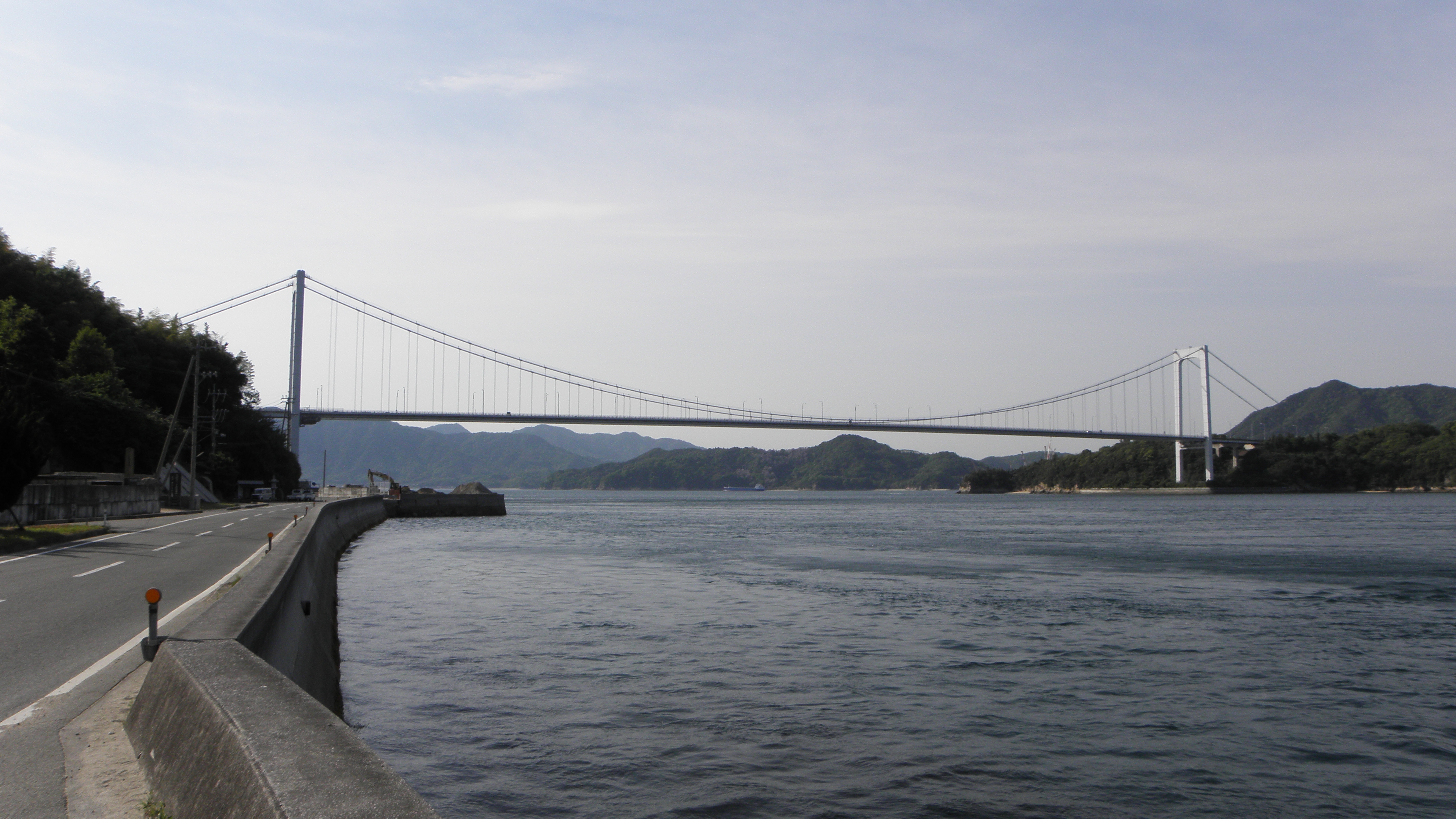
, a small shipyard and stone quarries. The island is on the Shimanami KaidŇć, an expressway
Expressway may refer to:
* Controlled-access highway, the highest-grade type of highway with access ramps, lane markings, etc., for high-speed traffic.
* Limited-access road, a lower grade of highway or arterial road.
*Expressway, the fictional s ...
between HonshŇę and Shikoku, and is linked to Hatakajima by the Hakata-ŇĆshima Bridge and Kurushima by the Kurushima-KaikyŇć Bridge. The expressway has placed the island within commuting distance of Imabari.
Islands of Ehime Prefecture
Islands of the Seto Inland Sea
Geiyo Islands
Imabari, Ehime
{{Ehime-geo-stub