Valleys of Afghanistan on:
[Wikipedia]
[Google]
[Amazon]


 As a mountainous country,


 As a mountainous country,
 Afghanistan
Afghanistan, officially the Islamic Emirate of Afghanistan,; prs, امارت اسلامی افغانستان is a landlocked country located at the crossroads of Central Asia and South Asia. Referred to as the Heart of Asia, it is bordere ...
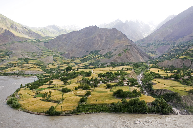
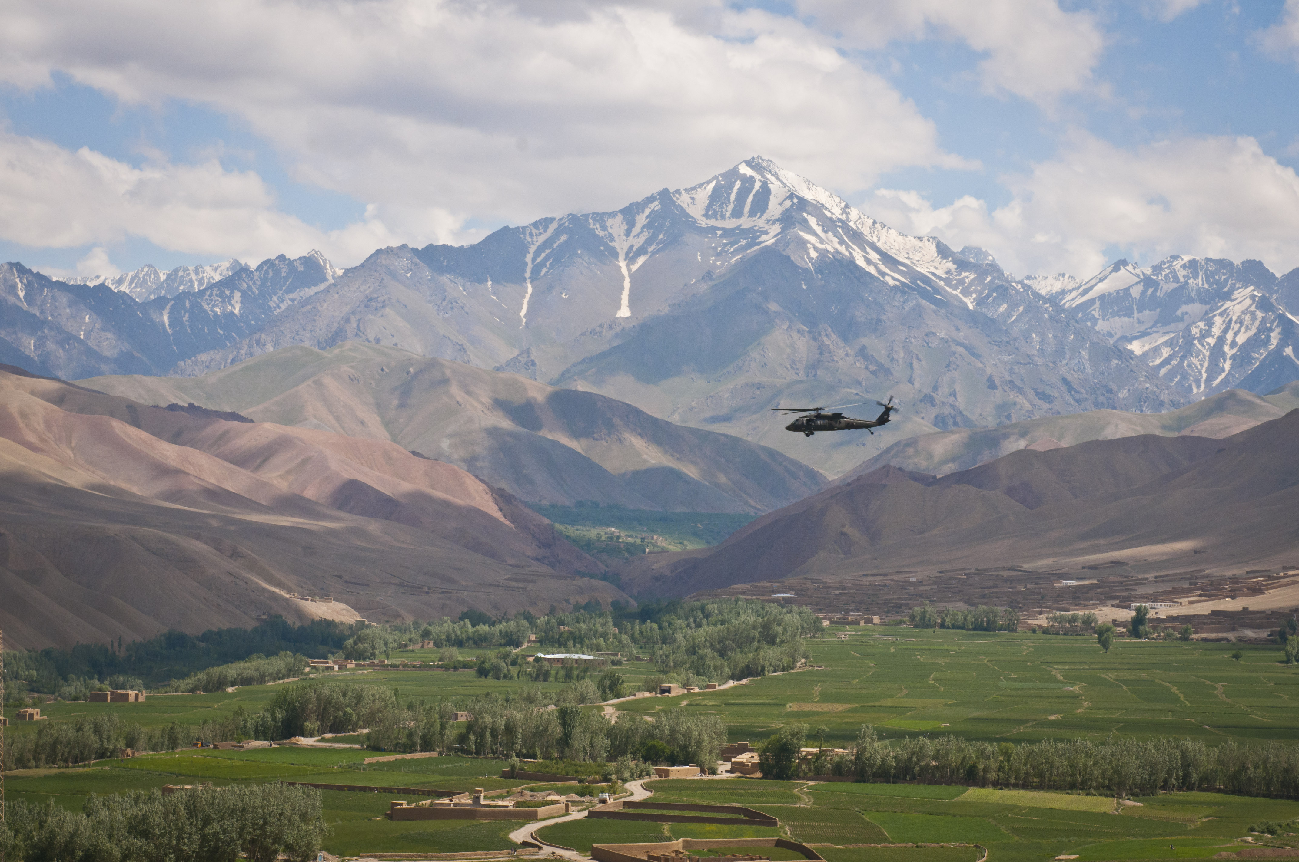
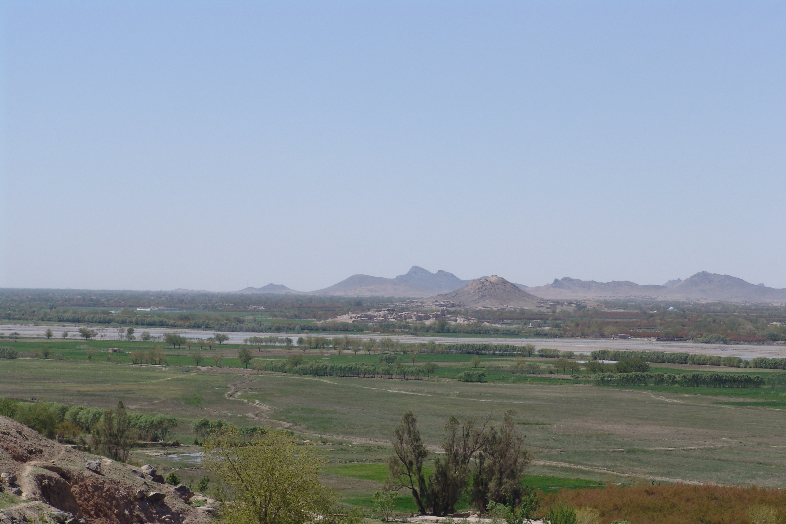
contains countless notable valley
A valley is an elongated low area often running between Hill, hills or Mountain, mountains, which will typically contain a river or stream running from one end to the other. Most valleys are formed by erosion of the land surface by rivers ...
s. The majority of the valleys are located in parts of northeastern, central, southern and southeastern Afghanistan. The southeastern areas are wetter and are covered by forest with trees such as cypress
Cypress is a common name for various coniferous trees or shrubs of northern temperate regions that belong to the family Cupressaceae. The word ''cypress'' is derived from Old French ''cipres'', which was imported from Latin ''cypressus'', the ...
, oak
An oak is a tree or shrub in the genus ''Quercus'' (; Latin "oak tree") of the beech family, Fagaceae. There are approximately 500 extant species of oaks. The common name "oak" also appears in the names of species in related genera, notably ''L ...
, poplar, pine
A pine is any conifer tree or shrub in the genus ''Pinus'' () of the family Pinaceae. ''Pinus'' is the sole genus in the subfamily Pinoideae. The World Flora Online created by the Royal Botanic Gardens, Kew and Missouri Botanical Garden accep ...
etc.
Northern Hindu Kush mountain valleys
Wakhan valleys include Sheghnan, Ashava, Darwaz, Drayem, Arsj, Hnjab, Farkhar, Ishkamish District valley, Khost i Fereng, Samandan, Andrab, Khenjan, Tala wa Barfak.Southern Hindu Kush valleys
Panj Valley, Korm, PanjdarhNijrab
Nijrāb (Pashto/Persian: نجراب) is a city with five valleys in Kapisa Province, Afghanistan
Afghanistan, officially the Islamic Emirate of Afghanistan,; prs, امارت اسلامی افغانستان is a landlocked country loca ...
, Bandavol, Eshpi, Shishil, Kepchaq, Chardeh, Sayghan, Kahmard, Salang, Darzab, Panjshir, Ghorband District
Ghorband District ( fa, ولسوالی غوربند), also known as Syagird District after its main town, is a district of Parwan Province, Afghanistan. Ghorband is located in the southern foothills of Hindu Kush and forms the western boundary of ...
, Surobi, etc.
Koh-i-Baba mountain valleys
Koh-i-Baba is located in central Afghanistan and contains the valleys of Koladi,Bamiyan
Bamyan or Bamyan Valley (); ( prs, بامیان) also spelled Bamiyan or Bamian is the capital of Bamyan Province in central Afghanistan. Its population of approximately 70,000 people makes it the largest city in Hazarajat. Bamyan is at an alti ...
, Kakrak, Turkman and others.
Safēd Kōh mountain valleys
Valleys includeKhyber Pass
The Khyber Pass (خیبر درہ) is a mountain pass in the Khyber Pakhtunkhwa province of Pakistan, on the border with the Nangarhar Province of Afghanistan. It connects the town of Landi Kotal to the Valley of Peshawar at Jamrud by traversing pa ...
, Nazyan District
Nazyan (Pashto: نازيان) ( fa, ولسوالی نازیان) is a district in the south-east of Nangarhar Province, Afghanistan. Its population, which is 100% Pashtun
Pashtuns (, , ; ps, پښتانه, ), also known as Pakhtuns or Pa ...
, Shinwar District
Shinwar ( ps, شينوار ولسوالۍ, fa, ولسوالی شینوار) is a district in Nangarhar Province, Afghanistan. It is on the main highway from Jalalabad to the Torkham border crossing. Its population, which is 100% Pashtun, was est ...
, Achen, Zarmast, Jajy, Khogyani, Kjah, Nakrokhil, Shtowa, Eshyak Hesarak, Ghelzai, Tezhin, Sarobi, Musaly, Sarkhak, Altimur, Charkh Kharwar District Kharwar District ( ps, خروار ولسوالۍ) is a district of Logar Province, Afghanistan. It was created from Charkh District.
The district, is named after the village of Kharwar (Khawrakay), which is about 56 miles (90 kilometers) south of K ...
, Tangi Wardak, Shnz, Nawagi, Gelga Ghazni, Sholgar, Abband, Dalah, Azkhowah, Teraa, Rqiban, Hassan Khel, Mchal Ghor, Shimal, Nikah, Berkoti etc.
Paghman and central/southern valleys
Paghman District
Paghman District is in the western part of Kabul Province, Afghanistan. It has a population of over 120,000 people (2002 official UNHCR est.).
Paghman district borders Wardak and Parwan provinces to the west, Shakardara District to the north, Ka ...
Mountains are a branch of the Hindu Kush
The Hindu Kush is an mountain range in Central and South Asia to the west of the Himalayas. It stretches from central and western Afghanistan, Quote: "The Hindu Kush mountains run along the Afghan border with the North-West Frontier Provinc ...
mountains, which formed numerous valleys. Valleys include Parsa, Behisood, Nahur, Malistan, Ghab, Daykundi
Daykundi ( prs, دایکندی) also spelled as Daikundi, Daykondi, Daikondi or Dai Kundi, is one of the thirty-four provinces of Afghanistan, located in the central part of the country. It has a population of about 516,504, and is a Hazara Pro ...
, Yakawolang, Daizangy, Jaghori, Ajersitan etc. There are many valleys located in the eastern and southern parts of this mountain range such as Shakardara, Gul, Estalf, Gaza, Paghman
Paghman (Persian/Pashto: پغمان) is a town in the hills near Afghanistan's capital of Kabul. It is the seat of the Paghman District (in the western part of Kabul Province) which has a population of about 120,000 (2002 official UNHCR est.), ma ...
, Pshahi, Jalriz, Nirkh, Bec Samand, Dayimurad, Khowat, Qyāq, Gulbawri, Kakrak, Torgan, Shaki, Zarsang, Qarabagh, Zard ålu, Tamaki, Rasana, Arghandab, Gizab and others.
Other notable valleys
Other notable valleys include Korengal Valley inKunar Province
Kunar (Pashto: ; Dari: ) is one of the 34 provinces of Afghanistan, located in the northeastern part of the country. Its capital is Asadabad. Its population is estimated to be 508,224. Kunar's major political groups include Wahhabis or Ahl-e- Ha ...
; Dara-I-Pech in Nangarhar Province; Deravod and Sangin in Helmand Province
Helmand (Pashto/Dari: ; ), also known as Hillmand, in ancient times, as Hermand and Hethumand, is one of the 34 provinces of Afghanistan
Afghanistan is divided into 34 provinces (, '' wilåyat''). The provinces of Afghanistan are the primar ...
; Darah sof in Samangan Province
Samangan (Dari: ; Pashto: ) is one of the thirty-four provinces of Afghanistan, located north of the Hindu Kush mountains in the central part of the country. The province covers and is surrounded by Sar-e Pol Province in the west, Balkh in the ...
; Kayhan valley in Baghlan Province; and Charkent in Balkh Province
Balkh (Dari: , ''Balx'') is one of the 34 provinces of Afghanistan, located in the north of the country. It is divided into 15 districts and has a population of about 1,509,183, which is multi-ethnic and mostly a Persian-speaking society. The c ...
.
See also
*Districts of Afghanistan
The districts of Afghanistan, known as ''wuleswali'' ( ps, ولسوالۍ, ''wuləswāləi''; fa, شهرستان, ''shahrestān'') are secondary-level administrative units, one level below provinces. The Afghan government issued its first d ...
*Geography of Afghanistan
Afghanistan is a landlocked mountainous country located on the Iranian Plateau, at the crossroads of Central Asia and South Asia.*
*
*
*
*
* The country is the 40th largest in the world in size. Kabul is the capital and largest city of Afgh ...
References
{{DEFAULTSORT:Valleys Of Afghanistan Lists of landforms of Afghanistan