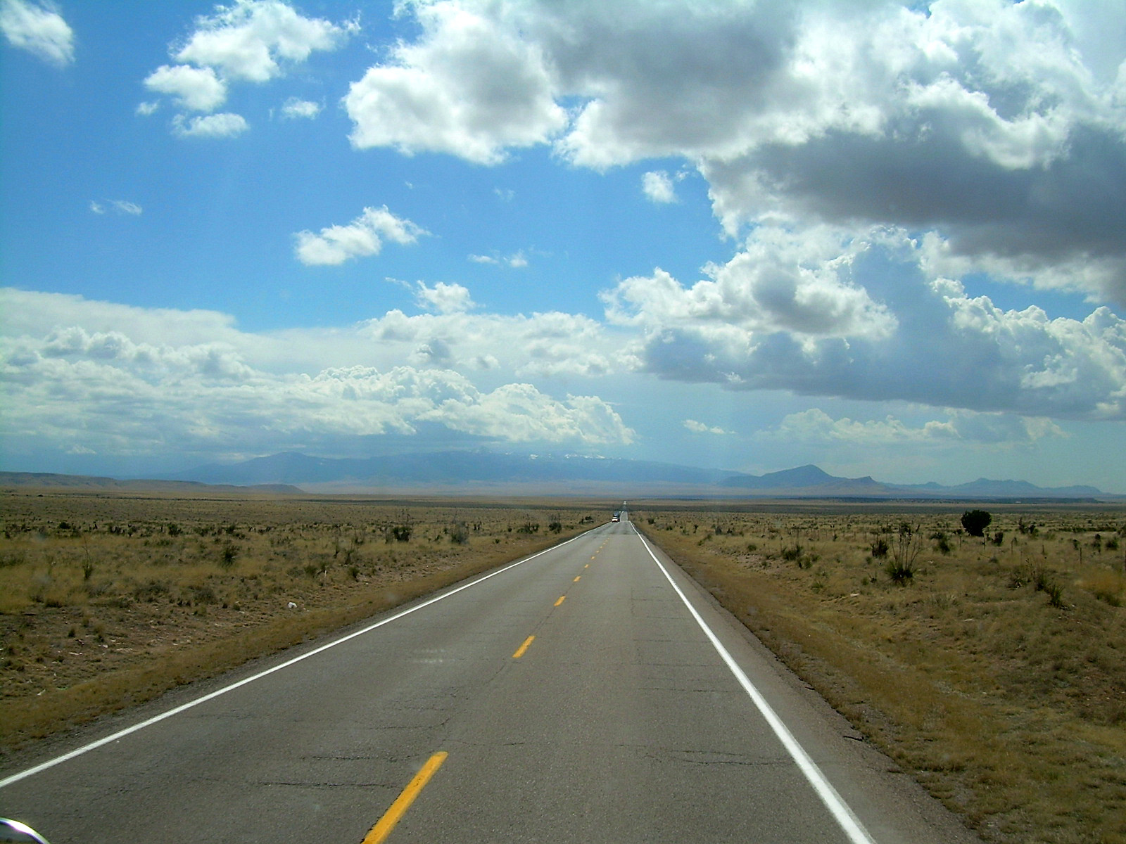
U.S. Route 54 in New Mexico on:
[Wikipedia]
[Google]
[Amazon]
U.S. Route 54 (US 54) is a part of the


U.S. Highway System
The United States Numbered Highway System (often called U.S. Routes or U.S. Highways) is an integrated network of roads and highways numbered within a nationwide grid in the contiguous United States. As the designation and numbering of these h ...
that travels from Griggsville, Illinois
Griggsville is a city in Pike County, Illinois, United States. The population was 1,226 at the 2010 census.
Geography
The community is in northeast Pike County approximately four miles west of the Illinois River. Pittsfield lies about seven miles ...
, to El Paso, Texas
El Paso (; "the pass") is a city in and the county seat, seat of El Paso County, Texas, El Paso County in the western corner of the U.S. state of Texas. The 2020 population of the city from the United States Census Bureau, U.S. Census Bureau w ...
. In the U.S. state of New Mexico
)
, population_demonym = New Mexican ( es, Neomexicano, Neomejicano, Nuevo Mexicano)
, seat = Santa Fe
, LargestCity = Albuquerque
, LargestMetro = Tiguex
, OfficialLang = None
, Languages = English, Spanish ( New Mexican), Navajo, Ker ...
, US 54 extends from the Texas
Texas (, ; Spanish language, Spanish: ''Texas'', ''Tejas'') is a state in the South Central United States, South Central region of the United States. At 268,596 square miles (695,662 km2), and with more than 29.1 million residents in 2 ...
state line by Chaparral, New Mexico, and ends at the Texas state line by Nara Visa, New Mexico. The highway runs for in New Mexico. Nationally an east–west route but is signed as a north–south route through the state.
Route description
US 54 entersNew Mexico
)
, population_demonym = New Mexican ( es, Neomexicano, Neomejicano, Nuevo Mexicano)
, seat = Santa Fe
, LargestCity = Albuquerque
, LargestMetro = Tiguex
, OfficialLang = None
, Languages = English, Spanish ( New Mexican), Navajo, Ker ...
in Chaparral
Chaparral ( ) is a shrubland plant community and geographical feature found primarily in the U.S. state of California, in southern Oregon, and in the northern portion of the Baja California Peninsula in Mexico. It is shaped by a Mediterranean c ...
as part of the El Paso, Texas
El Paso (; "the pass") is a city in and the county seat, seat of El Paso County, Texas, El Paso County in the western corner of the U.S. state of Texas. The 2020 population of the city from the United States Census Bureau, U.S. Census Bureau w ...
metro area network. It also serves as a military highway to connect Fort Bliss
Fort Bliss is a United States Army post in New Mexico and Texas, with its headquarters in El Paso, Texas. Named in honor of William Wallace Smith Bliss, LTC William Bliss (1815–1853), a mathematics professor who was the son-in-law of President ...
in El Paso to Holloman Air Force Base
Holloman Air Force Base is a United States Air Force base established in 1942 located six miles (10 km) southwest of the central business district of Alamogordo, and a census-designated place in Otero County, New Mexico, United States. Th ...
in Alamogordo, New Mexico
Alamogordo () is the seat of Otero County, New Mexico, United States. A city in the Tularosa Basin of the Chihuahuan Desert, it is bordered on the east by the Sacramento Mountains and to the west by Holloman Air Force Base. The population was ...
, (via US 70). The speed limit is 75 mph on the divided highway section upon entering the state to approximately south of Alamogordo, with a 35 mph zone in Orogrande. Upon entering Alamogordo, US 54 becomes concurrent with US 70. US 54/US 70 then intersects the beginning of US 82 at the north end of Alamogordo (near La Luz). The limit is 60 mph from Alamogordo to Tularosa and 55 mph north of Tularosa, where the concurrency with US 70 ends, and the highway reverts to being two lanes wide and not divided. The highway runs north through the central portion of the state, passing through Carrizozo and intersecting US 380. The route then turns northeast before passing through Vaughn. Upon entering Vaughn, the route is briefly concurrent with US 60 and US 285. In Vaughn, US 285 splits off to the south. Exiting Vaughn, US 60 splits off to the southeast, and the route continues northeast to Santa Rosa
Santa Rosa is the Italian, Portuguese and Spanish name for Saint Rose.
Santa Rosa may also refer to:
Places Argentina
*Santa Rosa, Mendoza, a city
* Santa Rosa, Tinogasta, Catamarca
* Santa Rosa, Valle Viejo, Catamarca
* Santa Rosa, La Pampa
* S ...
where it becomes concurrent with Interstate 40
Interstate 40 (I-40) is a major east–west Interstate Highway running through the south-central portion of the United States. At a length of , it is the third-longest Interstate Highway in the country, after I-90 and I-80. From west to ea ...
. The I-40 concurrency lasts for to Tucumcari
Tucumcari (; ) is a city in and the county seat of Quay County, New Mexico, United States. The population was 5,278 at the 2020 census. Tucumcari was founded in 1901, two years before Quay County was established.
History
In 1901, the Chicago, ...
. The highway then exits the state back into Texas
Texas (, ; Spanish language, Spanish: ''Texas'', ''Tejas'') is a state in the South Central United States, South Central region of the United States. At 268,596 square miles (695,662 km2), and with more than 29.1 million residents in 2 ...
at Nara Visa.

Major intersections
References
{{state detail page browse, type=US, route=54, statebefore=Texas, state=New Mexico, stateafter=Texas Transportation in Otero County, New Mexico Transportation in Lincoln County, New Mexico Transportation in Torrance County, New Mexico Transportation in Guadalupe County, New Mexico Transportation in Quay County, New Mexico New Mexico 54