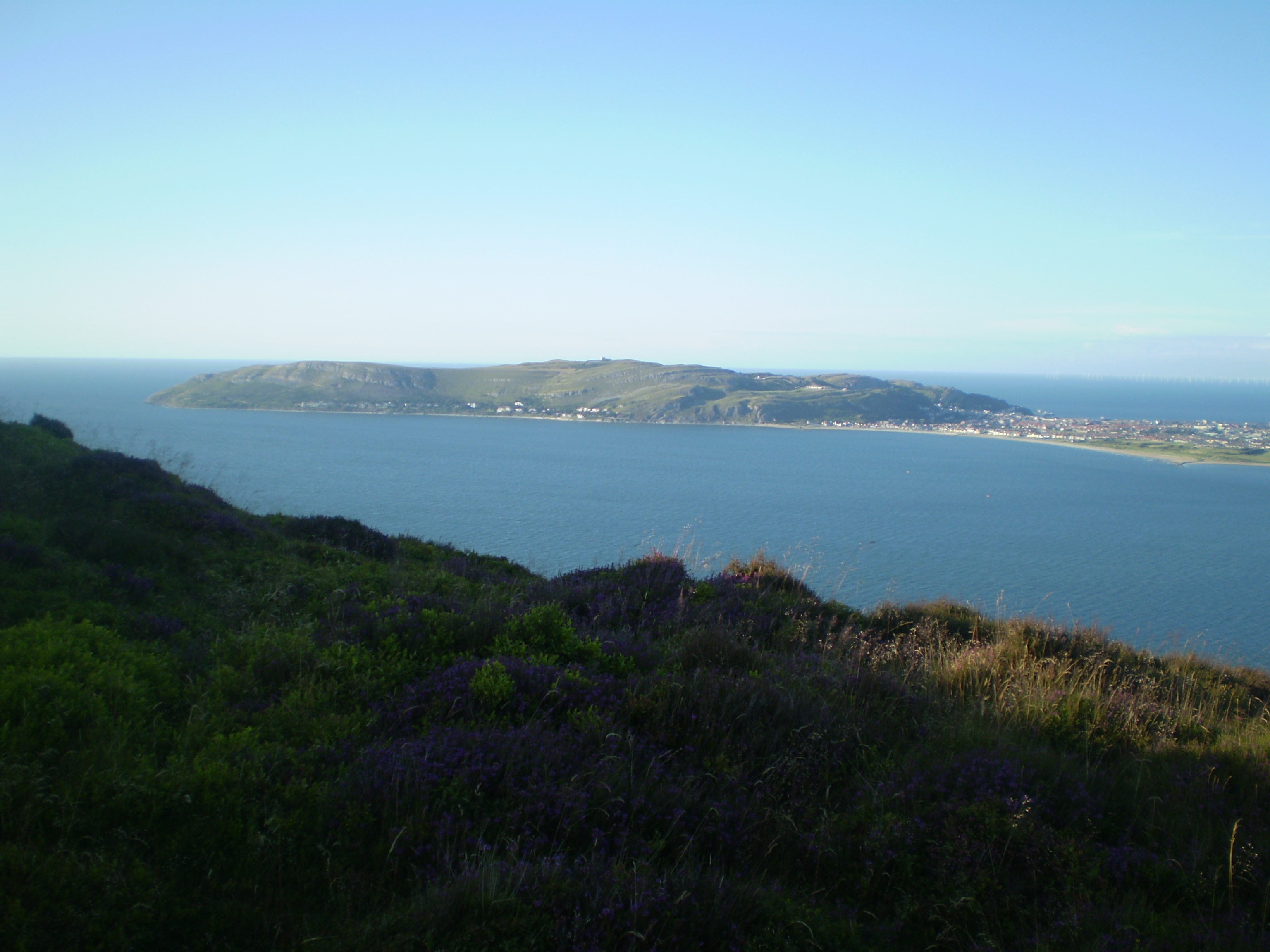
Sychnant Pass on:
[Wikipedia]
[Google]
[Amazon]

 Sychnant Pass (
Conwy's secret - the Sychnant Pass
{{coord, 53.2750, -3.8800, type:pass_region:GB, display=title Conwy Penmaenmawr Mountain passes of Conwy County Borough Mountain passes of Snowdonia Roads in Conwy County Borough Roads in Snowdonia Sites of Special Scientific Interest in East Gwynedd
 Sychnant Pass (
Welsh
Welsh may refer to:
Related to Wales
* Welsh, referring or related to Wales
* Welsh language, a Brittonic Celtic language spoken in Wales
* Welsh people
People
* Welsh (surname)
* Sometimes used as a synonym for the ancient Britons (Celtic peopl ...
: ''Bwlch Sychnant'', "Dry-stream Pass") in Conwy County Borough
Conwy County Borough ( cy, Bwrdeistref Sirol Conwy) is a county borough in Wales. It borders Gwynedd to the west and south, and Denbighshire to the east. Other settlements in the county borough include Abergele, Betws-y-Coed, Colwyn Bay, Con ...
, Wales
Wales ( cy, Cymru ) is a Countries of the United Kingdom, country that is part of the United Kingdom. It is bordered by England to the Wales–England border, east, the Irish Sea to the north and west, the Celtic Sea to the south west and the ...
, links Conwy
Conwy (, ), previously known in English as Conway, is a walled market town, community and the administrative centre of Conwy County Borough in North Wales. The walled town and castle stand on the west bank of the River Conwy, facing Deganwy o ...
to Penmaenmawr
Penmaenmawr (, ) is a town and community (Wales), community in Conwy County Borough, Wales, which was formerly in the parish of Dwygyfylchi and the traditional county of Caernarfonshire. It is on the North Wales coast between Conwy and Llanfair ...
via Dwygyfylchi. Much of the pass is in Snowdonia National Park
Snowdonia or Eryri (), is a mountainous region in northwestern Wales and a national park of in area. It was the first to be designated of the three national parks in Wales, in 1951.
Name and extent
It was a commonly held belief that the nam ...
, and a large area of land within it has been designated a Site of Special Scientific Interest.
At the bottom is the village of Capelulo, which lends its name to the community
A community is a social unit (a group of living things) with commonality such as place, norms, religion, values, customs, or identity. Communities may share a sense of place situated in a given geographical area (e.g. a country, villag ...
of Penmaenmawr
Penmaenmawr (, ) is a town and community (Wales), community in Conwy County Borough, Wales, which was formerly in the parish of Dwygyfylchi and the traditional county of Caernarfonshire. It is on the North Wales coast between Conwy and Llanfair ...
.
Before the coming of the railway to the North Wales
North Wales ( cy, Gogledd Cymru) is a region of Wales, encompassing its northernmost areas. It borders Mid Wales to the south, England to the east, and the Irish Sea to the north and west. The area is highly mountainous and rural, with Snowdonia N ...
coast, the road through Sychnant Pass was the route of choice for mail coaches at high tide, when the faster and safer route along the sands was unusable. After leaving Conwy, the route runs westward through the valley on the south side of Mynydd y Dref (Conwy Mountain), which is topped by the hillfort
A hillfort is a type of earthwork used as a fortified refuge or defended settlement, located to exploit a rise in elevation for defensive advantage. They are typically European and of the Bronze Age or Iron Age. Some were used in the post- Rom ...
of Castell Caer Seion. There are parallel tracks and footpaths (including the North Wales Path) on Mynydd y Dref for most of the way.
Also Allt-Wen () and Penmaenbach () can be climbed from here.
At the western end of the valley, the Sychnant Pass Road runs between the stone walls of the Pensychnant estate and through a narrow gap in the surrounding hills before descending steeply to the valley floor at Capelulo, reputedly the site of an early medieval chapel
A chapel is a Christian place of prayer and worship that is usually relatively small. The term has several meanings. Firstly, smaller spaces inside a church that have their own altar are often called chapels; the Lady chapel is a common typ ...
of Saint Ulo. Here there are two inns, a restaurant and a bistro, and in the ravine behind the inns is Nant Ddaear-y-llwynog (the Fairy Glen), a Victorian nature trail. From Capelulo it is an easy walk or short drive to the coast at Penmaenmawr.
External links
Conwy's secret - the Sychnant Pass
{{coord, 53.2750, -3.8800, type:pass_region:GB, display=title Conwy Penmaenmawr Mountain passes of Conwy County Borough Mountain passes of Snowdonia Roads in Conwy County Borough Roads in Snowdonia Sites of Special Scientific Interest in East Gwynedd