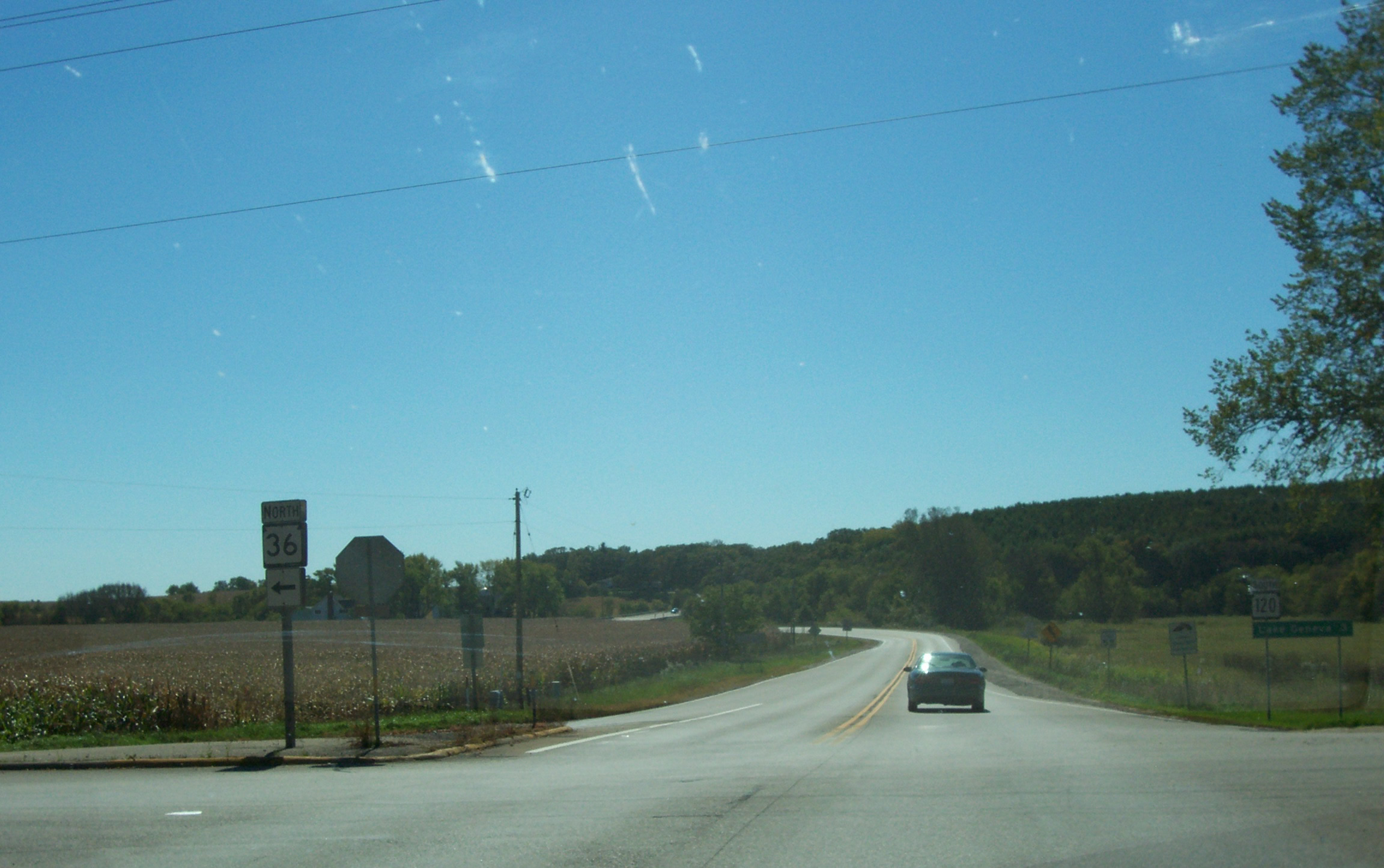
Springfield, Walworth County, Wisconsin on:
[Wikipedia]
[Google]
[Amazon]
Springfield is an
 Springfield was a stop on the Racine & Southwestern branch line of the
 Springfield Railroad History and Photos
/ref> The former train depot now serves as a cafe and rest spot for users of the
unincorporated community
An unincorporated area is a region that is not governed by a local municipal corporation. Widespread unincorporated communities and areas are a distinguishing feature of the United States and Canada. Most other countries of the world either hav ...
and census-designated place
A census-designated place (CDP) is a concentration of population defined by the United States Census Bureau for statistical purposes only.
CDPs have been used in each decennial census since 1980 as the counterparts of incorporated places, su ...
in the town
A town is a human settlement. Towns are generally larger than villages and smaller than city, cities, though the criteria to distinguish between them vary considerably in different parts of the world.
Origin and use
The word "town" shares ...
of Lyons, in Walworth County, Wisconsin
Wisconsin () is a state in the upper Midwestern United States. Wisconsin is the 25th-largest state by total area and the 20th-most populous. It is bordered by Minnesota to the west, Iowa to the southwest, Illinois to the south, Lake M ...
, United States. As of the 2020 census, its population was 168. Located just northeast of Lake Geneva
, image = Lake Geneva by Sentinel-2.jpg
, caption = Satellite image
, image_bathymetry =
, caption_bathymetry =
, location = Switzerland, France
, coords =
, lake_type = Glacial la ...
, it contains a mere eight streets. Springfield has an area of , all of it land.
History
The community has a long history, dating back nearly two hundred years. Many of its early settlers are buried at nearby Union Cemetery. Some fought in theAmerican Civil War
The American Civil War (April 12, 1861 – May 26, 1865; also known by other names) was a civil war in the United States. It was fought between the Union ("the North") and the Confederacy ("the South"), the latter formed by state ...
. It was the home town of Assemblyman Thomas W. Hill
Thomas Warden Hill (January 9, 1817 - May 26, 1879) was an American farmer from Springfield, Wisconsin, who held a number of offices in local government. He served two one-year terms as a member of the Wisconsin State Assembly from Walworth C ...
.
A few homes remain from the Victorian Era
In the history of the United Kingdom and the British Empire, the Victorian era was the period of Queen Victoria's reign, from 20 June 1837 until her death on 22 January 1901. The era followed the Georgian period and preceded the Edward ...
. Some are condemned and are considered unsafe, but others have been updated or renovated.Demographics
Transportation
 Springfield was a stop on the Racine & Southwestern branch line of the
 Chicago, Milwaukee, St. Paul and Pacific Railroad
The Chicago, Milwaukee, St. Paul and Pacific Railroad (CMStP&P), often referred to as the "Milwaukee Road" , was a Class I railroad that operated in the Midwest and Northwest of the United States from 1847 until 1986.
The company experienced ...
, better known as the Milwaukee Road. In its 1980 bankruptcy, the Milwaukee Road disposed of the Southwestern Line./ref> The former train depot now serves as a cafe and rest spot for users of the
White River State Trail
The White River State Trail is a 19-mile state designated rail trail in Racine and Walworth Counties in Wisconsin.
Route
The trail follows a former rail corridor between Elkhorn, Wisconsin and Dover, Wisconsin. The trail begins at County Highwa ...
.
See also
*List of census-designated places in Wisconsin
This article lists census-designated places (CDPs) in the U.S. state of Wisconsin. As of 2018, there were a total of 176 census-designated places in Wisconsin, down from 179 in the 2010 Census. Lake Shangrila and Pell Lake were annexed by B ...
References
Census-designated places in Walworth County, Wisconsin Census-designated places in Wisconsin {{WalworthCountyWI-geo-stub