Sankala Khiri Mountain Range on:
[Wikipedia]
[Google]
[Amazon]
The Titiwangsa Mountains (

 The Titiwangsa Range is part of a suture zone that runs north-south, starting in Thailand at the Nan- Uttaradit suture zone (partly coincident with the Dien Bien Phu fault), and extending south towards Peninsular Malaysia (
 This mountain range is a part of the wider Tenasserim Hills system. It forms the southernmost section of the Indo-Malayan cordillera which runs from Tibet through the Kra Isthmus into the

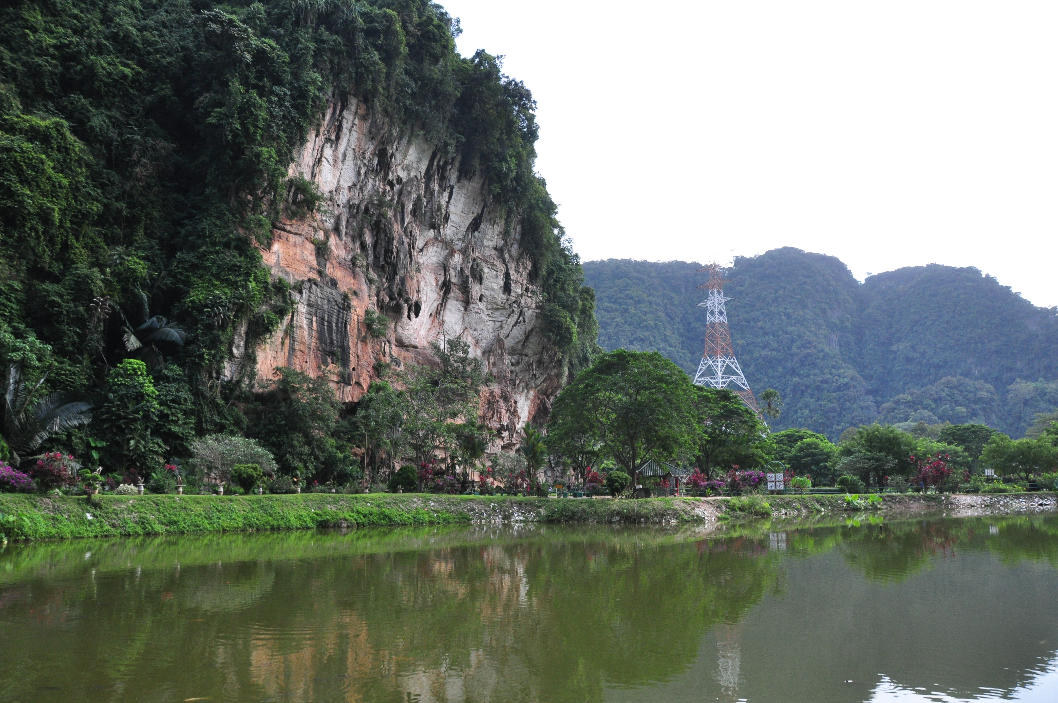
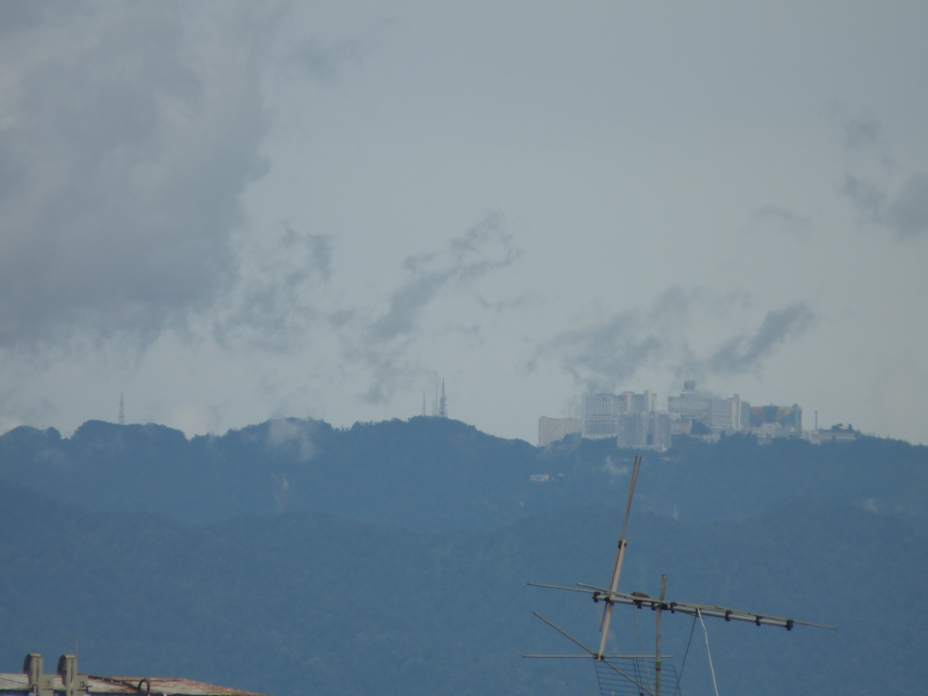
 Several popular tourist destinations such as Royal Belum, Cameron Highlands, Genting Highlands and Fraser's Hill are located on the range.
Two of Malaysia's largest metropolitan areas are located along the western fringes of the range, namely Greater Kuala Lumpur (ranked #1) and Kinta Valley (ranked #4). The Kinta Valley Geopark encompasses the entirety of Kinta Valley, where


Perak Tourism - Royal Belum State ParkGunung Stong State ParkSan Kara Khiri National ParkBudo - Su-ngai Padi National ParkNamtok Sai Khao National Park
{{Mountain ranges of Thailand Malay Peninsula Mountain ranges of Thailand Mountain ranges of Malaysia Peninsular Malaysia Southern Thailand
Malay
Malay may refer to:
Languages
* Malay language or Bahasa Melayu, a major Austronesian language spoken in Indonesia, Malaysia, Brunei and Singapore
** History of the Malay language, the Malay language from the 4th to the 14th century
** Indonesi ...
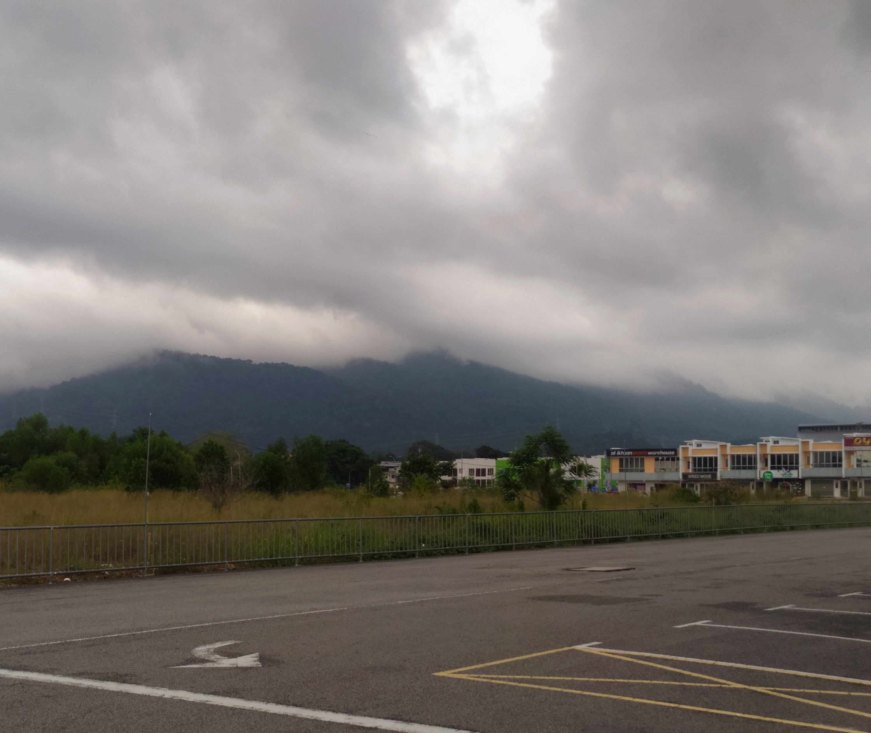
: ''Banjaran Titiwangsa,'' بنجرن تيتيوڠسا, ), also known as ''"Banjaran Besar"'' (Big Range) by locals, is the chain of mountains that forms the backbone of the Malay Peninsula
The Malay Peninsula (Malay: ''Semenanjung Tanah Melayu'') is a peninsula in Mainland Southeast Asia. The landmass runs approximately north–south, and at its terminus, it is the southernmost point of the Asian continental mainland. The area ...
.
The northern section of the range is in southern Thailand, where it is known as Sankalakhiri Range ( th, ทิวเขาสันกาลาคีรี, ).
The range acts as a natural divider, dividing Peninsular Malaysia, as well as southernmost Thailand, into east and west coast regions. It is also the source of some major rivers of Peninsular Malaysia such as the Pahang, Perak
Perak () is a state of Malaysia on the west coast of the Malay Peninsula. Perak has land borders with the Malaysian states of Kedah to the north, Penang to the northwest, Kelantan and Pahang to the east, and Selangor to the south. Thailand's ...
, Kelantan, Klang and Muar. The length of mountain range is about 480 km from north to south.
Geology

 The Titiwangsa Range is part of a suture zone that runs north-south, starting in Thailand at the Nan- Uttaradit suture zone (partly coincident with the Dien Bien Phu fault), and extending south towards Peninsular Malaysia (
Bentong
Bentong (Jawi alphabet, Jawi: ﺑﻨﺘﻮڠ), the seat of Bentong District, is a town located in western Pahang, Malaysia, at the border with the state of Selangor in the west and the state of Negeri Sembilan in the south.
Government
Benton ...
- Raub suture zone). The western half of the Titiwangsa Mountains in Peninsular Malaysia is an amalgamation of continental terranes known as Cimmeria or Indochina, whereas the eastern half is an amalgamation of continental terranes Sinoburmalaya or Sibumasu. These two halves of terranes were separated by the Paleo-Tethys Ocean.
The Cimmeria was separated from Gondwana
Gondwana () was a large landmass, often referred to as a supercontinent, that formed during the late Neoproterozoic (about 550 million years ago) and began to break up during the Jurassic period (about 180 million years ago). The final stages ...
around 400 mya
Mya may refer to:
Brands and product names
* Mya (program), an intelligent personal assistant created by Motorola
* Mya (TV channel), an Italian Television channel
* Midwest Young Artists, a comprehensive youth music program
Codes
* Burmese ...
during the Devonian
The Devonian ( ) is a geologic period and system of the Paleozoic era, spanning 60.3 million years from the end of the Silurian, million years ago (Mya), to the beginning of the Carboniferous, Mya. It is named after Devon, England, whe ...
and rifted towards Laurasia, the northeastern arm of Pangea. It attached to Laurasia completely around 280 mya during the Late Permian.
Sibumasu terranes on the other hand, only started to separate from Gondwana during the Early Permian 01 or '01 may refer to:
* The year 2001, or any year ending with 01
* The month of January
* 1 (number)
Music
* '01 (Richard Müller album), 01'' (Richard Müller album), 2001
* 01 (Son of Dave album), ''01'' (Son of Dave album), 2000
* 01 (Urban ...
and rifted towards Indochina. The collision of Sibumasu terranes and Indochina terranes during 200mya Late Triassic resulted in the closure of the Paleo-Tethys Ocean and formation of the modern Titiwangsa Mountain belts.
Geography
 This mountain range is a part of the wider Tenasserim Hills system. It forms the southernmost section of the Indo-Malayan cordillera which runs from Tibet through the Kra Isthmus into the
 Malay Peninsula
The Malay Peninsula (Malay: ''Semenanjung Tanah Melayu'') is a peninsula in Mainland Southeast Asia. The landmass runs approximately north–south, and at its terminus, it is the southernmost point of the Asian continental mainland. The area ...
.
The Titiwangsa Mountains begins in the north as the Sankalakhiri Range, a prolongation of the Nakhon Si Thammarat Range which includes the smaller Pattani, Taluban, and Songkhla sub-ranges. The Sankalakhiri marks the border between the Southern Thailand provinces of Yala in west and Narathiwat in the east. Across the border into Malaysia, the main stretch of the range runs in a northwest-southeast orientation, straddling the borders between the west coast West Coast or west coast may refer to:
Geography Australia
* Western Australia
*Regions of South Australia#Weather forecasting, West Coast of South Australia
* West Coast, Tasmania
**West Coast Range, mountain range in the region
Canada
* Britis ...
states of Perak
Perak () is a state of Malaysia on the west coast of the Malay Peninsula. Perak has land borders with the Malaysian states of Kedah to the north, Penang to the northwest, Kelantan and Pahang to the east, and Selangor to the south. Thailand's ...
and Selangor with Kelantan and Pahang on the eastern side of the peninsula. From the tripoint of Pahang, Selangor and Negeri Sembilan
Negeri Sembilan (, Negeri Sembilan Malay: ''Nogoghi Sombilan'', ''Nismilan'') is a state in Malaysia which lies on the western coast of Peninsular Malaysia. It borders Selangor on the north, Pahang in the east, and Malacca and Johor to the s ...
near Mount Nuang, it then transverses through the middle of the state of Negeri Sembilan, also a west coast state, thus dividing the state into two regions - western Negeri Sembilan, which consists of Seremban, Port Dickson and Rembau Districts, and eastern Negeri Sembilan, composed of the districts of Jelebu, Kuala Pilah, Jempol and Tampin - and ends in the south near Tampin, in the southern part of the state. Foothills extend further southeastwards into Melaka and Johor with its terminus at Mount Pulai.
The highest elevation is 2,183 m (7,162 ft) Gunung Korbu
Mount Korbu () is a mountain in Hulu Kinta, Perak, Malaysia, about 25 km from Ipoh. It is the highest peak in the state of Perak , located on the Titiwangsa Mountains, the southernmost section of the Tenasserim Hills.
Mount Korbu is also th ...
. On the Thai side the highest point is 1,533 m Ulu Titi Basah
Ulu Titi Basah ( th, เขาฮูลูติติปาซา; ms, Gunung Ulu Titi Basah) is the southernmost high peak of Thailand. This 1,533 m high peak is located on the Malaysia-Thailand border between Betong District of Yala Provinc ...
(ยูลูติติ บาซาห์), at the Thai/Malaysian border between Yala Province and Perak
Perak () is a state of Malaysia on the west coast of the Malay Peninsula. Perak has land borders with the Malaysian states of Kedah to the north, Penang to the northwest, Kelantan and Pahang to the east, and Selangor to the south. Thailand's ...
. In the southern foothills, the highest is 1,276 m Mount Ledang.
Features

kegelkarst
Karst is a topography formed from the dissolution of soluble rocks such as limestone, dolomite, and gypsum. It is characterized by underground drainage systems with sinkholes and caves. It has also been documented for more weathering-resistant ro ...
topography is prevalent.
A number of roads cut through the Titiwangsa Forest Complex The Titiwangsa Forest Complex runs along the Titiwangsa Mountains (''Banjaran Titiwangsa'') and forms part of the Central Forest Spine of Peninsular Malaysia.
Patches and Roads
The Titiwangsa Forest Complex comprises the following patches whic ...
within the larger Central Forest Spine (CFS) conservation area.
Protected areas
Thailand
* San Kala Khiri National Park *Budo - Su-ngai Padi National Park Budo or buddo may refer to:
* Budō, a Japanese term describing Japanese martial arts
* Buddo hill
Buddo, sometimes spelled as Budo, is a hill in Wakiso District, Central Uganda. Phonetically, Buddo is the correct spelling in Luganda, the na ...
*Namtok Sai Khao National Park Nam tok ( th, น้ำตก) is a Thai and Lao word meaning waterfall. It can refer to:
*Nam Tok Railway Station, terminus of the Burma Railway
*For waterfalls in Thailand see :Waterfalls of Thailand
In Thai and Lao cuisine, the term Nam tok is ...
*Hala Bala Wildlife Sanctuary
300px, Hala-Bala Wildlife Sanctuary.
Hala-Bala Wildlife Sanctuary ( th, เขตรักษาพันธุ์สัตว์ป่าฮาลา-บาลา) is a wildlife sanctuary in Thailand, considered to be one of the richest forests ...
Malaysia
*Gunung Stong State Park ''Gunung'' (also spelled ''Gunong'') is the Malay and Indonesian word for mountain —it is regularly used in volcano (as ''Gunung Berapi'') and mountain names throughout Southeast Asia.
Mountains using the prefixes Gunung / Gunong
The follo ...
* Royal Belum State Park
* Taman Negara
* Krau Wildlife Reserve
* Kinta Valley National Geopark
Gallery


References
External links
Perak Tourism - Royal Belum State Park
{{Mountain ranges of Thailand Malay Peninsula Mountain ranges of Thailand Mountain ranges of Malaysia Peninsular Malaysia Southern Thailand