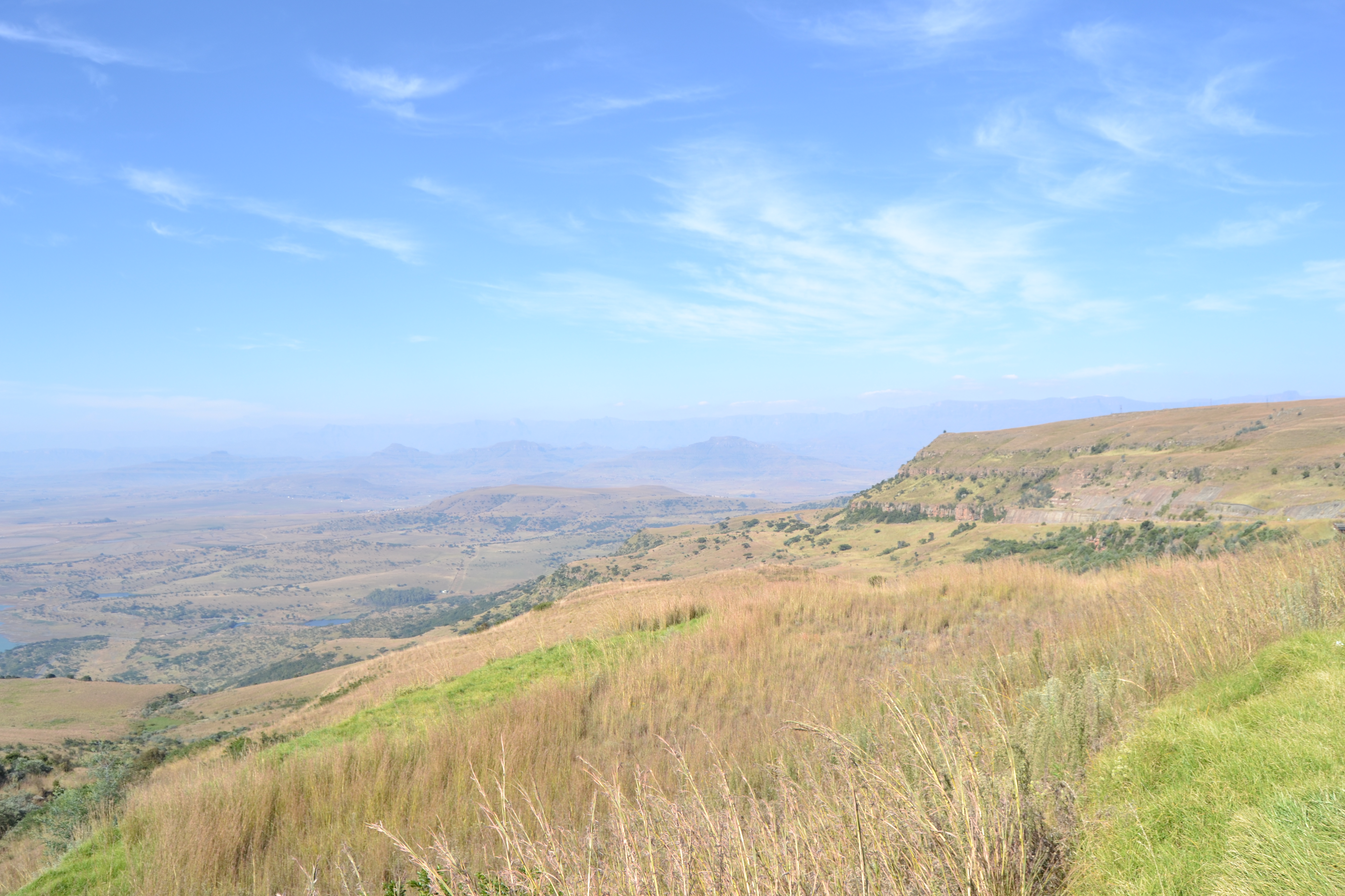
R74 Road (South Africa) on:
[Wikipedia]
[Google]
[Amazon]
The R74 is a
provincial route
A state highway, state road, or state route (and the equivalent provincial highway, provincial road, or provincial route) is usually a road that is either ''numbered'' or ''maintained'' by a sub-national state or province. A road numbered by a ...
in South Africa
South Africa, officially the Republic of South Africa (RSA), is the Southern Africa, southernmost country in Africa. It is bounded to the south by of coastline that stretch along the Atlantic Ocean, South Atlantic and Indian Oceans; to the ...
that connects Harrismith
Harrismith is a large town in the Free State province of South Africa. It was named for Sir Harry Smith, a 19th-century British governor and high commissioner of the Cape Colony. It is situated by the Wilge River, alongside the N3 highway, ab ...
with KwaDukuza
KwaDukuza is a municipality in KwaZulu-Natal, South Africa. In 2006, the municipal name was changed to KwaDukuza (which incorporates small towns such as Stanger, Balito, Shaka's Kraal, but the Zulu people in the area called it "Dukuza" well before ...
(previously Stanger) on the coast, via Oliviershoek Pass, Bergville
Bergville is a small town situated in the foothills of the Drakensberg mountains, KwaZulu-Natal, South Africa. It was established as Bergville Mountain Village in 1897 and is now the commercial centre for a 2,500 km2 dairy and cattle ranchin ...
, Winterton, Colenso, Weenen
Weenen (Dutch for "wept") is the second oldest European settlement in KwaZulu-Natal, South Africa. It is situated on the banks of the Bushman River. The farms around the town grow vegetables, lucerne, groundnuts, and citrus fruit.
History
The ...
and Greytown.
Route
The R74 begins inHarrismith
Harrismith is a large town in the Free State province of South Africa. It was named for Sir Harry Smith, a 19th-century British governor and high commissioner of the Cape Colony. It is situated by the Wilge River, alongside the N3 highway, ab ...
, Free State, at a t-junction with the N5 National Route south of the town centre. It begins by going southwards for 8 kilometres to meet the eastern terminus of the R712 road, which connects to Phuthaditjhaba
Phuthaditjhaba (formerly Witsieshoek or Qwaqwa) is a town in the Free State province of South Africa. Phuthaditjhaba is a seSotho name that means ''meeting place of the tribes''. It is located on the banks of the Elands River.KwaZulu-Natal Province, bypassing the
AA Road Condition Page
 74
74
Provincial routes in South Africa
{{SouthAfrica-road-stub
74
74
Provincial routes in South Africa
{{SouthAfrica-road-stub
Woodstock Dam
Woodstock Dam is located on the upper reaches of the Thukela River, Tugela, KwaZulu-Natal province of South Africa and is the main source of water for the Thukela-Vaal Transfer Scheme. The dam was commissioned in 1982, has a storage capacity of , a ...
, to enter the town of Bergville
Bergville is a small town situated in the foothills of the Drakensberg mountains, KwaZulu-Natal, South Africa. It was established as Bergville Mountain Village in 1897 and is now the commercial centre for a 2,500 km2 dairy and cattle ranchin ...
, where it meets the western terminus of the R616 road. Just after the Bergville town centre, the R74 crosses the Tugela River
The Tugela River ( zu, Thukela; af, Tugelarivier) is the largest river in KwaZulu-Natal Province, South Africa. With a total length of , it is one of the most important rivers of the country.
The river originates in Mont-aux-Sources of the D ...
.
From Bergville, the R74 continues south-east for 20 kilometres to meet the R600 road and enter the town of Winterton, where it crosses the Little Tugela River in the town centre. It continues south-east for 22 kilometres to reach an intersection with the N3 National Highway. It continues eastwards for 2.5 kilometres to meet the R103 road north of Frere.
The R103 joins the R74 and they are one road north-east for 15 kilometres up to an off-ramp junction in the town of Colenso, where the R74 becomes its own road eastwards. From Colenso, The R74 continues east-south-east for 93 kilometres, through Weenen
Weenen (Dutch for "wept") is the second oldest European settlement in KwaZulu-Natal, South Africa. It is situated on the banks of the Bushman River. The farms around the town grow vegetables, lucerne, groundnuts, and citrus fruit.
History
The ...
, to meet the eastern terminus of the R622 road and enter the town of Greytown. In the town centre, the R33 route joins the R74 and they are one road eastwards before the R33 becomes its own road northwards in the eastern suburbs, leaving the R74 as the road eastwards.
From Greytown, the R74 goes east-south-east for 103 kilometres to pass through KwaDukuza
KwaDukuza is a municipality in KwaZulu-Natal, South Africa. In 2006, the municipal name was changed to KwaDukuza (which incorporates small towns such as Stanger, Balito, Shaka's Kraal, but the Zulu people in the area called it "Dukuza" well before ...
Central and reach a junction with the R102 road. it continues eastwards for another 2 kilometres to reach its end at an off-ramp junction with the N2 National Route.
References
External links
AA Road Condition Page
 74
74
Provincial routes in South Africa
{{SouthAfrica-road-stub
74
74
Provincial routes in South Africa
{{SouthAfrica-road-stub