|
Provincial Route (South Africa)
Provincial routes (also referred to as major regional routes) are the second category of road in the South African route-numbering scheme. They are designated with the letter "R" followed by a number from 21 to 82, formerly with the letter "P" followed by a number from 66. They serve as feeders to the national routes and as trunk roads in areas where there is no national route. Designation as a provincial route does not necessarily imply that a road is maintained by the road authority in the provincial government; some parts of the provincial route network are maintained by the National Roads Agency (SANRAL), and parts in towns may be ordinary streets maintained by the municipal roads departments. Provincial routes vary in quality from gravel roads (for example the R31 between Askham, Northern Cape, and Hotazel) to freeways (for example the R59 between Vereeniging and Johannesburg). List of routes Images File:R37-Long Tom Pass-001.jpg, Long Tom Pass on the R37 in Mpumala ... [...More Info...] [...Related Items...] OR: [Wikipedia] [Google] [Baidu] |
Kosi Bay
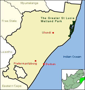
Kosi Bay is a series of four interlinked lakes in the Maputaland area of KwaZulu-Natal, South Africa. Ecology The lakes form part of the iSimangaliso Wetland Park, a UNESCO World Heritage Site. The closest town is Manguzi, some away from it. Kosi Bay estuary is only from the Mozambique border. It is possible to walk from the estuary to Ponta do Ouro in only an hour or so. It is one of the quietest beaches in South Africa. The Kosi River Mouth is known as "the aquarium" because of the clarity of the water and the abundance of fish species. Bird species in the area include the palm-nut vulture, Pel's fishing owl, white-backed night-heron, and kingfishers. Duiker, hippopotamus, crocodiles and bull sharks are also present, and loggerhead and endangered leatherback sea turtles lay their eggs on the beach. The Bay is noted for its aggressive bull shark population. The sharks are locally known as zambesi. Whale sharks and manta rays also visit the area. Whale watching to target ma ... [...More Info...] [...Related Items...] OR: [Wikipedia] [Google] [Baidu] |
Bronkhorstspruit
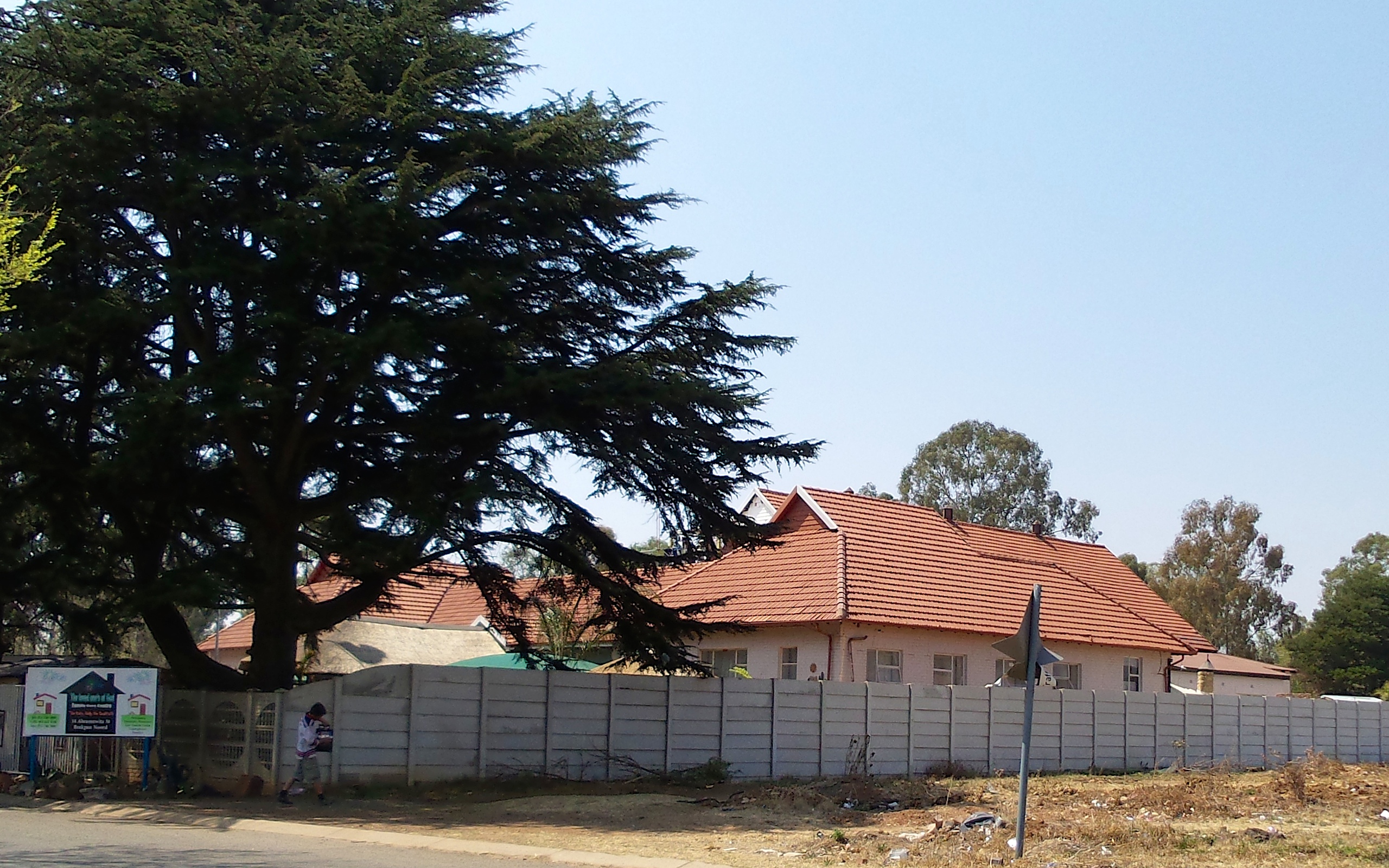
Bronkhorstspruit is a town 50 km east of Pretoria, Gauteng, South Africa along the N4 highway towards Witbank. It also includes three townships called Zithobeni, Rethabiseng and Ekangala. On 18 May 2011, the Tshwane Metropolitan Municipality took over the municipal administration from the abolished Kungwini Local Municipality, which makes Bronkhorstspruit part of Tshwane. History In 1858, a group of Voortrekkers settled beside the Bronkhorst Spruit creek, which was originally called Kalkoenkransrivier ('turkey cliff river'). The town was laid out on land of the farm ''Hondsrivier'' in 1904 owned by C.J.G. Erasmus and was initially named after him. It adopted the name Bronkhorstspruit in 1935. On 20 December 1880 it was the scene of the Battle of Bronkhorstspruit, an important event in the early days of the First Boer War when a Boer Commando ambushed a British army column, 94th Regiment of Foot, near the present town en route from Lydenburg to Pretoria. There is disagreem ... [...More Info...] [...Related Items...] OR: [Wikipedia] [Google] [Baidu] |
Bapsfontein
Bapsfontein is a farming town in Ekurhuleni, South Africa, and falls into the Elandsvlei Conservancy area. It is situated at the intersection of the R25 R25 may refer to: Automobiles * BMW R25, a German motorcycle * Renault 25, a French executive car * Renault R25, a Formula One car * Yamaha YZF-R25, a Japanese motorcycle Aviation * British Airship ''R25'', a training airship * Rubik R-25 ... and R50 roads. The area is known for its variety of birds as it is directly on the International Bird Route. The surrounding areas are made up of pristine grasslands and many pans are found in the area. Wetlands are protected in this area. Bapsfontein forms part of the catchment area for many essential rivers and dams. Bapsfontein is approximately north east of Kempton Park and approximately from Benoni. It is zoned as an agricultural area, with a small peri-urban town. Nest Park falls within the Bapsfontein border. Nest Park is made up of approx 255 small farms and is a smal ... [...More Info...] [...Related Items...] OR: [Wikipedia] [Google] [Baidu] |
Bedfordview
Bedfordview is an affluent suburb in western Ekurhuleni, sharing an administrative boundary with the City of Johannesburg Metropolitan Municipality, Gauteng, South Africa. Bedfordview has been part of the City of Ekurhuleni Metropolitan Municipality since 2000. The Eastgate Shopping Centre, one of the biggest in Africa when first built, is also located here. History The site of Bedfordview was largely taken up by the farm ''Elandsfontein'' and was administered as part of the District of Potchefstroom in the South African Republic. The coat-of-arms of Bedfordview features an Eland holding a fountain as a tribute to the early rural history of the town. The Witwatersrand Gold Reef had a huge impact on the area. ''Elandsfontein'' was purchased for the mineral rights, and was later divided into smaller farms and small-holdings, many of which were settled by retired miners. The entire area became known as Geldenhuis Estates Smallholdings. One of these farms was owned by Sir George H ... [...More Info...] [...Related Items...] OR: [Wikipedia] [Google] [Baidu] |
Roodepoort
Roodepoort is a town in the Gauteng province of South Africa. Formerly an independent municipality, Roodepoort became part of the Johannesburg municipality in the late 1990s, along with Randburg and Sandton. Johannesburg's most famous botanical garden, Witwatersrand National Botanical Gardens (now renamed Walter Sisulu National Botanical Garden), is located in Roodepoort. History In 1884, brothers Fred and Harry Struben, having discovered gold on the farm Wilgespruit at the western end of the Witwatersrand, were granted concessions to mine the area. When George Harrison's find at ''Langlaagte'' came to light and gold fever took hold, the Strubens brothers were joined by a swarm of gold diggers. Other areas such as ''Maraisburg'' were prospected and mined by A.P. Marais and at ''Florida'', the owners were van der Hoven, Bantjies and Lys. Though the Struben brothers' ''Confidence Reef'' bore little gold and their mine was unprofitable, the ramshackle town that grew around it becam ... [...More Info...] [...Related Items...] OR: [Wikipedia] [Google] [Baidu] |
Krugersdorp
Krugersdorp (Afrikaans for ''Kruger's Town'') is a mining city in the West Rand, Gauteng Province, South Africa founded in 1887 by Marthinus Pretorius. Following the discovery of gold on the Witwatersrand, a need arose for a major town in the west of the reef. The government bought part of the Paardekraal farm and named the new town after the Transvaal president, Paul Kruger. Krugersdorp no longer has a separate municipal government after it was integrated into Mogale City Local Municipality along with surrounding towns. It is now the seat of government for Mogale City. History Krugersdorp is the site of a December 1880 gathering at which more than 6,000 men vowed to fight for the Transvaal's independence. Founded in 1887 by Marthinus Pretorius after the discovery of gold on his farm, ''Paardekraal'', thereafter the mining industry played an important role in the development of the city. Two important events in the history of South Africa: the Transvaal War of Independence (188 ... [...More Info...] [...Related Items...] OR: [Wikipedia] [Google] [Baidu] |
Rustenburg
Rustenburg (; , Afrikaans and Dutch: ''City of Rest'') is a city at the foot of the Magaliesberg mountain range. Rustenburg is the most populous city in North West province, South Africa (549,575 in 2011 and 626,522 in the 2016 census). In 2017, the city's Gross Domestic Product (GDP) reached ZAR 63.8 billion, accounting for 21.1% of the GDP of the North West Province, and 1.28% of the GDP of South Africa. Rustenburg was one of the official host cities of the 2010 FIFA World Cup, being in close proximity to Phokeng, the capital of the Royal Bafokeng Nation, where the Royal Bafokeng Stadium is located. The England national football team also used this as their base camp for the tournament. History Mfecane Before European settlers arrived, the area had been settled by agrarian Setswana-speaking tribes Rustenburg's population is primarily Tswana people. Partially belonging to the Royal Bafokeng Nation, extensive landowners earning royalties from mining operations. The Royal Baf ... [...More Info...] [...Related Items...] OR: [Wikipedia] [Google] [Baidu] |
Benoni, Gauteng
Benoni is a town in Ekurhuleni municipality, Gauteng, South Africa. Benoni was also the setting for the MTV-inspired movie ''Crazy Monkey: Straight Outta Benoni'', released internationally in 2005. People from Benoni *Urzila Carlson, New Zealand based comedian, from Benoni *R. Graham Cooks, chemist * Charlene, Princess of Monaco, (née Charlene Wittstock), swimmer, and consort of Prince Albert II of Monaco *Bryan Habana, former Springboks rugby player *Philip Holiday, IBF World Champion Boxer *Morris Kahn (born 1930), Israeli billionaire, founder and chairman of Aurec Group * Mildred Mangxola, singer and member of the Mahotella Queens * Frith van der Merwe, schoolteacher at Benoni High and the most prolific female runner in the history of the Comrades Marathon *Pops Mohamed, jazz musician *Genevieve Morton, top model *Grace Mugabe Grace Ntombizodwa Mugabe (' Marufu; born 23 July 1965) is a Zimbabwean entrepreneur, politician and the widow of the late President Robert Mug ... [...More Info...] [...Related Items...] OR: [Wikipedia] [Google] [Baidu] |
Brakpan
Brakpan is a mining town in the Gauteng province of South Africa. History The name Brakpan comes from a small pan on a farm called Weltevreden, which was filled with very brackish water and was probably referred to as the "brakpan," and it was near this pan that the first settlement started. In 1888, a coal seam was discovered and a coal mine under the name of Brakpan Collieries was started. When a railway line was constructed from Germiston to Springs, Brakpan became one of the stations along the route. With gold fever running high on the Witwatersrand in the early years of the twentieth century, it was not long before gold was discovered. In 1905, Brakpan Mines Company sunk its first two gold mining shafts. One of its claims to fame was that it had the highest mine dump in the world at that time, above ground level. This was higher than any of the pyramids of Egypt except the Pyramid of Cheops. From 1905 the village began to grow rapidly, remaining a suburb of Benoni until 19 ... [...More Info...] [...Related Items...] OR: [Wikipedia] [Google] [Baidu] |
Heidelberg, Gauteng
Heidelberg is a town with 35,500 inhabitants in the Gauteng province of South Africa at the foot of the Suikerbosrand next to the N3 highway, which connects Johannesburg and Durban. History Heidelberg began in 1862 as a trading station built by a German, Heinrich Julius Ueckermann. A town was laid out around the store and named after Ueckermann's alma mater. In 1866, the District of Heidelberg was created from the eastern portion of the Potchefstroom district with its own ''landdroost'' (magistrate) having been laid out as a churchplace in 1865. Heidelberg is some 50 kilometres south-east of Johannesburg, close to the Mpumalanga border. Just south of the town is the De Hoek toll plaza on the newest section of the N3, which opened in December 2001. Heidelberg sits nestled at the eastern end of the Suikerbosrand Nature Reserve, a large tract of land that is home to Gauteng's highest point, almost 2,000 metres above sea level. Heidelberg has played an important part in South Afr ... [...More Info...] [...Related Items...] OR: [Wikipedia] [Google] [Baidu] |
Standerton
Standerton is a large commercial and agricultural town lying on the banks of the Vaal River in Mpumalanga, South Africa, which specialises in cattle, dairy, maize and poultry farming. The town was established in 1876 and named after Boer leader Commandant A. H. Stander. During the First Boer War a British garrison in the town was besieged by the Boers for three months. General Jan Smuts won this seat during elections and went on to assist in setting up the League of Nations. Standerton is part of the Lekwa Local Municipality. History Standerton was founded in 1878 on a farm called ''Grootverlangen'' and named after its owner Commandant Adriaan Henrik Stander. The South African Republic's Volksraad approved the formation of a town at the drift in 1876 and proclaimed two years later. It was granted municipal status in 1903. The crossing over the Vaal River, now bridged, was known as ''Stander's Drift'' and a hill close to the town was called ''Standerskop'' were also named after S ... [...More Info...] [...Related Items...] OR: [Wikipedia] [Google] [Baidu] |


