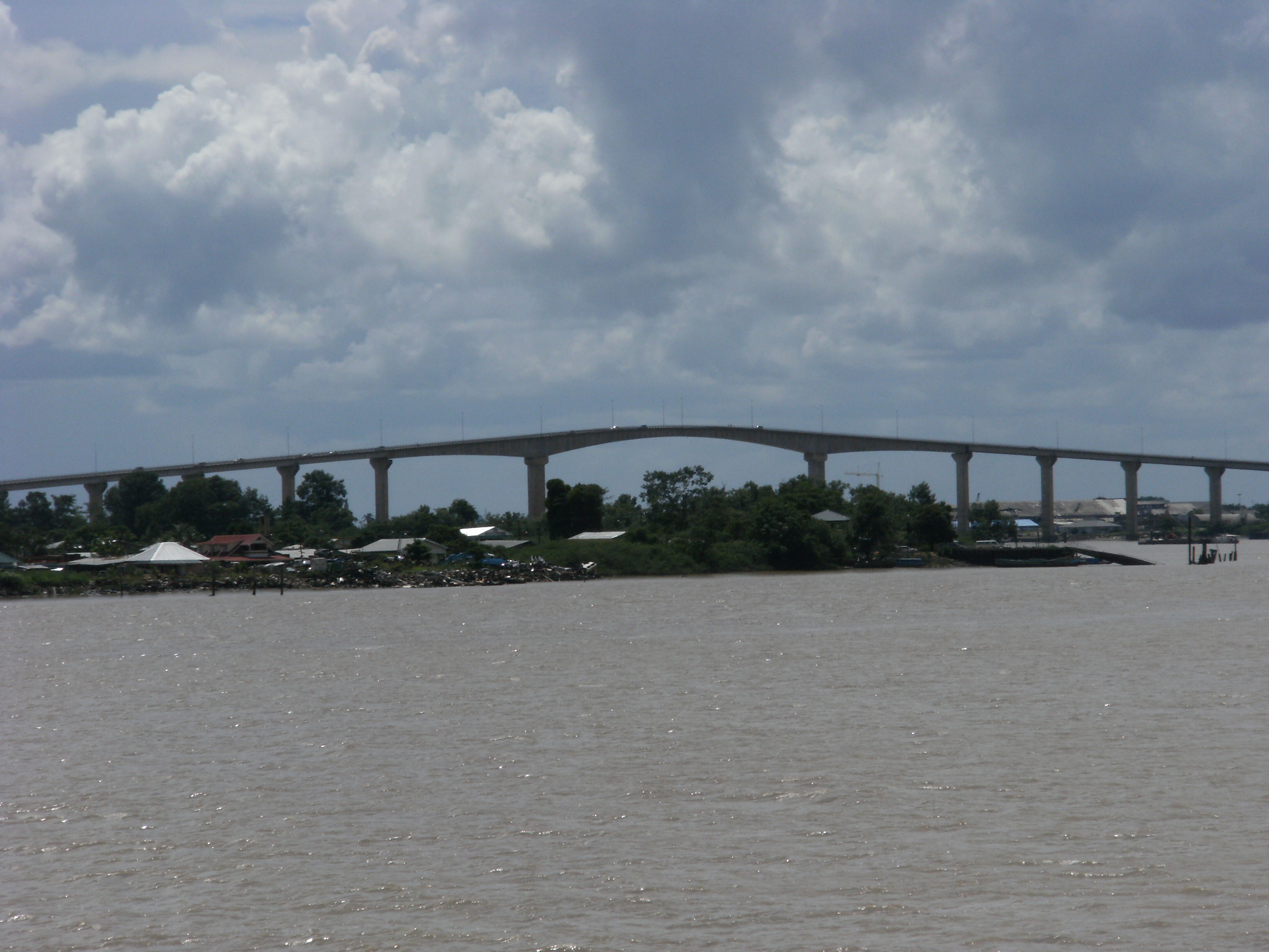
Roads In Suriname on:
[Wikipedia]
[Google]
[Amazon]
There are several named highways in the country of 


Suriname
Suriname (; srn, Sranankondre or ), officially the Republic of Suriname ( nl, Republiek Suriname , srn, Ripolik fu Sranan), is a country on the northeastern Atlantic coast of South America. It is bordered by the Atlantic Ocean to the north ...
.


Avobakaweg
The Avobakaweg is a paved 2-lane road connectingParanam
Paranam is a town in the Para District, Suriname. Paranam was created in 1938 for a bauxite factory. In 1965, an aluminium smelter was added. The factories closed down in 2017.
History
There used to be a little hamlet called ''Klein Curaçao'' a ...
with Afobaka, the location of the Afobaka Dam
The Afobaka Dam is an embankment dam with a main gravity dam section on the Suriname River near Afobaka in Brokopondo District of Suriname. The primary purpose of the dam is to generate hydroelectric power and it supports a 180 MW power station. In ...
. The road connects northwards to Paramaribo and the East-West Link. The Avobakaweg has two major branches: One paved branch leads to Brokopondo
Brokopondo is the capital town of the Brokopondo District, Suriname. It is located on the west shore of the Suriname river, just north of the Afobaka dam. Brokopondo can be reached via the Afobakaweg from Paranam to Afobaka.
Nearby is a granite mo ...
, and another paved branch leads to Pokigron via Brownsweg
Brownsweg is a town and resort in Suriname in the Brokopondo District. Its population at the 2012 census was 4,793. History
The town was named after the road that leads to the Brownsberg, and the Brownsberg Nature Park. It is situated near the ...
. The previous name Afobakaweg was changed in September 2022 to Avobakaweg
Desiré Delano Bouterse Highway
On 15 May 2020, theDesiré Delano Bouterse Highway
The Desiré Delano Bouterse Highway is the first motorway in Suriname between Afobakaweg connecting Paramaribo and Brokopondo to the John F. Kennedyweg near Johan Adolf Pengel International Airport. The motorway opened on 15 May 2020 12:00.
A jou ...
opened, and is the first motorway of Suriname, providing a faster connection between Paramaribo and the Johan Adolf Pengel International Airport.
East-West Link
A major road is the 2-lane East-West Link connecting Albina to Nieuw Nickerie. The road was fully paved on 17 December 2009. There is a Southern East-West Link connecting Paramaribo with Apoera via Bitagron, however it is mainly unpaved.Statistics
* total: 4,304 km (2003) * paved: 1,119 km (2003) * highway: 9.6 km (2020) * unpaved: 3,174 km (2003) NOTE: Driving is on the left.Suriname
Suriname (; srn, Sranankondre or ), officially the Republic of Suriname ( nl, Republiek Suriname , srn, Ripolik fu Sranan), is a country on the northeastern Atlantic coast of South America. It is bordered by the Atlantic Ocean to the north ...
and its neighbour Guyana
Guyana ( or ), officially the Cooperative Republic of Guyana, is a country on the northern mainland of South America. Guyana is an indigenous word which means "Land of Many Waters". The capital city is Georgetown. Guyana is bordered by the ...
are the only two countries on the (in-land) American continent which drive on the left.
Road links with adjacent countries
*Guyana
Guyana ( or ), officially the Cooperative Republic of Guyana, is a country on the northern mainland of South America. Guyana is an indigenous word which means "Land of Many Waters". The capital city is Georgetown. Guyana is bordered by the ...
- Yes, ferry
A ferry is a ship, watercraft or amphibious vehicle used to carry passengers, and sometimes vehicles and cargo, across a body of water. A passenger ferry with many stops, such as in Venice, Italy, is sometimes called a water bus or water taxi ...
from Nieuw-Nickerie to Corriverton.
* Brazil - None.
* French Guiana - Yes, ferry from Albina to Saint-Laurent-du-Maroni.
References
{{reflist Roads in Suriname