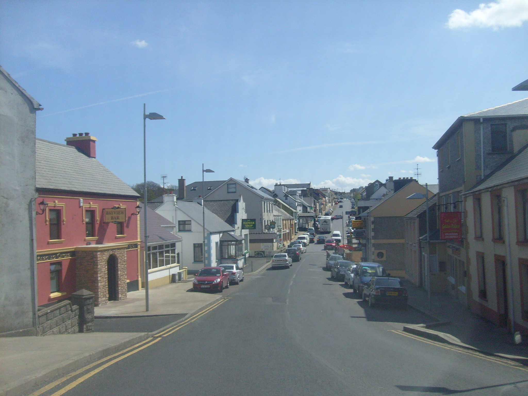
R259 Road (Ireland) on:
[Wikipedia]
[Google]
[Amazon]
The R259 road is a regional road in  The road runs east from
  The road forms part of the
Ireland
Ireland ( ; ga, Éire ; Ulster Scots dialect, Ulster-Scots: ) is an island in the Atlantic Ocean, North Atlantic Ocean, in Northwestern Europe, north-western Europe. It is separated from Great Britain to its east by the North Channel (Grea ...
, located in County Donegal
County Donegal ( ; ga, Contae Dhún na nGall) is a county of Ireland in the province of Ulster and in the Northern and Western Region. It is named after the town of Donegal in the south of the county. It has also been known as County Tyrconne ...
. It is a scenic route
A scenic route, tourist road, tourist route, tourist drive, holiday route, theme route, or scenic byway is a specially designated road or waterway that travels through an area of natural or cultural beauty. It often passes by scenic viewpoints ...
around the coast of The Rosses, which connects with N56 at both ends.
 The road runs east from
 Crolly
''Croithlí'' or ''Croichshlí'' (anglicised as Crolly) is a village in the ''Gaeltacht'' parishes of Gweedore (''Gaoth Dobhair'') and The Rosses (''Na Rossan'') in the west of County Donegal, Ireland. The two parishes are separated by the Crolly ...
to Kincasslagh
Cionn Caslach (anglicized as Kincasslagh) is a small Gaeltacht seaside village in the Rosses area of County Donegal, Ireland. Despite only having a population of just over 40 people, the village has attracted much international attention due to t ...
, where it turns south to Dungloe, becoming the lower half of Dungloe Main Street before again connecting with N56 on Carnmore Road.
Wild Atlantic Way
The Wild Atlantic Way ( ga, Slí an Atlantaigh Fhiáin) is a tourism trail on the west coast, and on parts of the north and south coasts, of Ireland. The 2,500 km (1,553 mile) driving route passes through nine counties and three provinces, s ...
.
References
Regional roads in the Republic of Ireland Roads in County Donegal {{Ireland-road-stub