Qaraqash County on:
[Wikipedia]
[Google]
[Amazon]
Karakax County (), alternatively Moyu County, also transliterated from Uyghur as Qaraqash County (; ), alternately Qaraqash, is a county in the


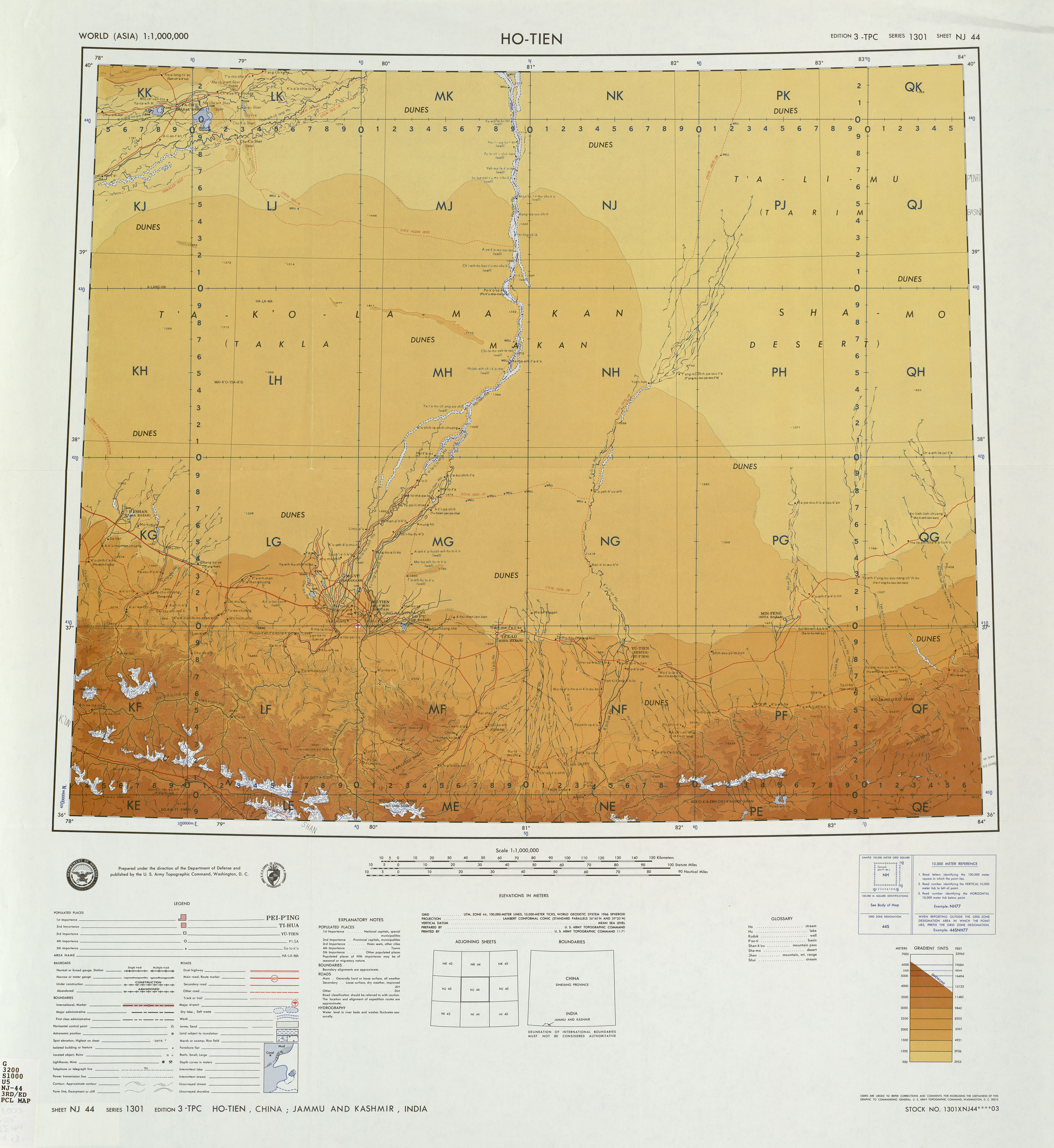
 The populated part of Karakax county is located at the northern edge of the
Xinjiang Uyghur Autonomous Region
Xinjiang, SASM/GNC: ''Xinjang''; zh, c=, p=Xīnjiāng; formerly romanized as Sinkiang (, ), officially the Xinjiang Uygur Autonomous Region (XUAR), is an autonomous region of the People's Republic of China (PRC), located in the northwest ...
and is located in the southern edge of the Tarim Basin
The Tarim Basin is an endorheic basin in Northwest China occupying an area of about and one of the largest basins in Northwest China.Chen, Yaning, et al. "Regional climate change and its effects on river runoff in the Tarim Basin, China." Hydr ...
, it is under the administration of the Hotan Prefecture
Hotan PrefectureThe official spelling is "Hotan" according to (also known as Gosthana, Gaustana, Godana, Godaniya, Khotan, Hetian, Hotien) is located in the Tarim Basin region of southwestern Xinjiang, China, bordering the Tibet Autonomous Region ...
. It contains an area of . According to the 2011 census it has a population of 577,000 and 98,1% are Uyghurs. The county is bordered to the north by Awat County
Awat County, United States National Geospatial-Intelligence Agency () is a county in Aksu Prefecture, Xinjiang Uyghur Autonomous Region, China. Awat County is located on the southern foot of the Tian Shan mountain range and on the northern edge o ...
in Aksu Prefecture
Aksu PrefectureThe official spelling according to is located in mid-Western Xinjiang, People's Republic of China. It has an area of and 2.37 million inhabitants at the 2010 census whom 535,657 lived in the built-up (or metro) area made up of A ...
, to the northeast by Lop County, to the southeast by Hotan County
Hotan County (also known as Gosthana, Gaustana, Godana, Godaniya, Khotan, Hetian, Hotien) is a county in the southwest of the Xinjiang Uyghur Autonomous Region and is under the administration of the Hotan Prefecture. Almost all the residents of t ...
, to the northwest by Maralbexi County
Maralbexi County (Maralbeshi, Maralbishi, transliterated from ; ), Bachu County (), and ) the former long Chinese name as well, is located in the southwest of the Xinjiang Uyghur Autonomous Region of the People's Republic of China and is under th ...
in Kashgar Prefecture
Kashgar Prefecture, also known as Kashi Prefecture, is located in southwestern Xinjiang, China, located in the Tarim Basin region (roughly the southern half of Xinjiang). It has an area of and 4,499,158 inhabitants at the 2015 census with a pop ...
, and to the southwest by Pishan County and Kunyu. Exclaves of Kunyu are located within the county.
History
In the LateQing dynasty
The Qing dynasty ( ), officially the Great Qing,, was a Manchu-led imperial dynasty of China and the last orthodox dynasty in Chinese history. It emerged from the Later Jin dynasty founded by the Jianzhou Jurchens, a Tungusic-speak ...
, the area that would become Karakax County was divided into four ''ming'' () (''Mandarin Chinese
Mandarin (; ) is a group of Chinese (Sinitic) dialects that are natively spoken across most of northern and southwestern China. The group includes the Beijing dialect, the basis of the phonology of Standard Chinese, the official language of ...
Hanyu Pinyin
Hanyu Pinyin (), often shortened to just pinyin, is the official romanization system for Standard Mandarin Chinese in China, and to some extent, in Singapore and Malaysia. It is often used to teach Mandarin, normally written in Chinese for ...
-derived names''): Hayashi (), Buhua (), Makuiya (), and Kuiya (). On the eve of the creation of the county, the area was divided into six ''ming'' (): Zhawa (), Ying'ai () (also known as Tahe ()), Balamusu (), Kuiya (), Makuiya (), and Ka'ersai ().
In 1919, the county was split off from Hotan County
Hotan County (also known as Gosthana, Gaustana, Godana, Godaniya, Khotan, Hetian, Hotien) is a county in the southwest of the Xinjiang Uyghur Autonomous Region and is under the administration of the Hotan Prefecture. Almost all the residents of t ...
.
In October 1984, the people's communes in the county were replaced with towns and townships.
In 2012, Zawa (Zhawa) was changed from a township into a town.
In 2013, Kuya (Kuiya) was changed from a township into a town.
On February 13, 2014, Qarasaz (Ka'ersai) was changed from a township into a town.
On the morning of June 20, 2014, five police officers at a security checkpoint in Kayash village in Manglay township were found dead killed by unknown assailants. The security checkpoint, known as a place where women wearing headscarves and men wearing beards would be interrogated, was razed to the ground.
At 3 AM on July 19, 2014, the day after a raid at a local mosque, Zeynep Memtimin, wife of party secretary Rejep Islam, was killed by unknown assailants in an attack at their home. Islam was severely injured and left for dead, but survived.
In December 2016, the Communist Party
A communist party is a political party that seeks to realize the socio-economic goals of communism. The term ''communist party'' was popularized by the title of ''The Manifesto of the Communist Party'' (1848) by Karl Marx and Friedrich Engels. A ...
office in Karakax County was reportedly attacked by assailants using knives and improvised explosive devices, leading to the deaths of two government employees and three assailants.
In 2017, the county was divided between four and later five main district area committees ().
In February 2020 dissidents leaked the hacked records of 311 detained Uyghurs from a single neighborhood in Karakax County.
Geography


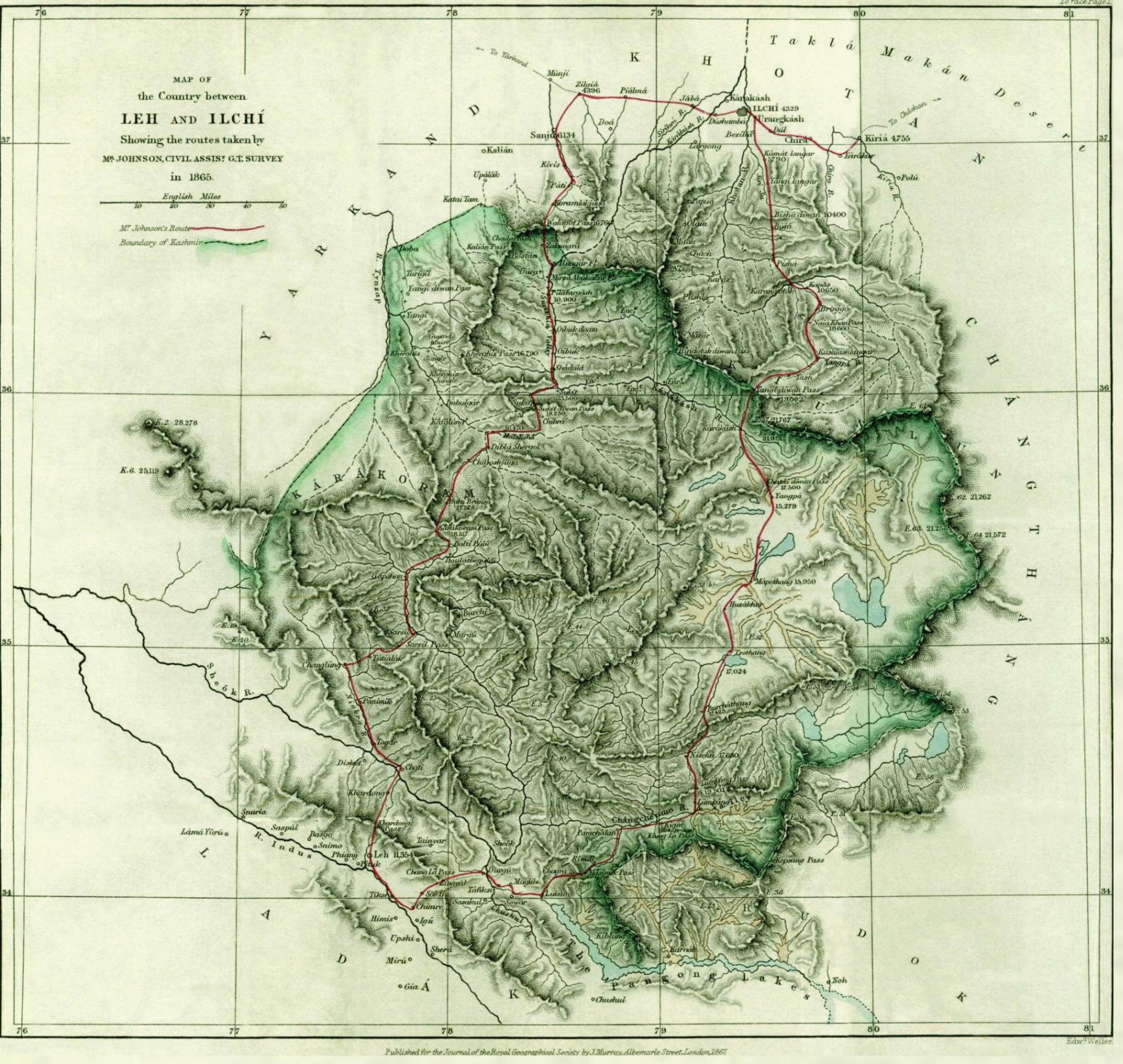
 The populated part of Karakax county is located at the northern edge of the
 Karakoram mountains
The Karakoram is a mountain range in Kashmir region spanning the borders of Pakistan, China, and India, with the northwest extremity of the range extending to Afghanistan and Tajikistan. Most of the Karakoram mountain range falls under the ...
and southern part of Tarim basin
The Tarim Basin is an endorheic basin in Northwest China occupying an area of about and one of the largest basins in Northwest China.Chen, Yaning, et al. "Regional climate change and its effects on river runoff in the Tarim Basin, China." Hydr ...
(Taklamakan Desert
The Taklimakan or Taklamakan Desert (; zh, s=塔克拉玛干沙漠, p=Tǎkèlāmǎgān Shāmò, Xiao'erjing: , dng, Такәламаган Шамә; ug, تەكلىماكان قۇملۇقى, Täklimakan qumluqi; also spelled Taklimakan and Te ...
). The Karakax river separates the county from Hotan County
Hotan County (also known as Gosthana, Gaustana, Godana, Godaniya, Khotan, Hetian, Hotien) is a county in the southwest of the Xinjiang Uyghur Autonomous Region and is under the administration of the Hotan Prefecture. Almost all the residents of t ...
and the Hotan River
The Hotan River (also known as the Khotan River or the Ho-t'ien River) is formed by the union of the White Jade (Yurungkash) and Karakash (Black Jade) Rivers, which flow north from the Kunlun Mountains into the Taklamakan Desert in northern C ...
separates the county from Lop County. The length from south to north is and width from east to width is . Mazartag
Mazartag ( Uyghur: مازارتاغ,, United States National Geospatial-Intelligence Agency Мазартағ, ''Mazartagh''; , Ma-cha-t’a-ko) is an arc-shaped mountain range located in the western part of Tarim Basin, between the Hotan and Yar ...
is a prominent arc-shaped mountain range in the northern desert area of the county.
Climate
Administrative divisions
Karakax county is subdivided into the following fivetowns
A town is a human settlement. Towns are generally larger than villages and smaller than cities, though the criteria to distinguish between them vary considerably in different parts of the world.
Origin and use
The word "town" shares an ori ...
, 11 townships and two other areas, in total 18 township-level divisions (referred to in Uyghur as bazar and yéza):
Towns:
* Karakax (Kalakashi; / ), Zawa (Zhawa, Cha-wa; / ), Kuya (Kuiya; / ), Qarasay (Ka'ersai; / ), Purchaqchi (Puqiakeqi; / , formerly / )
Townships:
* Aqsaray (Akesalayi; / ), Urchi (Wu'erqi; / ), Tokhula, United States National Geospatial-Intelligence Agency (Tuohula, Tuxula; / ), Saybagh, United States National Geospatial-Intelligence Agency (Sayibage, Saywagh; / ), Jahanbagh (Jiahan Bage; / ), Manglay (Manglai; / ), Qochi (Kuoyiqi; / ), Yawa (Ya-wa; / ), Tüwat, United States National Geospatial-Intelligence Agency (Tuwaite, Tüwet; / ), Yéngiyer (Yingye'er; / ), Kawak (Kawake; / )
Other areas:
*Regiment 417 (), Regiment 224 ()
Economy
The county produces cotton, corn, wheat, melons, silkworm cocoons, black jade and walnuts. Industries include cotton ginning, food processing, tractors and carpet making.Demographics
As of 2015,Uyghurs
The Uyghurs; ; ; ; zh, s=, t=, p=Wéiwú'ěr, IPA: ( ), alternatively spelled Uighurs, Uygurs or Uigurs, are a Turkic ethnic group originating from and culturally affiliated with the general region of Central and East Asia. The Uyghur ...
made up 97.61% of the population of the county. Han Chinese
The Han Chinese () or Han people (), are an East Asian ethnic group native to China. They constitute the world's largest ethnic group, making up about 18% of the global population and consisting of various subgroups speaking distinctive va ...
made up 2.34% of the population.
As of 1999, 98.53% of the population of Karakax (Moyu) County was Uyghur and 1.44% of the population was Han Chinese.
Transportation
Karakax county has daily bus and taxi to Hotan and other counties like Guma, and also has direct luxury buses to Ürümchi, which is the capital city of Xinjiang, Karakax is also served byChina National Highway 315
Constructed in 1954, the Qinghai-Xinjiang Highway, also known as the China National Highway 315 (G315) runs west from Xining, Qinghai towards Kashgar, Xinjiang. It is in length. In 1994 the departments of communication and transportation in Qingh ...
and the Kashgar-Hotan Railway.
A long, straight special-use road () enters the Taklamakan Desert northwest of Dunkule village () in Kawak (Kawake) township. The road turns near a ridge and terminates near buildings. The area is near Mazar Tagh
Mazar Tagh is the site of a ruined hill fort in the middle of the Taklamakan desert, dating from the time of the Tibetan Empire. Like the Miran fort site, its excavation has yielded hundreds of military documents from the 8th and 9th century, whi ...
(Ma-cha-t’a-ko, Mazartag; / )., United States National Geospatial-Intelligence Agency
See also
*Melikawat
Melikawat (; ; there are other Chinese spellings as well) is an archaeological site located 18 miles (30 kilometres) south of Hotan, Xinjiang in north-western China. It was once a city that functioned as a major Buddhist center in the Kingdom of ...
Notes
References
{{Authority control County-level divisions of Xinjiang Hotan Prefecture